Tornadoes, Windstorms Pave Way for Lasting Plant Invasions
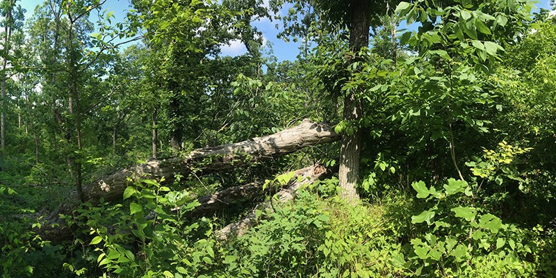
Landsat shows that large blowdown areas in southern Illinois forests are more heavily invaded by invasive species and slower to recover than smaller areas after a tornado.

Landsat shows that large blowdown areas in southern Illinois forests are more heavily invaded by invasive species and slower to recover than smaller areas after a tornado.
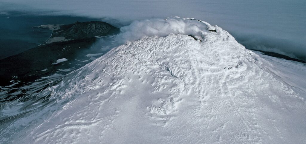
Landsat, Sentinel-2, and ASTER confirm a rare lava lake in Mt. Michael’s crater on the sub-Antarctic Saunders Island—a “remarkable geological feature.”
Harnessing 30 years of Landsat data, a team of researchers from Australia has created the first 3D model of Australia’s entire coastline.
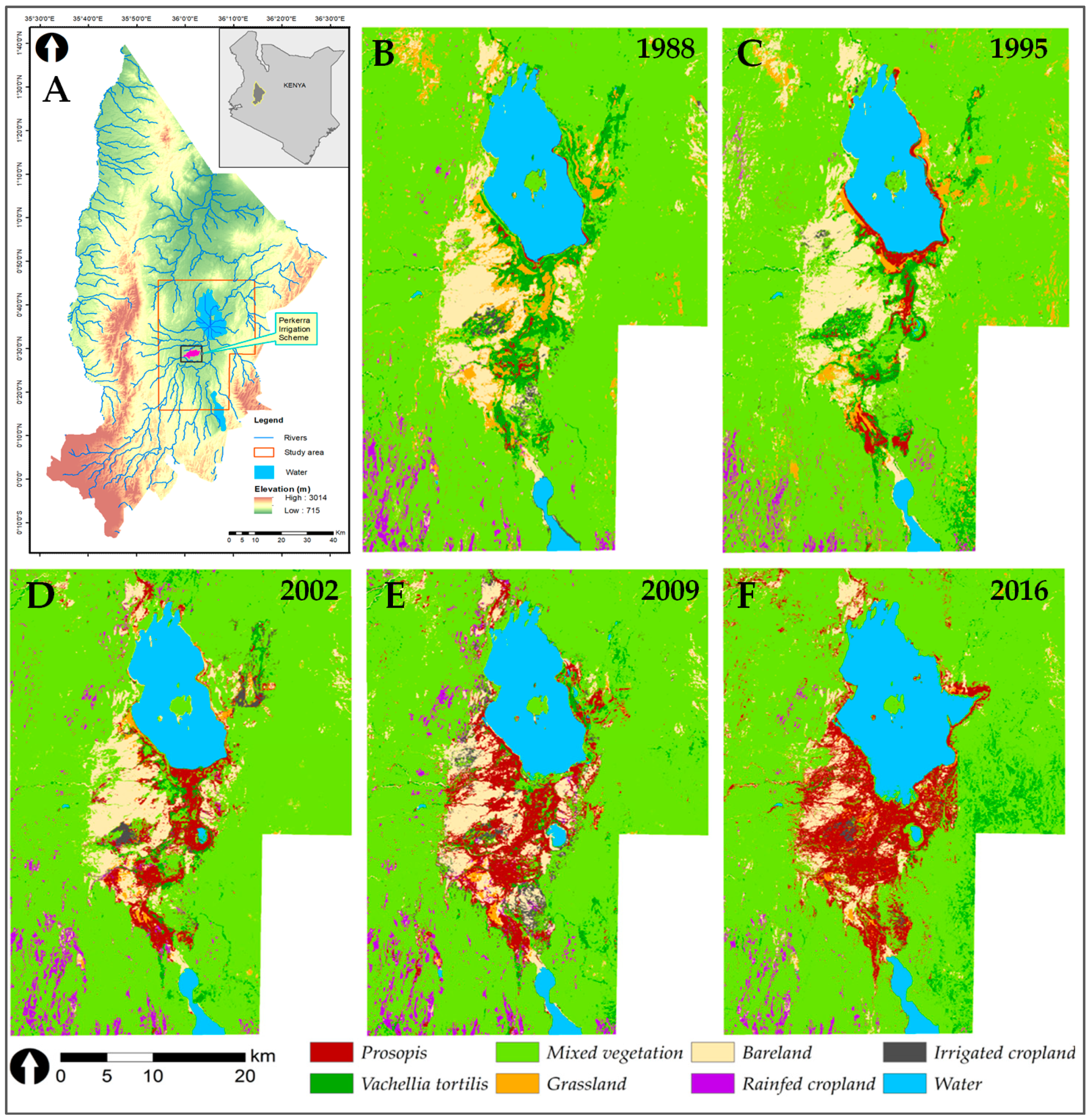
Prosopis was introduced to Kenya in the 1980s to provide fuelwood; it has since turned into an environmental scourge. Landsat has tracked its fast-paced spread.
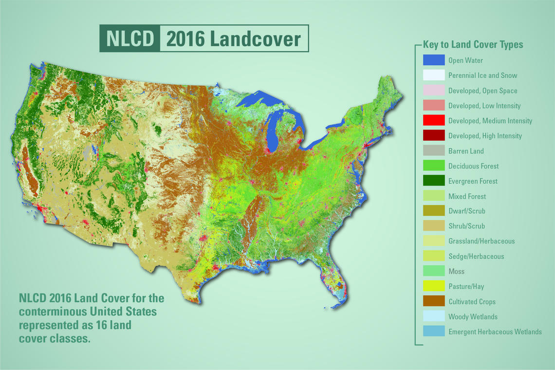
USGS released the latest edition of the National Land Cover Database (NLCD) for the U.S.—the most comprehensive land cover database that the USGS has ever produced.
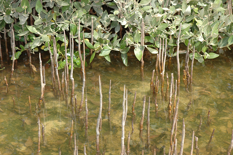
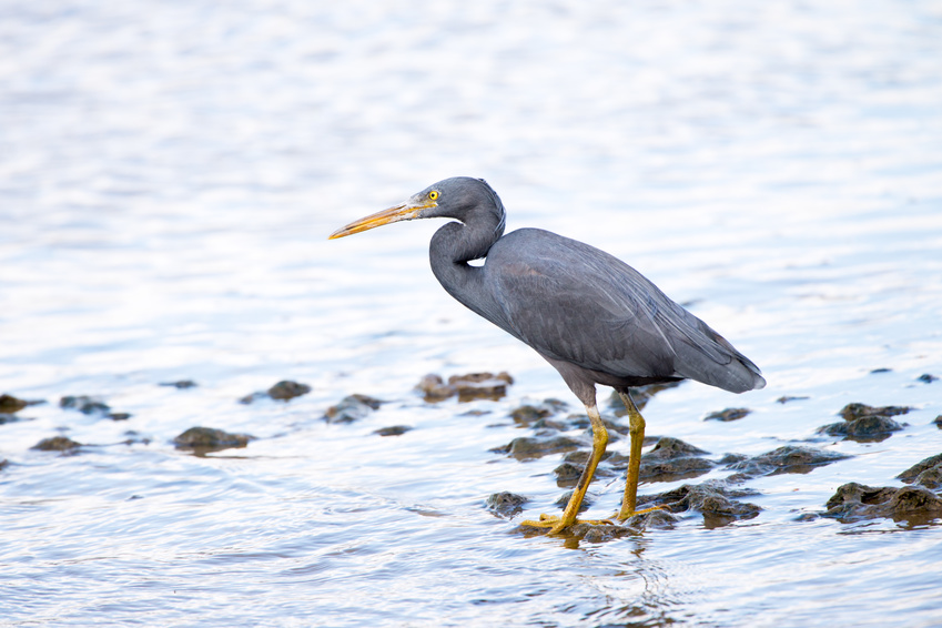
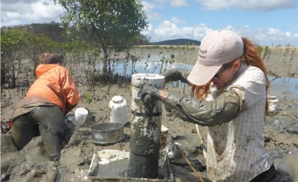
A group of researchers have used Landsat data to help solve a case of missing mangroves in Saudi Arabia’s Jubail Conservation.
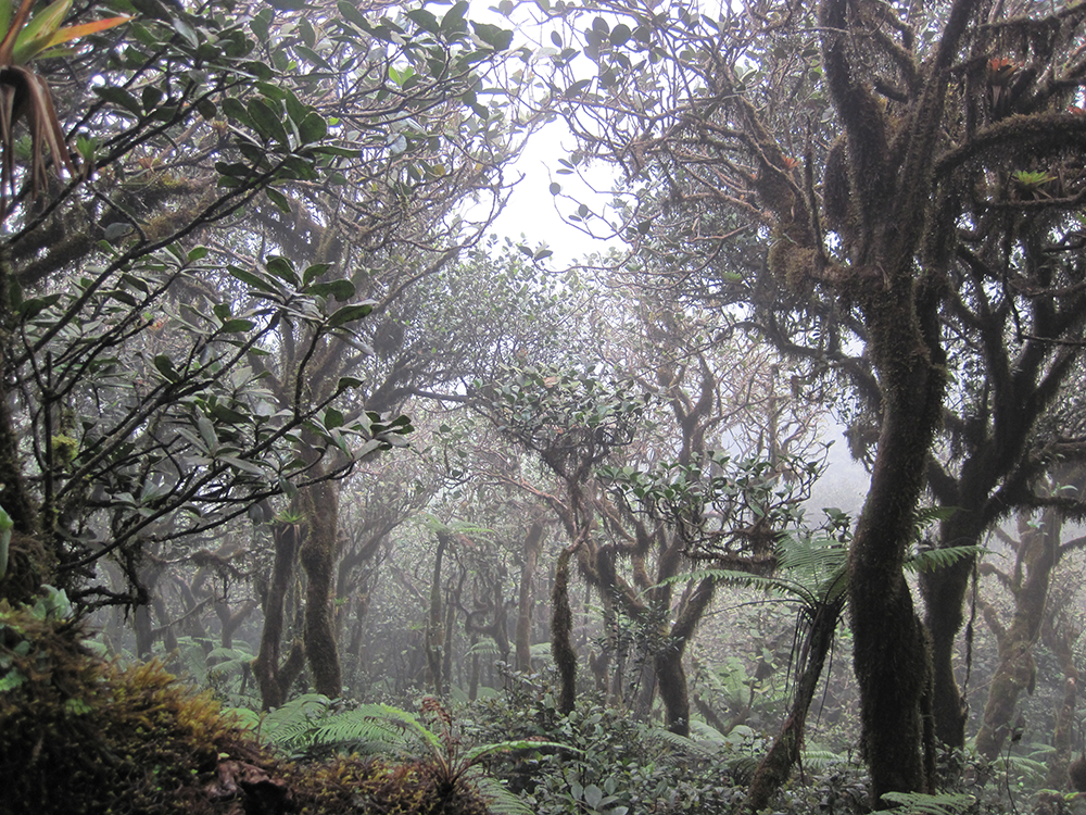
If greenhouse gas emissions continue increasing as they have been, 90% of Western Hemisphere cloud forests would be affected as early as 2060.
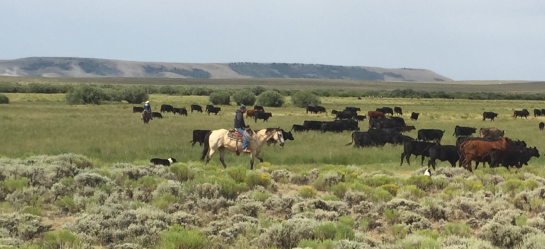
The Landsat-based Rangeland Analysis Platform and Green-Cast are valuable tools for ranchers adaptively managing their land.
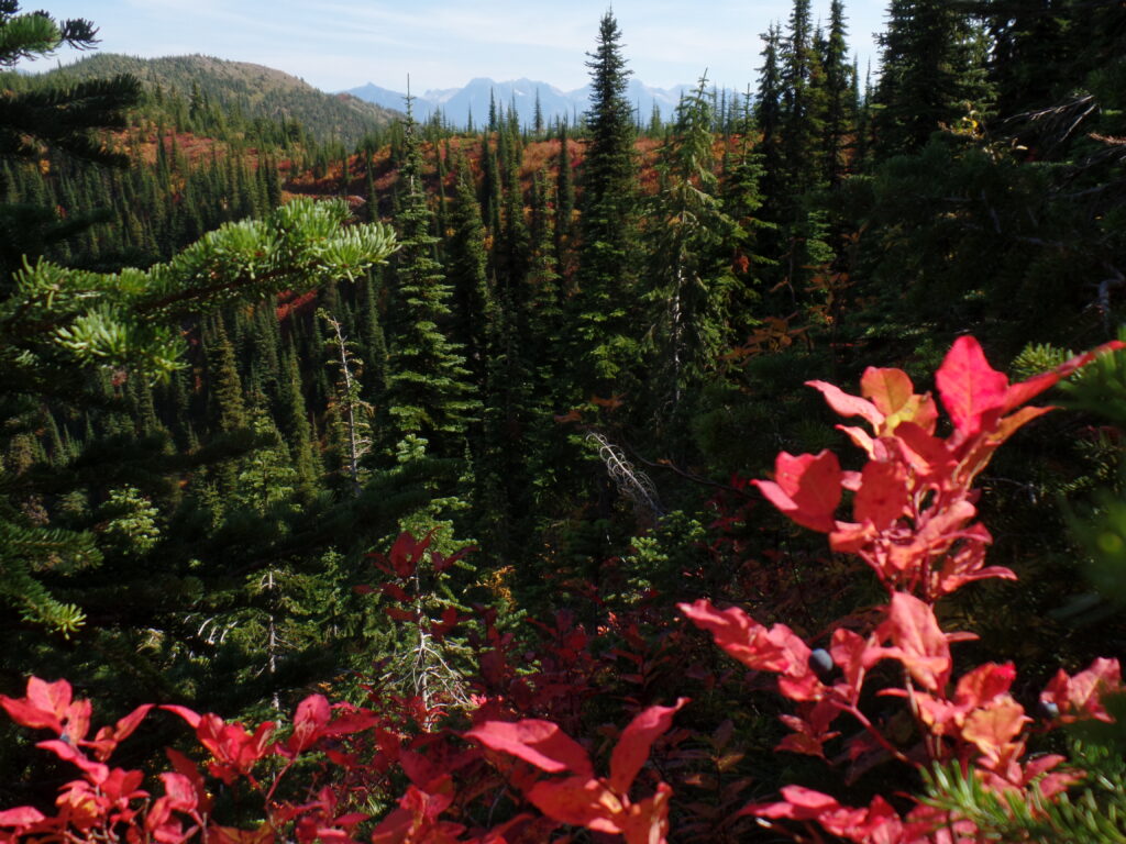
A Landsat-based approach to map huckleberry distribution across Glacier National Park could one day provide warnings of potential human-bear conflict areas.
The study used machine-learning to analyze more than 700,000 Landsat images to map changing global distribution of intertidal areas over a 30-year period.
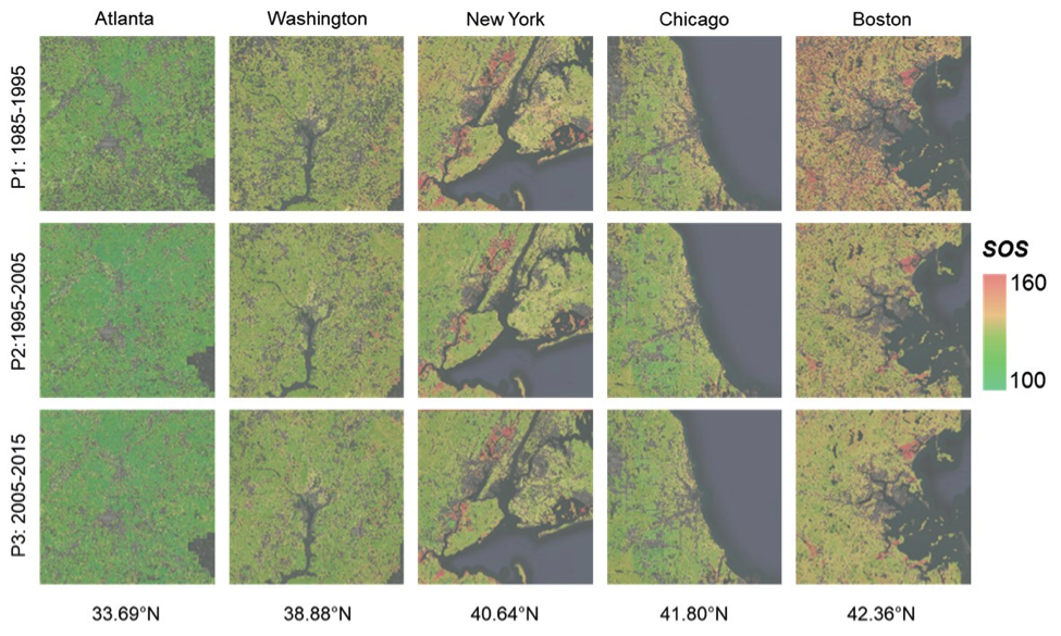
New insights on how vegetation phenology in urban and surrounding areas respond to urbanization.
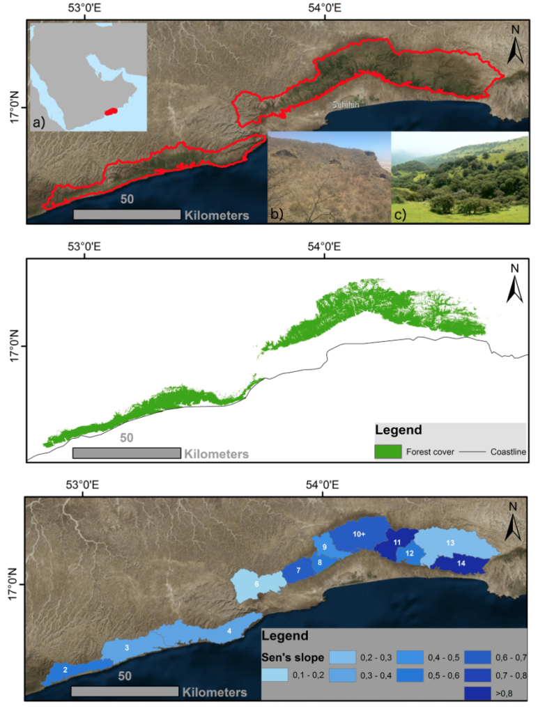
Learn more about this rather unusual seasonal and semi-arid cloud forest.
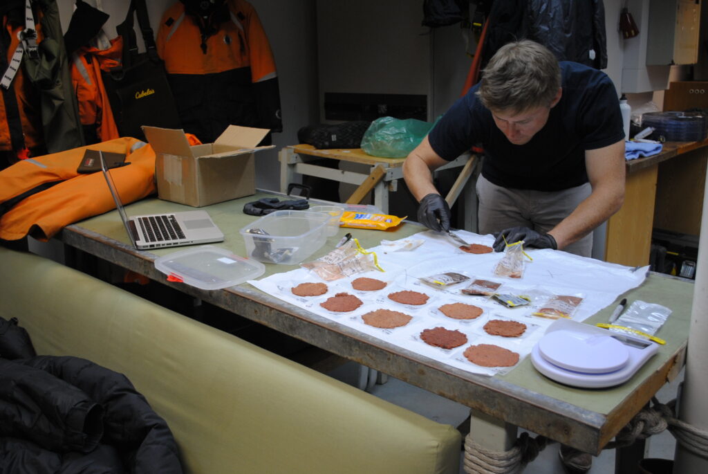
Scientists are now able to determine what penguins are eating from space.
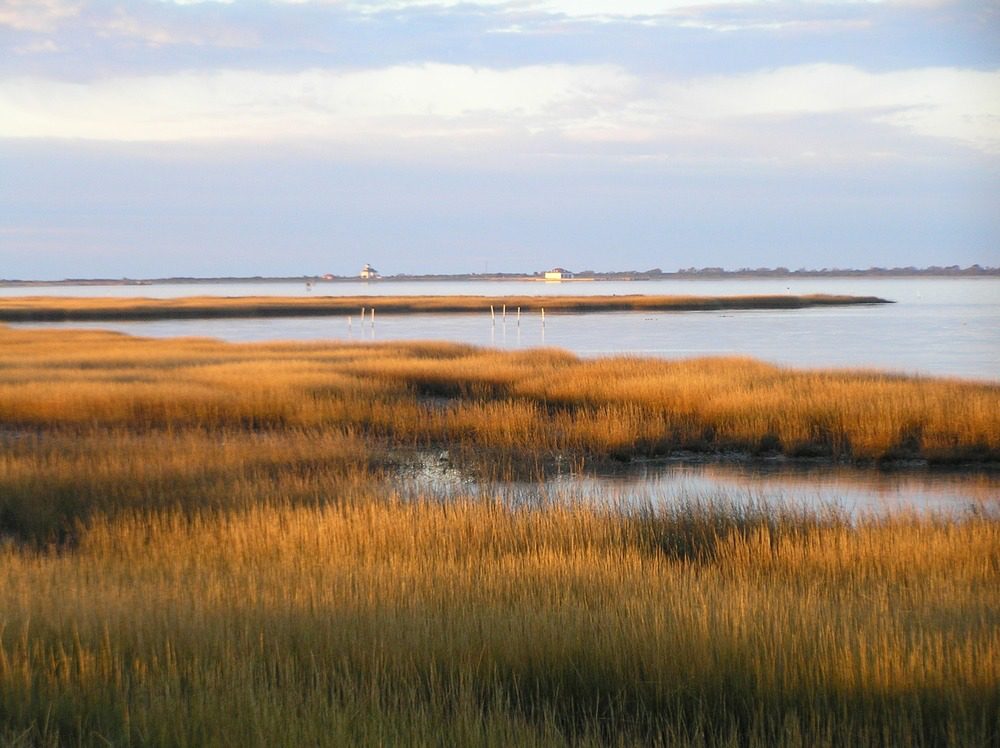
This research identified the Delmarva as an area of significant salt marsh loss over the last three decades.
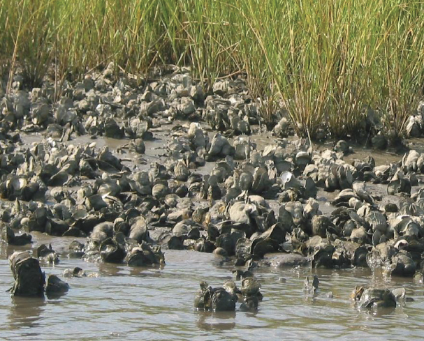
There is evidence of oyster reefs driving estuary-scale detention of freshwater in the Suwannee Sound.
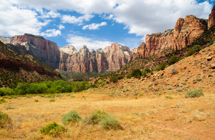
Across the Great Basin from 1984-2016, shrub and grass vegetation are declining.
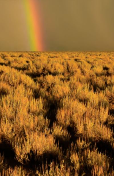
USGS scientists are working with the Landsat-based NLCD shrubland dataset to help land managers restore native sagebrush landscapes.

Stanford research shows the drying trend in Canada’s Peace-Athabasca Delta is linked to the long-term decline in populations of the semi-aquatic muskrat.
The patterns of large-scale tropical deforestation endure across landscapes, even after more than a half-century of tropical rainforest expansion and growth.
Researchers have succeeded in producing distribution maps for a selection of important tropical tree species in Peruvian lowland Amazonia.
Australian researchers have used Landsat imagery to map coastal habitats critical to threatened and migratory species in northern Australia.
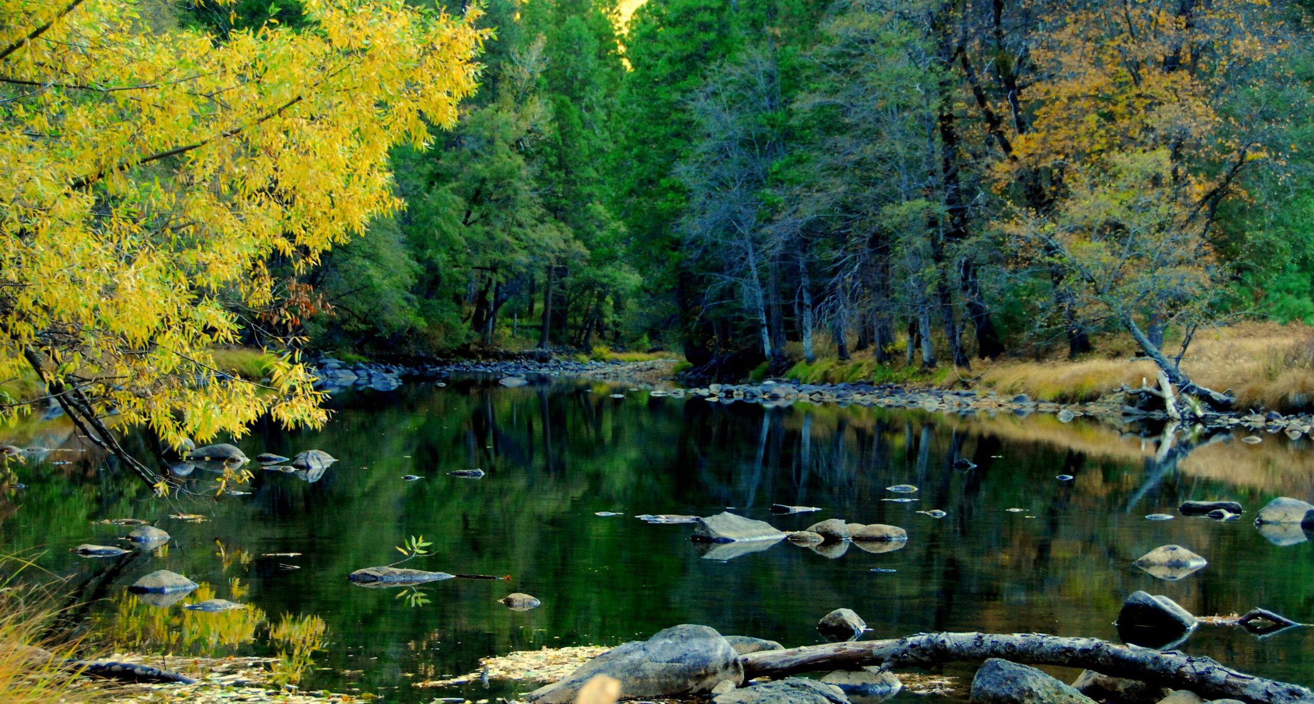
This project used Landsat 5 and Landsat 8 data to create land use maps to analyze change in riparian case study areas.
A Landsat 8 image of the Suwannee River meeting the Gulf of Mexico took first place in this year’s Envisioning Science image competition held by NC State.
A mapmaking app that can fast-track large-scale ecosystem analysis from months to minutes.
New research from EROS on dryland phenology, is poised to aid land managers’ fight against invasive, fire-prone species that wreak havoc on native landscapes.
A new, highly accurate, automated way to detect clouds and their shadows from satellite images over unusually cloudy places.
This is the first study to document more than three decades of land and water changes across Alaska.
Using a quarter century of Landsat data, geospatial researchers have mapped and modeled how vegetation responds to water availability across the entire Murray-Darling Basin.
Annual maps of the lower-48 United States produced from Landsat satellite data illustrate how these dynamic systems changed from 1986-2010.
Patrick Hostert from the University of Berlin discusses the value of Landsat’s long archive to studying phenology.
Last spring, NASA researchers flew over the Everglades and Puerto Rico to measure how mangroves and rainforests grow and evolve over time, then hurricanes Irma and Maria struck.
NASA satellites are helping Wisconsin develop a clearer picture of its diverse and abundant fauna.

A new program uses Landsat satellite data to automatically categorize what’s on the ground more accurately than other land cover products.
