
Warren Cohen, Research Forester with the U.S. Forest Service (USFS), and member of the U.S. Geological Survey (USGS)/NASA Landsat Science Team, along with Sean Healey, Research Ecologist with USFS, are co-leading a project to provide this type of needed forest cover change information. Their Landsat Change Monitoring System (LCMS) is now beginning to create these necessary forest disturbance maps.
During the LCMS research and development phase, Cohen and Healey’s team has been developing an overarching framework for integrating the map products of multiple disturbance algorithms using ensemble models, an innovative and pragmatic approach to disturbance monitoring.
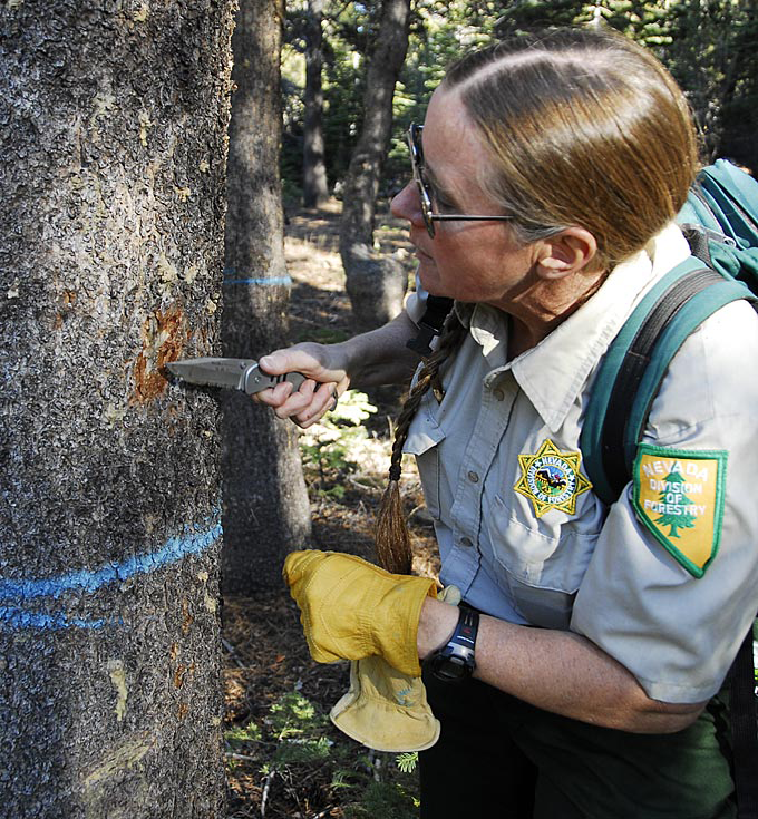
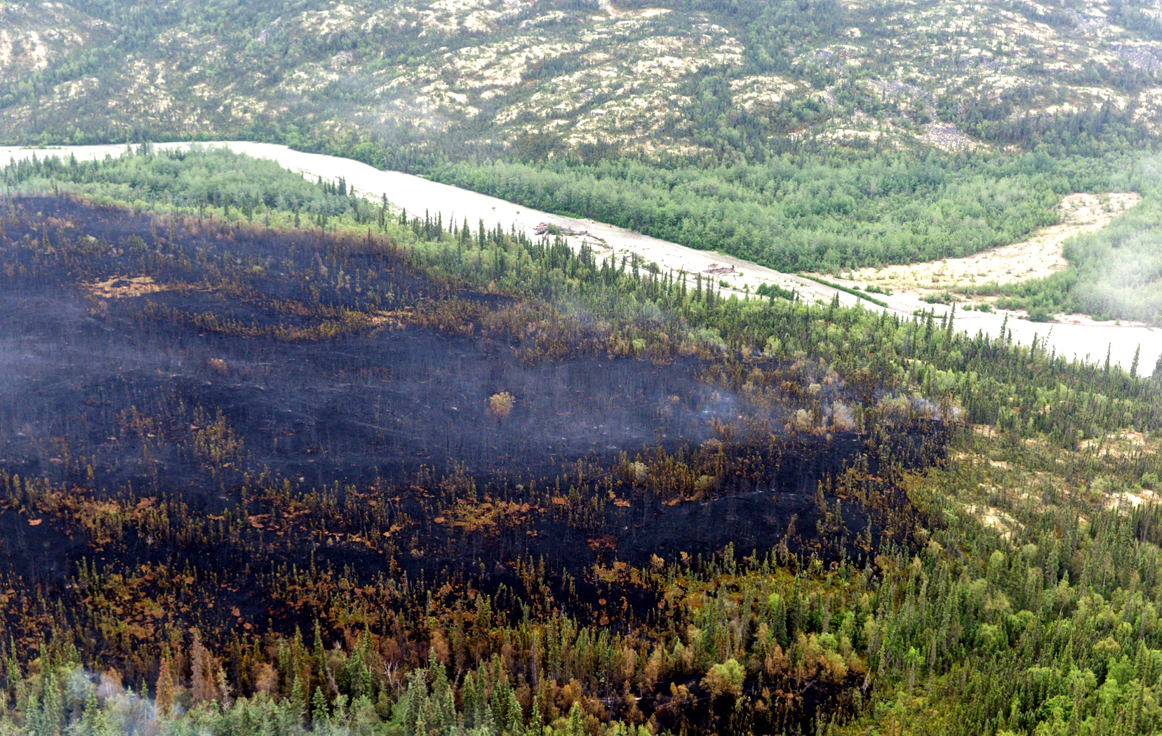
Forests can be disturbed in many ways that include wildfire, forest cutting, insect and disease, and drought and temperature stress associated with climate change. LCMS builds on its highly successful precursor, the interagency “Monitoring Trends in Burn Severity” project. Science is driving development, with implementation led by Kevin Megown at the USFS Remote Sensing Applications Center.
Current objectives are to: 1) catalog and connect existing information products; 2) prototype a web-based system for distribution of data, information, and analysis products, and 3) identify gaps and evaluate the ability of emerging approaches to fill gaps. LCMS will be operational by 2016.
Concurrently, the team is testing a new approach to the integration of algorithm map products and related spatial data. Cohen explains, “Many great minds have tackled the issue of how best to characterize forest and other disturbances. The priorities and capabilities of these algorithms overlap to some degree, but each has its own strengths.”
The science team thought, why not use a whole ensemble of algorithms to capture a more comprehensive mosaic of disturbances? Now there are pilot studies underway to test at least eight algorithms in different areas of the country and internationally for different types of change.
The LCMS scientists are learning a great deal about the application of algorithms to forest disturbance. They know from years of experience that different change detection algorithms are sensitive to different types of subtle forest change, and that every spectral band acts a little differently in terms of indicating change. Furthermore, a given band may be effective in one place but not in another.
Processing so much data cannot be done efficiently on just any system. The team turned to Google Earth Engine, which allows direct access to the Landsat archive and can meet the team’s demands for processing complexity and speed. With Earth Engine, Healey, Cohen and their team can apply the algorithms to Landsat data in the cloud rather than using the more cumbersome system of downloading data and then applying the algorithms.
“Google wants to make the world a better place by applying our technology to solving some of the big problems,” explained Noel Gorelik, software engineer with Google. “Working with Landsat scientists who are doing cutting edge research is one way for us to develop the best possible product for the wide community of data users.”
To maximize the effectiveness of this work by extending the temporal domain backwards to 1972, the LCMS team has also been learning how to improve the value of data from the Multispectral Scanner System (MSS), a sensor that flew on the first five Landsat satellites. Many people do not use that dataset because its quality is lower than that of more recent instruments. But MSS covered a unique time period during which no other sensors were recording landscape changes and during which there was significant change.
The team has been pioneering harmonization approaches to effectively integrate MSS data with the successor datasets (TM, ETM+, OLI), including use of up-to-date calibration coefficients, improved geo-referencing, automated cloud masking, atmospheric correction, and spectral integration across sensors. Google stepped in as partner on this effort to facilitate execution over the full archive.
“We should have MSS data processed and harmonized in Earth Engine soon,” says Cohen. “We intend for this work to serve the wider community of forest managers and of land cover characterization professionals. We always have their needs in mind.”
Further information:
+ Laboratory for Applications of Remote Sensing in Ecology
+ TimeSync
+ Remote Sensing Applications Center

Scenes from the Polar Night
Landsat satellites have begun regularly acquiring images of ice at the poles during the winter, with enlightening results.


