South Dakota State University expertise is at work every time a computer user uses Google Earth software or various other tools to study satellite images.
Professor Dennis Helder, the head of Department of Electrical Engineering and Computer Science and SDSU’s director of engineering research, said SDSU has played a quiet, background role for years in helping scientists and the general public use satellite images.
Helder has been working with the the U.S. Geological Survey Center for EROS and with NASA since 1988 on satellite image processing. Located near Sioux Falls, EROS — the acronym stands for Earth Resources Observation and Science — is home to the U.S. National Satellite Land Remote Sensing Data Archive.
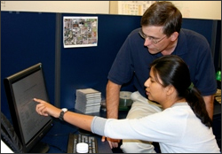
SDSU works closely with the EROS and eventually formed the SDSU Image Processing Laboratory because of its growing expertise with satellite imagery. The lab is staffed by a group of 12 to 15 engineers, physicists, and students who focus on the important work of calibrating satellite images.
“A satellite image without calibration is a pretty picture. They’re gorgeous. You can put them up on the wall and use them as art,” Helder said. “But if you calibrate that image, then every pixel in that image is a known quantity of energy. It’s a measure of the amount of energy upwelling from the earth’s surface to that satellite sensor, and thus the image becomes a data set that scientists can use to better understand what’s happening on our earth, from a local, to a regional, to a global perspective.”
Satellite imagery is a wonderful tool for scientists and planners, Helder said — perhaps to see how growth is proceeding on the outskirts of a city such as Sioux Falls, perhaps to study rain forests in another country.
“They want to use that image to learn something about the earth’s surface, how much deforestation there is in Brazil, for example. They can’t do that very well unless they have calibrated imagery,” Helder said. “And so everything they do is based on our group doing our job right.”
The SDSU lab calibrates satellite images in three ways. Using the science of radiometry they convert the value of each pixel on a satellite image to a unit of energy.
Secondly, they work with spatial quality of the images. “A satellite imaging system is a camera,” Helder explained. “They have just a little bit of blur associated with them. So we measure that blur very accurately with different types of targets that we put out on the earth’s surface.”
Finally, SDSU scientists measure the geometric fidelity of the image. That is, they make sure the pixels are in the right place so that a round building appears round, for example.
Helder said the SDSU Image Processing Laboratory’s work in cooperation with the EROS Data Center has typically been with imagery produced by the U.S. Geological Survey’s Landsat series of satellites, which have captured more than 2 million satellite images of earth since the first satellite was launched in 1972. But as the lab’s expertise and reputation has grown, it has been called upon for other jobs.
For example, the Google Earth software uses a mix of Landsat images, as well as higher resolution images produced by a private company called DigitalGlobe. The SDSU lab contracted with NASA to help calibrate DigitalGlobe’s satellite, called QuickBird.
In fact, until recently, computer users could have used Google Earth to zoom in on Brookings and might have noticed some blue tarps on the ground in a grassy area south of the Brookings 3M plant — some of the targets the SDSU lab was using to calibrate QuickBird.
“Those images of Brookings were collected because we were funded by NASA to calibrate that satellite to make sure it met government standards. So that’s our claim to fame for Google Earth,” Helder said.
Helder said the SDSU Image Processing Laboratory will continue to cooperate with EROS Data Center on calibration when the U.S. Geological Survey launches its next satellite, the LDCM. The acronym stands for Landsat Data Continuity Mission. It’s projected to have a launch date in summer 2011.
The SDSU Image Processing Laboratory also provides a training ground for graduate and undergraduate students who are working toward careers in engineering, Helder said.
Contributor: Lance Nixon, South Dakota State University

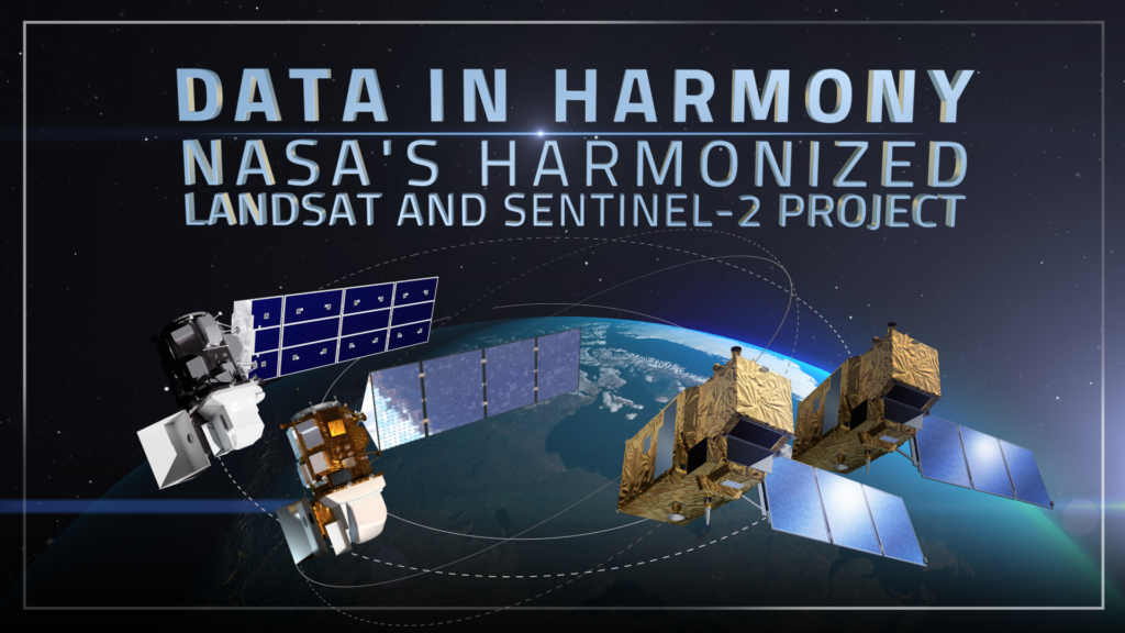
Data in Harmony: NASA’s Harmonized Landsat and Sentinel-2 Project
NASA’s Harmonized Landsat and Sentinel-2 (HLS) project is a groundbreaking initiative that combines data from Landsats 8 & 9 with the European Space Agency’s Sentinel-2A & 2B satellites.


