Source: Berry Clemens, Kansas Biological Survey, KU News Release
- University of Kansas scientists have released an updated land-cover map of the state of Kansas designed to help researchers forecast the effect of global change on the state’s landscape.
The new digital map is a valuable dataset for visualizing landscape patterns throughout the state. The work was funded as part of a three-year grant from the National Science Foundation and the state of Kansas titled “Understanding and Forecasting Ecological Change: Causes, Trajectories and Consequences of Environmental Change in the Central Plains.”
The new land-cover map will be used by Kansas geographers, ecologists, economists and hydrologists to investigate and forecast environmental changes that occur as a result of climate- and human-induced change. The map was produced by the Kansas Applied Remote Sensing Program, a division of the Kansas Biological Survey, and covers the state of Kansas as well as the Kansas River watershed. The combination of high-resolution and wide-area coverage provides scientists a mechanism for forecasting the effects of climate change on plant and animal communities.
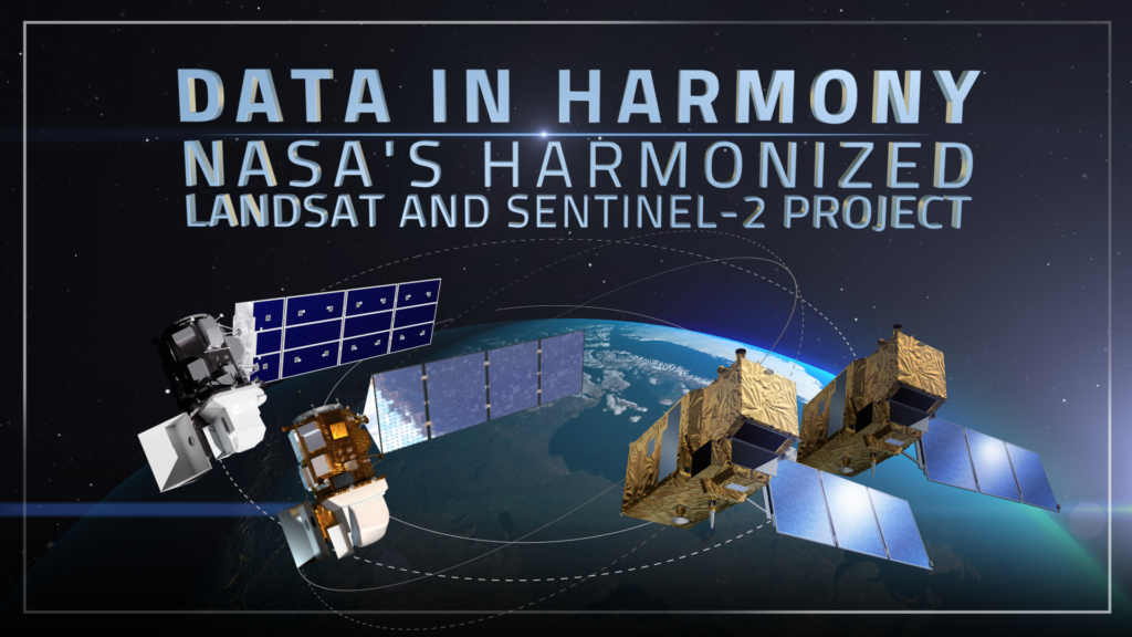
The land-cover map was created using imagery from the Landsat 5 satellite, which orbits Earth at an altitude of 438 miles. The dataset is in digital form and is ready to be used in Geographic Information Systems software. The digital nature of the data means that it can easily be combined with other types of spatial data from other disciplines. As a result, the land-cover data will form an integral part of scientific research conducted as part of the grant and beyond. Because of the data’s value to Kansas, additional funding for the project was provided by the State of Kansas GIS Policy Board.
The new map utilizes the same processes and types of data as the 1990 Kansas Land Cover Patterns map. By using the same procedures, the two digital maps are directly comparable. By using the same methodology for both maps, scientists can visualize how the land cover of Kansas has changed over the last 15 years. Understanding previous change provides the framework for predicting changes in the future.
Understanding land-cover change is important for several reasons that impact Kansas. Multiple research groups from KU and Kansas State University will use the land-cover map within their research. One question of interest to both KU and K-State scientists is the impact that rising grain prices will have on agricultural production and how increasing production might affect stream systems, underground aquifers and wildlife habitat.
For more information on the project or to view the data in Google Earth, visit the Kansas Land Cover Patterns project on the Kansas Applied Remote Sensing website [external link].


