In August 2006, the United Nations Environment Programme (UNEP), released an atlas entitled: “Africa’s Lakes: Atlas of Our Changing Environment.” The atlas relies heavily on Landsat imagery from the past 34 years to show changes in lakes around the African continent.
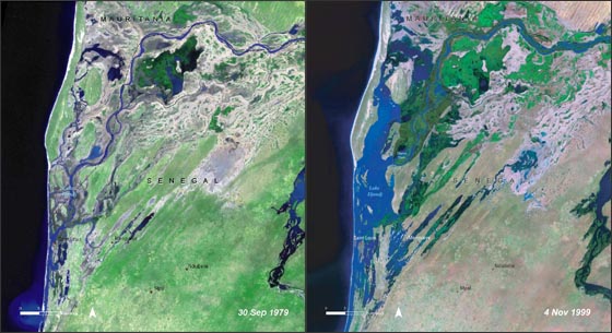
Above, are two Landsat images of the Djoudj Sanctuary in Senegal that are featured in the atlas. The atlas tell us:
“Situated in the Senegal river delta, the Djoudj Sanctuary is a wetland of 16 000 ha, comprising a large lake, referred to as Lake Djoudj in this publication, surrounded by streams, ponds and backwaters. These two images show the Djoudj Sanctuary before and after the construction of the Diama Dam.”
“The image from September 1979 shows the impact of drought on the Djoudj Sanctuary, while the image from November 1999 shows rejuvenation of the sanctuary wetlands due to the significant floods of that year. The two images vividly depict the impact of climate variability on the Djoudj Sanctuary—and demonstrate the broader need for close monitoring of the impacts of climate variability and climate change on lake environments.”
+ Read related news release

Landsat Insights: Wetland History in Your Hand
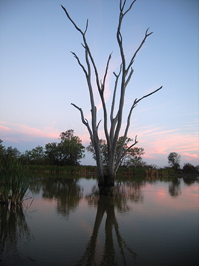
Practitioners managing the wellbeing of wetlands have a new tool at their disposal. The Wetland Insight Tool, developed by Geoscience Australia, provides a visual summary of 35+ years of wetland dynamics.


