
Mangroves—a vast network of intertidal trees and shrubs with their characteristic tangle of above ground roots—give safety, sustenance, and spectacle to coastal denizens in a multitude of ways. Namely, by stabilizing shorelines, safeguarding water quality, influencing stable microclimates, controlling flooding, and providing transportation, forest products, hunting and fishing grounds, and recreation and protecting people and property from storms.
Three of four published studies have found that South Asian mangroves saved both lives and property during the devastating 2004 Indian Ocean tsunami.
But the mangrove forests are pressured by natural and manmade factors. Mangrove deforestation often occurs as land is converted to other uses like shrimp farms, industrial developments, and urban settlements; while over-harvesting of forest resources, pollution, increased salinity, erosion, ground subsidence, diminished silt deposits, and storm damage interact and overlap in complex ways to mangrove health.
In a recent study Chandra Giri and colleagues used Landsat satellite data to map South Asia’s mangrove forests and to calculate how they forests have changed over the dozen years spanning between 2000–2012 because the region’s mangroves status and dynamics are not well understood.
“Landsat is an appropriate scale to map and monitor mangroves in large areas such as South Asia because of mangrove patch size and configuration,” Giri explains. “Additionally, free data availability and global coverage provides an opportunity to acquire and use cloud free images.”
While many local studies had been conducted, no large-scale, holistic look of South Asia’s mangrove forests had been conducted prior to Giri’s work. Such work is important for the development of a regional action plan and to be forewarned about how the mangroves will respond to climate change impacts.
And, on the climate change front, recent findings suggest that these mangroves are some of the tropics’ most carbon-rich forests thanks in large part to their boggy, organic-rich soils).
Giri and his team found that South Asia was home to seven percent of the world’s mangrove forests—1,187,476 hectares (2.93 million acres). From 2000 to 2012, 11,673 hectares (28.8 thousand acres) of mangrove forest were lost. But the story is much more nuanced than that—during that time period over 92,000 hectares of forest were lost, and conversely over 80,000 hectares were reforested.
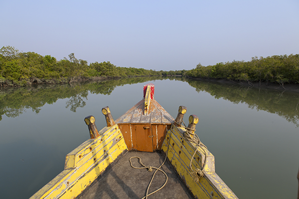
To examine these trends more closely, the research team looked at three regional case studies: the Indus Delta in Pakistan, Goa in India, and on the India/Bangladesh border, the Sundarbans—the world’s largest contiguous mangrove forest.
The database that this research produced will be freely available for anyone interested in mangrove monitoring, management, or conservation.
Giri says, “the International Scientific working group on blue carbon, where I serve as a working member, is interested to perform regular monitoring.”
Freely available Landsat imagery and the cloud-computing capabilities of Google’s Earth Engine made Giri’s research possible.
Science brief by Laura E.P. Rocchio
Reference:
+ Landsat Enables World’s Most Comprehensive Mangrove Assessment
+ Evaluating Mangroves After the 2004 Indian Ocean Tsunami
+ Landsat Helps NASA Researcher Map Endangered African Mangroves
+ A Landsat Survey of Mangroves in Tsunami Prone Regions
+ Root of the Matter: A New Map Shows Decline of Life-Saving Forests

Scenes from the Polar Night
Landsat satellites have begun regularly acquiring images of ice at the poles during the winter, with enlightening results.


