Landsat Next Defined

Landsat Next Defined

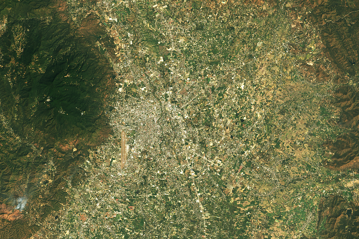
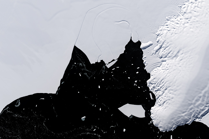
Landsat Next is on the horizon—the new mission will not only ensure continuity of the longest space-based record of Earth’s land surface, it will fundamentally transform the breadth and depth of actionable information freely available to end users. Take a look at the new capabilities that will define the next Landsat mission.

Read More »
Landsat Next Defined

Landsat Next Defined

Landsat Next is on the horizon—the new mission will not only ensure continuity of the longest space-based record of Earth’s land surface, it will fundamentally transform the breadth and depth of actionable information freely available to end users. Take a look at the new capabilities that will define the next Landsat mission.

Read More »

“The USGS Landsat Surface Reflectance products have revolutionized human-scale biophysical studies that require consistent and atmospherically corrected products.”


“We have so many options with Landsat Next, to add additional information and context to support our wetland managers as well as continuing the historical record of change and variability of our wetlands.”


“Landsat data are essential for monitoring long-term changes of Earth’s ecosystems.”


“With Landsat we can see temperature of individual fields and how it varies from field-to-field. The temperature of the land surface gives us a good indication of how rapidly water is evaporating off that surface. And this is really important for knowing how healthy the crops are and also for supplying information for irrigators: how much water was used last week and how much do they need to replenish in the current week to keep the crops healthy.”


“Landsat is really important because it gives us that time component. We can go back in time and see what an area let’s say a coastal zone or a mangrove forest has been like over time.”


“Timelapse in Google Earth is possible because of the commitment to open and accessible data through NASA and the United States Geological Survey’s Landsat program (the world’s first and longest-running civilian Earth observation program) and the European Union’s Copernicus program with its Sentinel satellites.”


“By unleashing the power of our vast and open data resources, the Climate Data Initiative helps spark private sector innovation and will leverage resources for those on the front lines who are dealing with climate change. We are pooling into one place data from across the federal government to make it more accessible to the public and we hope our efforts will inspire other countries to follow suit.”


“We are very excited to employ integrated Landsat and Sentinel-2 data. The combined observations provide an unprecedented capability and, we expect, an unprecedented record of global land change.”


“The USGS’ incredible gift of open-source [Landsat] imagery and this kind of tool are truly advancing what non-scientists can expect when it comes to views of their planet. Never before have regular people had such ready access to geographic data at this depth and quality.”


“The issue of forest disturbance could not have been addressed without our analysis of Landsat Time-series Stacks”


“Landsat is an invaluable tool for people working in our field of community wildfire safety.”


“The USGS Landsat Surface Reflectance products have revolutionized human-scale biophysical studies that require consistent and atmospherically corrected products.”


“The Landsat archive and other remote sensing systems provide the means to map and measure disturbance rates of the last 40 years.”


“The value of the Landsat archive is that we have a long-term memory of the changes that have occurred across the Amazon frontier.”


“The Landsat collection 1 datasets represent a milestone in remote sensing science, with comparatively stable radiometric calibration and atmospheric correction.”


“The water resources communities all through the United States, especially in the irrigated areas, are very appreciative that NASA put the thermal imager on Landsat 8 and that future Landsats are guaranteed to include a thermal imager.”


“Landsat is, on its own merits, an extremely important capability for our country. It becomes all the more important when we overlay on top of that, the challenges of climate change and the fact that we are driving our climate to a place that we haven’t seen before, scientifically.”


“LANDFIRE is the only complete, nationally consistent collection of spatial resource datasets with an ecological foundation.”


“The Landsat data record is absolutely invaluable—wetland managers can start to understand if changes they are seeing take place over months, years or decades.”


“Landsat is providing better [surface] water data—not just at the state level or nationally, but globally”


“When you have Landsat you can actually show people how we are changing the face of the planet.”


“There is no more powerful tool for tracking land change through time than the Landsat series of satellites.”


“Moving out on Landsat 9 is a high priority for NASA and USGS as part of a sustainable land imaging program that will serve the nation into the future as the current Landsat program has done for decades.”


“The water resources communities all through the United States, especially in the irrigated areas, are very appreciative that NASA put the thermal imager on Landsat 8 and that future Landsats are guaranteed to include a thermal imager.”


Landsat 9 bw
Landsat 9 bw
Landsat 9 bw

The NASA/USGS Landsat Program provides the longest continuous space-based record of Earth’s land in existence. Landsat data give us information essential for making informed decisions about Earth’s resources and environment.