Landsat Next Defined

Landsat Next Defined

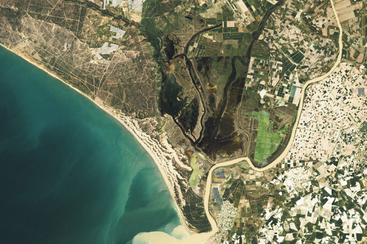
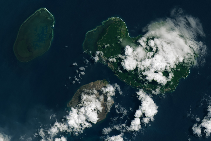
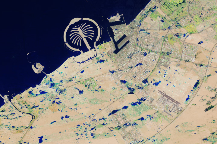
Landsat Next is on the horizon—the new mission will not only ensure continuity of the longest space-based record of Earth’s land surface, it will fundamentally transform the breadth and depth of actionable information freely available to end users. Take a look at the new capabilities that will define the next Landsat mission.

Read More »
Landsat Next Defined

Landsat Next Defined

Landsat Next is on the horizon—the new mission will not only ensure continuity of the longest space-based record of Earth’s land surface, it will fundamentally transform the breadth and depth of actionable information freely available to end users. Take a look at the new capabilities that will define the next Landsat mission.

Read More »

“Because Landsat’s been operating for so long—thermal imaging has been enabled since the 1980s—we can study how patterns in water use have changed over the landscape over long periods of time as the climate has changed and as land use patterns have changed. So Landsat has been really a critical sensor for our work.”


“We have brought it from the brink of death and back to life so many times over the last seven years. It’s just amazing what our flight operations team and our engineers are able to do with that spacecraft. It’s the oldest spacecraft of its type still functioning. We’ve certainly gotten our money’s worth out of it.”


“With these new [Landsat] data, we can begin to unravel the mechanisms by which the ice flow is speeding up or slowing down in response to changing environmental conditions.”


“With Landsat we can see temperature of individual fields and how it varies from field-to-field. The temperature of the land surface gives us a good indication of how rapidly water is evaporating off that surface. And this is really important for knowing how healthy the crops are and also for supplying information for irrigators: how much water was used last week and how much do they need to replenish in the current week to keep the crops healthy.”


“Landsat optically observes Earth’s surface through measurement of reflectivity and temperature in polar ice and oceans, as well as across the Earth, and these are two key geophysical parameters for measuring and modeling surface energy balance.”


“Having water consumption maps produced quickly on Smartphones has been everyone’s dream. In two years time we hope to see all farmers watching their fields from their phones and scheduling irrigations. EEEFlux is making Landsat the evapotranspiration satellite.”


“To make accurate machine learning models of major crops, we needed decades of satellite imagery from the entire globe. Thanks to Google Earth Engine hosting the entire Landsat archive publicly on Google Cloud, we can focus on algorithms instead of worrying about collecting petabytes of data. Earth observation will continue to improve with every new satellite launch and so will our ability to forecast global food supply.”


“Satellite data is revolutionizing the way we map the world and the way we understand the natural and anthropogenic processes acting on Earth.”


“Landsat data are a key climate data source. That’s true for vegetation, for the carbon cycle, and it’s true for the cryosphere.”


“Timelapse in Google Earth is possible because of the commitment to open and accessible data through NASA and the United States Geological Survey’s Landsat program (the world’s first and longest-running civilian Earth observation program) and the European Union’s Copernicus program with its Sentinel satellites.”


“The key role of Landsat in the context of climate change is to document the impact of climate change on global ecosystems, which is highly relevant for the future availability of food, water, and fiber resources, as well as the provision of ecosystem services including biodiversity.”


“The rich history of Landsat (40+ years) enables not only change detection and trend analysis, but also provides a unique oppurtunity for hydrologic model calibration and validation as shown in this application.”


“Without the free and open Landsat data policy, a lot of commercial applications wouldn’t be feasible and a lot of commercial companies—including GDA—would be very different than they are.”


“The Landsat satellite series has proven to be a perfect match to the needs of modern irrigated agriculture and water resources management.”


“From a valuation standpoint, Landsat is an extremely valuable public good just in its direct use—let alone the economic value of all the indirect uses built on the direct data.”


“@USGSLandsat @NASA_Landsat wrote the book on open data, how to do it right, how it creates businesses and benefits economy, and — of course — gifts the world with a 4+ decade *scientific* record of our planet’s changing dynamics.”


“You can see the changes of your orchard over time & over space, and by measuring the canopy temperature [with Landsat] you can see whether the canopy is in balance with the rest of the environment around the trees.”


“Another landmark program within USGS is called Landsat… USGS made a decision…to be able to open up that data, make it free, and the scientific discoveries, the articles, the access, the utility of that data just went absolutely through the roof. So it’s been a really wonderful story about how opening up scientific data allows more discovery, gets people more excited… We really do try to put our data out there in a way that it is usable by the most amount of people as possible.”


“Within Australia, Earth Observation is so commonly used across all levels of government, industry and society that the minimum economic impact of Earth Observation from space-borne sensors alone is approximately $5.3 billion each year [Australian $; ~4.15B US$].”


“If it weren’t for Landsat, we wouldn’t be where we are in terms of understanding our Earth.”


Landsat satellite imagery is ideal for gauging vegetation cover shifts because it supplies spectral data for surface areas of about 90 square meters – fine enough to track changing spectral signal patterns across large study areas.


“We have recognized for the first time that we’re not just going to do one more, then stop, but that Landsat is actually a long-term monitoring activity, like the weather satellites, that should go on in perpetuity.”


“Landsat provides a global view of the the worlds alpine glaciers and enables us to track their retreat in ways that would be difficult without this important environmental time series.”


“Landsat has given us a critical perspective on our planet over the long term and will continue to help us understand the big picture of Earth and its changes from space. With this view we are better prepared to take action on the ground and be better stewards of our home.”


Landsat 9 bw
Landsat 9 bw
Landsat 9 bw

The NASA/USGS Landsat Program provides the longest continuous space-based record of Earth’s land in existence. Landsat data give us information essential for making informed decisions about Earth’s resources and environment.