Pinpointing Tropical Forests with High Ecological ‘Quality’
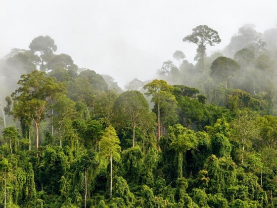
Landsat and ICESat-2 satellite data have made it possible for scientists to develop maps showing the “quality” of tropical forests.

Landsat and ICESat-2 satellite data have made it possible for scientists to develop maps showing the “quality” of tropical forests.
