Landsat & Drones Used to Reconstruct Past Environmental Change
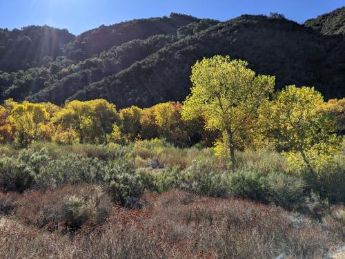
Vegetation cover along the Kuiseb River in the Namib Desert has increased over the last 35 years, Landsat has helped show.

Vegetation cover along the Kuiseb River in the Namib Desert has increased over the last 35 years, Landsat has helped show.
Using Landsat to keep an eye on the trees offers an effective way to monitor groundwater along river corridors in the Southwest.
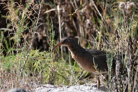
By Morgan Spehar, NASA’s Goddard Space Flight Center The Yuma Ridgway’s rail, a chicken-sized bird that looks like a cross between a duck and a crane,
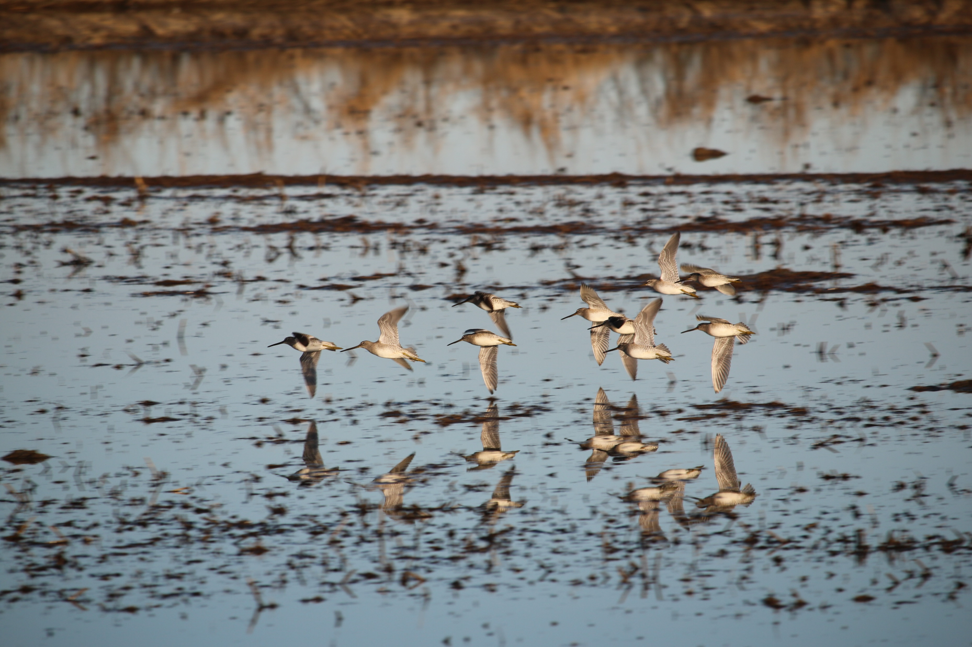
Earth observations and citizen science are informing a program called BirdReturns to help restore lost natural wetlands.
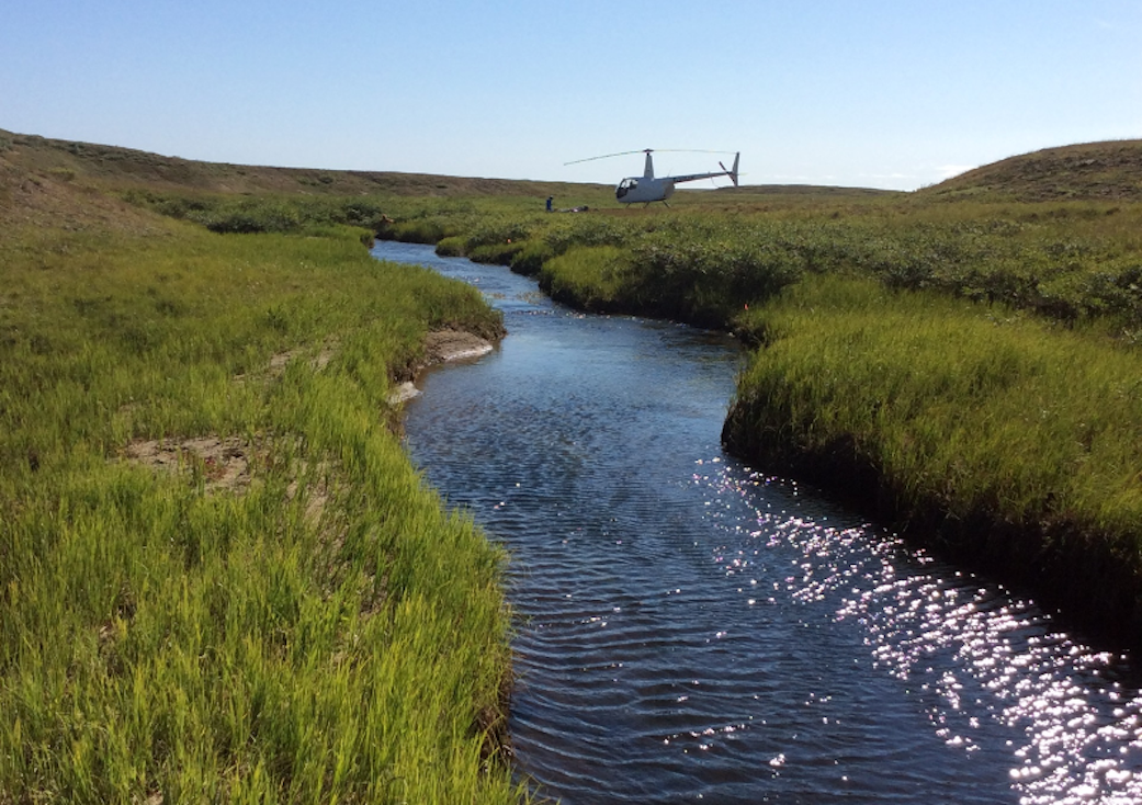
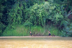
Scientists are combining data from water samples containing fish DNA with satellite data to find native fish and identify their habitats.
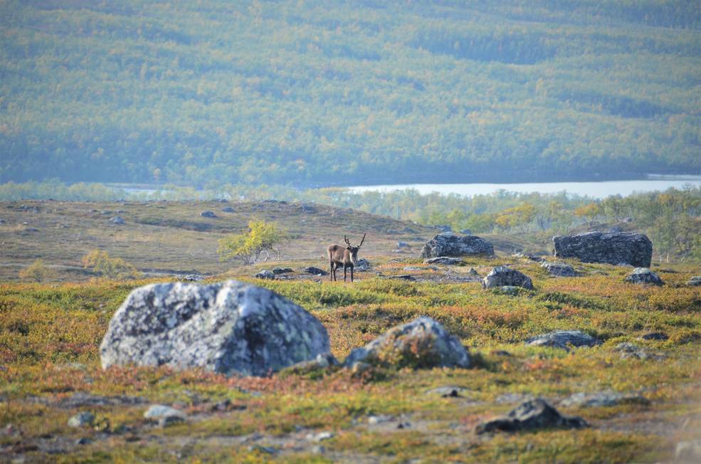
Using satellite images to track global tundra ecosystems over decades, a new study found the region has become greener, as warmer air and soil temperatures lead to increased plant growth.
A new study reports a net increase of 5.38 petagrams of forest biomass between 1984 and 2016; carbon-wise, that is equivalent to a train of loaded coal cars long enough to wrap itself around Earth nearly 34 times.
Satellite images are helping to reveal how COVID-19 lockdown measures are impacting food security, urban surface heat, water quality and aquatic ecosystems, and more in NASA-funded studies.
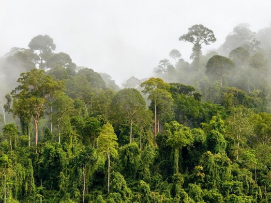
Landsat and ICESat-2 satellite data have made it possible for scientists to develop maps showing the “quality” of tropical forests.
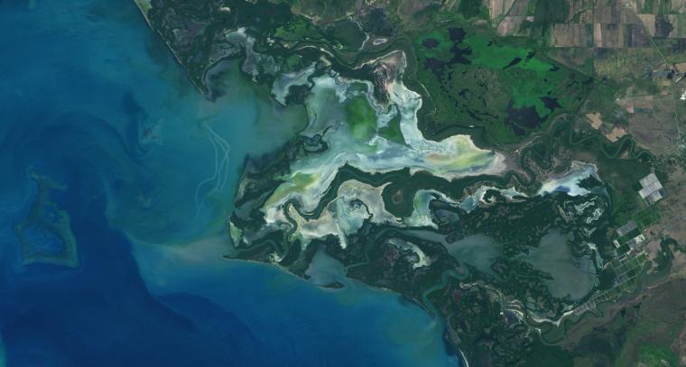
Using Landsat, researchers have created the first map of the causes of change in global mangrove habitats between 2000 and 2016—a valuable tool to aid conservation efforts for these vital coastline defenders.
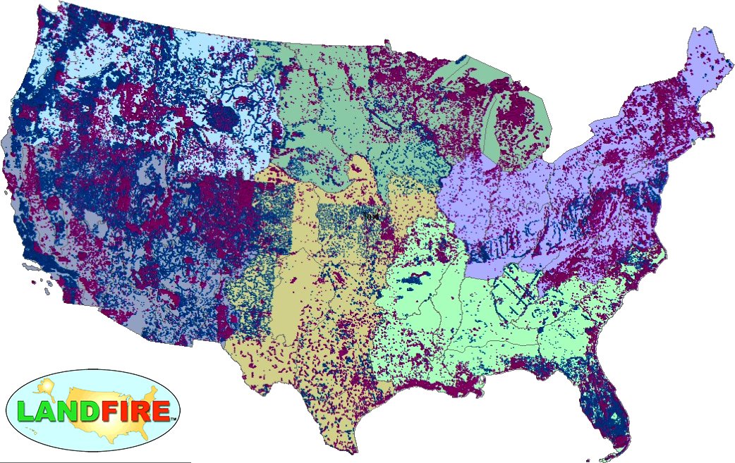
LANDFIRE has released its Remap dataset; new techniques and new data provide significant improvement.

Goldberg will launch Cloud to Classroom, an innovative project that uses satellite imagery to help K-12 classrooms understand global environmental change through remote sensing.
A team of Boise State researchers is helping forecast tropical forest recovery from deforestation using Landsat satellite data.
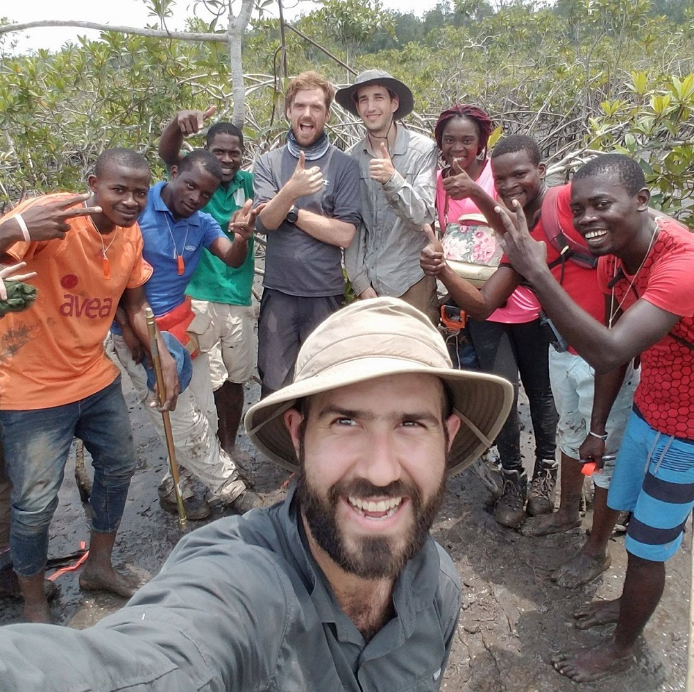
Coastal ecosystems are some of Earth’s most biologically diverse environments, especially coastal mangrove forests. Dr. Lagomasino uses Earth observing data to study these vital biomes.
NASA has funded four projects to create new, virtual portals to share a wealth of biodiversity information with land stewards around the world.
Dr. Eric Bullock uses Earth observation data to explore the consequences of land use and land cover change in high biodiversity areas.
Invasive species cost the U.S. economy approximately $120 billion a year and disrupt the dynamics of ecosystems. Researchers are increasingly using remote sensing to map where invasive species are and where they could spread in order to minimize their damage.
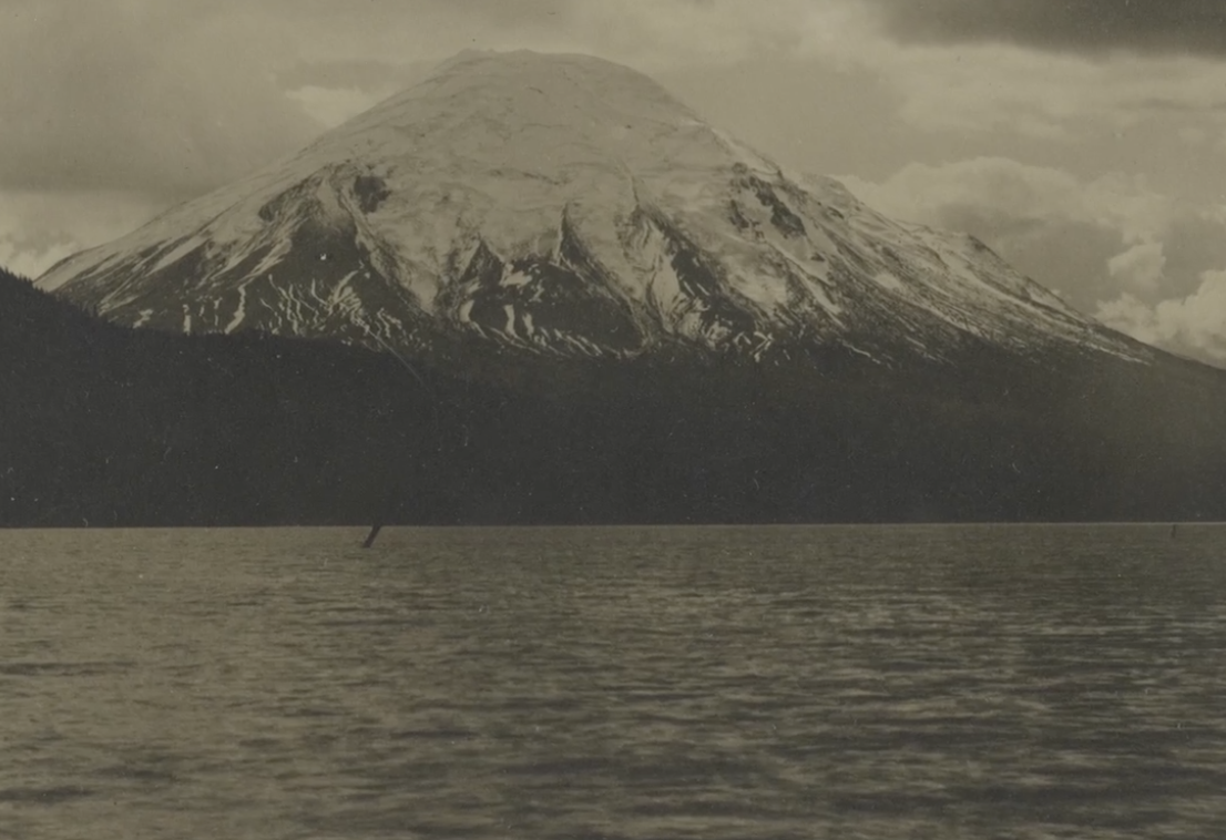
Landsat data (since 1972) is helping scientists Sean Healey and Zhiqiang Yang of the Rocky Mountain Research Station (U.S. Forest Service) study the long-term impact of the May 18, 1980, eruption of Mount St. Helens.
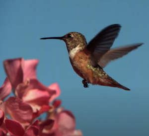
This bird’s-eye view of the relationship between temperature and bird biodiversity will help conservationists figure out where to prioritize their efforts in a warming world.
Researchers and conservationists around the world are using data and images from NASA satellite instruments to manage and track living creatures of all kinds.
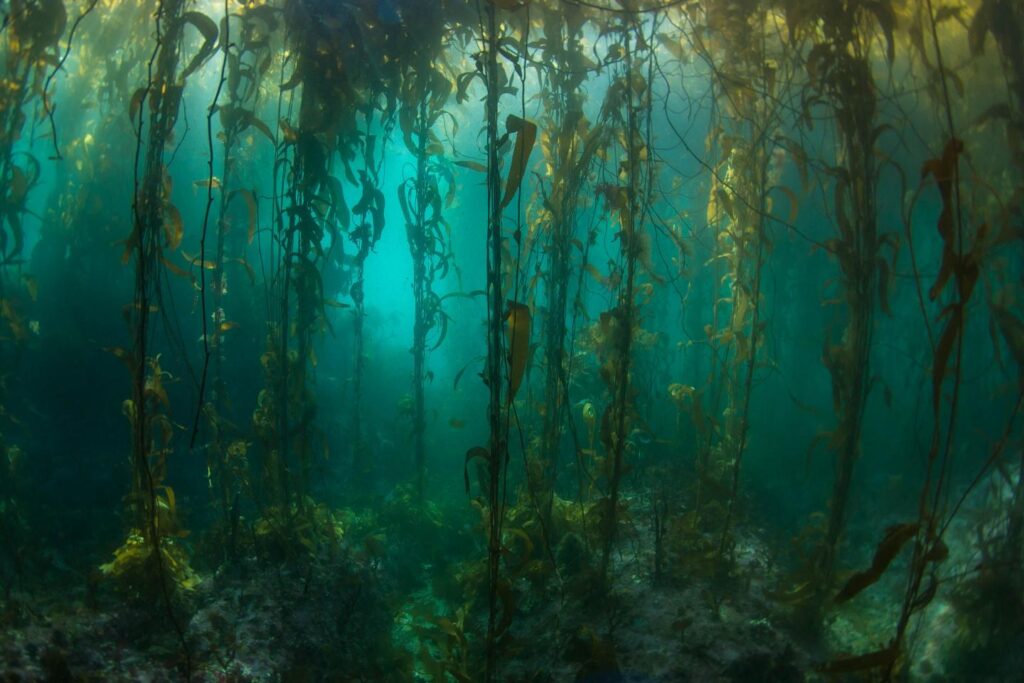
Kelp forest cover near Tierra del Fuego appeared to follow approximately four-year cycles that mirror sea surface temperature and El Niño-Southern Oscillation rainfall patterns.
How the fields of epidemiology and remote sensing intersect to help the public.

Landsat imagery shows that bull kelp canopy area can vary dramatically from year to year, and that long-term population trends vary from reef to reef.
Intertidal wetlands significantly contribute to China’s environmental and ecological diversity, but are facing unprecedented pressures from anthropogenic development, as well as the threat of future sea level rise.
Researchers used Landsat satellites to track changes in surface water temperature for the Sekong, Sesan and Srepok rivers. Within one year of the opening of a major dam, downstream river temperatures during the dry season dropped by up to 3.6ºF.
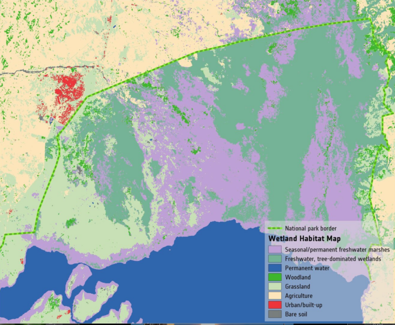
Wetlands worldwide are vanishing at an alarming rate. New satellite-informed maps produced by ESA’s GlobWetland Africa project show how satellite observations can be used for the effective use and management of wetlands in Africa.
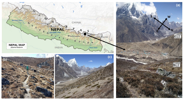
Plant life is expanding in the area around Mount Everest, and across the Himalayan region, new research shows.
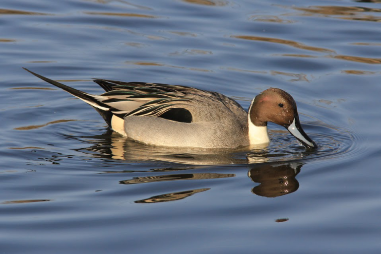
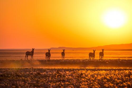
Ecologists are using Landsat to locate waterbird habitat that may be vulnerable in dry years.

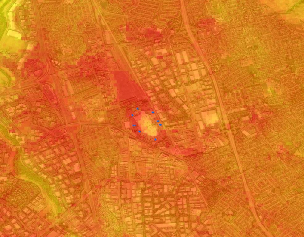
Landsat-based urban extent and phenology indicators provide new information about urban environments.
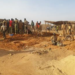
Landsat helps monitor changes in artisanal gold mining areas, enabling land managers to prevent and remedy environmental impacts.
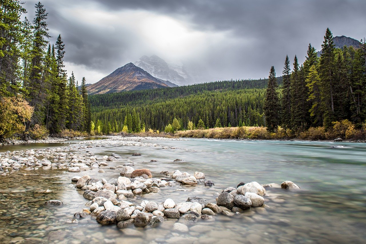
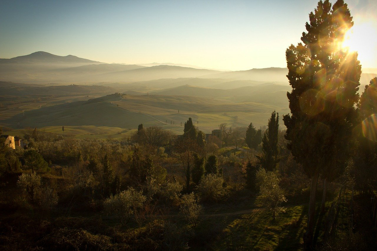
There is a dance between the vegetation that thrives along a river’s edge and the availability of water; with Landsat, that relationship is now being understood in ways not previously possible.
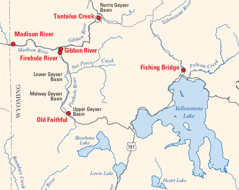
Landsat is among the resources that scientists are using to assess hazards and track volcanic activity in Yellowstone.
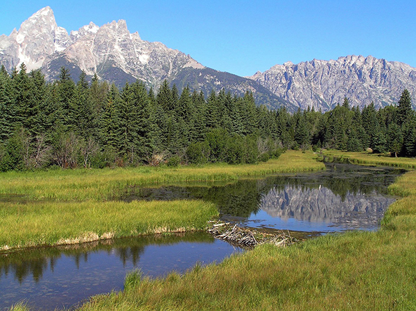
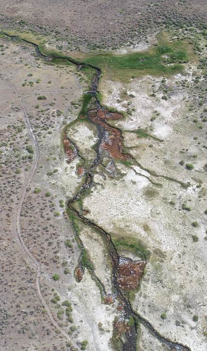
Landsat helped confirm and quantify what was only anecdotally known before: beaver dams make wetlands uniquely resistant to wildfires.
