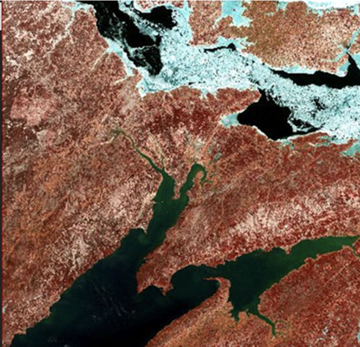
High-Resolution Data Products Help Illuminate Urbanization’s Reach
Two new Landsat-based data products and a mapping tool provide data on man-made impervious surfaces and urban extents throughout the world.

Two new Landsat-based data products and a mapping tool provide data on man-made impervious surfaces and urban extents throughout the world.
Evolving technology, free data and robust calibration have helped make Landsat the cornerstone of global land imaging.
The USGS has developed research-quality, applications-ready, Landsat Level-3 Science Products that are now available for download from EarthExplorer.
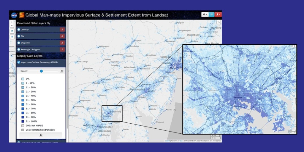
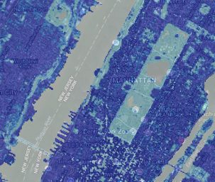
Webinar described the production of the Global Man-made Impervious Surface dataset and its companion urban extent dataset called Human Built-up And Settlement Extent.
A five-year, $6.25 million dollar grant to support nationwide remote sensing education, outreach, and research has been granted to AmericaView.
Landsat is a gold standard for calibration that adds value and reliability to other satellite systems.
The USGS Landsat archive has reached eight million scenes.
Landsat sensor technology has come a long way since the days of the Return Beam Vidicon cameras on the first three Landsat satellites.
An international group is working together to find the best atmospheric correction techniques for Landsat 8 and the Copernicus Sentinel-2 satellite series.
A new, highly accurate, automated way to detect clouds and their shadows from satellite images over unusually cloudy places.
Landsat 9 Project Scientist Jeff Masek discusses the ways Landsat data is used and how important it is to have high quality data.
Patrick Hostert from the University of Berlin discusses the value of Landsat’s long archive to studying phenology.
The 5 millionth scene received in support of the Landsat Global Archive Consolidation (LGAC) effort has been added into the USGS Landsat archive.
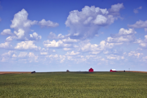
Scientists have proven a new technique for distinguishing the corn and soybean crops using satellite data and the processing power of supercomputers.
Engineers and scientists from both Landsat and Sentinel missions talk about working together to calibrate observation data and validate its quality to improve the science using these resources.
Warren Cohen from the USDA Forest Service talks about the value of Landsat’s long history of observations in monitoring and assessing forests.
Barbara Ryan, Director of GEO talks about the distribution of Landsat data.
Adam Lewis talks about the value of Landsat data, the importance of free and open policy, and how analysis ready data is advancing earth observing science.
Elmore delves into the changing phenology of forests and how that impacts the amount of carbon dioxide going into the atmosphere.
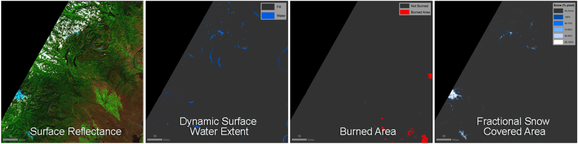
HLS offers a seamless data set of surface reflectance observations.

Uncharted, a cartographic art installation, was on display for the 2017 Pecora 20 in Sioux Falls, South Dakota.
Improvements to the quality and usability of Landsat satellite data have been made with the release of a new USGS product called Landsat Analysis Ready Data.
Montanaro and Gerace’s stray light “exorcism” has now placed the Landsat 8 thermal bands in-line with the accuracy of the previous (ghost-free) Landsat thermal instruments.
A fundamental goal for Landsat ARD is to significantly reduce the magnitude of data processing for application scientists.
A NASA study has located the Antarctic glaciers that accelerated the fastest between 2008 and 2014 and finds that the most likely cause of their speedup is an observed influx of warm water into the bay where they’re located.
When Landsat 8 and Sentinel-2 data are used together observations can be more timely and accurate.
As of today, there are now over 1 million Landsat 8 scenes available to download from the Landsat archive.

Using 28 years of Landsat data, an Australian research team has created a continent-wide intertidal zone extent map for the whole of the Australian coast.
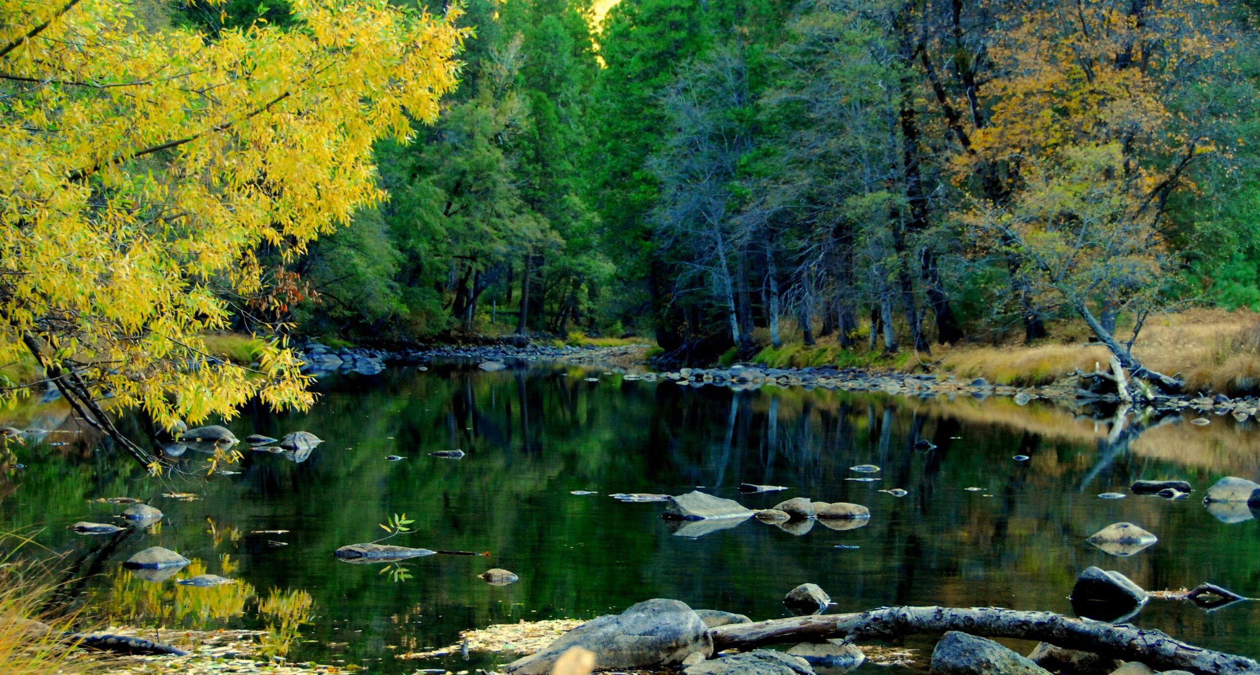
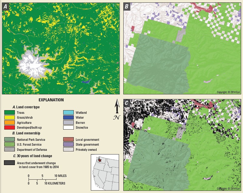
In the decades since the Mount St. Helens eruption, scientists have studied the recovery of the ecosystem around the mountain using the Landsat series of satellites.
A new initiative called Land Change Monitoring, Assessment, and Projection provides definitive, timely information on how, why, and where the planet is changing.
Rochester Institute of Technology researchers have won funding from the U.S. Geological Survey to ensure accurate temperature data from the Landsat 8 satellite. Climate researchers depend on public data from the Earth-sensing satellite to measure surface changes over time.
Access to consistent high-quality images to study changes on Earth’s surface is getting easier.
“This launch completes the Sentinel-2 constellation, providing a tremendous new resource for land management and science.”
