July 23, 2022 Designated Landsaturday
July 23, 2022, was designated as Landsaturday by the U.S. Senate in recognition of the 50th anniversary of the Landsat Program.

July 23, 2022, was designated as Landsaturday by the U.S. Senate in recognition of the 50th anniversary of the Landsat Program.

Virginia T. Norwood, known as the person who could solve impossible problems, played a crucial role in the development of the first space-based multispectral scanner instrument that flew on Landsat 1 and made the mission a success.
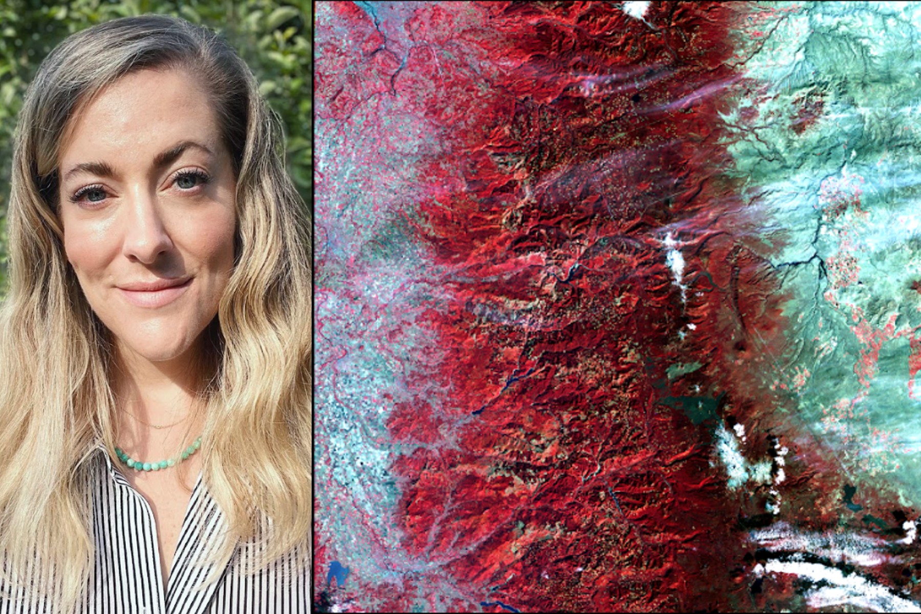
I use Landsat to explore wetland and aquatic ecosystem dynamics over time, studying how they may vary in a changing climate. Biotic and abiotic, everything on Earth has its own connection.
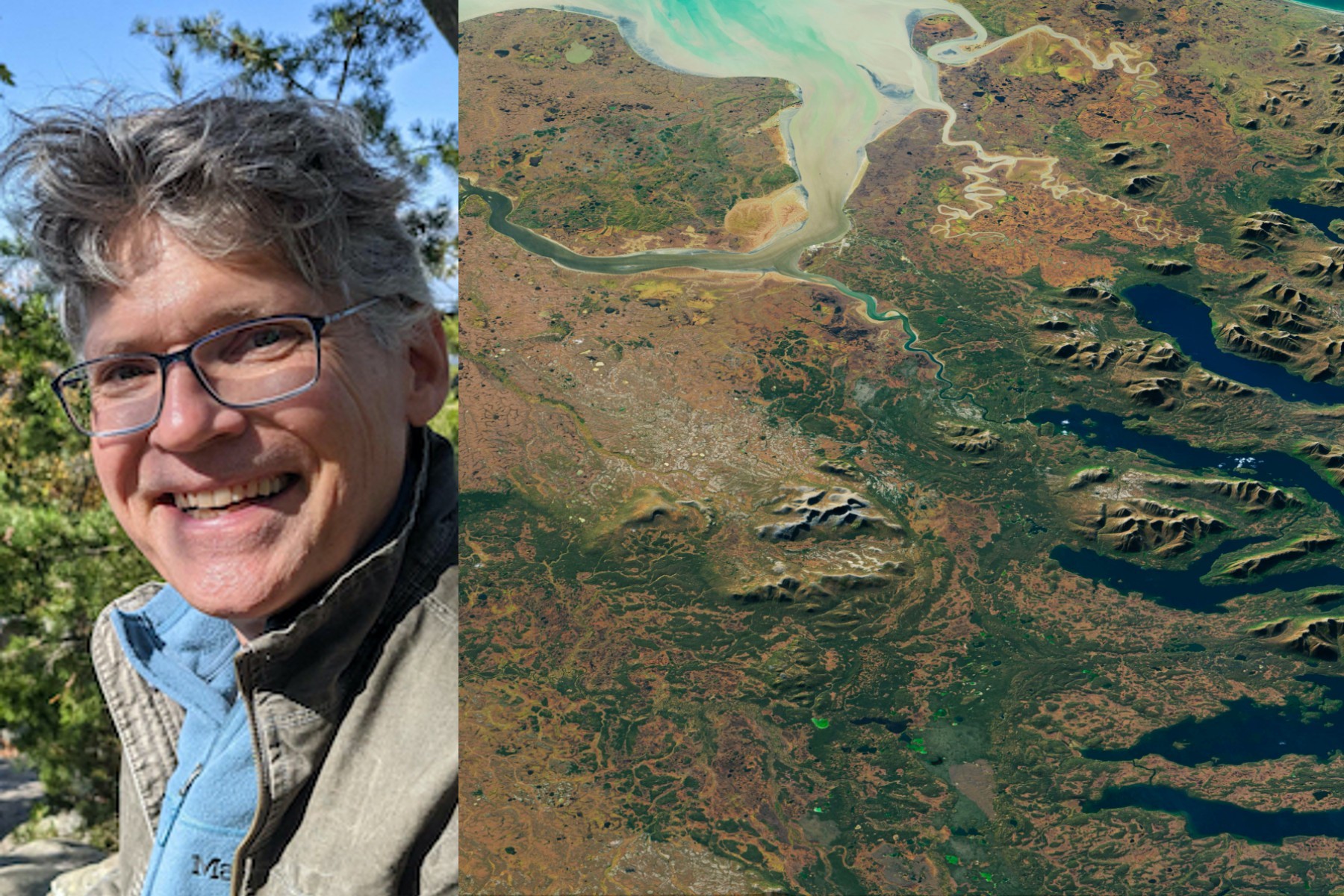
I use Landsat data as part of a joint U.S. Department of Agriculture/NASA effort to inventory all forest lands in interior Alaska.
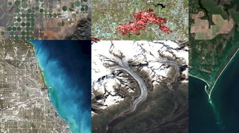
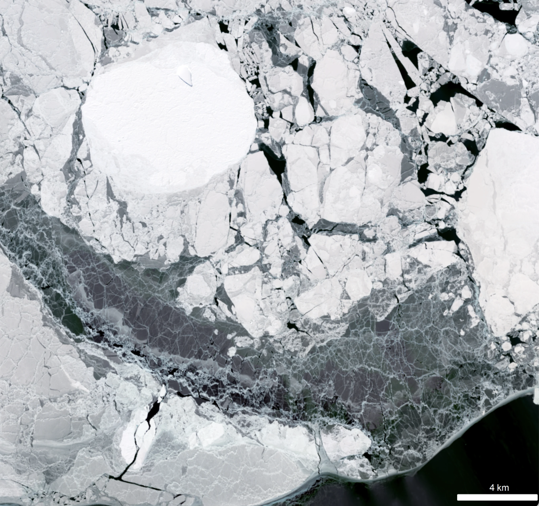
Since its debut, Landsat has amassed over 10 million images. These images, also called scenes, show current snapshots of land and coasts, but pair with images of years past and they also reveal changes through time – glaciers slowly disappearing, or urban spaces sprawling across the landscape.
I worked at Goddard Space Flight Center for 43 years. A great deal of my career was spent engaged in the Landsat program.
Landsat satellites have been reliably returning images of Earth’s land surface for fifty years, providing novel insights about the planet we call home.
Landsat has shown that wildfires and climbing temperatures have caused a 6.7 percent decline in California tree cover since 1985.
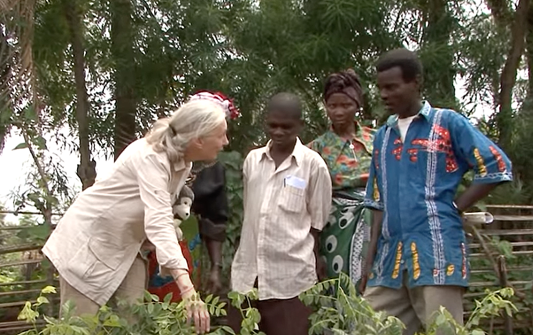
The Jane Goodall Institute (JGI) uses satellite observations, including data from the NASA and USGS Landsat satellite series, in their efforts to work in partnership with local residents to understand and protect chimpanzee habitats.
Landsat made a solid showing at the annual ALA conference (considered “the world’s biggest library event”) in Washington, D.C. this month.
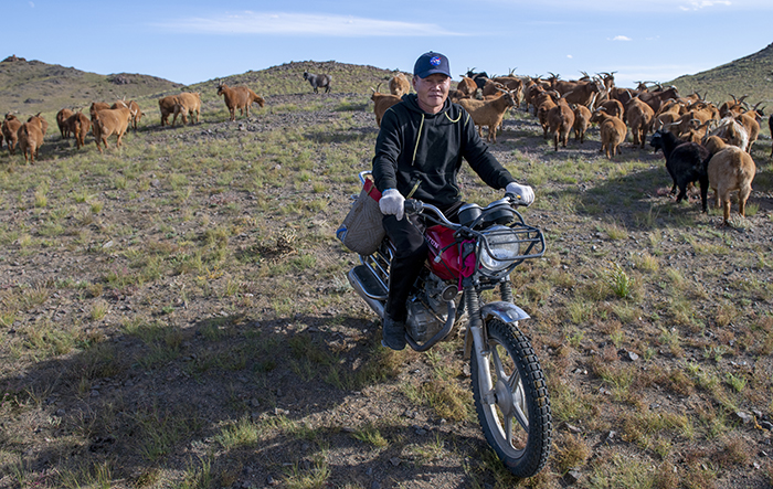
Landsat allows herders to monitor vast expanses of desert in a way traditional field monitoring can’t support.
This webinar provides an introduction to HLS data, services, and tools and shows you how to find resources to work with the data; visualize, search for, and access the data through NASA Worldview and Earthdata Search; it also demonstrates how to use the Fire Information for Resource Management System (FIRMS) tool to visualize HLS data to monitor fires and floods.
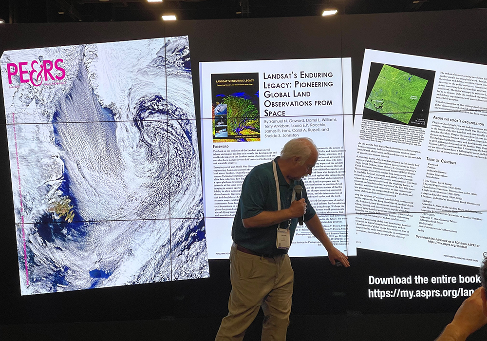
Communicating the technology and science of Landsat has always been a facet of the mission.
A new analysis found that between 34,000-38,000 could have been reduced with local increases in green vegetation in US metropolitan areas from 2000-2019.
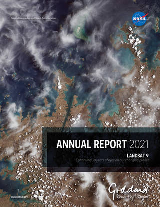
Landsat 9’s first light image was featured on the cover of the 2021 Goddard Annual Report.
Despite the rapid melting of ice in many parts of Antarctica during the second half of the 20th century, researchers have found that the floating ice shelves which skirt the eastern Antarctic Peninsula have undergone sustained advance over the past 20 years.
An analysis of over a million Landsat images has revealed that 4,000 square kilometres of tidal wetlands have been lost globally over twenty years.

In recognition of Earth Day, NASA is highlighting two interns advancing the well-being of our planet through their work with the Landsat team.

Get to know Emil Cherrington, a scientist and Landsat data user.
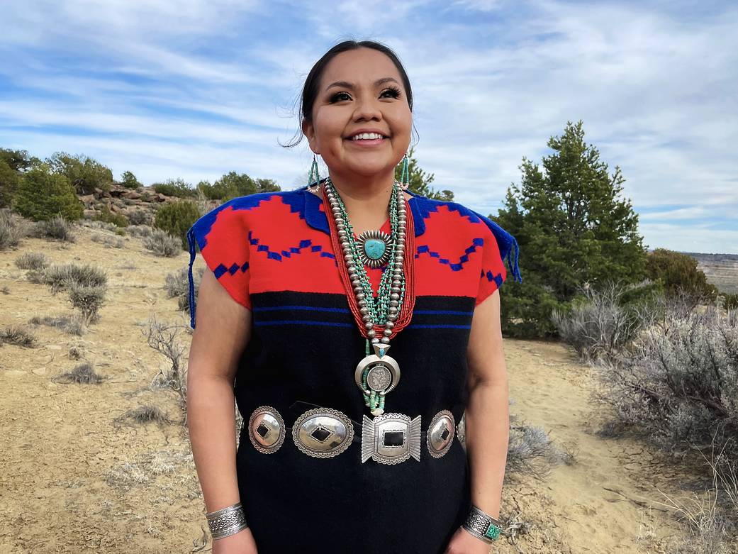
Get to know Nikki Tulley, an Assistant Research Scientist at NASA’s Ames Research Center and Landsat data user.
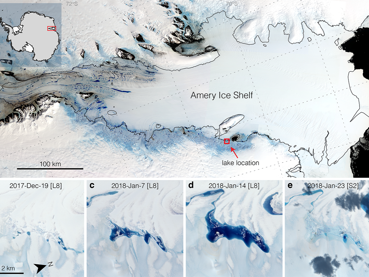
Satellites have helped show that strong tidal activity may facilitate water-induced fracturing, or hydrofracturing, where land ice transitions to floating ice shelf and cause the meltwater lake to drain quickly, often in as little as several days.
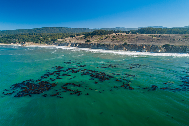
The Landsat-informed kelpwatch.org hosts the world’s largest open-source dynamic map of kelp forest canopy.
BBC’s Follow the Food documentary series has reported on Earth observations supporting food production, market stability and on-farm decisions.

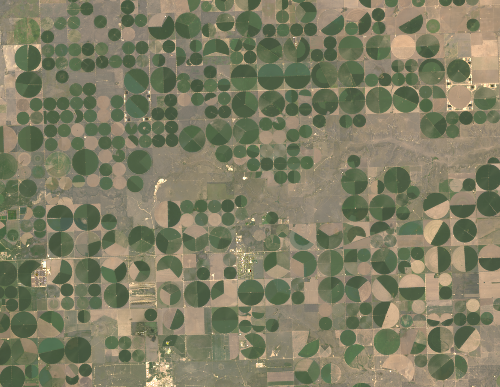
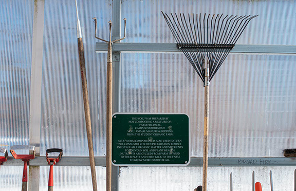
NASA is partnering with farmers to deliver new technology, new tools and new data to help producers make decisions at every level, from the farm field to the state to the nation to the world.
New Michigan State University research found that incorporating in-season water deficit information into remote sensing-based crop models significantly improves corn yield predictions.

Virginia Norwood was awarded the USGS John Wesley Powell Award for her contributions to USGS—most notably the long-running Landsat program.
Rooftop gardens and greenery can help ease some of the severe heat in cities, according to research from climate scientists at NASA’s Goddard Institute for Space Studies (GISS) in New York.
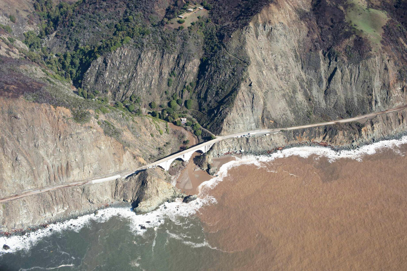
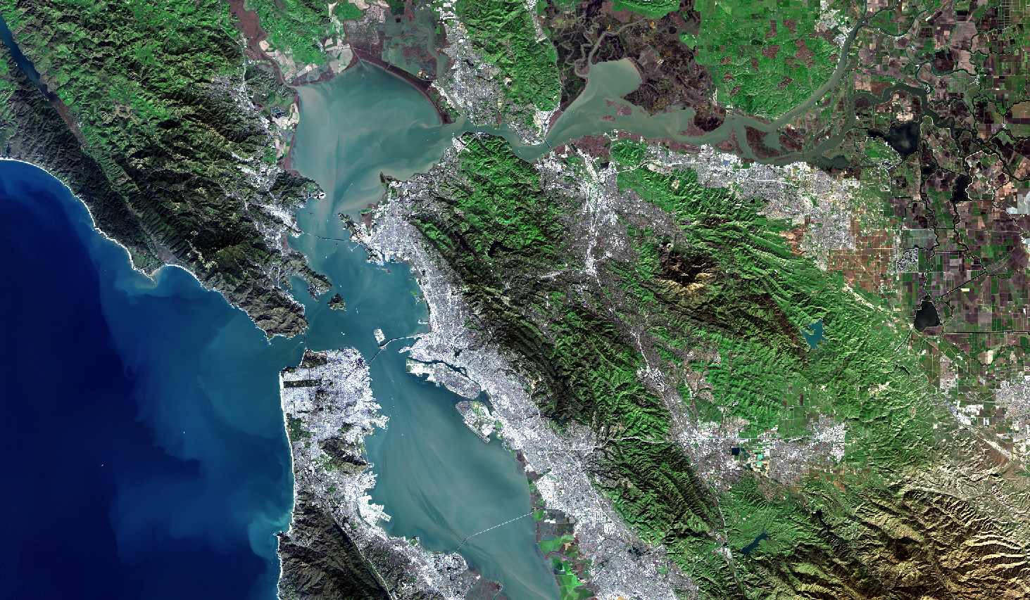
A new study combines decades of Landsat and Sentinel-2 imagery with hydrologic and oceanographic data to look at how changes on land affect coastlines in Big Sur, California.

Wu wants anyone to be able to derive meaningful information from geospatial data like Landsat.
The U.S. Geological Survey has made all Landsat 9 data available from its Landsat archive.
Landsat 9, a joint mission of NASA and the U.S. Geological Survey (USGS), passed its post-launch assessment review and is now in its operational phase.
From record-breaking heatwaves to pandemic-related events, the images in this list showcase some of the beautiful and complex events that occurred on our planet in the past year.
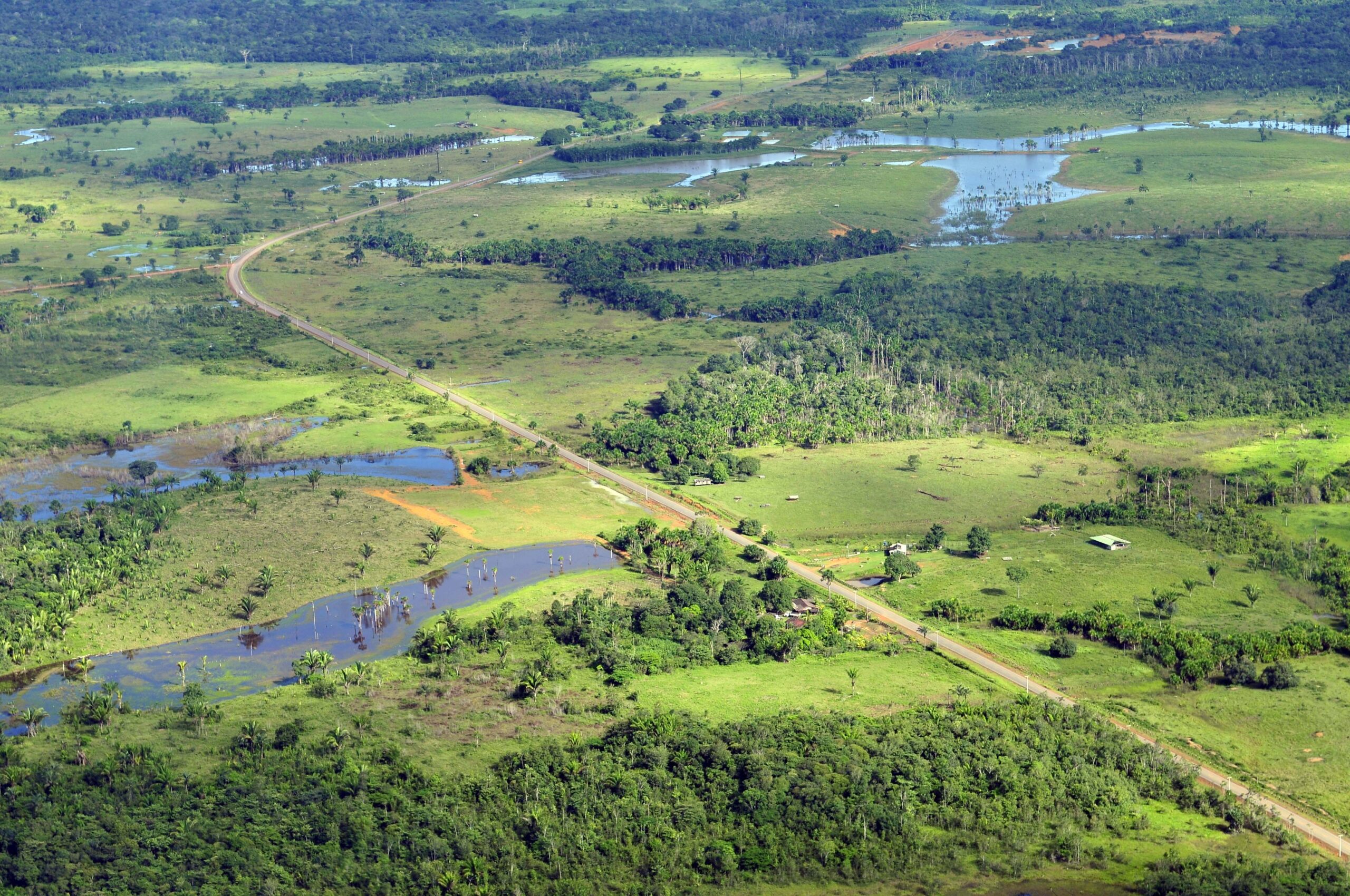
More than 100 countries at the UN Climate Change Conference this past year made the bold commitment to halt and reverse deforestation by 2030.
