In September 2014, Landsat 8 captured six clear images that were stitched into a mosaic of Kamchatka’s often cloudy east coast. Five volcanoes displayed plumes of steam, gas, or ash that day. From north to south, they are: Shiveluch, Bezymianny, Kizimen, Karymsky, and Zhupanovsky. The logistics of maintaining ground-based sensors in this rugged region make satellites a necessity for monitoring the volcanoes.
Further Reading:
+ “Volcanoes of Kamchatka,” NASA Earth Observatory
+ “Kamchatka: The Erupting Peninsula” on YouTube

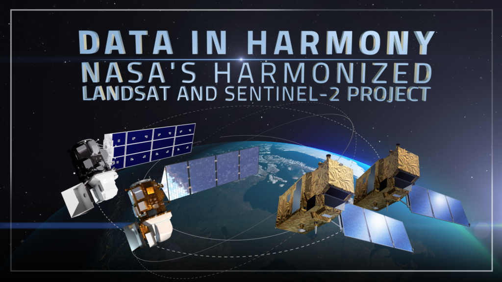
Data in Harmony: NASA’s Harmonized Landsat and Sentinel-2 Project
NASA’s Harmonized Landsat and Sentinel-2 (HLS) project is a groundbreaking initiative that combines data from Landsats 8 & 9 with the European Space Agency’s Sentinel-2A & 2B satellites.


