

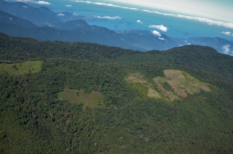
Destruction of Atlantic Rainforest Tied to Local Temperature Increases
Considered one of the world’s richest and most endangered forests, the Atlantic rainforest occupies 15% of Brazil’s landmass in an area that is home to 72% of the population.
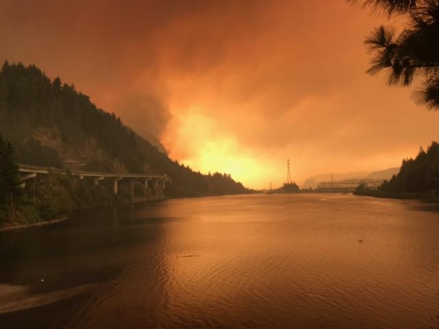
Fire & Water: How Wildfires Can Impact Drinking Water
Fires in forested watersheds that support drinking water supplies can introduce contaminants that overwhelm current treatment capabilities. Earth observation data are helping.
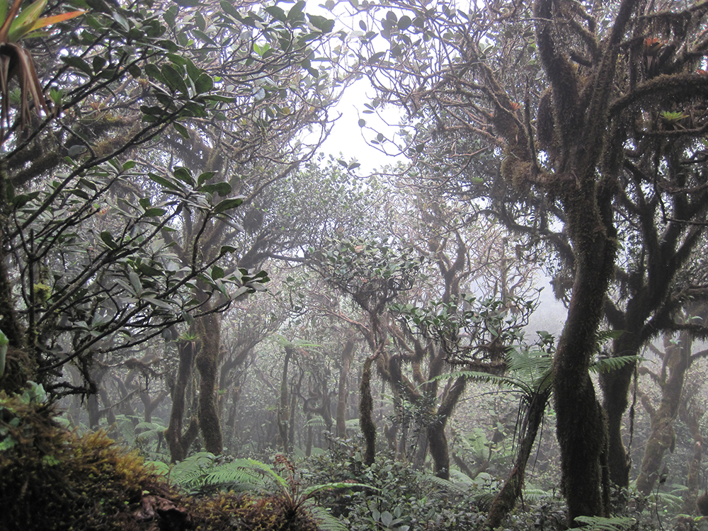
Neotropical Cloud Forests to Lose What Most Defines Them: Clouds
If greenhouse gas emissions continue increasing as they have been, 90% of Western Hemisphere cloud forests would be affected as early as 2060.
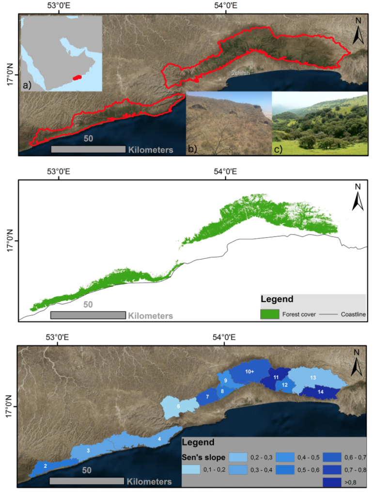
Getting to Know the Dhofar Cloud Forest
Learn more about this rather unusual seasonal and semi-arid cloud forest.
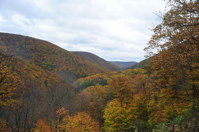
Monitoring Forest Health Amid Oil and Gas Extraction
Following changes in long-term forest health around oil and gas wells in the Pennsylvania State Forest.
Poster Featuring Landsat-based Research Wins 2018 NRCan Map Contest
Access to image data collected by the Landsat series of satellites has improved Canada’s ability to observe, track and study forest disturbances.
