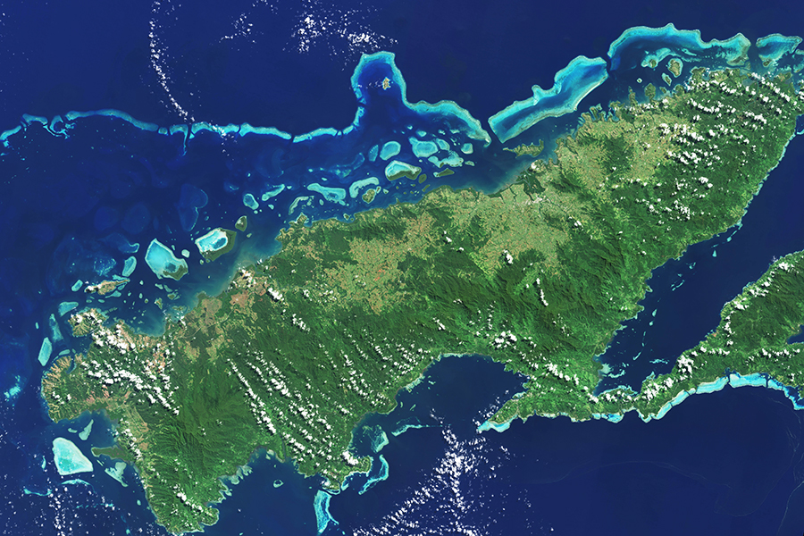
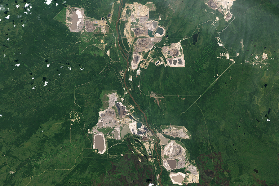
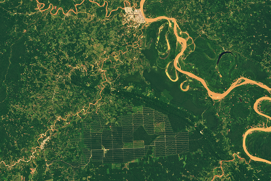
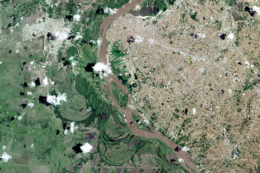
The global land surface covers approximately 150 million square kilometers—about 30 percent of the Earth’s surface—and humans occupy or otherwise use roughly 80 percent of the land surface including the 40 percent converted to agriculture. The global population reached 8 billion in 2022 and is projected to increase to nearly 10 billion by 2050. To feed and shelter the planet’s growing population, extensive and intensive land use has been required, but the environmental degradation caused by these requisite activities is diminishing the planet’s capacity to sustain needed food and fiber production and fresh water supply.
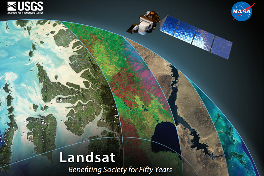
Land imaging from moderate-resolution Earth-observing satellites, such as Landsat, offer the critical and irreplaceable capability to observe land use and land cover change across global, national, and regional scales. Landsat’s space-based land imaging is essential because it provides repetitive and synoptic observations of the Earth otherwise unavailable to researchers and managers who work across wide geographical areas and applications. Landsat data informs good decisions and management in many disciplines. To learn more about the benefits of the Landsat Program, explore the topics below.
By amassing information about changes to Earth’s land surface for more than 50 years, the Landsat program has provided decision makers tasked with managing Earth’s natural resources with integral information about the food, forests, and water. These case studies highlight some of valuable and tangible benefits of Landsat.
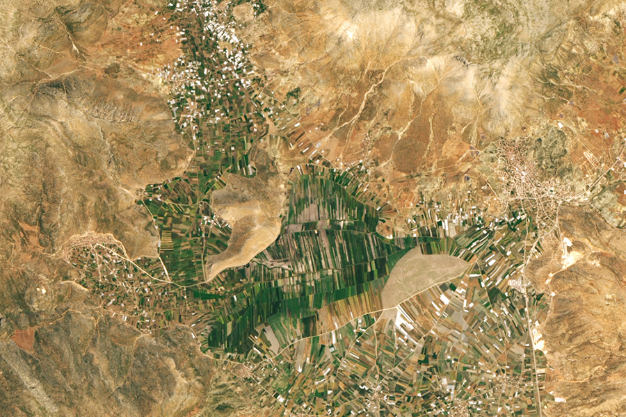
Worldwide, millions of people are helped by Landsat-data-based decisions that impact food and water management. Food and farming organizations rely on the unbiased, accurate and timely information provided by Landsat satellites. The data enable people to analyze the health and vigor of crops as they mature over the growing season.
Long-term weather patterns averaged over 30 years or more make up our climate. Earth’s climate is controlled by the amount of energy that flows through the atmosphere, oceans, and land. By adding heat-trapping gases to the atmosphere, humans are increasing the amount of energy in the Earth system that would otherwise escape to space.
Fire, floods, hurricanes, tornadoes, and other natural disasters can be particularly tragic and costly when critical facilities such as power plants, airports, roads, and hospitals are threatened. When a disaster strikes, remote sensing is often the only way to get a big-picture view of what is happening on the ground.
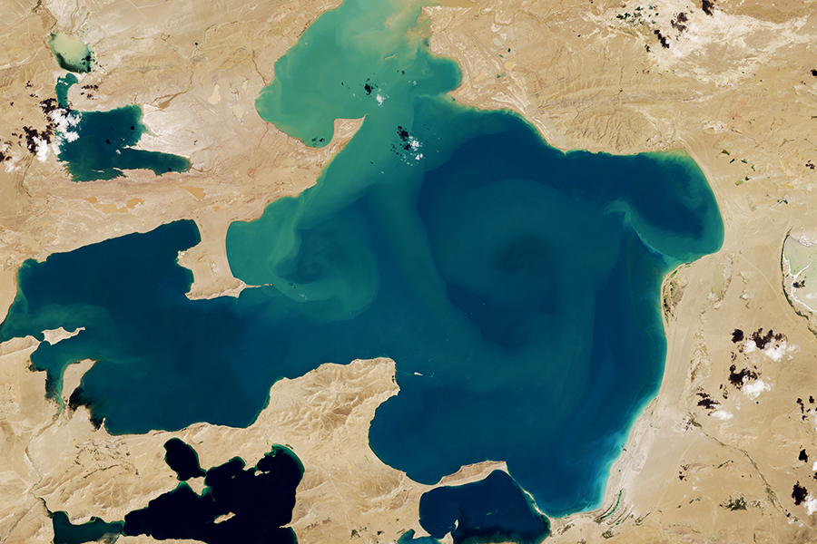
Our world is made of complex networks of living things and physical elements that constantly interact and affect each other. Such networks are known as “ecosystems.” Healthy and economically important ecosystems such as temperate forests, wetlands, grasslands, coastal zones, coral reefs, and rainforests all play roles in human life.
Economies around the world rely on forests for timber, carbon storage, flood control, biological diversity, recreation, and more. Forest managers face many challenges. In the last few years, forests have experienced widespread infestations by pests such as the pine bark beetle; and tropical deforestation continues.
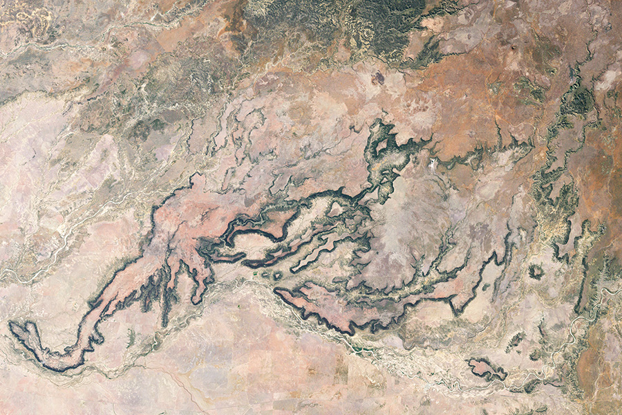
Rangelands are natural and uncultivated landscapes in the form of grasslands, shrublands, woodlands, and deserts that are grazed by domestic livestock or wild herbivores. Since rangelands encompass a diversity of habitats and cover more than half of the Earth’s terrestrial land surface, Landsat data provides a key method for managing and monitoring vegetation health and forage production.
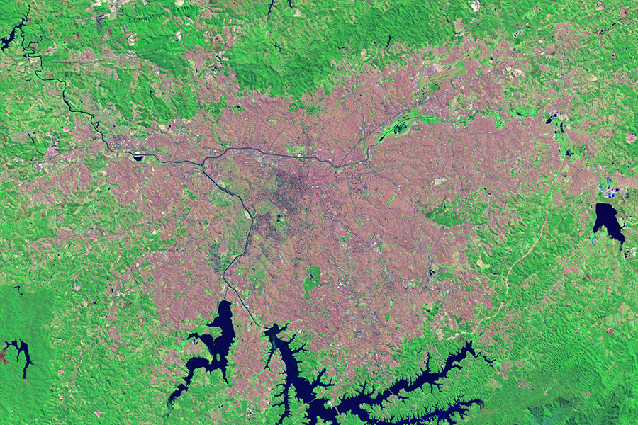
Using Landsat data, people can monitor urban change and also forecast patterns of change in future urban landscapes. Landsat sensors employ a spatial resolution of 30 m, an ideal scale for observing human impacts on the land. The sensors detect urban growth with visible and infrared reflectivity consistently, objectively, and dependably over time.
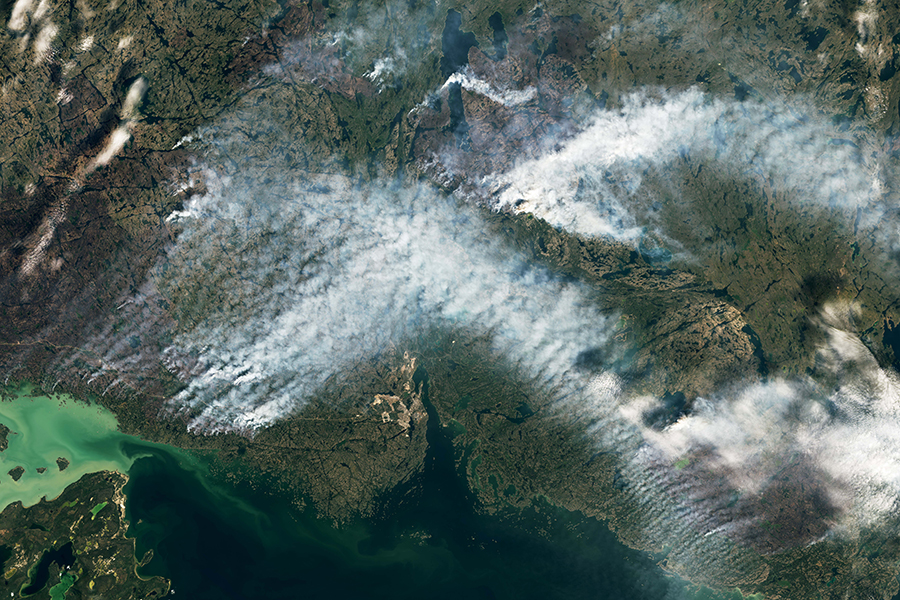
Worldwide, fire plays a critical role in maintaining healthy forests, but fire can also be damaging. Homes are destroyed and the effects on air quality can be felt for miles. Forest fires are occurring more often and with greater intensity than in years past, and Landsat plays a critical role in understanding the impact.

