Outreach specialists Michael Taylor and Allison Nussbaum from the Landsat Communications and Public Engagement team participated in community engagement efforts at the joint NASA and University of Maryland Land-Cover and Land-Use Change (LCLUC) meeting in Gaithersburg, Maryland from April 2-4, 2024.
LCLUC is an interdispelenary program within the Earth Science Division at NASA and is managed jointly by scientists at NASA’s Goddard Space Flight Center and the Unviersity of Maryland, College Park. The program combines physical sciences with social sciences to study Earth’s land cover and land use change over time and places a strong emphasis on utilizing remotely-sensed data sources, like Landsat.
Since 1972, the Landsat program has monitored how Earth’s land cover and land use has changed. Thirty-meter Landsat data is foundational to the National Land Cover Database (NLCD), a project run by the U.S. Geological Survey (USGS) in association with the Multi-Resolution Land Characteristics (MRLC) Consortium.
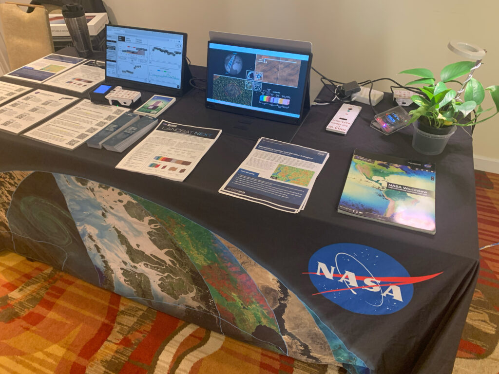
Taylor and Nussbaum shared materials and information about the Landsat program and demonstrated the use cases of the STELLA DIY handheld instruments at the Landsat table. Outreach materials included fact sheets providing information about Landsat Next and the Harmonized Landsat and Sentinel-2 (HLS) project, bookmarks promoting the Landsat’s Enduring Legacy book which can be downloaded as a free PDF from the American Society for Photogrammetry and Remote Sensing (ASPRS).
Nussbaum and Taylor also shared an animation highlighting the improved spatial, spectral, and temporal resolutions of the future Landsat Next mission. The STELLA dataviewer was also featured, allowing users to upload and view real-time remotely-sensed data from the STELLA instruments.
On April 4, Chris Neigh, the Landsat 8 and 9 Project Scientist presented on the status of the two operational satellites. His talk included information about current outreach and communication plans, Landsat applications and societal benefits, data products, and an update on satellite calibration and validation work. Neigh also discussed the current status of Landsat 7, which has ended its nominal science mission.
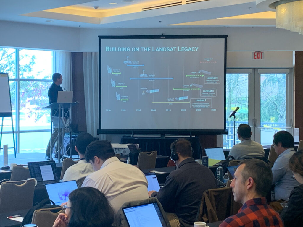
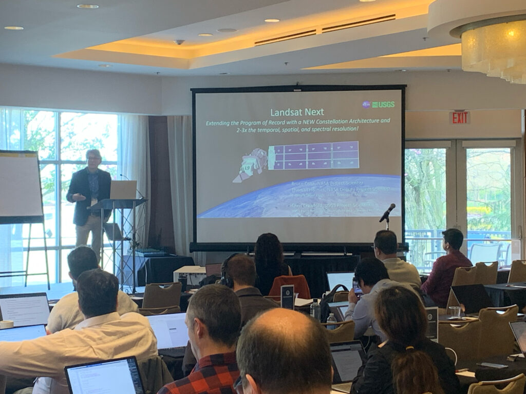
Following Neigh’s presentation, Landsat Next Proejct Scientist, Bruce Cook, shared updates about the upcoming Landsat Next mission, set to launch in late 2030. Cook discussed how the partnership between Landsat and the Sustainable Land Imaging (SLI) program will ensure access to high-quality, global Earth observations for research and operational use. He also emphasized how the Landsat Next mission will meet emerging data user requirements with higher spatial, spectral, and temporal resolutions.

