

Justin Braaten has the Code
Justin Braaten is a code wizard, helping everyone from wildlife ecologists to machine learning experts more easily use Landsat.
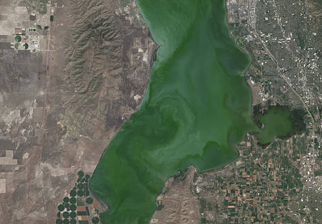
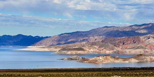
Landsat Satellite Data Warns of Harmful Algal Blooms
Landsat helps water resource managers know where to look for dangerous algal blooms in Utah lakes.
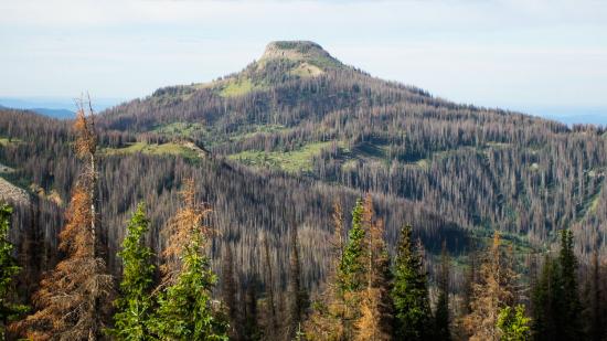
Twenty Years of Bark Beetle Activity Tracked Across Colorado Forests
More than two decades worth of Landsat satellite imagery was used to quantify how beetle outbreaks have impacted high-elevations forests in Colorado, southern Wyoming, and northern New Mexico.
Economics of Nature: Mapping Liberia’s Ecosystems to Understand Their Value
The Liberian government, with the help of NASA and Conservation International, is using Landsat and GEDI data to estimate the country’s natural capital.
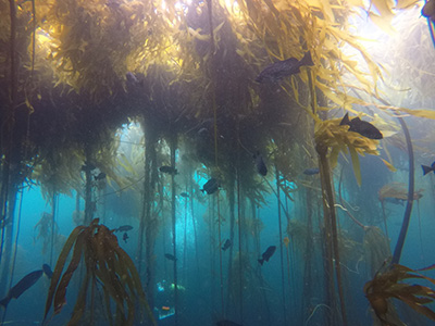
Landsat Shows the Collapse of Northern California Kelp Forests
Most of Northern California’s kelp forest ecosystem is gone, replaced by widespread ‘urchin barrens’ that may persist long into the future, according to a new study.
Landsat Assists ICESat-2 with First Global Survey of Freshwater Fluctuation
Lidar measurements of surface water level combined with Landsat-based surface water maps have enabled the first quantification of how humans impact the water cycle.
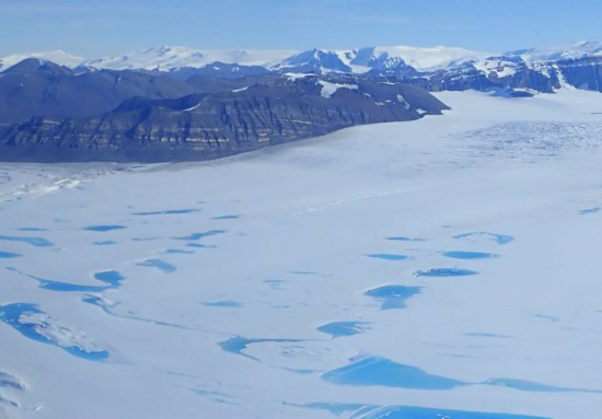
Extreme Melt on Antarctica’s George VI Ice Shelf
Antarctica’s George VI Ice Shelf experienced record melting during the 2019-2020 summer season.
Landsat & Drones Used to Reconstruct Past Environmental Change
Vegetation cover along the Kuiseb River in the Namib Desert has increased over the last 35 years, Landsat has helped show.
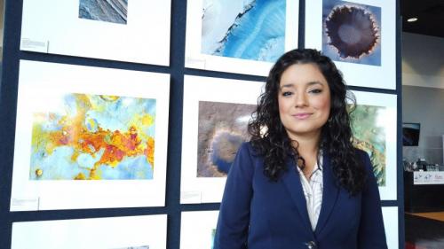
Africa Flores: Using Satellite Data to Monitor Algal Blooms
Scientist and Landsat data user Africa Flores recently talked with Science Friday about her work.
Report: Landsat 9 and the Future of the Sustainable Land Imaging Program
The Congressional Research Service has released a new report about the future of Landsat.
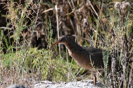
Landsat Imagery Could Help an Endangered Bird
By Morgan Spehar, NASA’s Goddard Space Flight Center The Yuma Ridgway’s rail, a chicken-sized bird that looks like a cross between a duck and a crane, hides away in the marshes
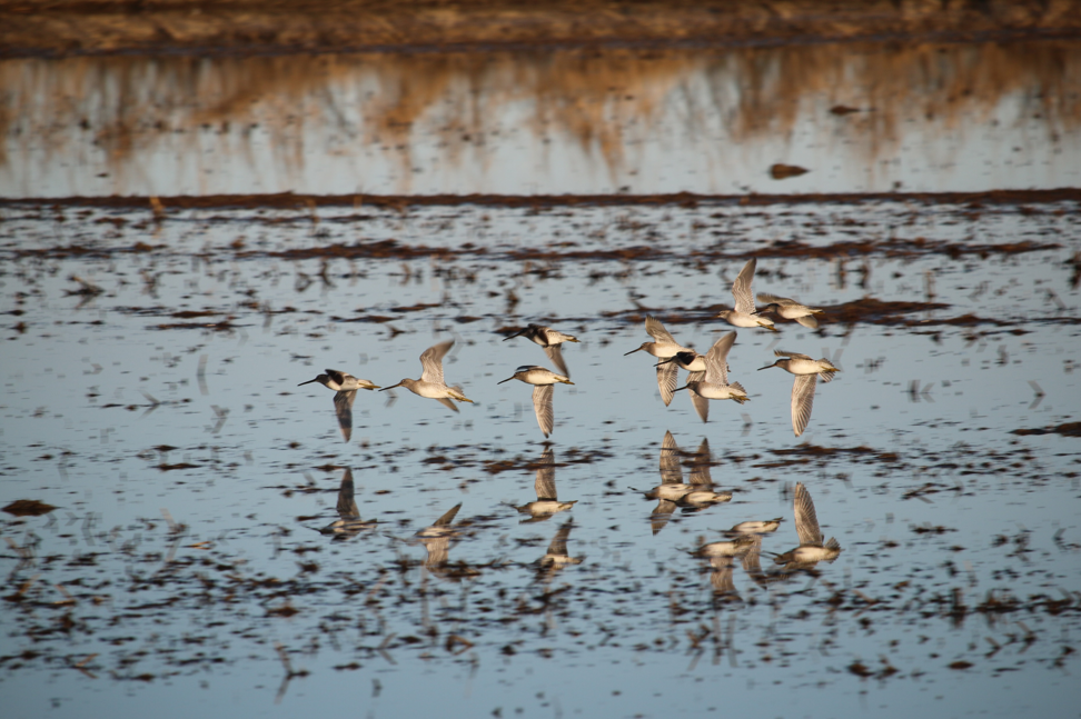
Earth Observations are for the Birds
Earth observations and citizen science are informing a program called BirdReturns to help restore lost natural wetlands.
Talking Climate Change with Conservation and Earth Scientists
Landsat 9 Project Scientist Jeff Masek joined astronaut Jessica Meir and other researchers to discuss the role of space and aviation technologies in studying our changing world as part of the Smithsonian Conservation Commons’ Earth Optimism initiative.

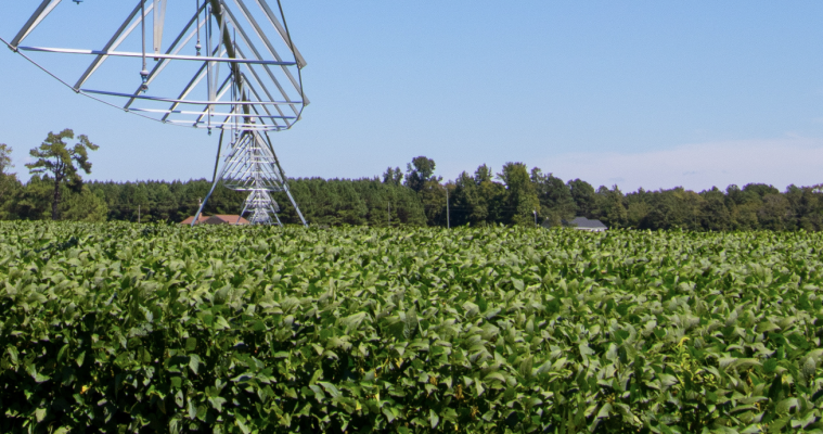
From Space to Farm
Farmers rely on the accuracy of a crucial NASA and USGS mission, Landsat, to make decisions about crops.
Landsat 9 Project Scientist on Expert Panel for Smithsonian Earth Optimism Event
Dr. Jeff Masek will talk about the Landsat data record and its role helping us understand our planet.
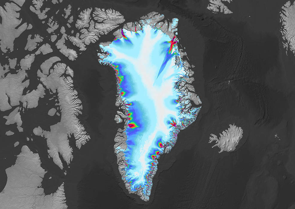
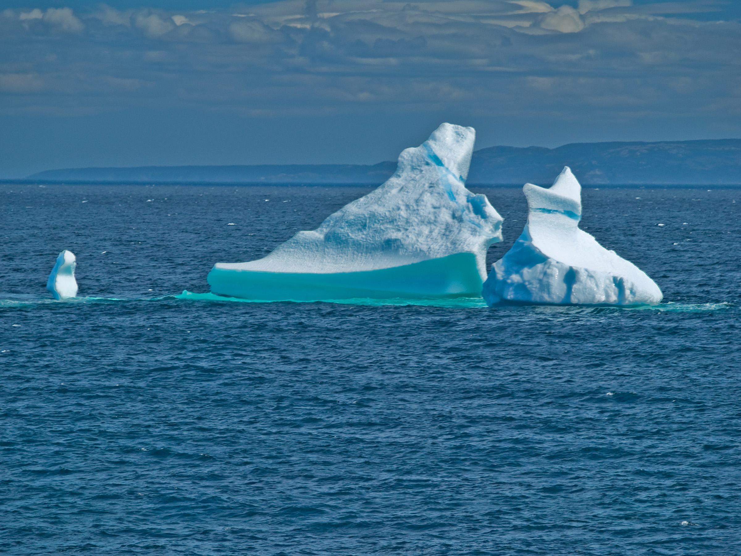
Greenland’s Retreating Glaciers Could Impact Local Ecology
Many of the Greenland’s glaciers are retreating while also undergoing other physical changes.
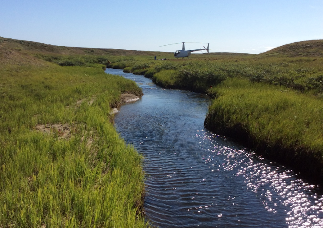
Satellite Data Meets Cellular DNA for Species of Interest
Scientists are combining data from water samples containing fish DNA with satellite data to find native fish and identify their habitats.
Africa Flores: Using Satellite Data to Monitor Algal Blooms
Scientist and Landsat data user Africa Flores recently talked with Science Friday about her work.
Report: Landsat 9 and the Future of the Sustainable Land Imaging Program
The Congressional Research Service has released a new report about the future of Landsat.
Landsat Imagery Could Help an Endangered Bird
By Morgan Spehar, NASA’s Goddard Space Flight Center The Yuma Ridgway’s rail, a chicken-sized bird that looks like a cross between a duck and a crane, hides away in the marshes
Earth Observations are for the Birds
Earth observations and citizen science are informing a program called BirdReturns to help restore lost natural wetlands.
Talking Climate Change with Conservation and Earth Scientists
Landsat 9 Project Scientist Jeff Masek joined astronaut Jessica Meir and other researchers to discuss the role of space and aviation technologies in studying our changing world as part of the Smithsonian Conservation Commons’ Earth Optimism initiative.
From Space to Farm
Farmers rely on the accuracy of a crucial NASA and USGS mission, Landsat, to make decisions about crops.
Landsat 9 Project Scientist on Expert Panel for Smithsonian Earth Optimism Event
Dr. Jeff Masek will talk about the Landsat data record and its role helping us understand our planet.
Greenland’s Retreating Glaciers Could Impact Local Ecology
Many of the Greenland’s glaciers are retreating while also undergoing other physical changes.
Satellite Data Meets Cellular DNA for Species of Interest
Scientists are combining data from water samples containing fish DNA with satellite data to find native fish and identify their habitats.
