
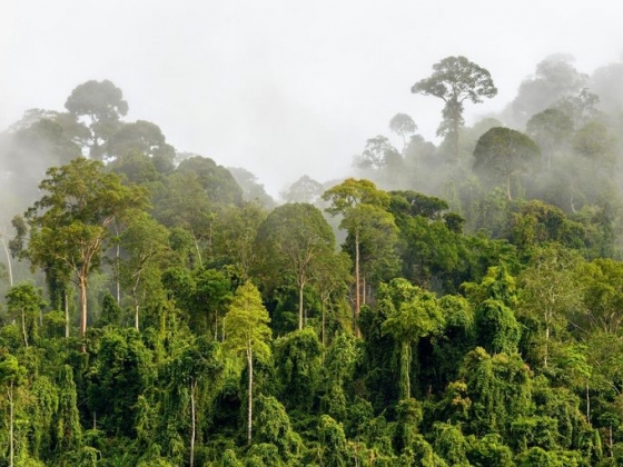
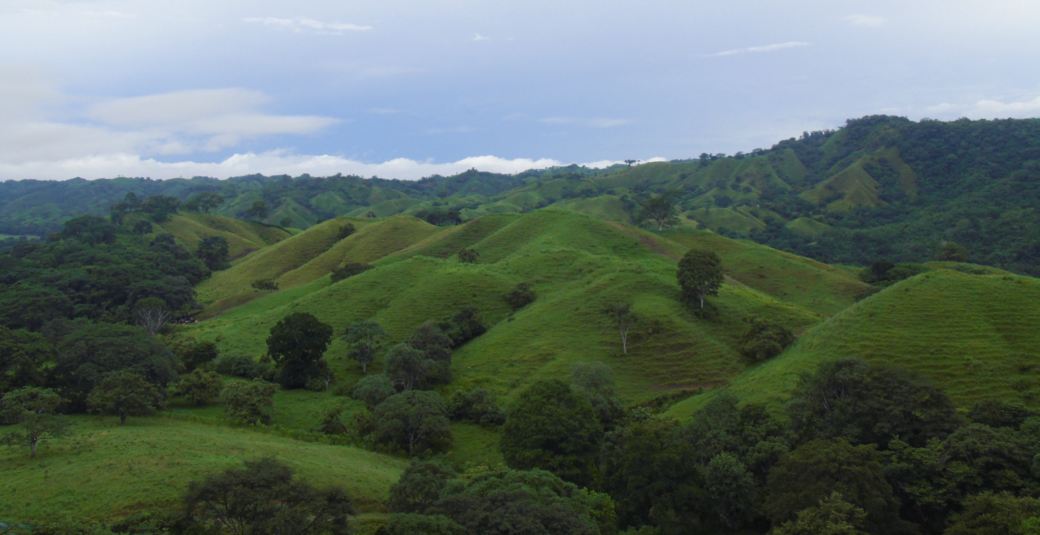
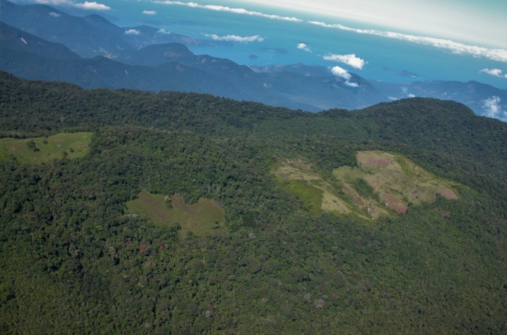
Pinpointing Tropical Forests with High Ecological ‘Quality’
Landsat and ICESat-2 satellite data have made it possible for scientists to develop maps showing the “quality” of tropical forests.
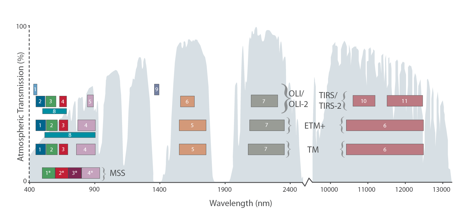
The Intervening Atmosphere: Tracing the Provenance of a Favorite Landsat Infographic
Learn more about the atmospheric transmission data used for our Landsat spectral band comparison graphic.
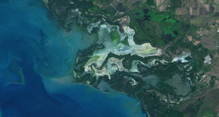
NASA Study Maps the Roots of Global Mangrove Loss
Using Landsat, researchers have created the first map of the causes of change in global mangrove habitats between 2000 and 2016—a valuable tool to aid conservation efforts for these vital coastline defenders.
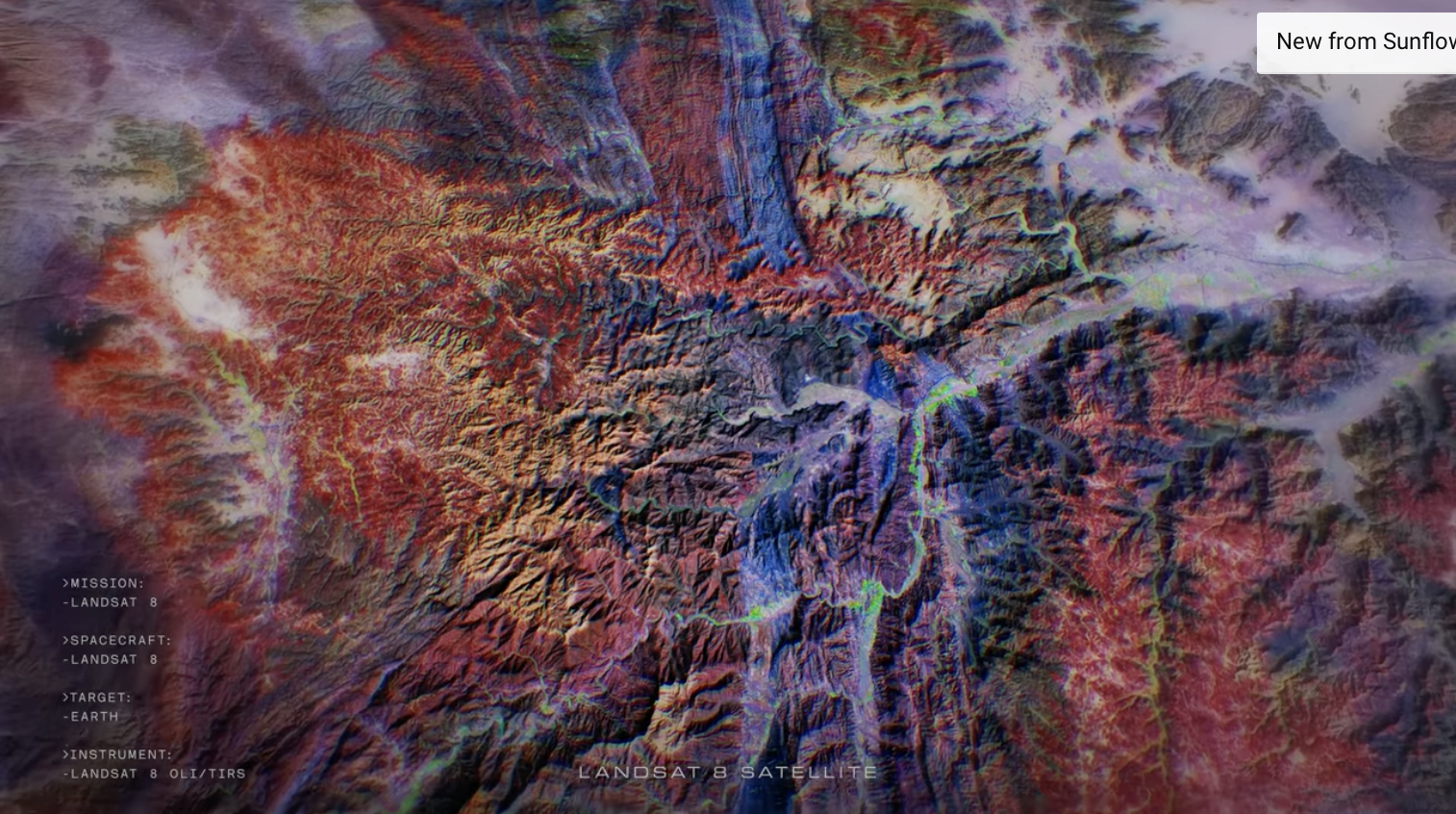
‘Hyperlife’ Video from Beck/NASA Collaboration Features Landsat 8
In Beck’s “Hyperlife” video, the abstract beauty of our planet morphs from geographic location-to-location with the flow of the etherial track.

Virginia T. Norwood: The Mother of Landsat
We have Virginia Norwood to thank for the design and engineering that made the Landsat program a success and set the path for modern Earth observation.
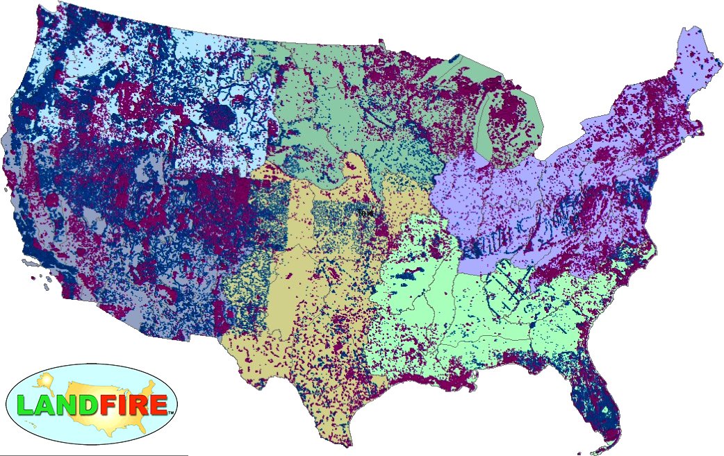
LANDFIRE Remap Is Here
LANDFIRE has released its Remap dataset; new techniques and new data provide significant improvement.

Student Liza Goldberg Uses National Geographic Young Explorers Grant to Bring Satellite Imagery into Classrooms
Goldberg will launch Cloud to Classroom, an innovative project that uses satellite imagery to help K-12 classrooms understand global environmental change through remote sensing.
Using Landsat Data to Assess Regeneration in Tropical Forests
A team of Boise State researchers is helping forecast tropical forest recovery from deforestation using Landsat satellite data.

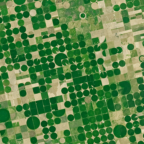
New Satellite-Based Algorithm Pinpoints Crop Water Use
A new satellite-driven biophysical model can make accurate forecasts of crop water use that are critical for farmland water management and sustainability.
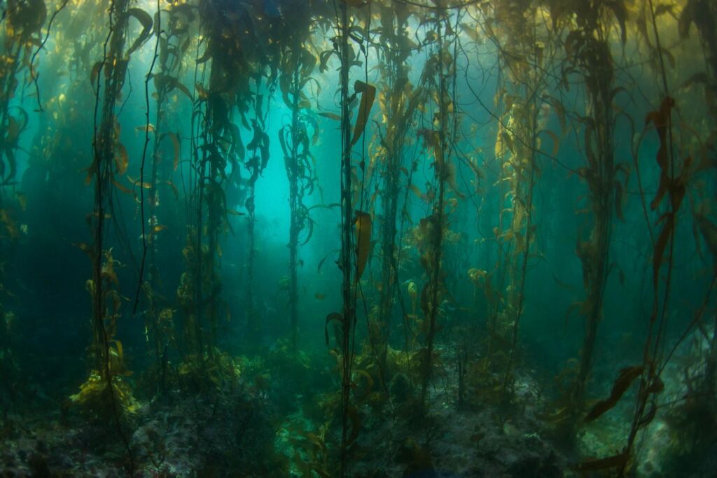
Kelp Forests at the End of the Earth
Kelp forest cover near Tierra del Fuego appeared to follow approximately four-year cycles that mirror sea surface temperature and El Niño-Southern Oscillation rainfall patterns.
Landsat Gives Epidemiologists Key Insights
How the fields of epidemiology and remote sensing intersect to help the public.

Landsat Boosts Understanding of Climate Change’s Impact on Kelp
Landsat imagery shows that bull kelp canopy area can vary dramatically from year to year, and that long-term population trends vary from reef to reef.
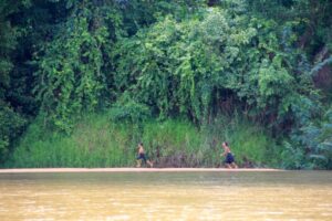
Destruction of Atlantic Rainforest Tied to Local Temperature Increases
Considered one of the world’s richest and most endangered forests, the Atlantic rainforest occupies 15% of Brazil’s landmass in an area that is home to 72% of the population.
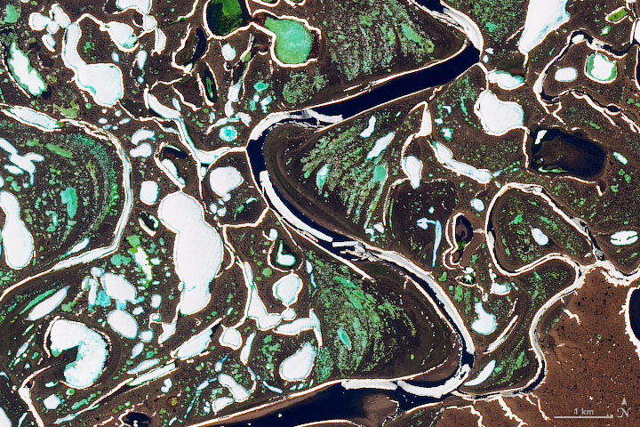
Landsat Reveals Vanishing River Ice
The extent of wintertime river ice has declined by 2.5 percentage points globally over the past three decades.
Landsat Provides “Complete Perspective” of Wetland Loss in China
Intertidal wetlands significantly contribute to China’s environmental and ecological diversity, but are facing unprecedented pressures from anthropogenic development, as well as the threat of future sea level rise.
Hydropower Dams Cool Rivers in the Mekong River Basin, Landsat Shows
Researchers used Landsat satellites to track changes in surface water temperature for the Sekong, Sesan and Srepok rivers. Within one year of the opening of a major dam, downstream river temperatures during the dry season dropped by up to 3.6ºF.
Landsat: Farming Data From Space
With Landsat data, farmers can find new ways to grow more crops with less water.
New Satellite-Based Algorithm Pinpoints Crop Water Use
A new satellite-driven biophysical model can make accurate forecasts of crop water use that are critical for farmland water management and sustainability.
Kelp Forests at the End of the Earth
Kelp forest cover near Tierra del Fuego appeared to follow approximately four-year cycles that mirror sea surface temperature and El Niño-Southern Oscillation rainfall patterns.
Landsat Gives Epidemiologists Key Insights
How the fields of epidemiology and remote sensing intersect to help the public.
Landsat Boosts Understanding of Climate Change’s Impact on Kelp
Landsat imagery shows that bull kelp canopy area can vary dramatically from year to year, and that long-term population trends vary from reef to reef.
Destruction of Atlantic Rainforest Tied to Local Temperature Increases
Considered one of the world’s richest and most endangered forests, the Atlantic rainforest occupies 15% of Brazil’s landmass in an area that is home to 72% of the population.
Landsat Reveals Vanishing River Ice
The extent of wintertime river ice has declined by 2.5 percentage points globally over the past three decades.
Landsat Provides “Complete Perspective” of Wetland Loss in China
Intertidal wetlands significantly contribute to China’s environmental and ecological diversity, but are facing unprecedented pressures from anthropogenic development, as well as the threat of future sea level rise.
Hydropower Dams Cool Rivers in the Mekong River Basin, Landsat Shows
Researchers used Landsat satellites to track changes in surface water temperature for the Sekong, Sesan and Srepok rivers. Within one year of the opening of a major dam, downstream river temperatures during the dry season dropped by up to 3.6ºF.
Landsat: Farming Data From Space
With Landsat data, farmers can find new ways to grow more crops with less water.
