
Study Finds Increased Urban Greenery Could Save Lives
A new analysis found that between 34,000-38,000 could have been reduced with local increases in green vegetation in US metropolitan areas from 2000-2019.
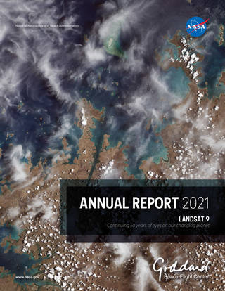
Landsat 9 in the 2021 Goddard Annual Report
Landsat 9’s first light image was featured on the cover of the 2021 Goddard Annual Report.
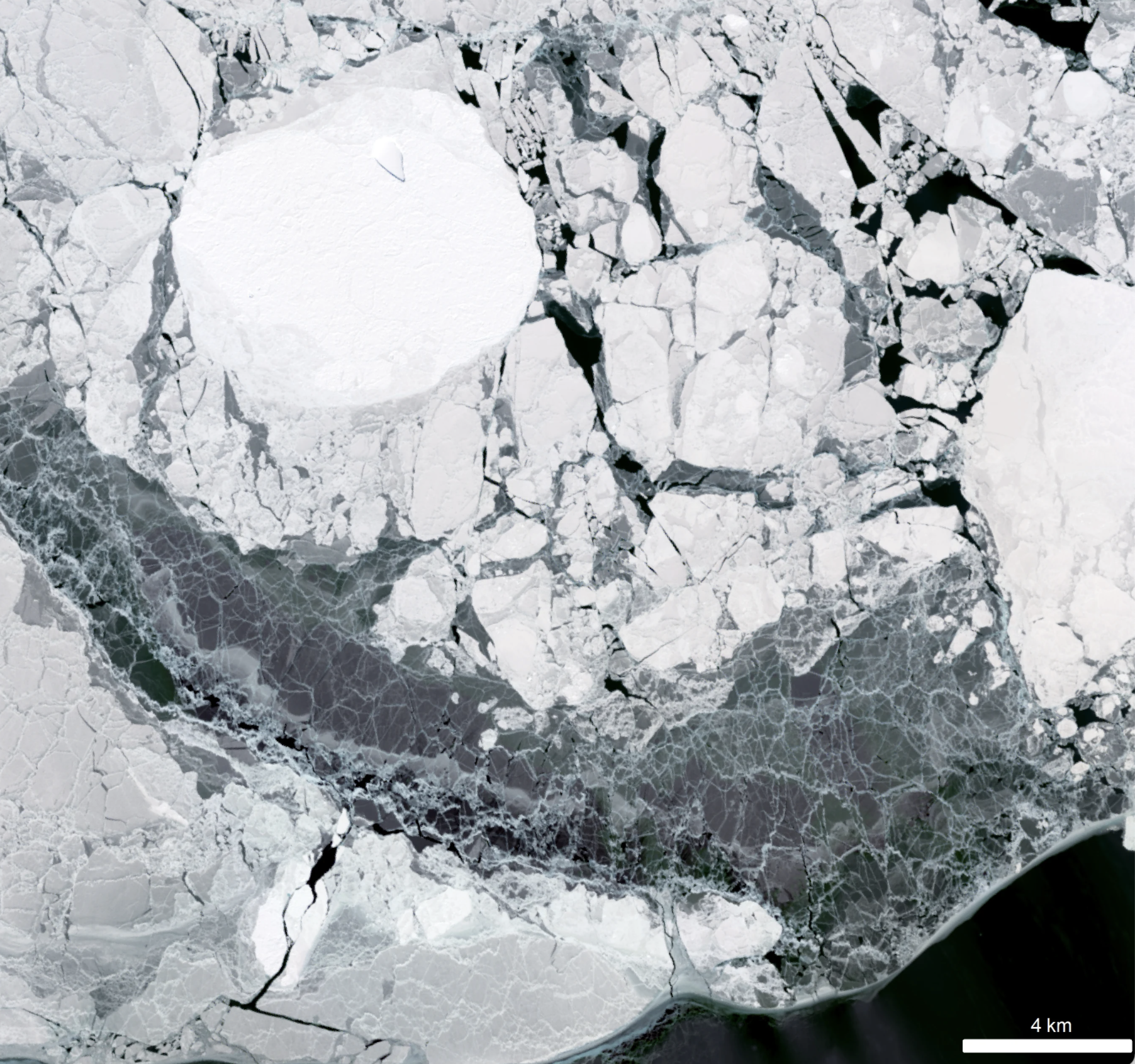
New Research Finds Sea Ice Can Control Antarctic Ice Sheet Stability
Despite the rapid melting of ice in many parts of Antarctica during the second half of the 20th century, researchers have found that the floating ice shelves which skirt the eastern Antarctic Peninsula have undergone sustained advance over the past 20 years.
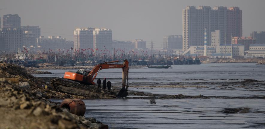
Landsat Reveals Dramatic Loss of Global Wetlands Over Past Two Decades
An analysis of over a million Landsat images has revealed that 4,000 square kilometres of tidal wetlands have been lost globally over twenty years.

Landsat Interns Observing Earth in Innovative and Creative Ways
In recognition of Earth Day, NASA is highlighting two interns advancing the well-being of our planet through their work with the Landsat team.

Faces of NASA: Emil Cherrington
Get to know Emil Cherrington, a scientist and Landsat data user.

Faces of NASA: Nikki Tulley
Get to know Nikki Tulley, an Assistant Research Scientist at NASA’s Ames Research Center and Landsat data user.
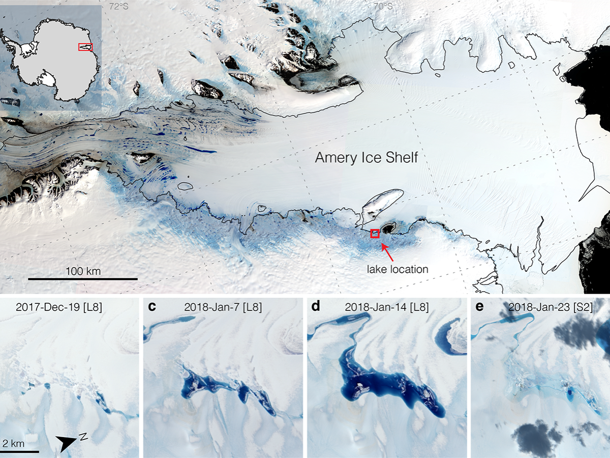
Strong Tides, Vanishing Lakes May Prove Beneficial to Antarctic Ice Shelf
Satellites have helped show that strong tidal activity may facilitate water-induced fracturing, or hydrofracturing, where land ice transitions to floating ice shelf and cause the meltwater lake to drain quickly, often in as little as several days.
Improving Crop Yield Predictions with Satellite Assist
New Michigan State University research found that incorporating in-season water deficit information into remote sensing-based crop models significantly improves corn yield predictions.

Virginia Norwood: Engineer Extraordinaire
Virginia Norwood was awarded the USGS John Wesley Powell Award for her contributions to USGS—most notably the long-running Landsat program.
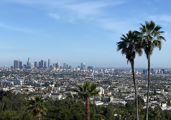
Finding Ways to Turn Down the Heat in Cities with Satellites
Rooftop gardens and greenery can help ease some of the severe heat in cities, according to research from climate scientists at NASA’s Goddard Institute for Space Studies (GISS) in New York.
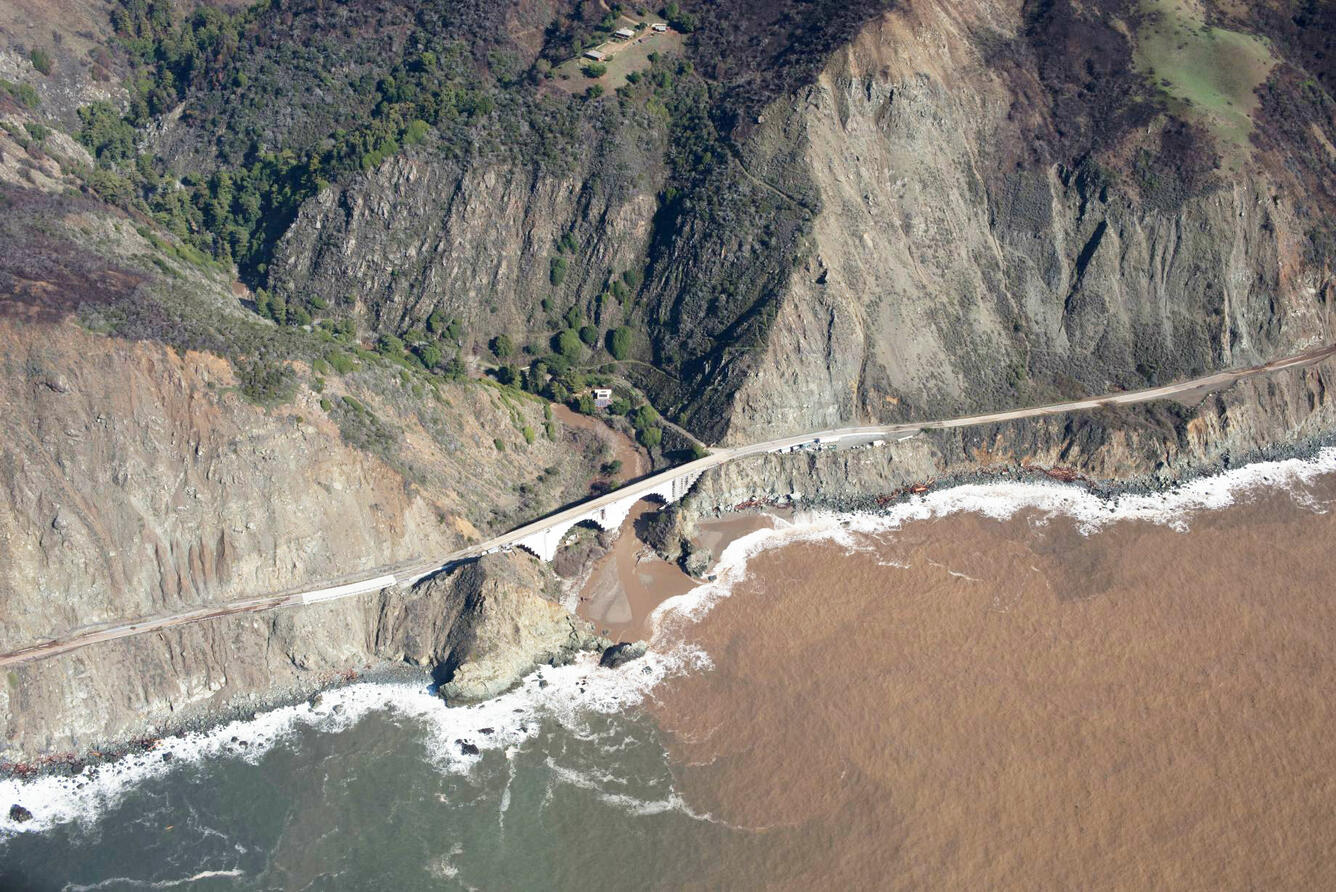
When Fire+Flood=Beach
A new study combines decades of Landsat and Sentinel-2 imagery with hydrologic and oceanographic data to look at how changes on land affect coastlines in Big Sur, California.

Meet Qiusheng Wu, Geospatial Community Contributor
Wu wants anyone to be able to derive meaningful information from geospatial data like Landsat.
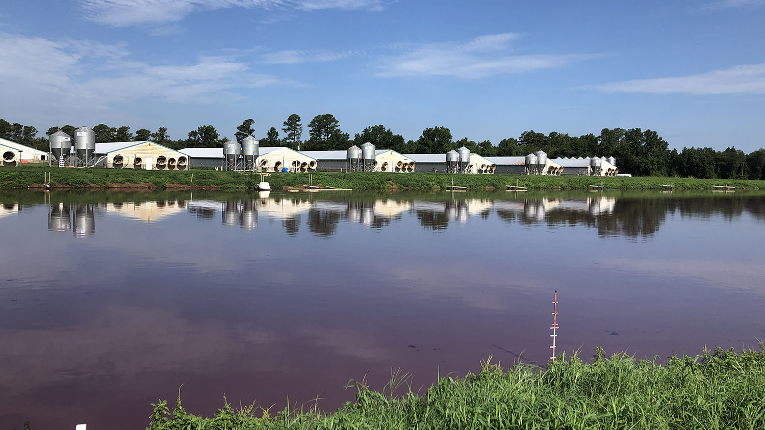
Tracking the Start of Swine Waste Lagoons with Landsat
Researchers at North Carolina State University have developed an automated technique that uses Landsat to determine when swine waste lagoons were constructed and how they may have affected environmental quality.
USGS Opens Door to Landsat 9 Data
The U.S. Geological Survey has made all Landsat 9 data available from its Landsat archive.
NASA/USGS Landsat 9 Passes Review, Now Operational
Landsat 9, a joint mission of NASA and the U.S. Geological Survey (USGS), passed its post-launch assessment review and is now in its operational phase.
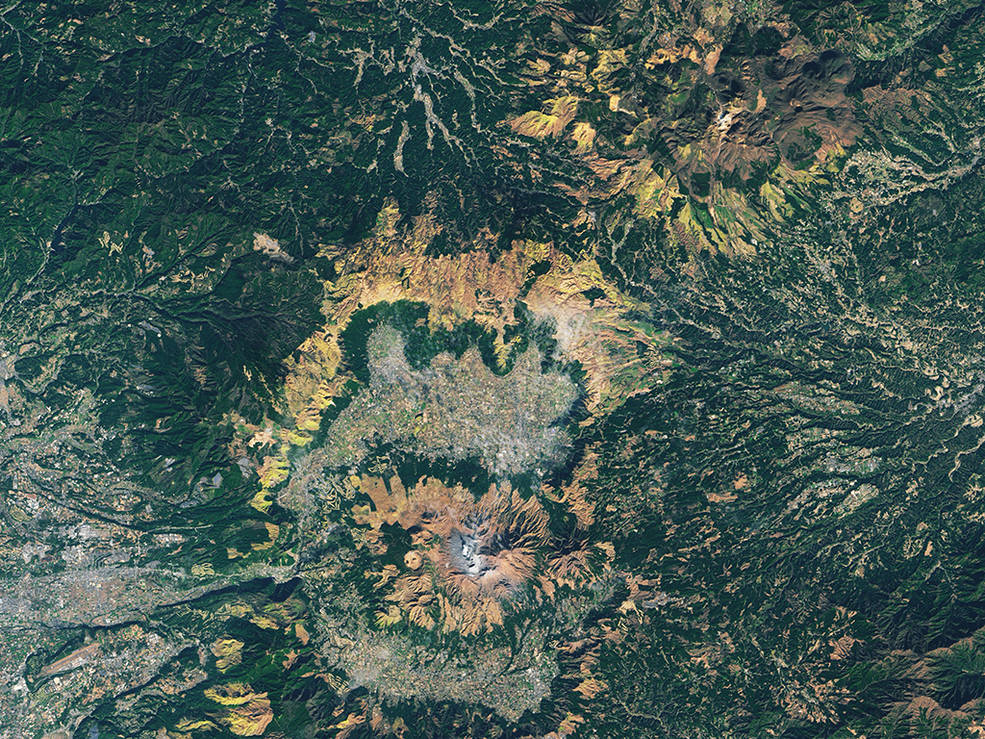
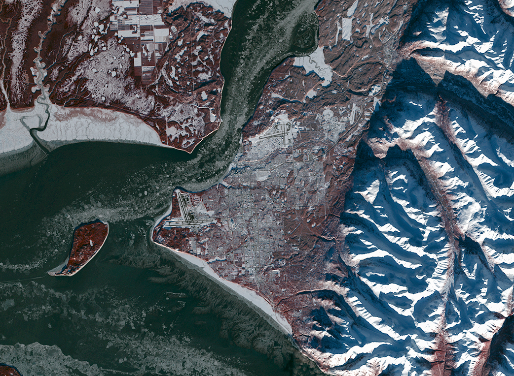
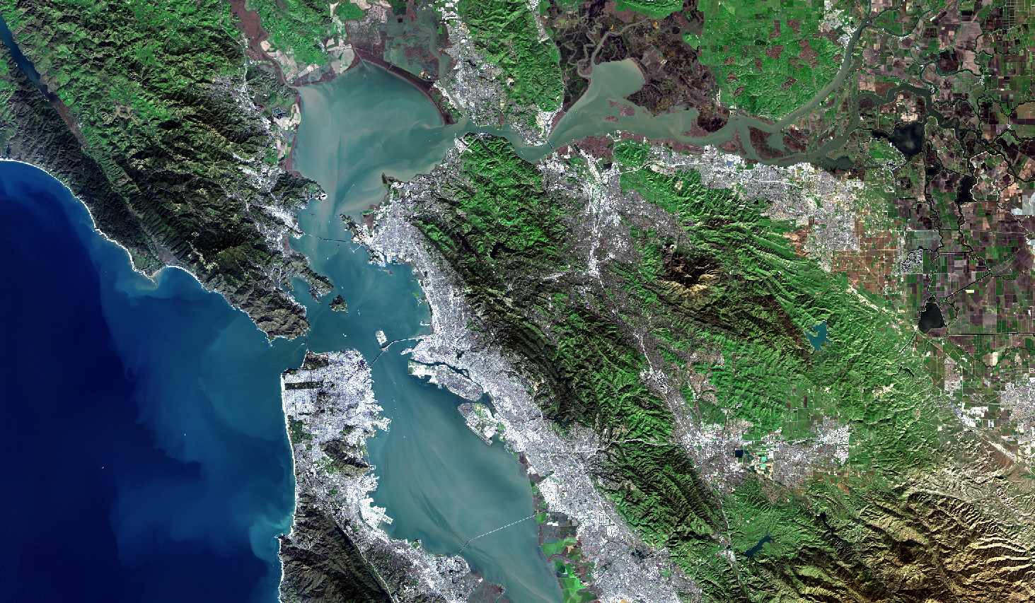
Amazing Earth: Satellite Images from 2021
From record-breaking heatwaves to pandemic-related events, the images in this list showcase some of the beautiful and complex events that occurred on our planet in the past year.
Improving Crop Yield Predictions with Satellite Assist
New Michigan State University research found that incorporating in-season water deficit information into remote sensing-based crop models significantly improves corn yield predictions.
Virginia Norwood: Engineer Extraordinaire
Virginia Norwood was awarded the USGS John Wesley Powell Award for her contributions to USGS—most notably the long-running Landsat program.
Finding Ways to Turn Down the Heat in Cities with Satellites
Rooftop gardens and greenery can help ease some of the severe heat in cities, according to research from climate scientists at NASA’s Goddard Institute for Space Studies (GISS) in New York.
When Fire+Flood=Beach
A new study combines decades of Landsat and Sentinel-2 imagery with hydrologic and oceanographic data to look at how changes on land affect coastlines in Big Sur, California.
Meet Qiusheng Wu, Geospatial Community Contributor
Wu wants anyone to be able to derive meaningful information from geospatial data like Landsat.
Tracking the Start of Swine Waste Lagoons with Landsat
Researchers at North Carolina State University have developed an automated technique that uses Landsat to determine when swine waste lagoons were constructed and how they may have affected environmental quality.
USGS Opens Door to Landsat 9 Data
The U.S. Geological Survey has made all Landsat 9 data available from its Landsat archive.
NASA/USGS Landsat 9 Passes Review, Now Operational
Landsat 9, a joint mission of NASA and the U.S. Geological Survey (USGS), passed its post-launch assessment review and is now in its operational phase.
Amazing Earth: Satellite Images from 2021
From record-breaking heatwaves to pandemic-related events, the images in this list showcase some of the beautiful and complex events that occurred on our planet in the past year.
