Landsat Next Defined

Landsat Next Defined

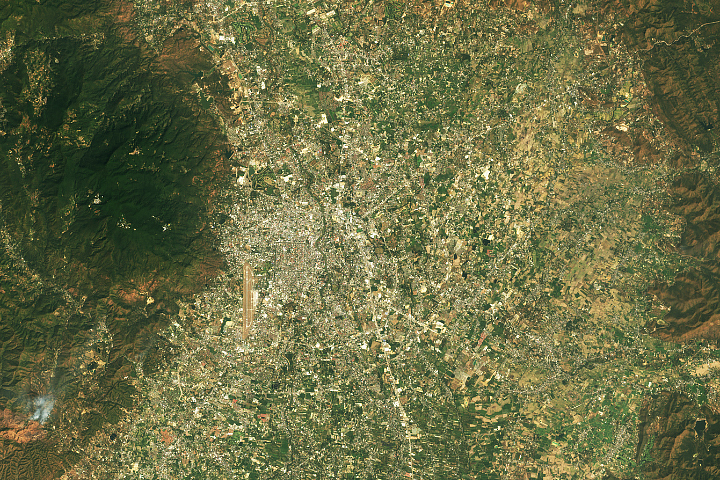
Landsat Next is on the horizon—the new mission will not only ensure continuity of the longest space-based record of Earth’s land surface, it will fundamentally transform the breadth and depth of actionable information freely available to end users. Take a look at the new capabilities that will define the next Landsat mission.

Read More »
Landsat Next Defined

Landsat Next Defined

Landsat Next is on the horizon—the new mission will not only ensure continuity of the longest space-based record of Earth’s land surface, it will fundamentally transform the breadth and depth of actionable information freely available to end users. Take a look at the new capabilities that will define the next Landsat mission.

Read More »

“A sizable portion of our greenhouse gas contribution to the atmosphere comes from land use. And having Landsat data to look back to the 1970s, from there to now, you can then calculate or approximate year-by-year what that contribution is, and that’s extremely important.”


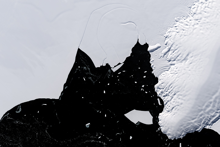
“We’re taking darkness out of the equation. Extending the ability to observe ice and polar ocean changes increases the probability of capturing major glacier calving events, wind-driven surface melting or warming, and coastal ocean ice shelf breakup that can be expected to occur more frequently in the future if the pace of warming does not slow.”


“I think of Landsat as a Swiss Army knife. It is one basic set of observations that feeds an entire range of Earth science applications and research.”


“You can acquire data until the cows come home. But if the data isn’t available, you can only go so far. If people can’t rely on data availability and continuity, they won’t build a system to use it. And then the whole puzzle falls apart.”


“At Google, we use Landsat data on a daily basis.”


“There is no better source of information [than Landsat] to document the changes happening to our planet’s landscapes­—and we need this continuous record to help our communities become more resilient to the dramatic effects we are seeing.”


“The power of Landsat is that you can travel through time and you can travel through space and tell these really rich stories to help the greater good.”


“It’s hard to quantify the value of Landsat, but the last time USGS tried in 2017 they estimated that it produces $3.45B in value to society annually. There’s a second important conclusion buried in that study: if they tried charging for the data, that value would likely vanish in the blink of an eye.”


“By using Landsat 8 imagery, and classification tree analysis, which is an advanced artificial intelligence routine, we have been able to construct a reliable classification system to identify cheatgrass infestations that is accurate. This has implications for fire susceptibility. Cheatgrass is driving wildfire on rangelands and we need to identify areas that have heightened susceptibility to wildfire.”


“Landsat 8 has been instrumental in monitoring smoke plumes as they spread across the Ninewa plains.”


“We use Landsat 8 to document glacier velocity patterns on a mountain-range-wide scale. Mapping glacier velocity is facilitated by Landsat’s high radiometric resolution and precise geolocation.”


“Landsat 9 data will be delivered in a format that is consistent with currently available data from the previous Landsat satellites. This provides an unbroken story of land changes through over 40 years of Earth observation data.”


“In order to produce a rock outcrop map for the entire Antarctic continent, we required a freely available georeferenced multispectral dataset. The dataset needed to cover the high latitudes; be recently acquired; be of a high enough resolution to identify individual outcrops and geomorphological features; and have suitable coverage of the continent. On this basis, the Landsat 8 multispectral satellite data was chosen for analysis as no other platform met these requirements. It would not ha…


“It’s hard to quantify the value of Landsat, but the last time USGS tried in 2017 they estimated that it produces $3.45B in value to society annually. There’s a second important conclusion buried in that study: if they tried charging for the data, that value would likely vanish in the blink of an eye.”


“Landsat, with its five-decade record of robust collection, calibration and archiving, and its longstanding service as a global reference to cross-calibrate other missions, improves not only the quality of those systems but the overall quality of the global ‘system of systems’.”


“By analyzing velocity estimates extracted from 30 years of Landsat data, this study highlights the complex, and sometimes counterintuitive, interplay between surface meltwater and ice motion.”


“There’s still so much more information to retrieve from Landsat’s 50-year, multispectral data record.”


“I saw more use of Landsat as the gold standard of calibration than I’ve ever seen in the past. Most of the commercial vendors I heard from called out Landsat as the gold standard. Even the European vendors called out Landsat, which I thought was unique.”


“What should be done with the old bird?”


“With the Landsat satellite system capable of delivering global coverage every 8 days, we have an unprecedented ability to monitor global forest change. The 2014 tree cover loss data, incorporating hundreds of thousands of Landsat images, confirms that deforestation is not just high in certain countries, it’s speeding up. The next step is to use this information to improve forest protection and more equitably balance economic development with the invaluable ecosystem services forests provid…


“[T]he pivotal aspect of the Landsat mission is the acquisition and curation of the most comprehensive and longest uninterrupted cross-calibrated EO data record ever gathered, with ensured continuity, and with ongoing efforts to consistently reprocess the entire image archive to incorporate cutting-edge advances in data preprocessing, which are then distributed as ‘collections’.”


“This global census can help identify other lakes in need of monitoring or remediation, Dr. Shugar said. ‘We hope that it allows governments to see where the hot spots might be for glacial lakes growing in the future.'”


“The rich history of Landsat (40+ years) enables not only change detection and trend analysis, but also provides a unique oppurtunity for hydrologic model calibration and validation as shown in this application.”


“Landsat has given us a critical perspective on our planet over the long term and will continue to help us understand the big picture of Earth and its changes from space. With this view we are better prepared to take action on the ground and be better stewards of our home.”


Landsat 9 bw
Landsat 9 bw
Landsat 9 bw

The NASA/USGS Landsat Program provides the longest continuous space-based record of Earth’s land in existence. Landsat data give us information essential for making informed decisions about Earth’s resources and environment.