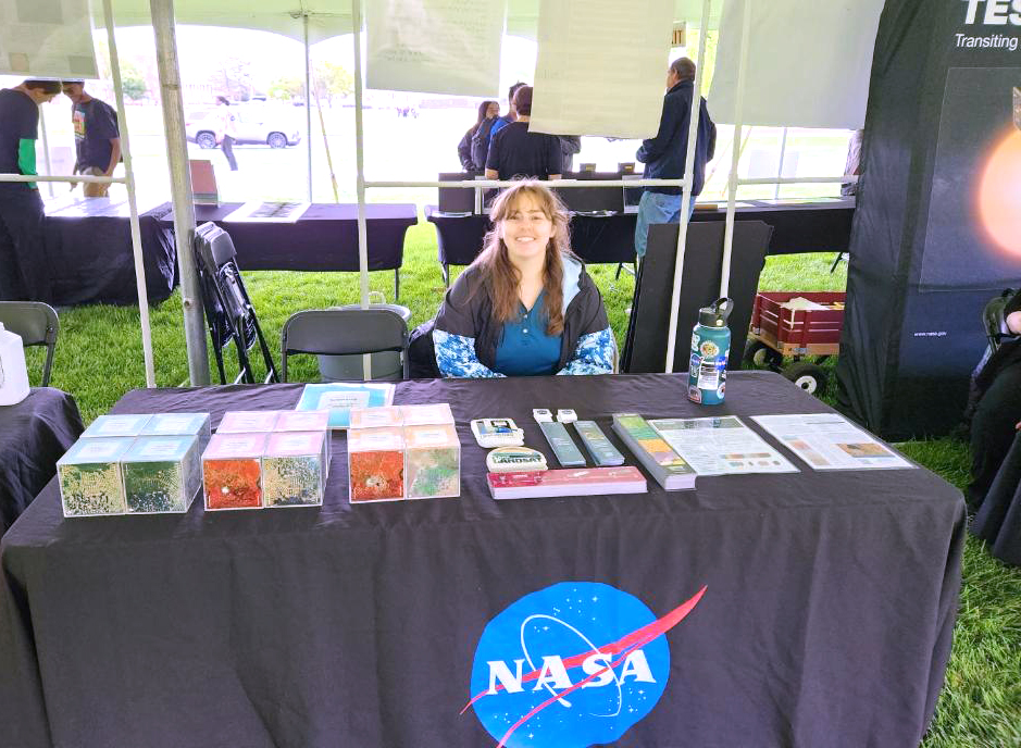
The Landsat Communications and Public Engagement team supported Maryland Day, hosted by the University of Maryland (UMD), College Park on Saturday, April 27, 2024. Hosted by UMD since 1999, Maryland Day is the university’s largest community outreach event. This year, Maryland Day was celebrated with over 300 activities across UMD’s campus. Outreach specialist, Allison Nussbaum, represented the Landsat outreach team within the NASA booth where she interacted with hundreds of attendees and highlighted the many benefits of the five-decades-long Landsat program.

At the event, Nussbaum used the tabletop Landsat change-over-time cubes to engage with visitors about the longevity of the Landsat mission and to show how scientists use the data to study Earth’s changing landscapes. The set of four cubes shows Landsat images of different locations on Earth collected at four different time periods; visitors put the cubes in chronological order. This activity demonstrates how scientists monitor change, such as deforestation in the Amazon Rainforest, urban growth in Las Vegas, Nevada, landscape recovery after natural disasters like a fire in Yellowstone National Park and a volcanic eruption at Mount St. Helens. The participants enjoyed learning about how NASA missions further our understanding of Earth and space with hands-on activities.
Nussbaum also handed out various outreach materials including Landsat timeline rulers, Landsat 9 mission and Camp Landsat decals, and bookmarks promoting the Landsat’s Enduring Legacy book. She also shared information about the upcoming mission, Landsat Next, set to launch in late 2030, which will have improved spatial, spectral, and temporal resolutions.


