
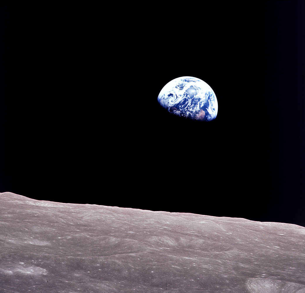
Remembering Bill Anders
Anders, 90, the astronaut who captured the iconic Earthrise photograph, died on June 7, 2024, when the plane he was piloting crashed into the San Juan Channel.
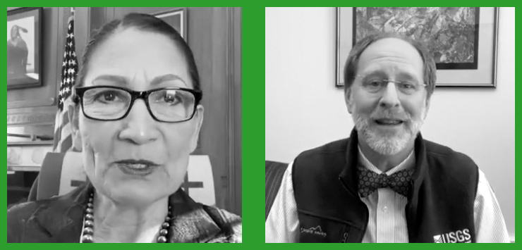
USGS Director Talks Landsat
In an Instagram Live event titled “Guided by Science,” Deb Haaland, U.S. Secretary of the Interior, spoke with USGS Director Dr. David Applegate. The Landsat portion of that discussion is shared here.
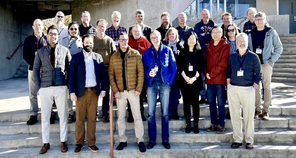
The Earth Observer Shares Landsat Happenings
A summary of the final activities of the 2018–2023 Landsat Science Team and a synopsis of the 2022 History of NASA and the Environment Symposium were among the topics covered in the most recent issue of NASA’s The Earth Observer.
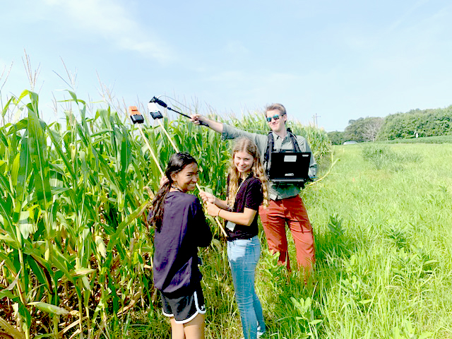
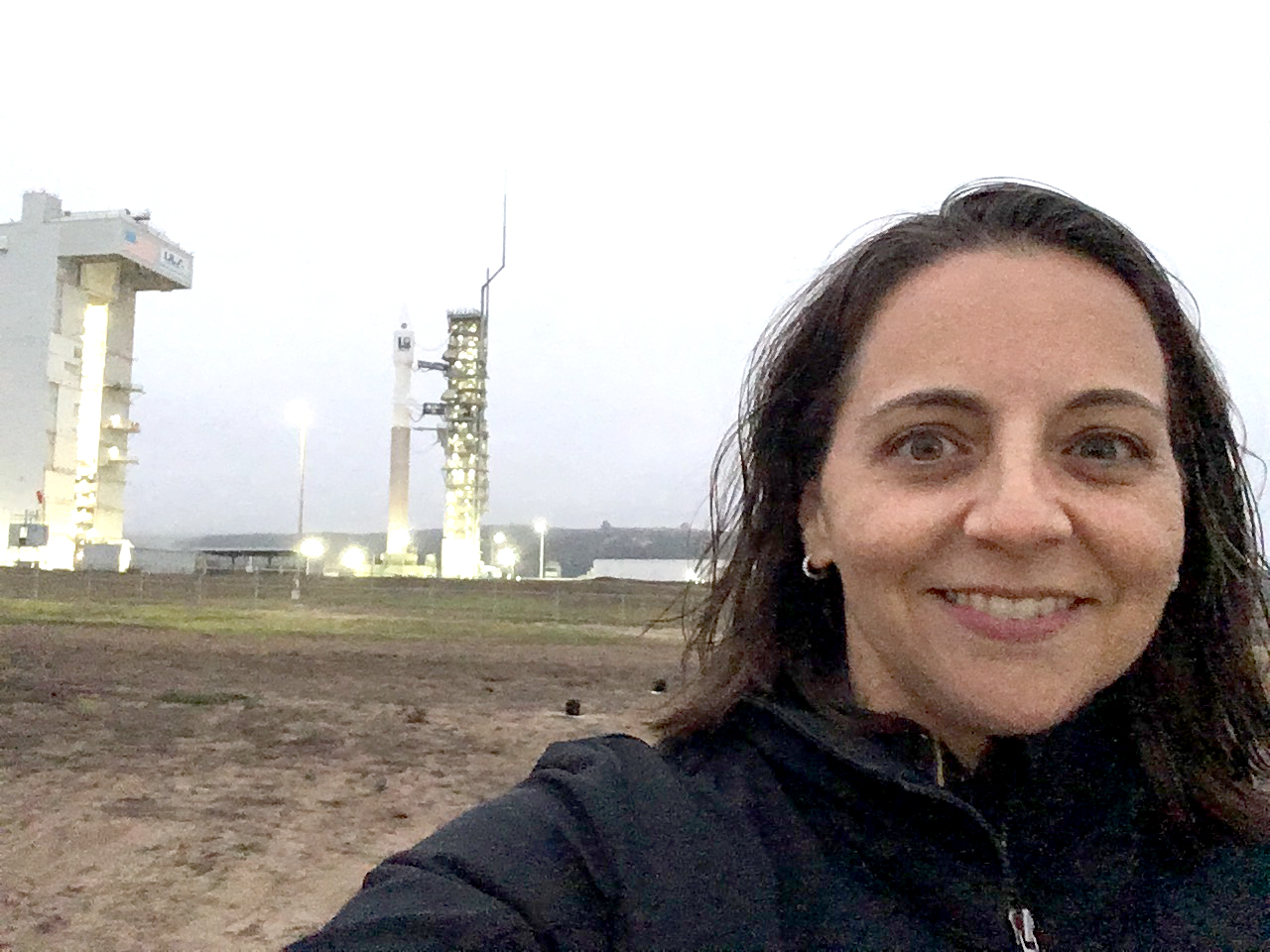
Landsat In Your Hands: STEM Adventures with a DIY Instrument
One way to better understand the science and technology behind Landsat’s spectral measurements is to build a spectrometer. This past summer, two local high school students did just that.

Bex Dunn: Landsat Data User + Wetland Explorer
Bex Dunn is an Earth Observation Scientist at Geoscience Australia where she uses Landsat data to better understand wetlands.
Meet Julia Barsi, Landsat Calibration Scientist
Julia Barsi calibrates instruments on Landsat satellites.
