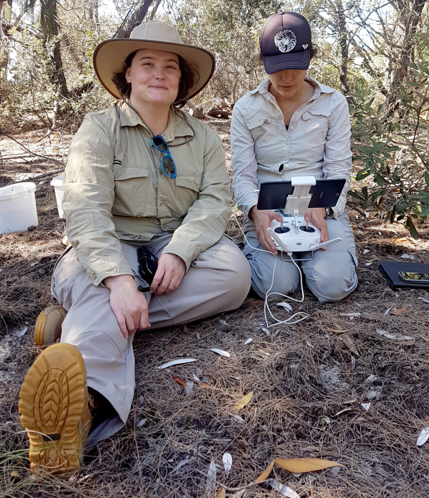
Q&A conducted by Laura E.P. Rocchio

Bex Dunn
Earth Observation Scientist
Geoscience Australia
Bex Dunn is an Earth Observation Scientist at Geoscience Australia where she uses Landsat data to better understand wetlands. We recently wrote about the new Landsat-based Wetland Insight Tool (WIT) that Dunn helped develop. WIT provides a visual summary of 35+ years of wetland dynamics and is being used by wetland managers in Australia.
Here are some of the questions we had for Dunn:
When did you first start using Landsat data?
I started using Landsat data in 2017 when I joined Geoscience Australia’s Digital Earth Australia Branch as an Earth Observation Scientist. I work with Australia’s implementation of the Open Data Cube geospatial data management and analysis platform, and create products using satellite data for nationally relevant information.
I’ve worked largely with surface water, wetland and vegetation applications while working with the Landsat archive, and have really appreciated being able to use Landsat data as a ‘time machine’ to understand our changing environment.
Why is the Landsat data record important for managing wetlands?
The Landsat data record is absolutely invaluable, as wetland managers can start to understand if changes they are seeing take place over months, years, or decades. The incredible continuity of having data that goes back over 35 years can really mean the difference between knowing if a change in vegetation or hydrology might be new, or something that has been seen before in the record.
Are wetlands (still) underappreciated?
I think so! Wetlands are so important in how water behaves in the landscape, and water is so important to our survival. They’re really valuable biodiverse ecosystems, providing habitat, refuges and nurseries for birds, plants and animals, filtering drinking water, damping floods, supporting agriculture and recreation, sequestering carbon, controlling sediment runoffs, and contributing to the water cycle on our planet. Wetlands are beautiful and special parts of our planet.
How will the Landsat Next mission impact the utility of products like the Wetland Insight Tool?

I’m really looking forward to using the Landsat Next data to increase the utility of our wetlands products. Increased observation frequency is always wonderful, especially for reducing the gaps in our wetlands products for places that are cloudy, as well as increasing our ability to resolve change on smaller timescales such as in times of flood. Similarly with spatial resolution – there is a lot of interest in Australia’s small and diverse wetlands, such as mound springs and peat bogs, both of which can benefit from high-resolution data to understand their behavior and responses to change.
The increased spectral coverage will be great too: there is a lot we can do with additional surface temperature bands in wetland extent definition; with more bands in the near and shortwave infrared range we can improve vegetation and water coverage differentiation; in the visible bands we can improve vegetation variety and health analyses, and water quality and color observations. Then with additional options in mineral and soil mapping, and in evapotranspiration calculations, the possibilities in expanding the information we can provide and tailoring it to our users are huge.
Overall, we have so many options with Landsat Next, to add additional information and context to support our wetland managers as well as continuing the historical record of change and variability of our wetlands.
Related Reading
+ Landsat Insights: Wetland History in Your Hand
+ Meet Bex Dunn: Wetland Explorer; Geoscience Australia
+ Landsat Next Mission Overview


