Remembering Bill Anders
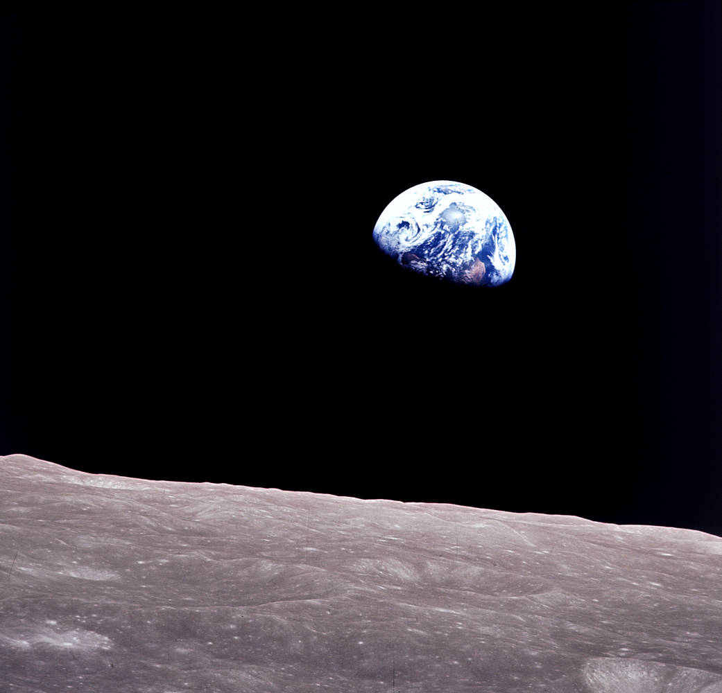
Anders, 90, the astronaut who captured the iconic Earthrise photograph, died on June 7, 2024, when the plane he was piloting crashed into the San Juan Channel.

Anders, 90, the astronaut who captured the iconic Earthrise photograph, died on June 7, 2024, when the plane he was piloting crashed into the San Juan Channel.
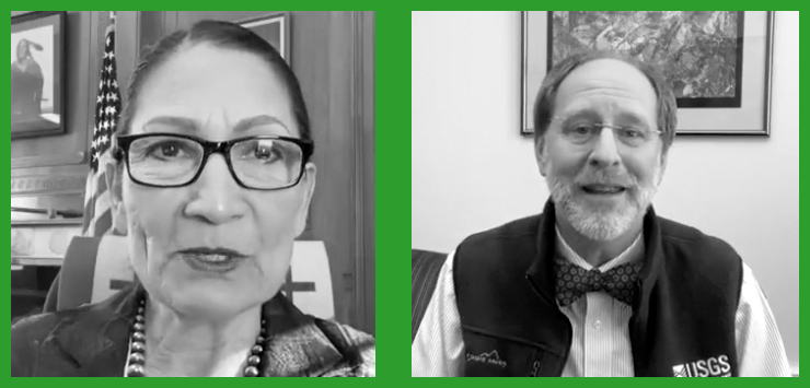
In an Instagram Live event titled “Guided by Science,” Deb Haaland, U.S. Secretary of the Interior, spoke with USGS Director Dr. David Applegate. The Landsat portion of that discussion is shared here.
A summary of the final activities of the 2018–2023 Landsat Science Team and a synopsis of the 2022 History of NASA and the Environment Symposium were among the topics covered in the most recent issue of NASA’s The Earth Observer.
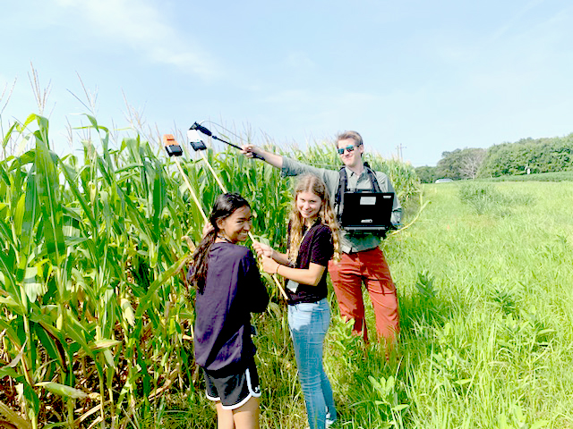
One way to better understand the science and technology behind Landsat’s spectral measurements is to build a spectrometer. This past summer, two local high school students did just that.

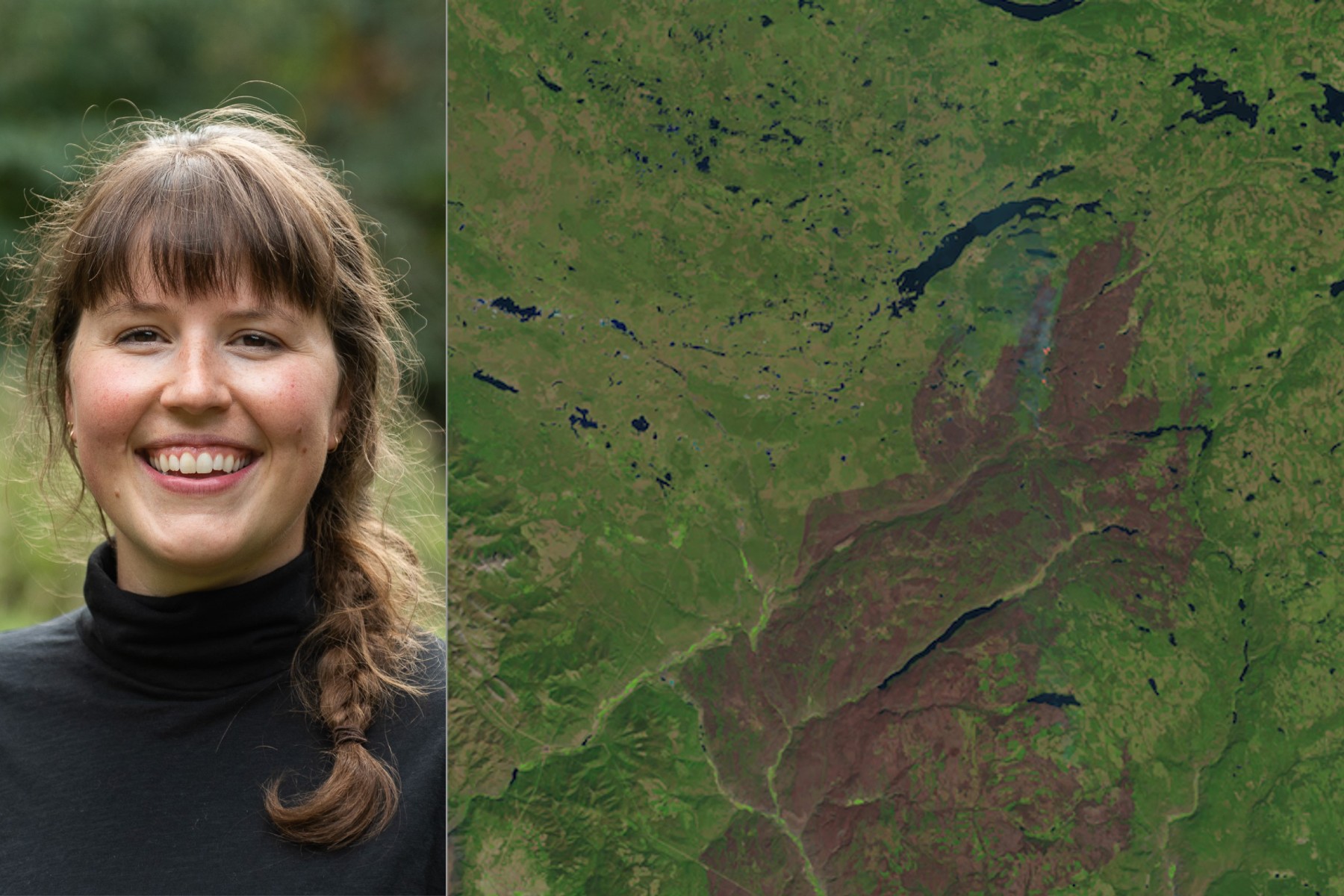
Bex Dunn is an Earth Observation Scientist at Geoscience Australia where she uses Landsat data to better understand wetlands.
Julia Barsi calibrates instruments on Landsat satellites.
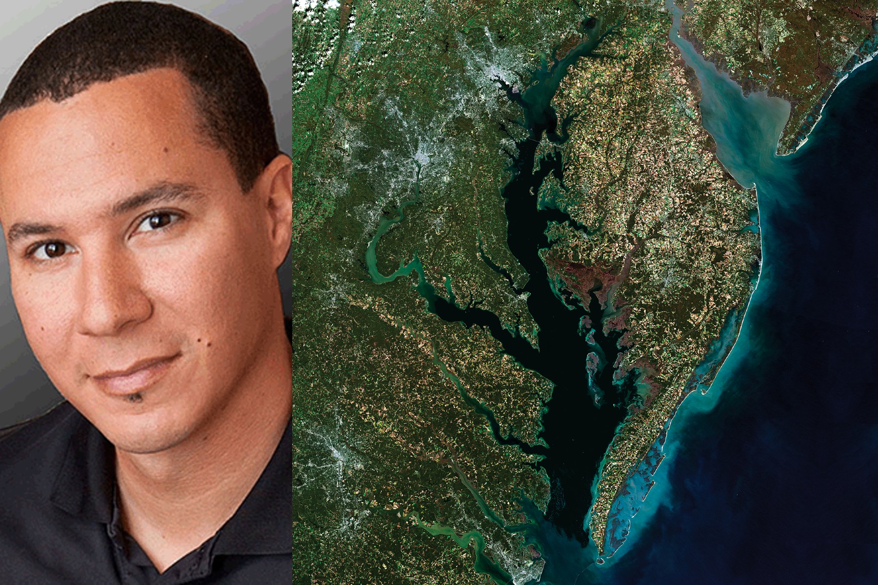
Washington-Allen is a longtime Landsat data user working towards drylands restoration and sustainability solutions.

Virginia T. Norwood, a founding figure in the field of satellite land imaging, died on Sunday, March 26, 2023, at age 96.
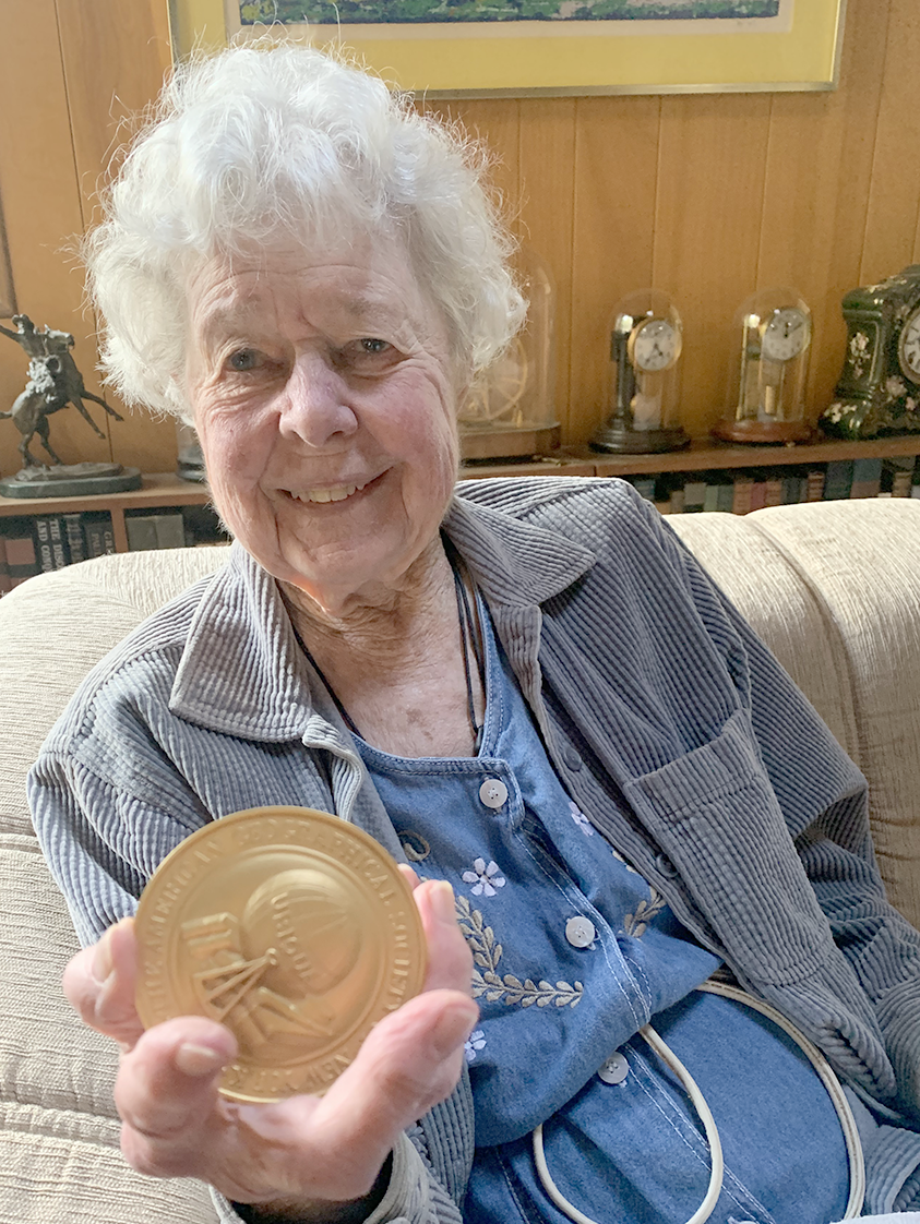
Virginia Norwood was recognized by AGS for her development of the first Landsat sensor and Karen Seto was recognized for her urban growth research which often relies on the long Landsat data archive.
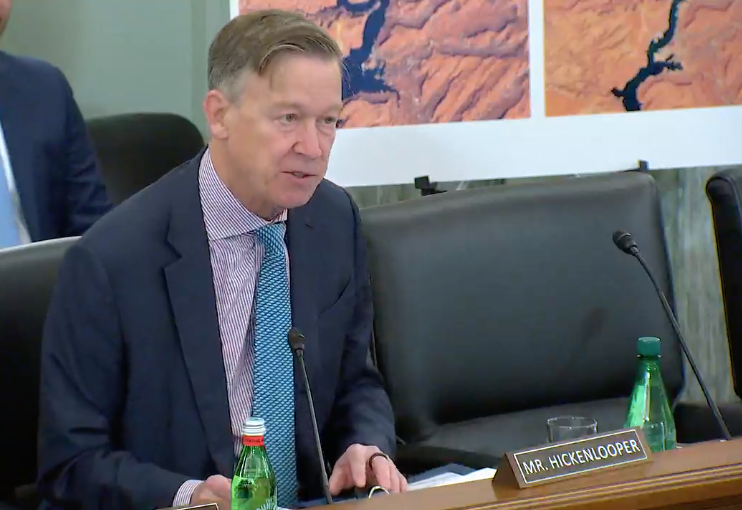
A U.S. Senate subcommittee hearing titled “Landsat at 50 & the Future of U.S. Satellite-based Earth Observation: took place on Thursday, Dec. 1, 2022.
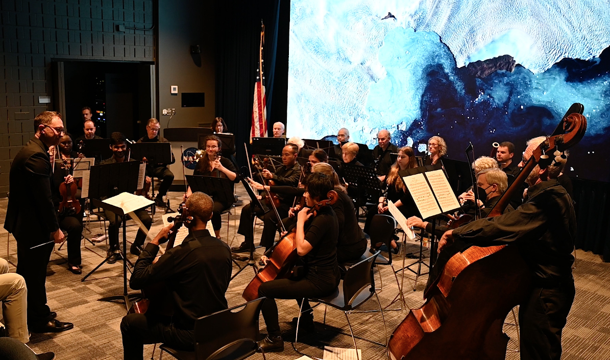
On Saturday, October 15, the Visitors Center at NASA’s Goddard Space Flight center presented an audio/visual event in celebration of Landsat’s 50th anniversary.

Nestled in the science-based information that park rangers share with visitors to Glacier Bay National Park and Preserve are insights from Landsat satellites and NASA climate scientists.
OSAM-1 Lead Systems Engineer Wendy Morgenstern discusses NASA’s On-orbit Servicing, Assembly, and Manufacturing 1 mission to robotically refuel Landsat 7, a satellite that wasn’t designed to be serviced.
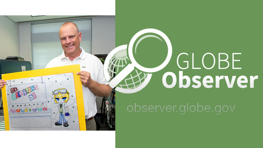
Data collected by citizen scientists like you helps land cover scientists evaluate the quality of the maps produced from satellites like Landsat.
I use Landsat data alongside other satellite and field data to map where and when crops like wheat are growing, to analyze different management practices including when crops are planted and harvested, to assess crop health and to forecast end of season yields.
We’ve processed more than 224,000 Landsat images of the boreal forest, from 1984 through 2020, all to understand changes in tree-cover extent.
In my Ph.D. research at McGill University in Canada, I used Landsat data to map fire progressions for Canadian wildfires.

Virginia T. Norwood, known as the person who could solve impossible problems, played a crucial role in the development of the first space-based multispectral scanner instrument that flew on Landsat 1 and made the mission a success.
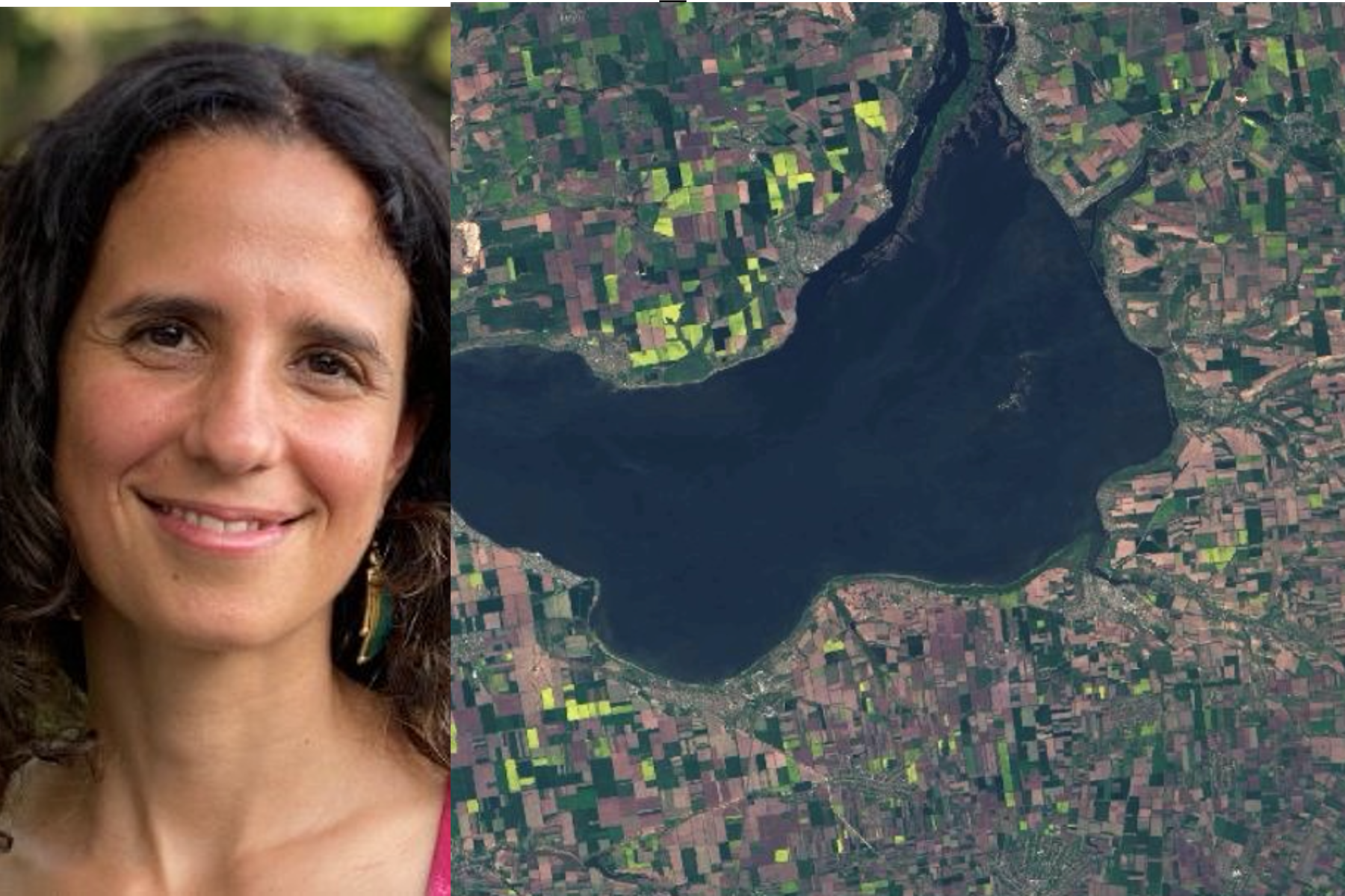
I use Landsat to explore wetland and aquatic ecosystem dynamics over time, studying how they may vary in a changing climate. Biotic and abiotic, everything on Earth has its own connection.
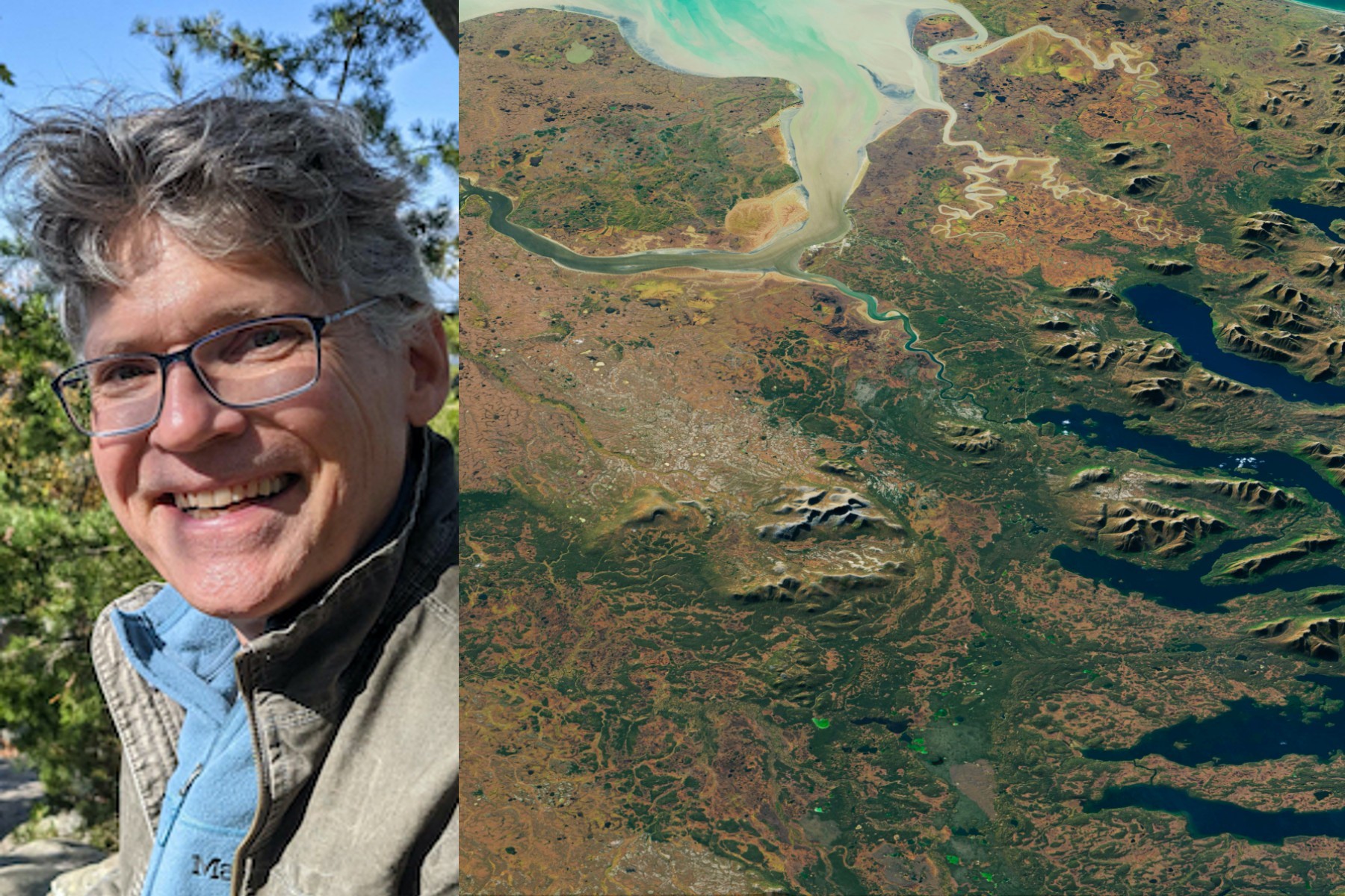
I use Landsat data as part of a joint U.S. Department of Agriculture/NASA effort to inventory all forest lands in interior Alaska.
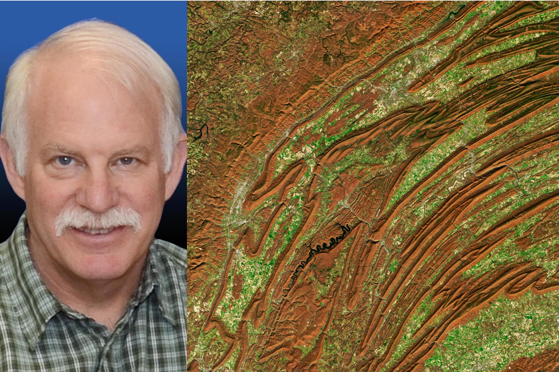
I worked at Goddard Space Flight Center for 43 years. A great deal of my career was spent engaged in the Landsat program.

In recognition of Earth Day, NASA is highlighting two interns advancing the well-being of our planet through their work with the Landsat team.
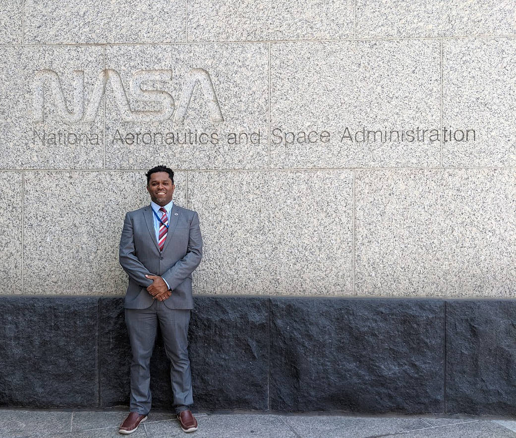
Get to know Emil Cherrington, a scientist and Landsat data user.

Get to know Nikki Tulley, an Assistant Research Scientist at NASA’s Ames Research Center and Landsat data user.
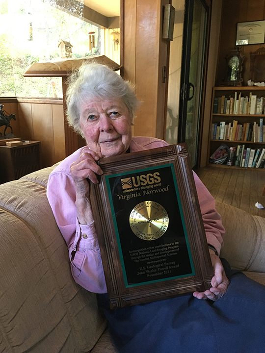
Virginia Norwood was awarded the USGS John Wesley Powell Award for her contributions to USGS—most notably the long-running Landsat program.

Wu wants anyone to be able to derive meaningful information from geospatial data like Landsat.
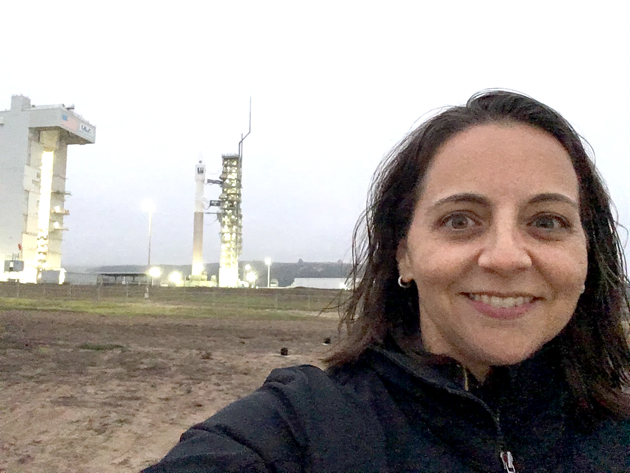
by Jim Cawley, NASA’s Kennedy Space Center September 22, 2021 • Landsat 9 is targeted for launch no earlier than Sept. 27, 2021, on a United Launch Alliance Atlas V
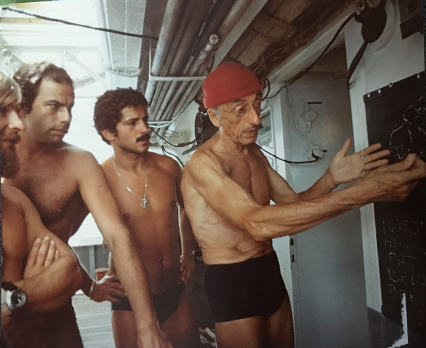
This video takes you to the summer of 1975 when Jacques Cousteau and his divers helped NASA determine if Landsat could measure the depth of shallow ocean waters.
This is the second in a series of five features introducing members of the Landsat 9 team.

This is the first in a series of five features introducing members of the Landsat 9 team.
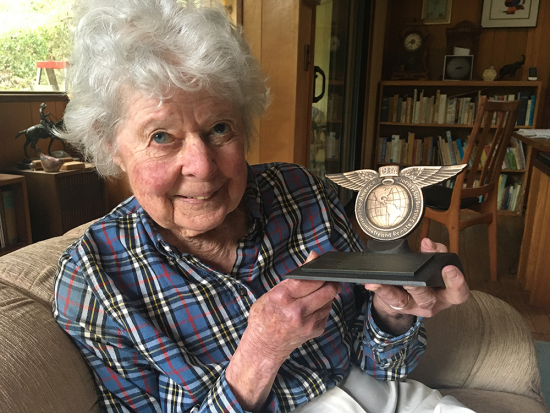
Top honors were bestowed upon Virginia Norwood in recognition of her far-reaching impact on the field of remote sensing.
The Harmonized Landsat Sentinel-2 (HLS) project offers daily, 30-meter global land surface data products to facilitate a wide range of terrestrial Earth science research.

Justin Braaten is a code wizard, helping everyone from wildlife ecologists to machine learning experts more easily use Landsat.
