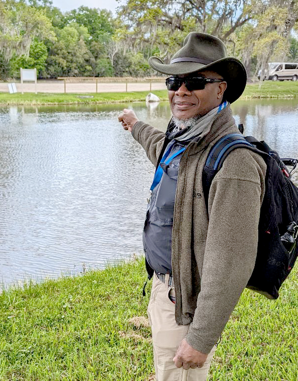
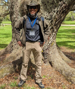
Dr. Robert Washington-Allen is an Associate Professor at the University of Nevada, Reno who uses active and passive remote sensing to examine landscape ecology issues.
Remotely sensed data are key inputs in Washington-Allen’s efforts to understand dryland landscapes and to protect pastoral peoples who rely on those landscapes.
Washington-Allen is a longtime Landsat data user. We recently had a chance to discuss his use of Landsat data:

Your research has focused heavily on the health of rangeland ecosystems. At what point along your career path did you first encounter Landsat satellite imagery?
As an graduate student at Utah State University, I took Dr. Neil West’s Advanced Vegetation Measurement course. We had to conduct a project to detect the impact of grazing on sagebrush steppe plant community composition. I used a single Landsat TM image of the Curlew Valley Grasslands in Idaho from our Utah Gap Analysis collection and a chronosequence of known stocking rates/treatments to detect a plant growth from compositional shift (a threshold between shrubs and grasses in response to grazing). It was the first empirical landscape-level approach using remote sensing data to detect theoretical thresholds in dryland ecosystems.
I later used a time series of Landsat data to look at the impacts of endemic drought on the food security and drought response of indigenous communities on the Bolivian Altiplano for my graduate research work.
Can you describe how Landsat has informed your research? Would you say that Landsat has been instrumental in supporting your research?
Landsat totally influenced my past, present, and future research. I have concentrated on time series analyses starting with 1972 MSS data. I standardized a 26-year time series of Landsat MSS through Landsat TM from 1972 to 1998 and generated a number of indicators that told me about changes in vegetation production, plant functional type or growth form change in composition, soil quality, soil erosion, and changes in thematic patches (i.e., shrubs & grasses, number, size, and configuration).
I now set these analyses in the context of ecohydrology and landscape ecology as concerns the leakiness of a landscape, wind & water erosion, and plant-herbivore interactions in drylands and the resulting pattern & process.
You and your colleagues have published some articles on modeling aboveground biomass in Mozambique using Landsat, Sentinel, and radar data. Do you believe that this approach to estimating aboveground biomass can be applied worldwide to help us better understand carbon budgets?
Yes. A Harmonized dataset of Landsat with Sentinel-1 would be great for generating updated biomass maps. We are conducting research examining how to estimate belowground biomass in drylands using ground penetrating radar, across both cultivated areas and rangelands. In a number of these studies, Landsat serves to impute the indicators of choice using a machine-learning approach.
In drylands, most of the carbon is belowground, but we spend most of the time monitoring the above-ground biomass. This is the next frontier in dryland’s research.
How has climate change influenced the health and/or degradation of rangelands?
This is a major issue for drylands as they are highly dynamic ecosystems but we have been treating them as static. In 2009, researchers basically showed that drylands are the fastest moving ecosystems, and more recently (2015, 2020) that drylands are becoming increasingly warmer with increasing temperatures and accompanying rangeland expansion as they are becoming more arid—these threshold shifts of arid regimes are potentially leading to the fundamental degradation of drylands.
What future role do you see for Landsat data as we continue to understand and mitigate the ecological impacts of climate change?
Landsat is the primary platform for cross-scale analysis of various ecosystems, but it has to keep up with advancing technologies in sensor design, including expansion of the optical range.
Are there examples of specific Landsat-based applications that have been impactful for rangeland management?
Yes, for dryland states like Australia. The U.S. Rangeland Analysis Platform (RAP) is the first time that an operational platform with value-added indicators has captured the attention of the U.S. rangeland community.
Influential rangeland application publications suggested by Washington-Allen:

Tueller, Paul T. 1989. “Remote sensing technology for rangeland management applications.” Rangeland Ecology & Management/Journal of Range Management Archives 42(6): 442-453.
Pickup, G. 1990. “Remote sensing of landscape processes” in R. J. Hobbs and H. A. Mooney, editors. Remote sensing of biosphere functioning. Springer-Verlag, New York, New York, USA. Pages 221-247.
Okin, Gregory S. 2010. “The contribution of brown vegetation to vegetation dynamics.” Ecology 91 (3):743-755.
Q&A conducted by Laura E.P. Rocchio and Ellie I.L. McGinty
Responses have been slightly edited and condensed for clarity.


