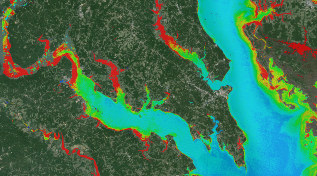
New Tool Provides Rapid Evaluation of Water Quality
A combination of Landsat and Sentinel-2 imagery, NASA near real-time data, and machine learning provides near real-time access to high-resolution water quality maps.

A combination of Landsat and Sentinel-2 imagery, NASA near real-time data, and machine learning provides near real-time access to high-resolution water quality maps.

In the FY23 Aeronautics and Space Report released on May 23, 2024, a multitude of Federal agencies report work informed by Landsat data.
More water is taken from the Colorado River than it has to give. Better water use accounting made possible by Landsat provides needed guidance for difficult water use decisions.
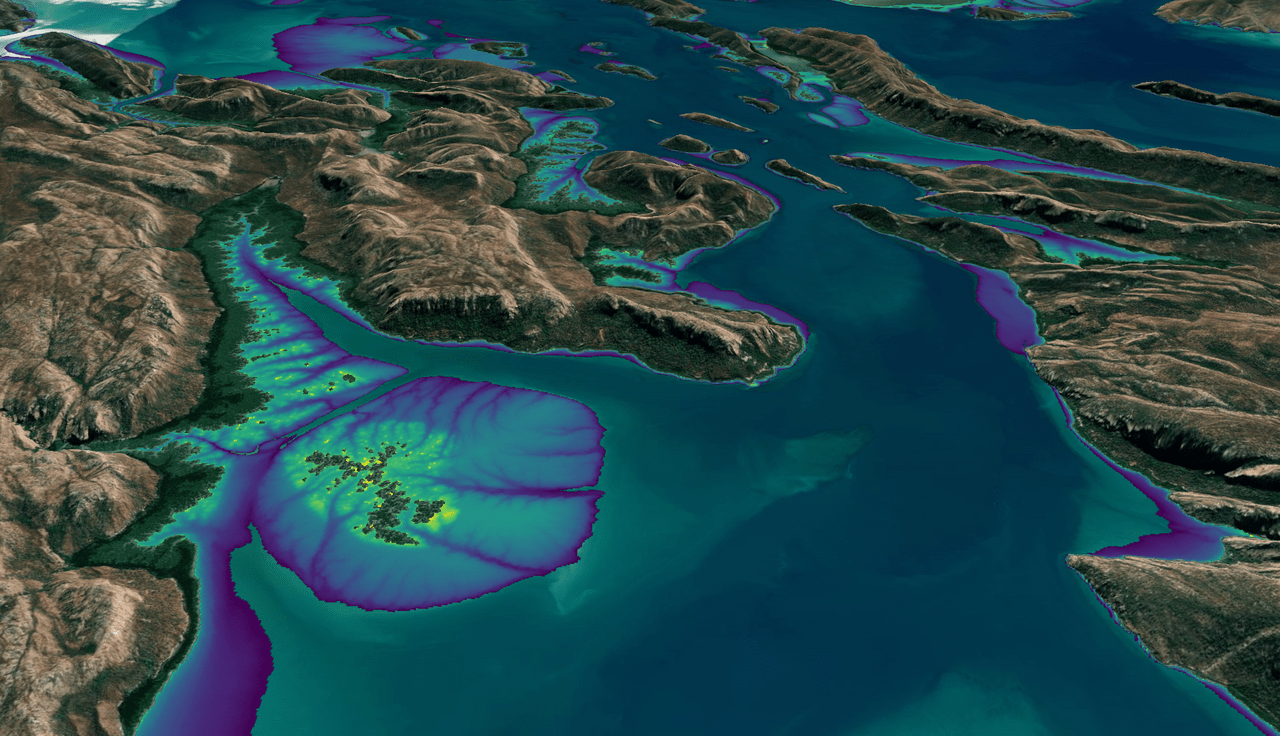
This month, the Digital Earth Australia (DEA) team released a new Landsat and Sentinel-2 based intertidal data product. The new data set characterizes the tidal shoreline zone of Australia in more detail than ever before.
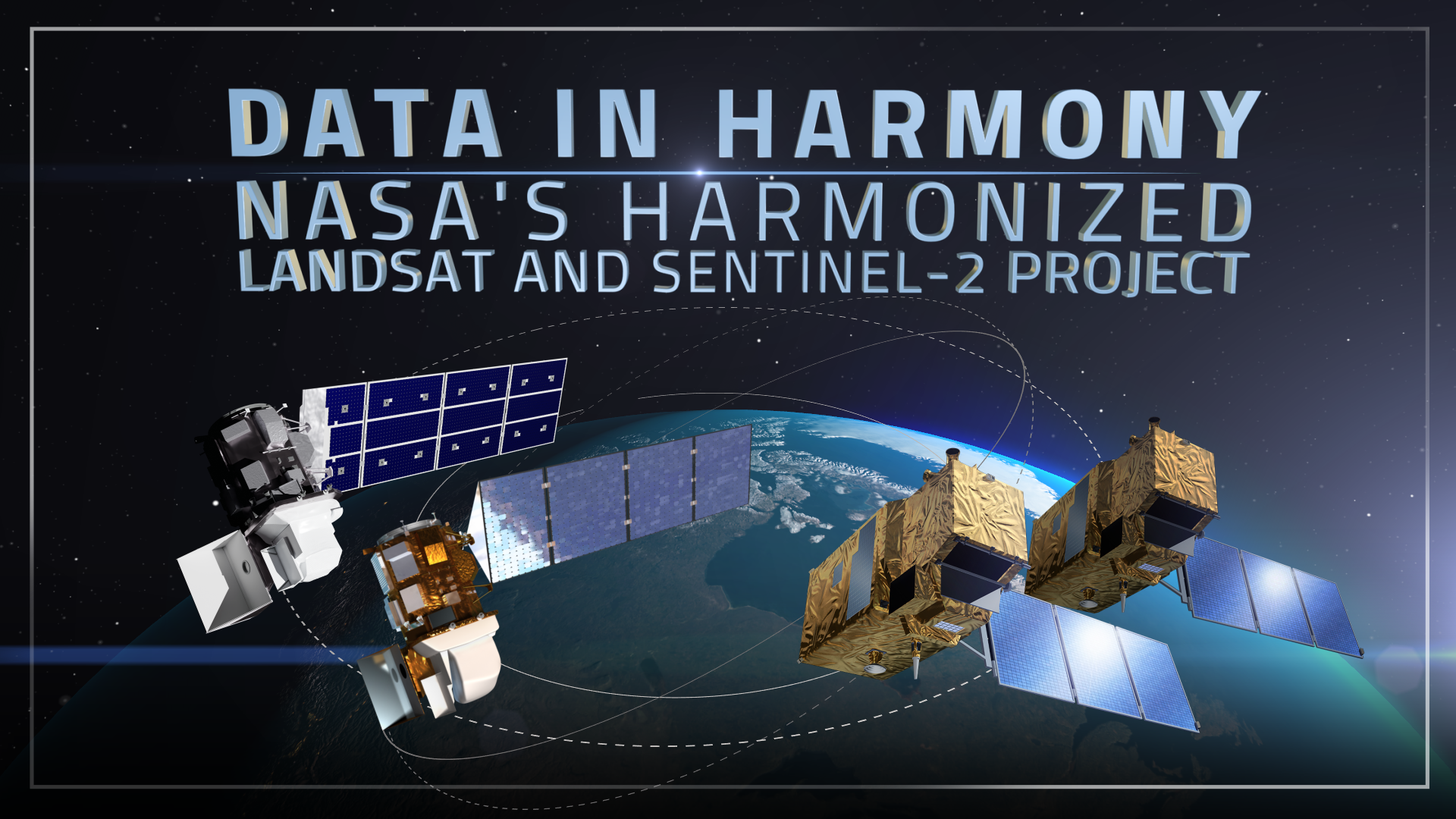
NASA’s Harmonized Landsat and Sentinel-2 (HLS) project is a groundbreaking initiative that combines data from Landsats 8 & 9 with the European Space Agency’s Sentinel-2A & 2B satellites.
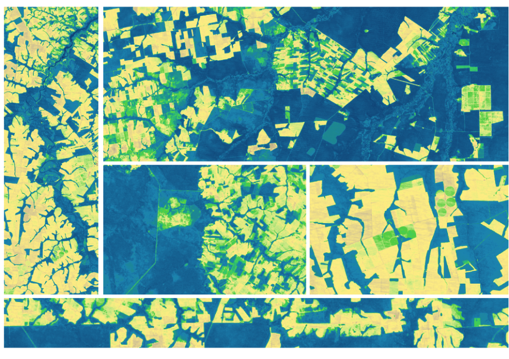
The research teams who help sustain the largest freshwater reserve in the world are developing a new tool to promote more resilient farming systems in Brazil. The goal is to help farmers better handle changes in the water cycle, deal with droughts, and adapt to a changing climate.
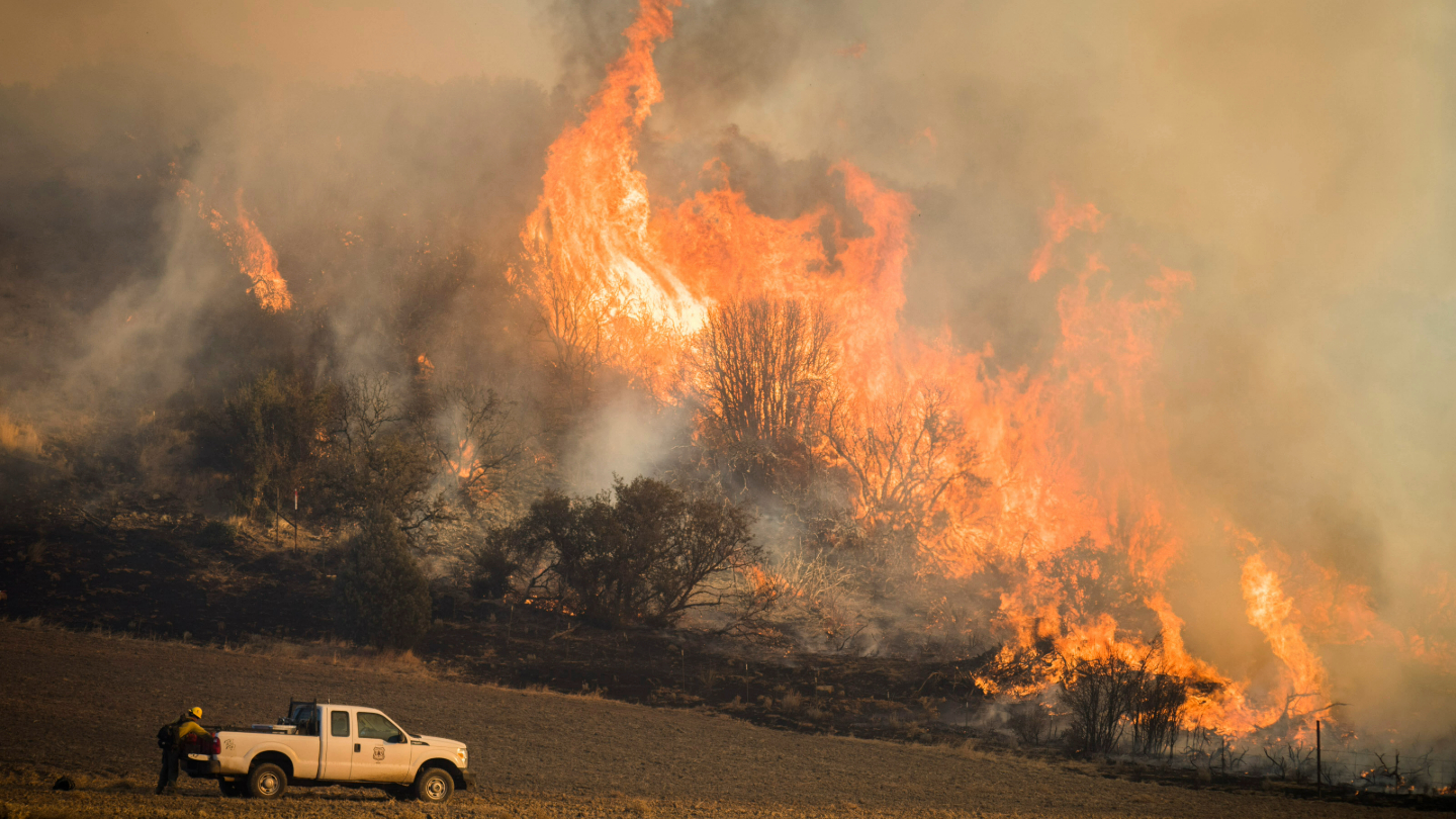
A new study using NASA satellite data reveals how drought affects the recovery of western ecosystems from fire, a result that could provide meaningful information for conservation efforts.
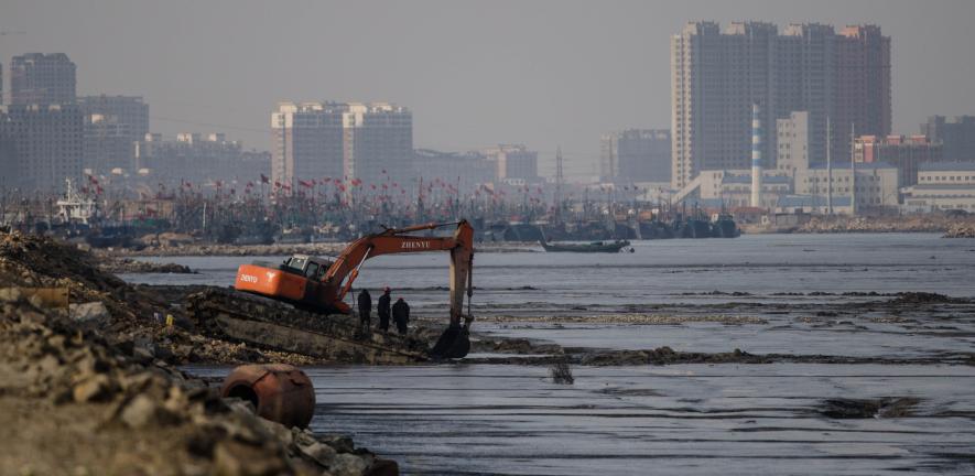
A delve into Landsat-based studies revealing the environmental impact of river mining, the decline in global lake water levels, and the risks of rising sea levels on coastal habitats. Plus, a sneak peek at what the future of the Landsat program holds with the introduction of Landsat Next.
As the world looks for sustainable solutions, a system tapping into Landsat data for water management has passed a critical test.
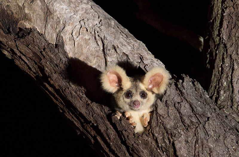
Using satellite data, including Landsat, Griffith University researchers found that less than 13 percent of the endangered greater gliders’ habitat in Queensland is protected.
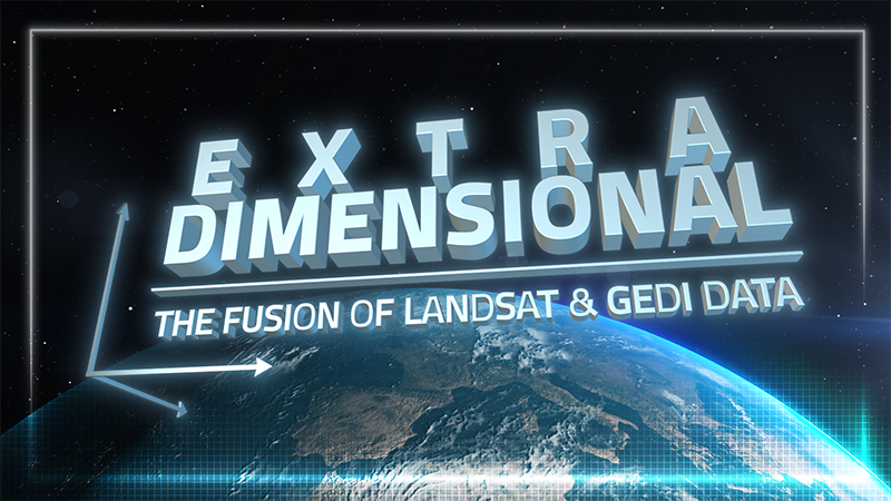
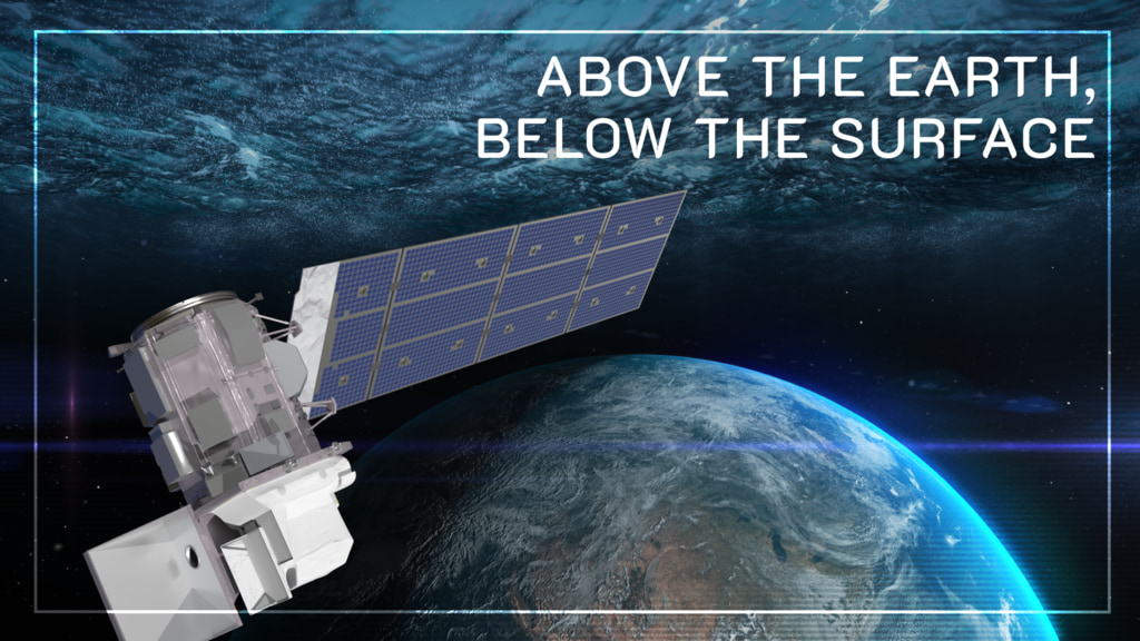
When Landsat’s vast decades-long archive is combined with data from other instruments it can provide amazing insight into how our world is evolving with us and around us. Here are some of the ways Landsat and GEDI data are being harnessed to help us better understand the complex relationship between humanity and nature.
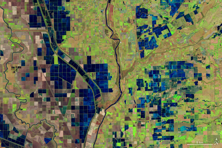
Safeguarding freshwater resources is crucial, and while scientists use a variety of ground-based techniques to gauge water quality, the Landsat program has provided water quality data from orbit for decades.
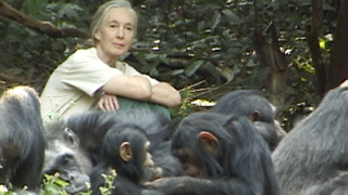
The Jane Goodall Institute has been working with NASA and using Earth science satellite imagery and data—including Landsat (NASA/USGS)—in its chimpanzee and forest conservation efforts in Africa, particularly the Gombe region.

Bex Dunn is an Earth Observation Scientist at Geoscience Australia where she uses Landsat data to better understand wetlands.
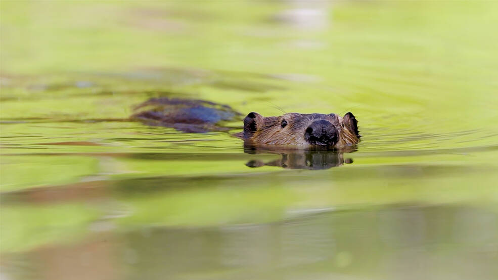
Satellites like Landsat are quantifying how beavers can have an outsized and positive impact on local ecosystems.
Practitioners managing the wellbeing of wetlands have a new tool at their disposal. The Wetland Insight Tool, developed by Geoscience Australia, provides a visual summary of 35+ years of wetland dynamics.
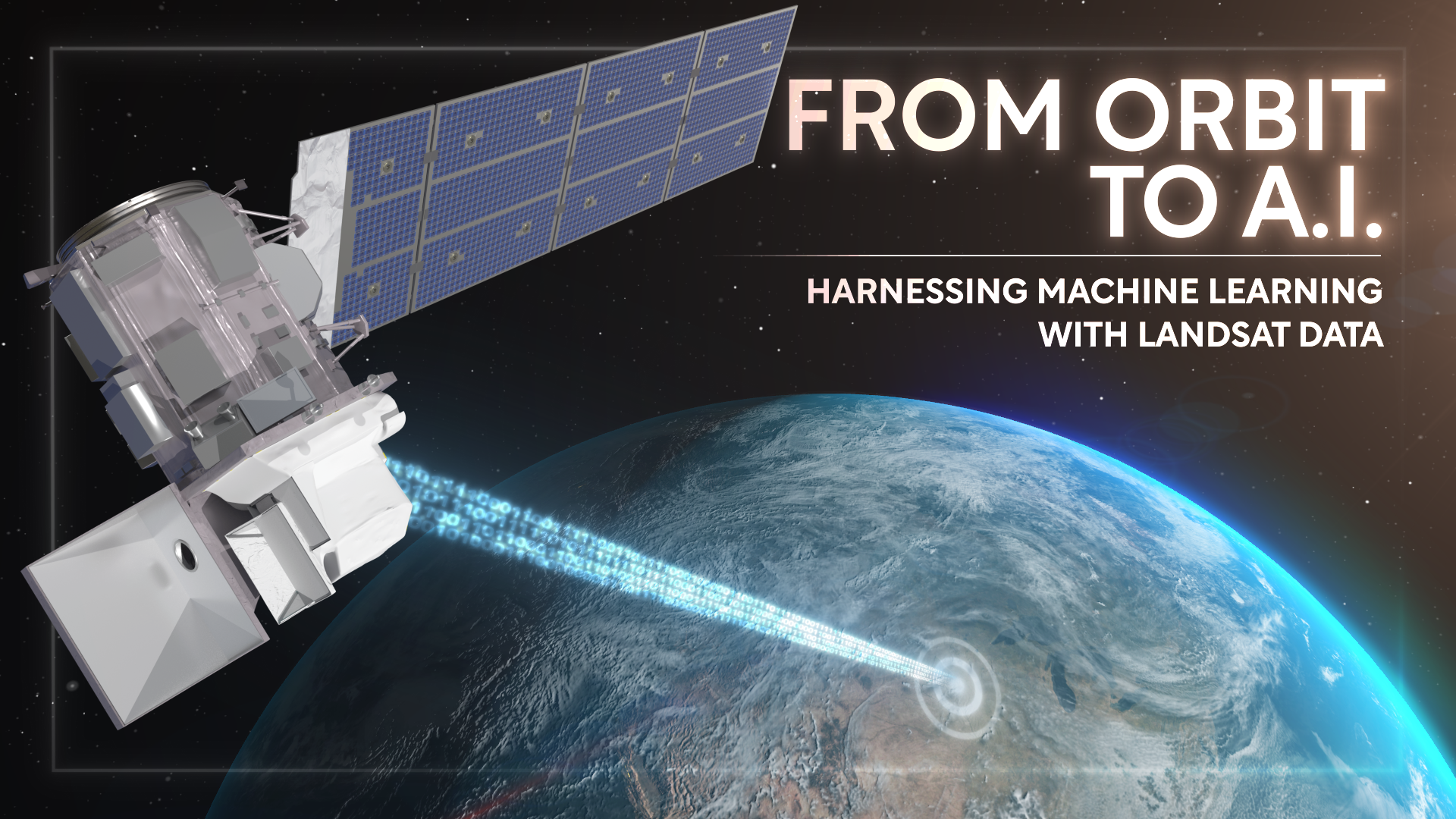
Over the past few years, machine learning techniques have been increasingly used to analyze the vast amount of data collected by the Landsat mission, which has been circling the globe for over 50 years.
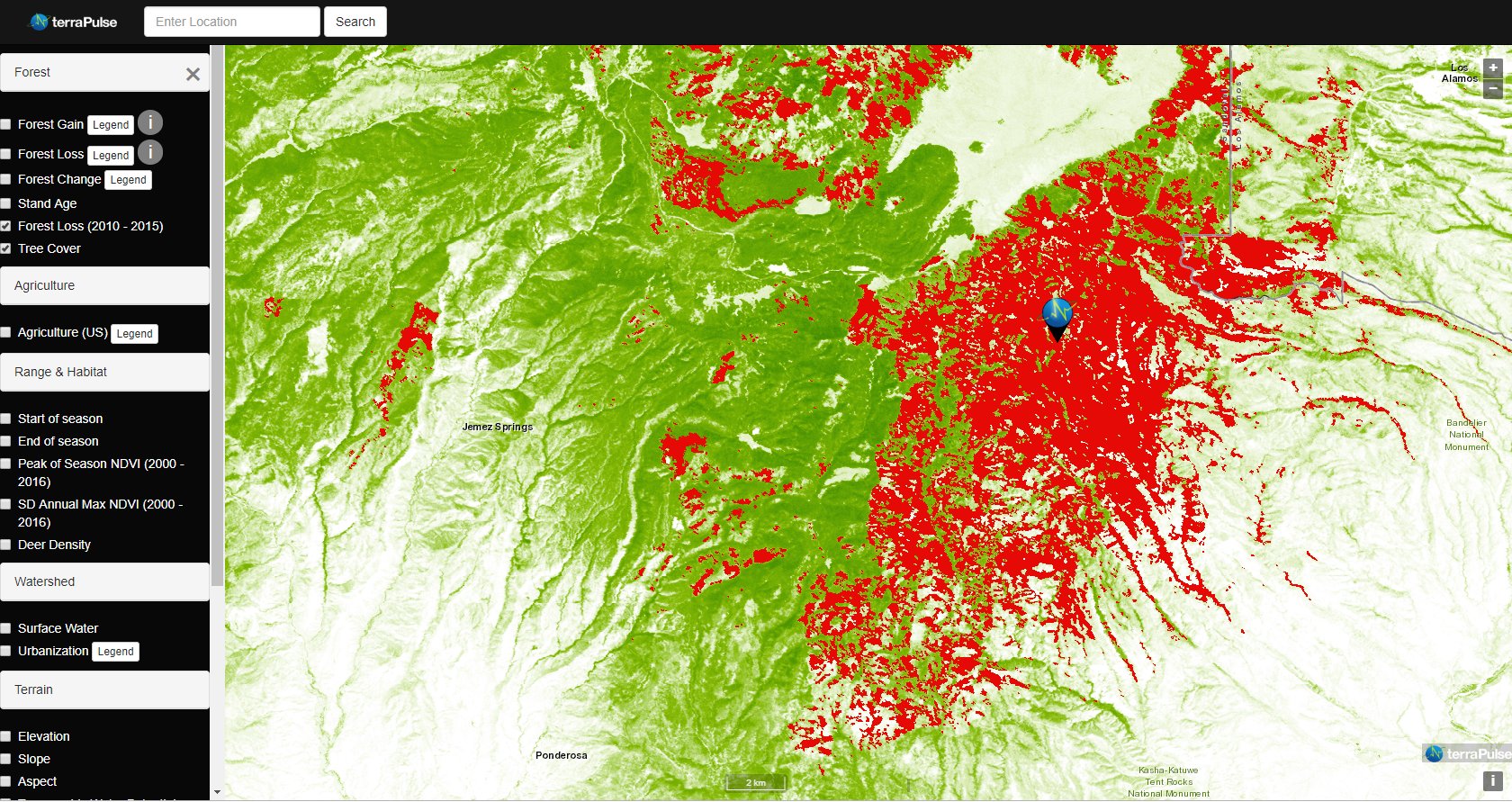
Applying AI to Earth data—including Landsat—helps terraPulse reveal sustainable options for farming, reforestation, and land management.
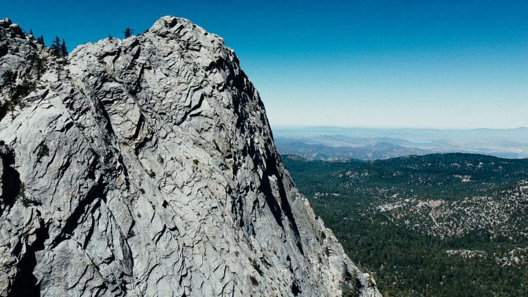
Washington-Allen is a longtime Landsat data user working towards drylands restoration and sustainability solutions.
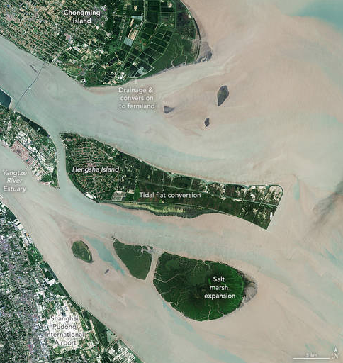
The world has lost 561 square miles (1,453 square kilometers) of salt marshes over the past 20 years.
New research uses Landsat observations and advanced computing to chronicle wetlands lost (and found) around the globe.
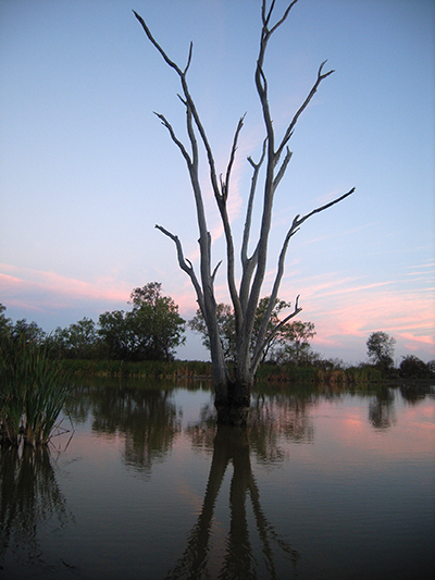
Nestled in the science-based information that park rangers share with visitors to Glacier Bay National Park and Preserve are insights from Landsat satellites and NASA climate scientists.
Scientists from NASA’s Goddard Space Flight Center and the University of Maryland, College Park, investigated how the acoustics of a forest can be a cost-effective indicator of its health—and Landsat allowed them to see back in time.
Landsat has shown that wildfires and climbing temperatures have caused a 6.7 percent decline in California tree cover since 1985.
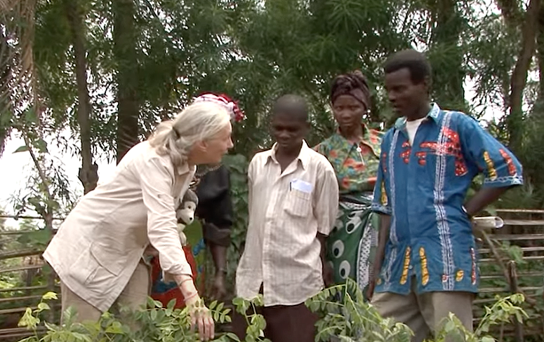
The Jane Goodall Institute (JGI) uses satellite observations, including data from the NASA and USGS Landsat satellite series, in their efforts to work in partnership with local residents to understand and protect chimpanzee habitats.
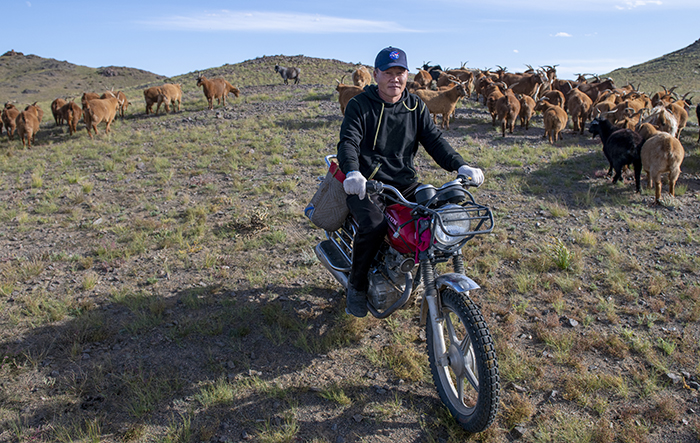
Landsat allows herders to monitor vast expanses of desert in a way traditional field monitoring can’t support.
An analysis of over a million Landsat images has revealed that 4,000 square kilometres of tidal wetlands have been lost globally over twenty years.
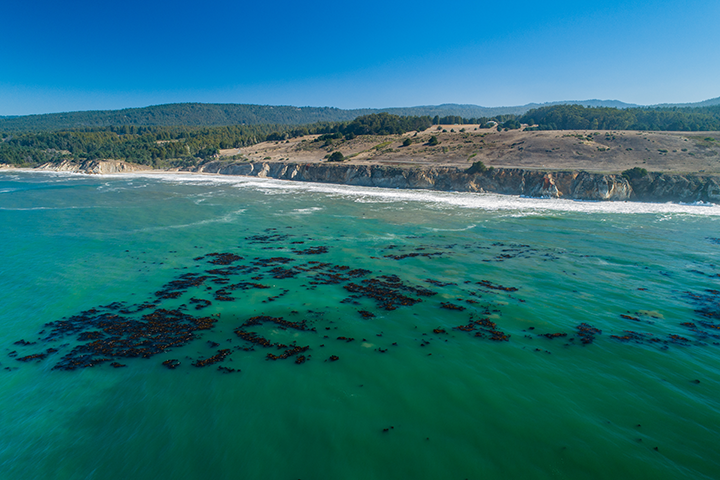
The Landsat-informed kelpwatch.org hosts the world’s largest open-source dynamic map of kelp forest canopy.
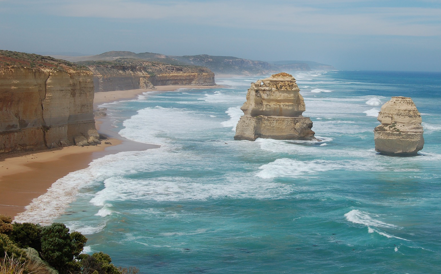
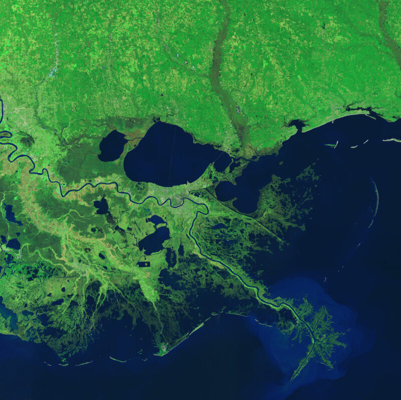
Using decades of Landsat satellite imagery, scientists at Geoscience Australia have mapped annual shoreline locations for the entirety of Australia going back more than thirty years.
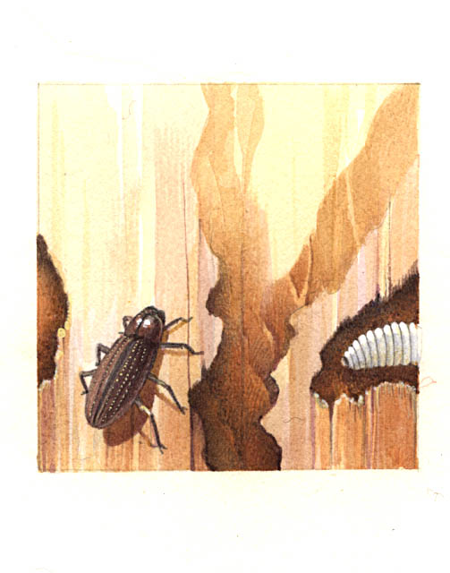
Fine-tuning remote sensing to protect forests from the spread of dangerous critters.
The recent increase of Sphagnum mosses over portions of the northern peatlands known as wet aapa mires can be detected from Landsat satellite data.
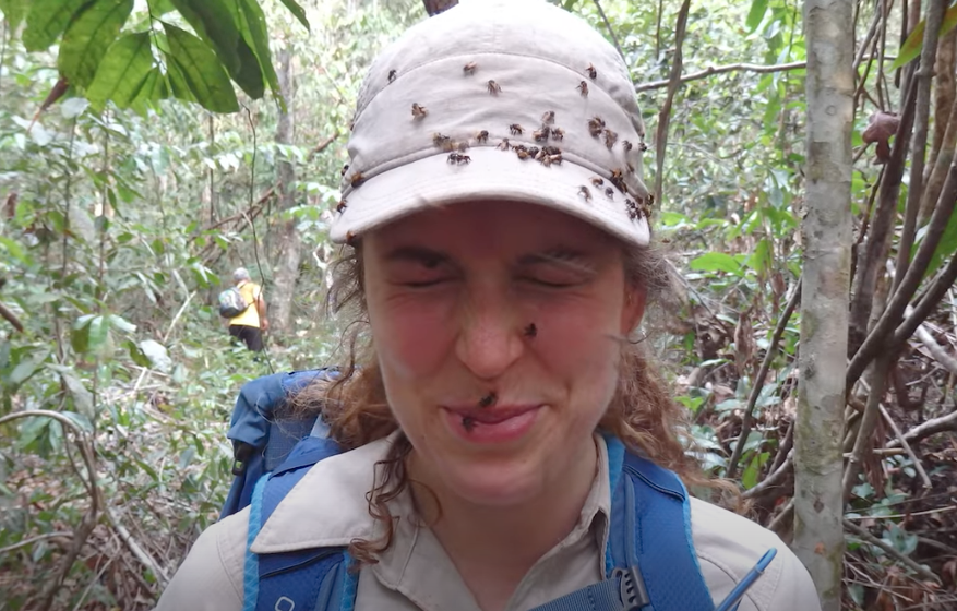
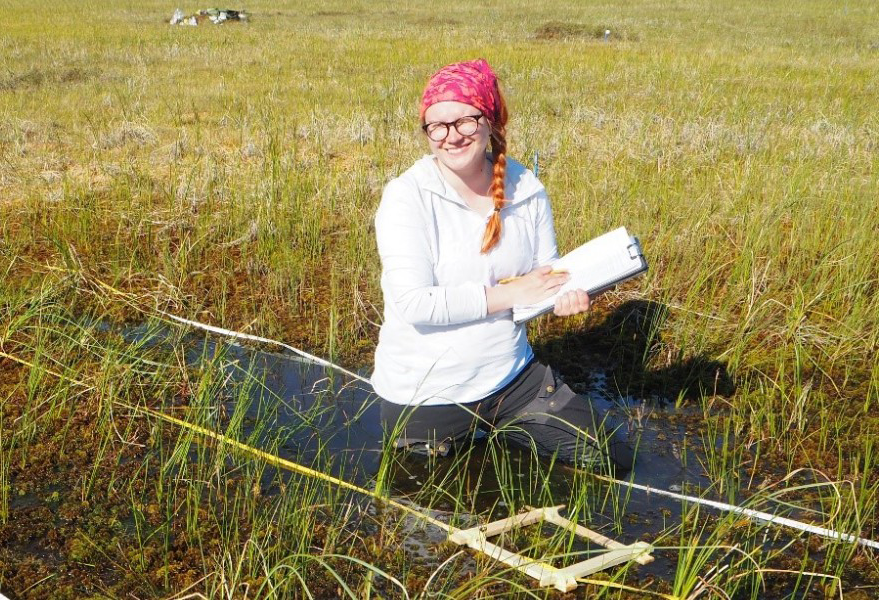
Field work conducted in northern Alaska is being used in concert with the Landsat satellite data record in an effort to better understand the impacts of climate change on the Arctic.
Remote sensing measurements using Landsat can help assess the effectiveness of various restoration interventions.
