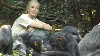
For decades, satellites have measured dramatic changes in the world’s forests. These eyes in the sky provide timely information on environmental change and human activity in forests, especially in remote ones. The Jane Goodall Institute has been working with NASA and using Earth science satellite imagery and data [including NASA/USGS Landsat] in its chimpanzee and forest conservation efforts in Africa, particularly the Gombe region.
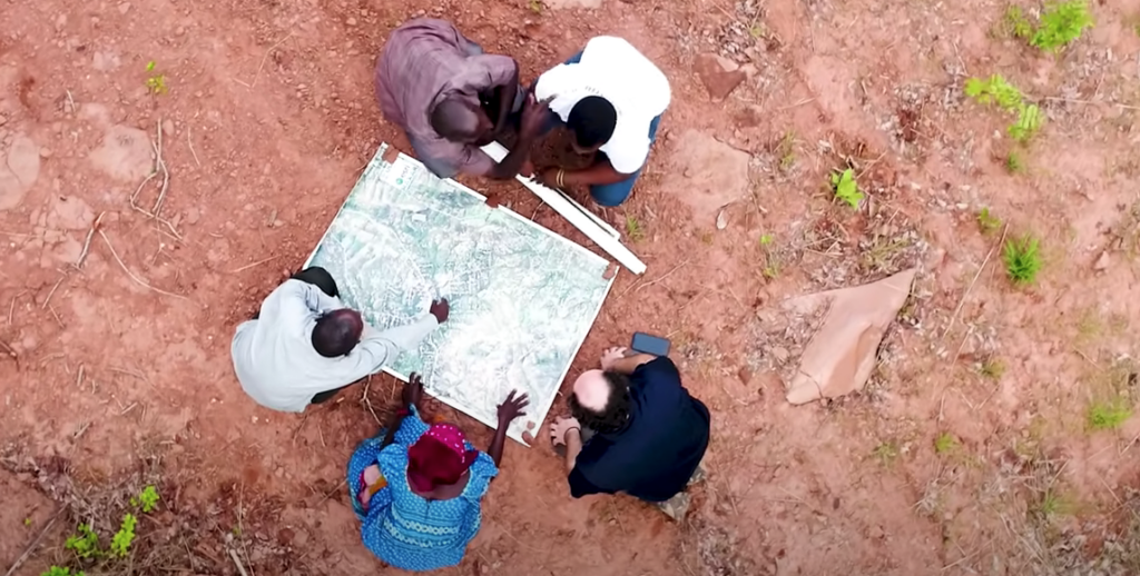
The observations and analyses from above aid Goodall’s TACARE program — a community-led approach to conserving the environment while improving and enriching the lives of people who live nearby. Such efforts are crucial to protecting the planet’s biodiversity and achieving sustainable human development of the landscape.
[The chimpanzee habitat suitability model, developed with support from NASA and the University of Maryland, includes more than a dozen variables directly extracted from Landsat satellite imagery.]
Learn more in this video:
Earth-observing satellites like Landsat have documented the shrinking of chimpanzee habitat, Africa’s equatorial forest belt. The Jane Goodall Institute uses Landsat and other satellite data to empower local communities to drive conservation on their own land by creating habitat suitability maps for chimpanzees. Mobile apps also bring in data in real-time so communities can protect their village forest reserves, and create land use plans for watersheds, people, and chimpanzees. After years of forest loss, the last few decades have seen habitats recovering. Video credit: Aries Keck & Jefferson Beck, NASA. Conservation dashboards created with support from NASA, The University of Maryland, Esri, Maxar, and the US Agency for International Development. Video footage: Courtesy of Jane Goodall Institute/Lilian Pintea
"Science and technologies, especially satellite imagery, are absolutely essential because people's livelihoods, natural resources, and biodiversity are connected to each other. Satellite imagery are our eyes in the sky, providing those insights and up-to-date information."
Dr. Lillian Pintea
VP of Conservation Science, Jane Goodall Institute


