
Landsat Observations Key Resource for Many Federal Agencies
In the FY23 Aeronautics and Space Report released on May 23, 2024, a multitude of Federal agencies report work informed by Landsat data.

In the FY23 Aeronautics and Space Report released on May 23, 2024, a multitude of Federal agencies report work informed by Landsat data.
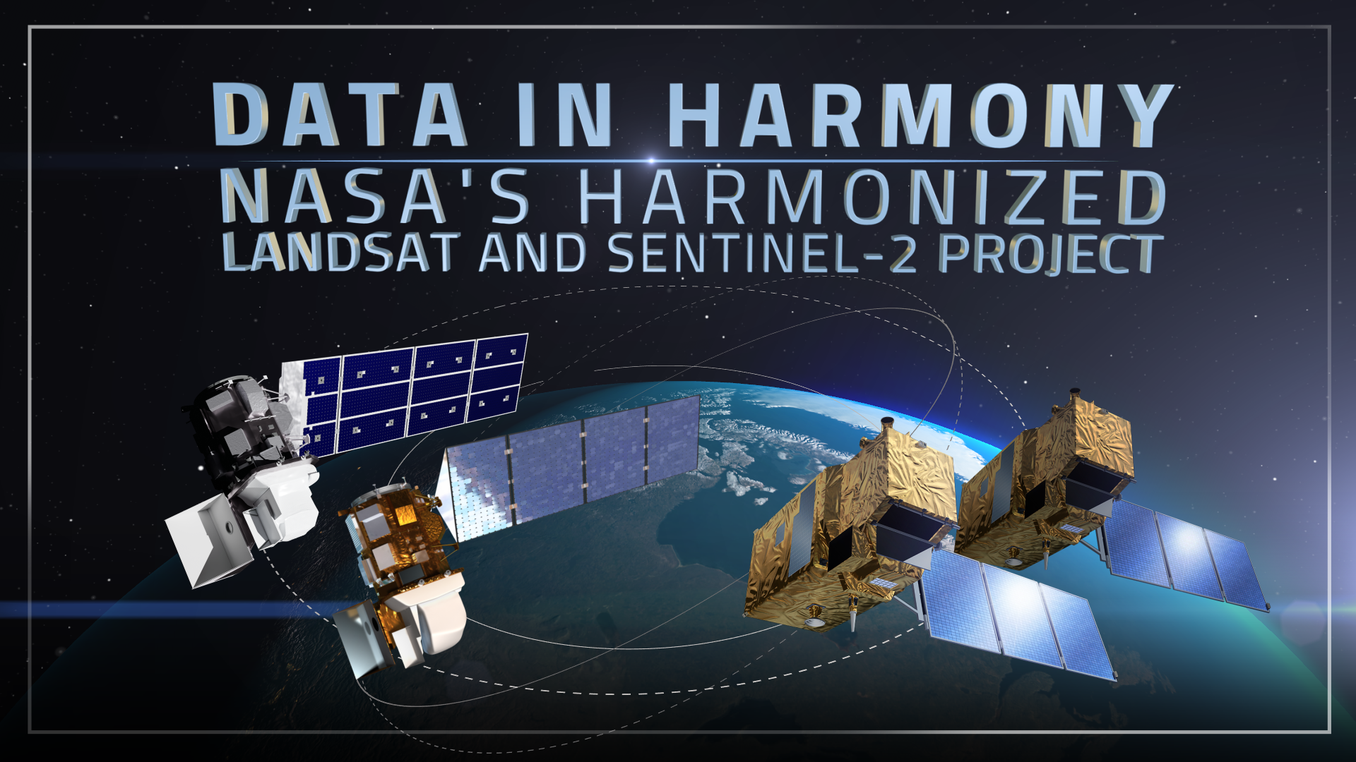
NASA’s Harmonized Landsat and Sentinel-2 (HLS) project is a groundbreaking initiative that combines data from Landsats 8 & 9 with the European Space Agency’s Sentinel-2A & 2B satellites.
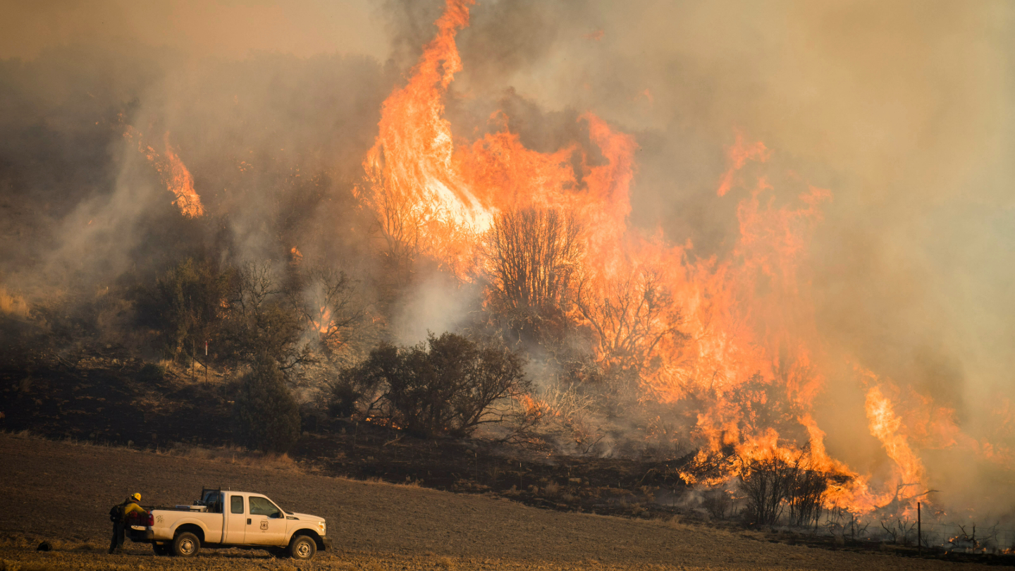
A new study using NASA satellite data reveals how drought affects the recovery of western ecosystems from fire, a result that could provide meaningful information for conservation efforts.
By fusing multispectral Landsat data with forest structure products from the GEDI mission, researchers and scientists have unlocked a deeper understanding of complex forest processes and dynamics and empowered land managers and policymakers to manage forests with greater effectiveness and sustainability.
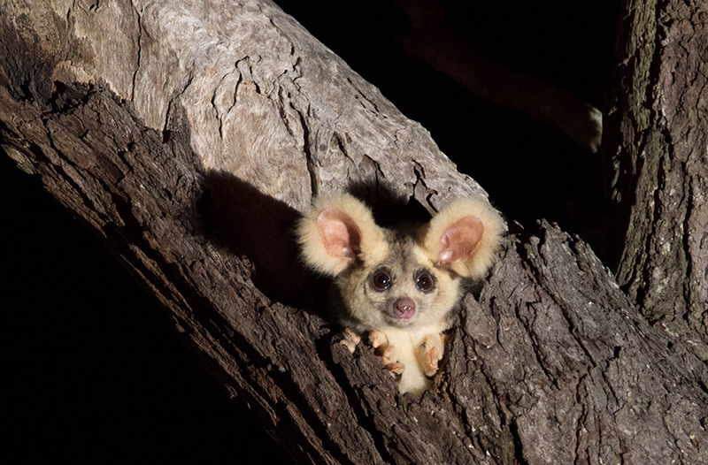
Using satellite data, including Landsat, Griffith University researchers found that less than 13 percent of the endangered greater gliders’ habitat in Queensland is protected.
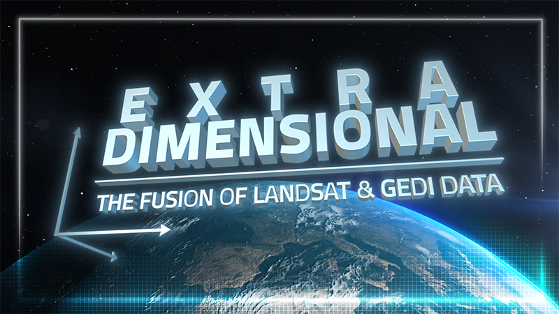
When Landsat’s vast decades-long archive is combined with data from other instruments it can provide amazing insight into how our world is evolving with us and around us. Here are some of the ways Landsat and GEDI data are being harnessed to help us better understand the complex relationship between humanity and nature.
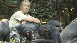
The Jane Goodall Institute has been working with NASA and using Earth science satellite imagery and data—including Landsat (NASA/USGS)—in its chimpanzee and forest conservation efforts in Africa, particularly the Gombe region.
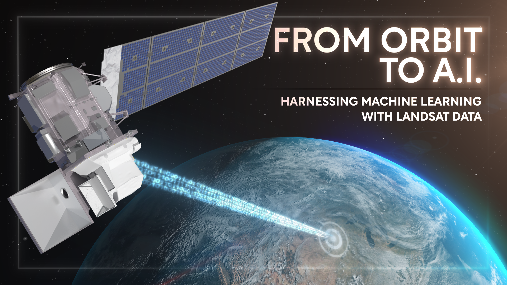
Over the past few years, machine learning techniques have been increasingly used to analyze the vast amount of data collected by the Landsat mission, which has been circling the globe for over 50 years.
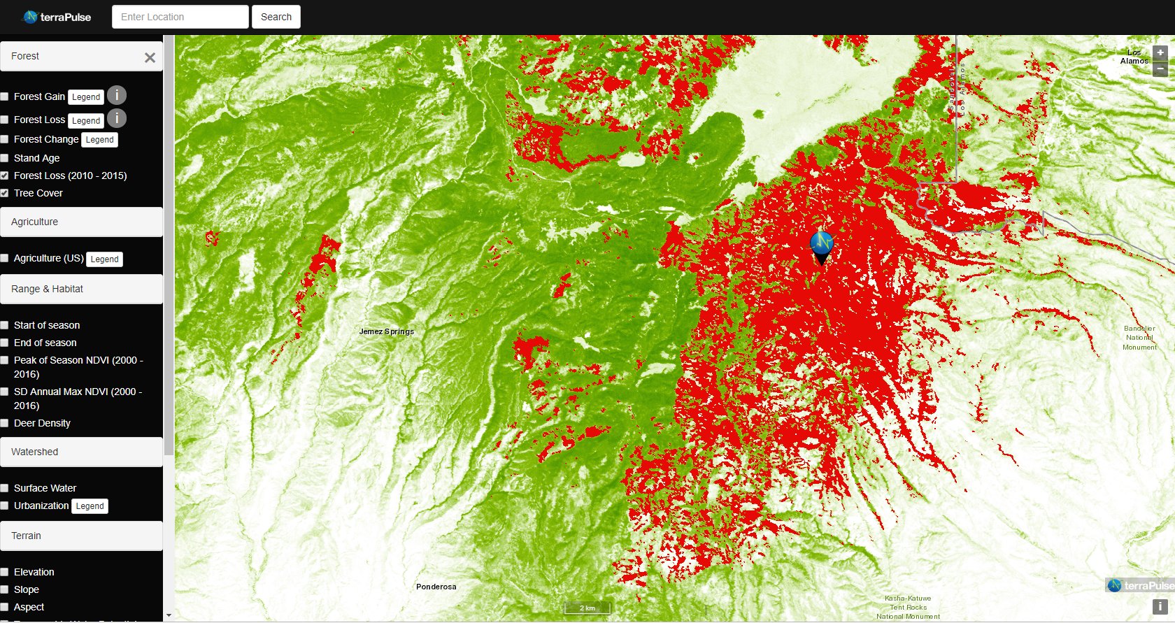
Applying AI to Earth data—including Landsat—helps terraPulse reveal sustainable options for farming, reforestation, and land management.
Merging data from multiple satellites, OPERA can help government agencies, disaster responders, and the public access data about natural and human impacts to the land.
Washington-Allen is a longtime Landsat data user working towards drylands restoration and sustainability solutions.
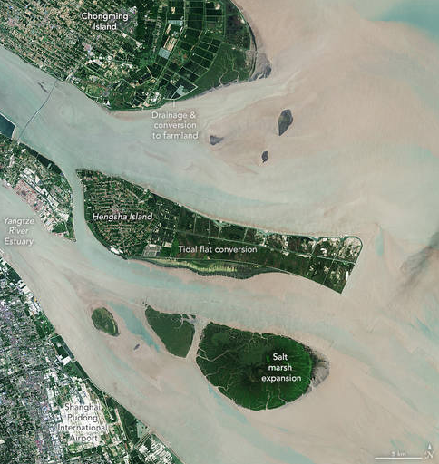
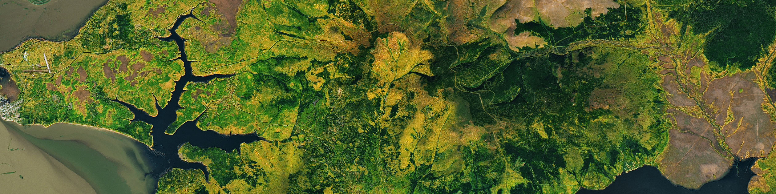
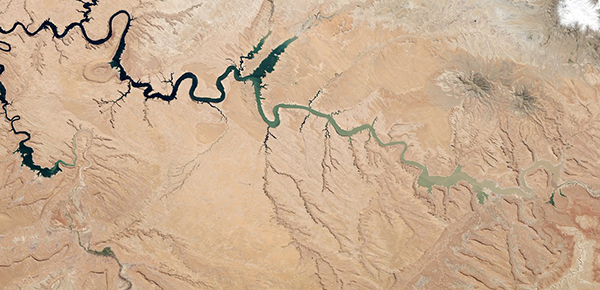
The world has lost 561 square miles (1,453 square kilometers) of salt marshes over the past 20 years.
Scientists from NASA’s Goddard Space Flight Center and the University of Maryland, College Park, investigated how the acoustics of a forest can be a cost-effective indicator of its health—and Landsat allowed them to see back in time.
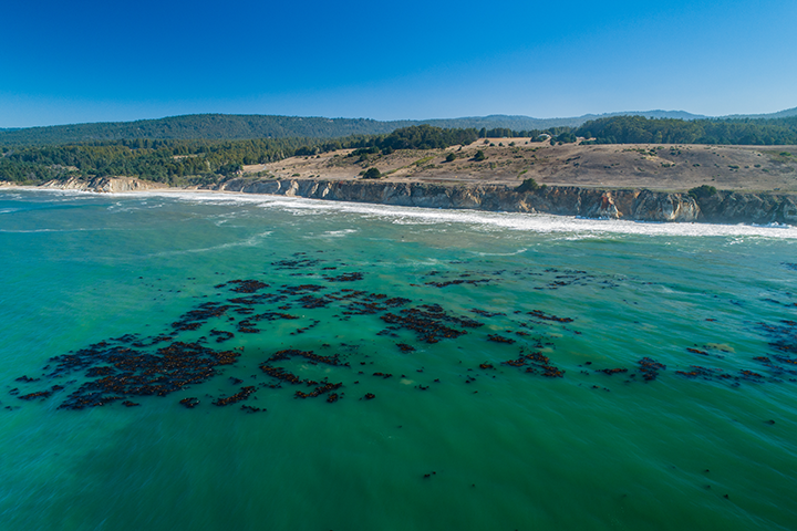
The Landsat-informed kelpwatch.org hosts the world’s largest open-source dynamic map of kelp forest canopy.
Fine-tuning remote sensing to protect forests from the spread of dangerous critters.
A new analysis of protected forests worldwide finds that protected forests are unlikely to be cut down when they are surrounded by intact forests.
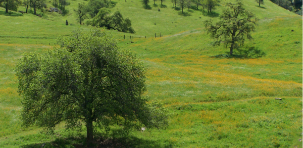
California’s blue oak woodlands have decreased by more than 1,200 square kilometers.
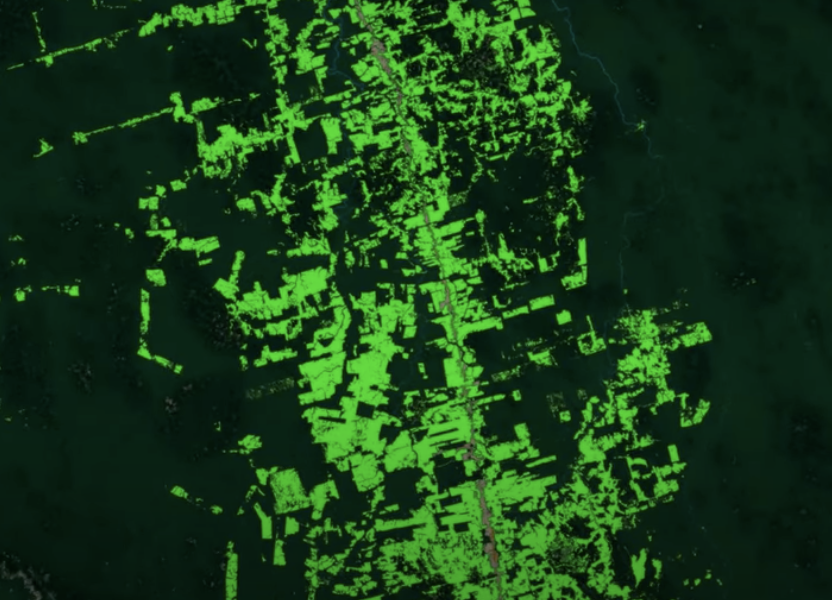
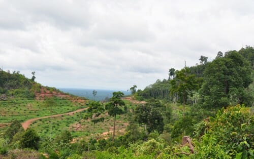
Scientists use Landsat to track changing patterns of deforestation that tells them how Amazonian agricultural practices have changed, from small family holdings to massive ranching operations.
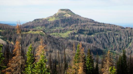
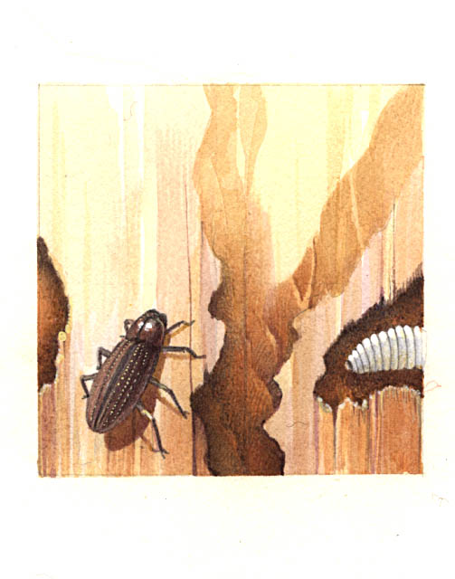
More than two decades worth of Landsat satellite imagery was used to quantify how beetle outbreaks have impacted high-elevations forests in Colorado, southern Wyoming, and northern New Mexico.
A new method, fusing data from many sources, has been developed for quantifying forests’ role as both carbon sink and carbon source.
Landsat-based Global Forest Watch alerts seem to be helping slow down forest loss in Africa.
Landsat shows some of the ways in which COVID-19 is changing the environment.
A new study reports a net increase of 5.38 petagrams of forest biomass between 1984 and 2016; carbon-wise, that is equivalent to a train of loaded coal cars long enough to wrap itself around Earth nearly 34 times.
Landsat and ICESat-2 satellite data have made it possible for scientists to develop maps showing the “quality” of tropical forests.
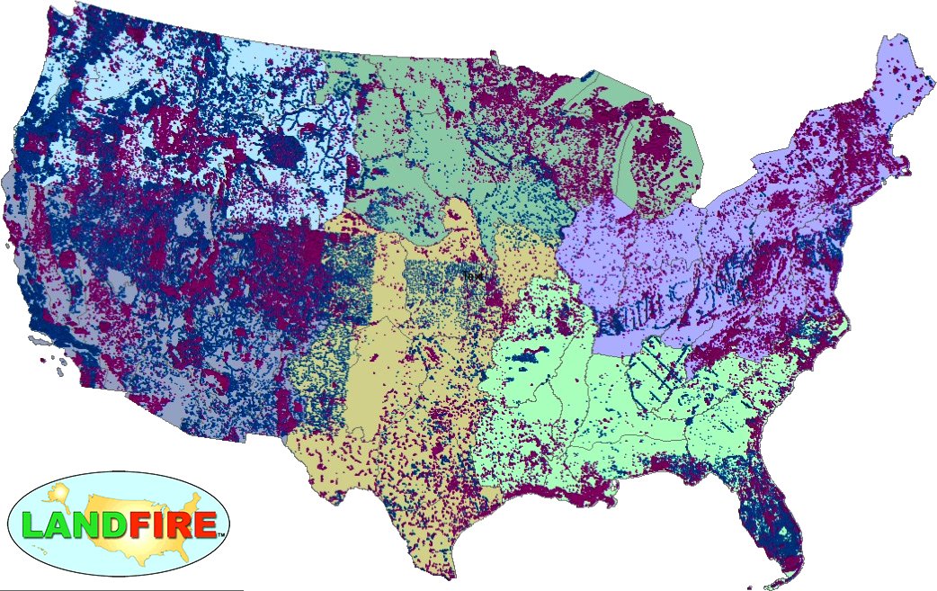
LANDFIRE has released its Remap dataset; new techniques and new data provide significant improvement.
A team of Boise State researchers is helping forecast tropical forest recovery from deforestation using Landsat satellite data.
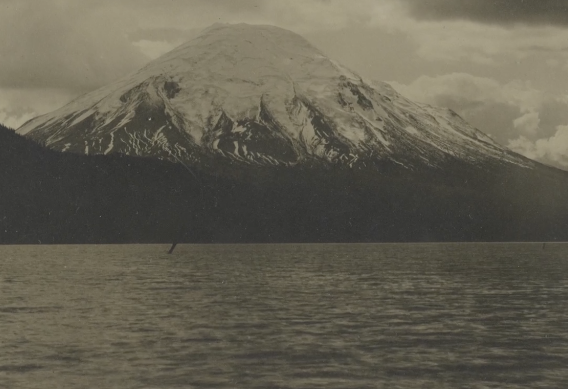
Landsat data (since 1972) is helping scientists Sean Healey and Zhiqiang Yang of the Rocky Mountain Research Station (U.S. Forest Service) study the long-term impact of the May 18, 1980, eruption of Mount St. Helens.
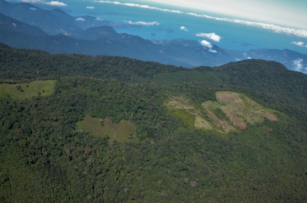
Considered one of the world’s richest and most endangered forests, the Atlantic rainforest occupies 15% of Brazil’s landmass in an area that is home to 72% of the population.
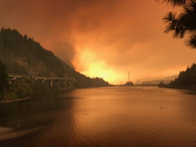
Fires in forested watersheds that support drinking water supplies can introduce contaminants that overwhelm current treatment capabilities. Earth observation data are helping.
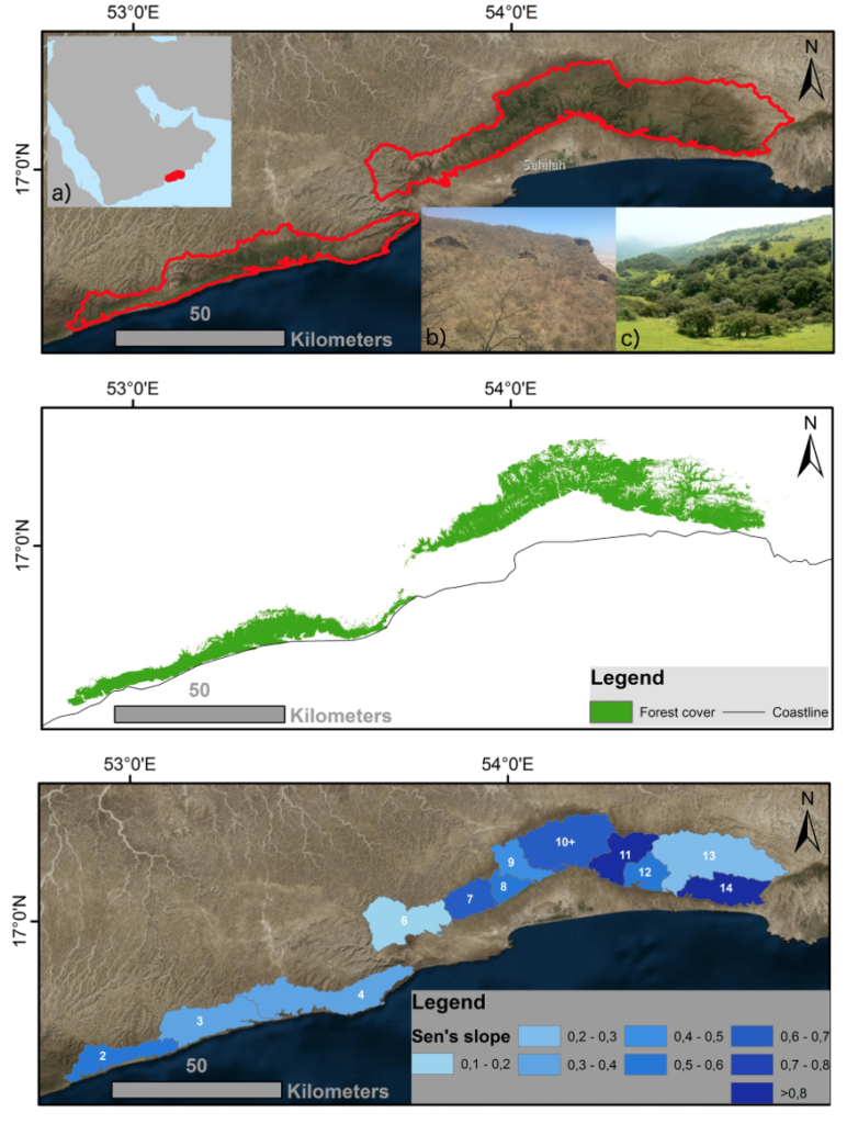
If greenhouse gas emissions continue increasing as they have been, 90% of Western Hemisphere cloud forests would be affected as early as 2060.
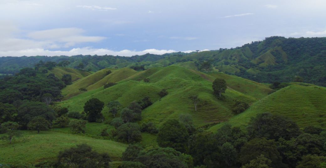
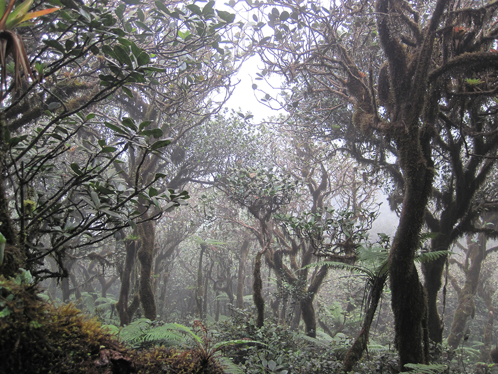
Learn more about this rather unusual seasonal and semi-arid cloud forest.
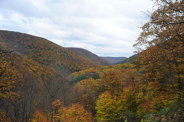
Following changes in long-term forest health around oil and gas wells in the Pennsylvania State Forest.
Access to image data collected by the Landsat series of satellites has improved Canada’s ability to observe, track and study forest disturbances.
