Source: LANDFIRE; USGS Earth Resources Observation and Science (EROS) Center
Our understanding of land cover in the U.S. just got a little clearer.
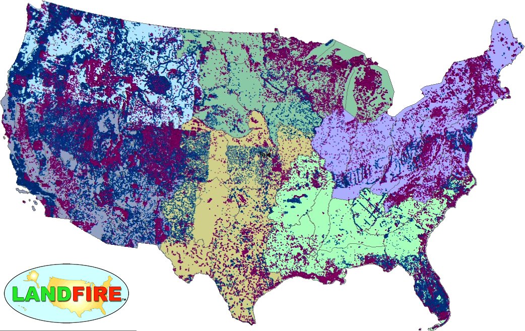
LANDFIRE just released the most significant upgrade in its 15-year history – LANDFIRE Remap project for the conterminous U.S. (CONUS).
Over 9 billion 30-meter pixels were used to generate this new, updated product suite. Users will find refined information on vegetation type and height, fuel sources and density, fire regimes, historical and annual disturbances and more. The level of continuous data and enhanced base maps in this Remap are unmatched when compared to other land cover products.
With this release, LANDFIRE continues to be an essential behind the scenes driver for land managers and beyond
Remapping LANDFIRE

In the days before LANDFIRE, fire scientists often struggled to find the vegetation and fuels data they needed to map the path of fires, keep firefighters safe, and to model fire recovery. The dizzying array of data points found in the map layers of the LANDFIRE product suite—from hundreds of vegetation classes to tree canopy height and bulk to fuel potential and beyond—became indispensable upon its release in 2005. Since then, it’s also proven its worth to land managers, ecologists, biologists, carbon modelers and others, and has been cited in over 1,000 papers. On this episode of Eyes on Earth, USGS EROS talk to a non-profit LANDFIRE partner about the multi-agency federal program’s value, and about recent efforts to remap the United States to improve the product.
Related story, podcast, and video:
+ LANDFIRE Remap Marks Major Improvements for Essential Resource Management Dataset, USGS EROS