
Landsat Observations Key Resource for Many Federal Agencies
In the FY23 Aeronautics and Space Report released on May 23, 2024, a multitude of Federal agencies report work informed by Landsat data.

In the FY23 Aeronautics and Space Report released on May 23, 2024, a multitude of Federal agencies report work informed by Landsat data.
The Australian company Indji Systems uses a variety of satellite data to provide real-time hazard monitoring and alerts to utility and renewable energy companies across Australia, North America and Europe.
A new study using NASA satellite data reveals how drought affects the recovery of western ecosystems from fire, a result that could provide meaningful information for conservation efforts.
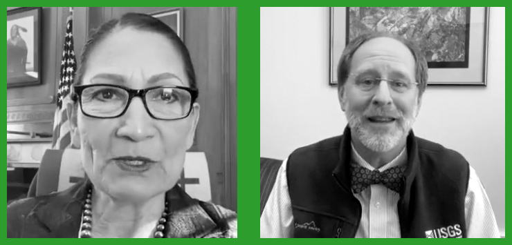
In an Instagram Live event titled “Guided by Science,” Deb Haaland, U.S. Secretary of the Interior, spoke with USGS Director Dr. David Applegate. The Landsat portion of that discussion is shared here.
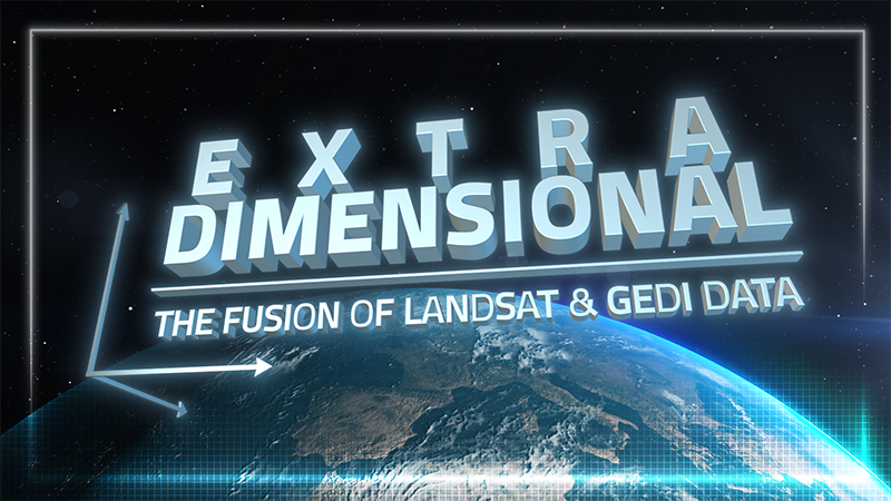
When Landsat’s vast decades-long archive is combined with data from other instruments it can provide amazing insight into how our world is evolving with us and around us. Here are some of the ways Landsat and GEDI data are being harnessed to help us better understand the complex relationship between humanity and nature.
Over the past few years, machine learning techniques have been increasingly used to analyze the vast amount of data collected by the Landsat mission, which has been circling the globe for over 50 years.
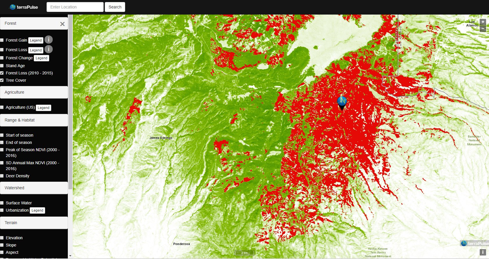
Applying AI to Earth data—including Landsat—helps terraPulse reveal sustainable options for farming, reforestation, and land management.
Merging data from multiple satellites, OPERA can help government agencies, disaster responders, and the public access data about natural and human impacts to the land.
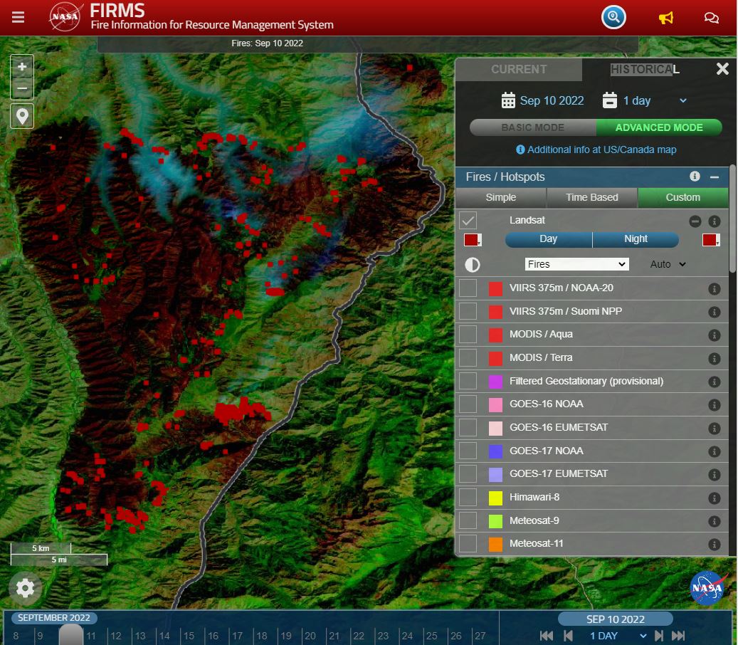
Thirty-meter Landsat 8 and 9 data have been added to NASA’s Fire Information for Resource Management System (FIRMS).
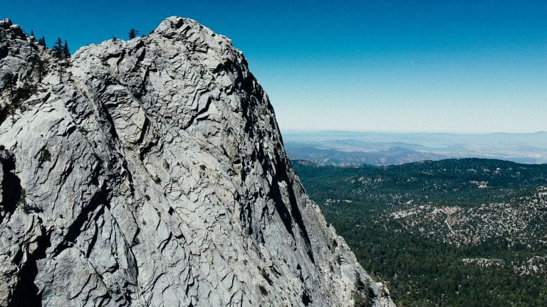
Landsat has shown that wildfires and climbing temperatures have caused a 6.7 percent decline in California tree cover since 1985.
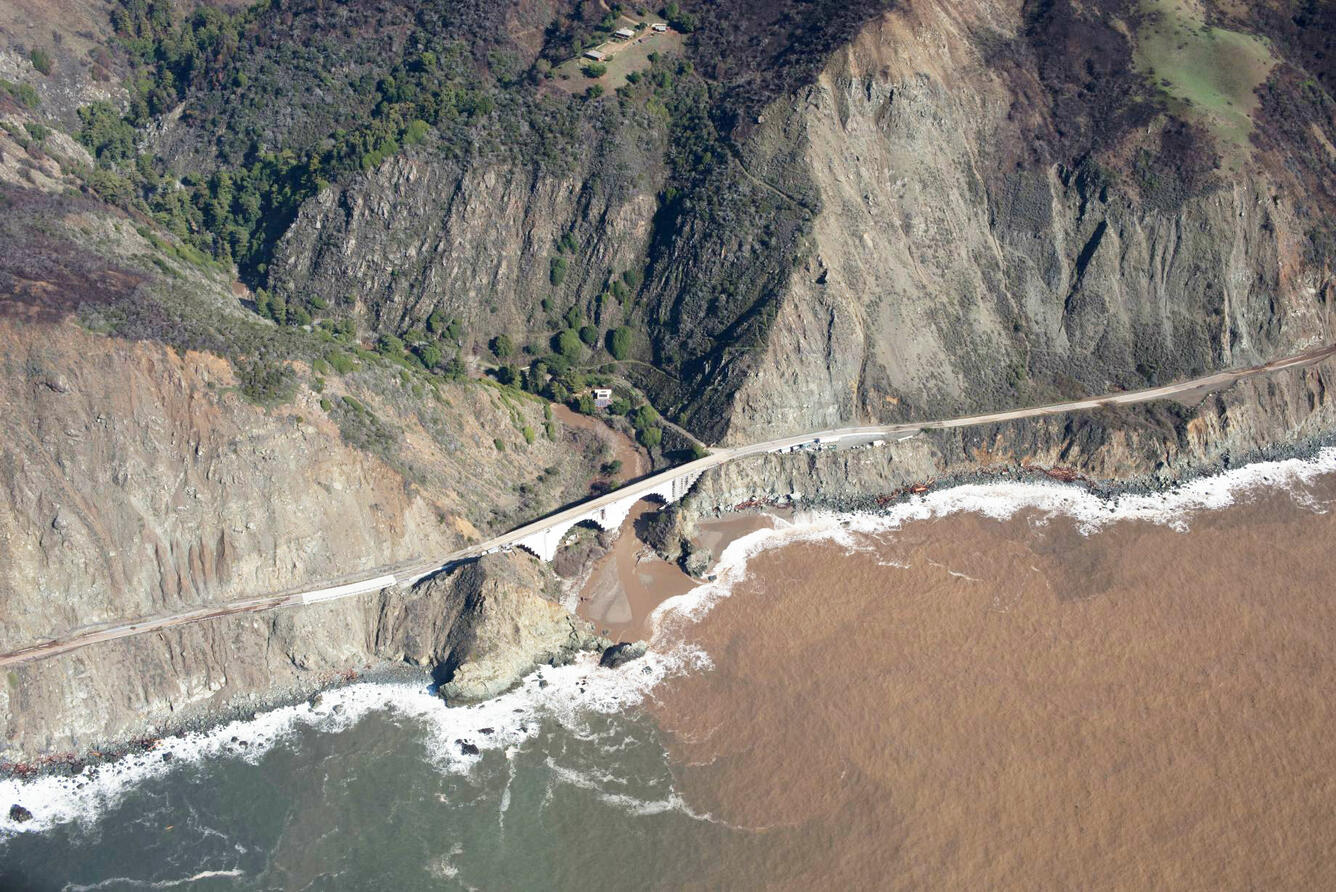
A new study combines decades of Landsat and Sentinel-2 imagery with hydrologic and oceanographic data to look at how changes on land affect coastlines in Big Sur, California.
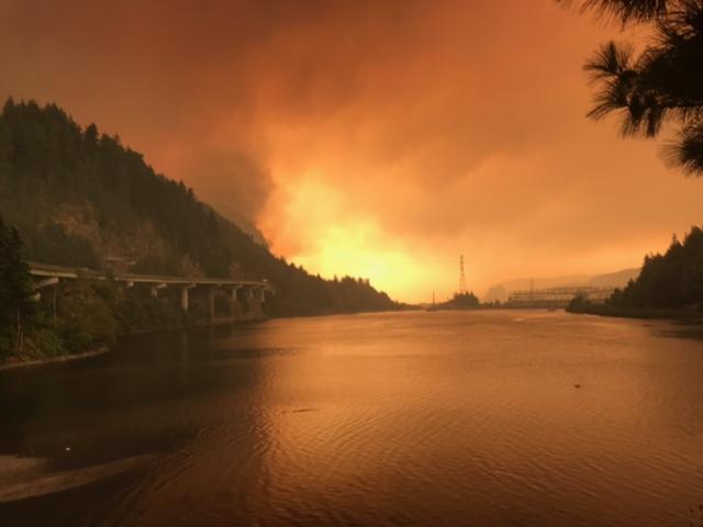
Wildfires in the western United States have been spreading to higher elevations over the past few decades due to warmer and drier conditions that are clearly linked to climate change.
A new study reports a net increase of 5.38 petagrams of forest biomass between 1984 and 2016; carbon-wise, that is equivalent to a train of loaded coal cars long enough to wrap itself around Earth nearly 34 times.
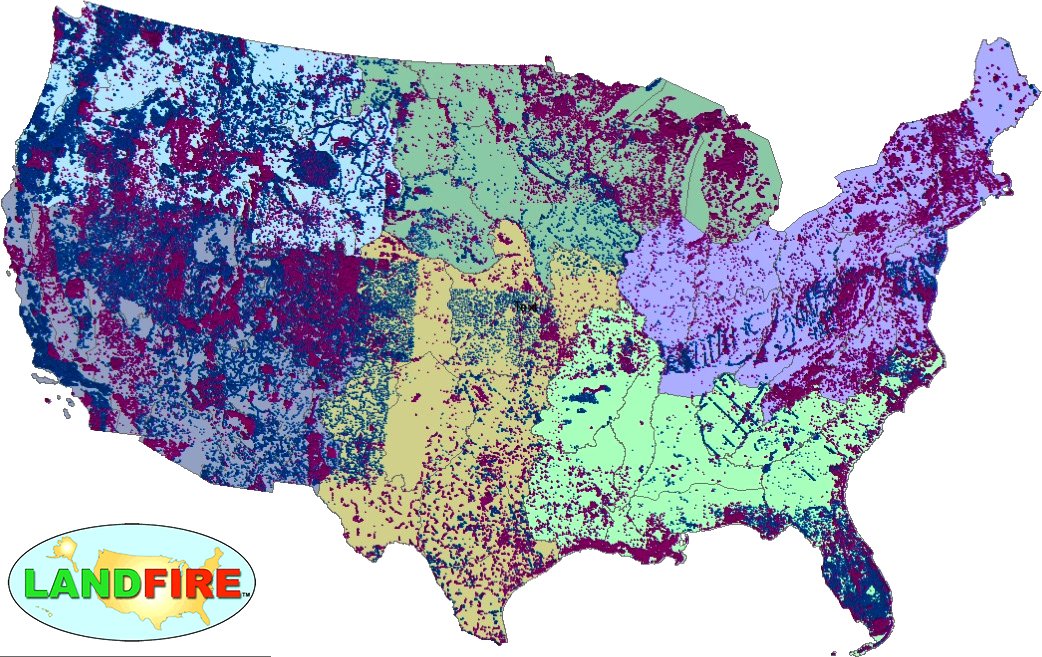
LANDFIRE has released its Remap dataset; new techniques and new data provide significant improvement.
Fires in forested watersheds that support drinking water supplies can introduce contaminants that overwhelm current treatment capabilities. Earth observation data are helping.
Landsat helped confirm and quantify what was only anecdotally known before: beaver dams make wetlands uniquely resistant to wildfires.
Using satellite imagery is a cost-effective way to assess burned areas and triage mitigation measures post-wildfire, study found. Federal agencies can save as much as $7.7 million annually in post-fire costs by using Landsat.
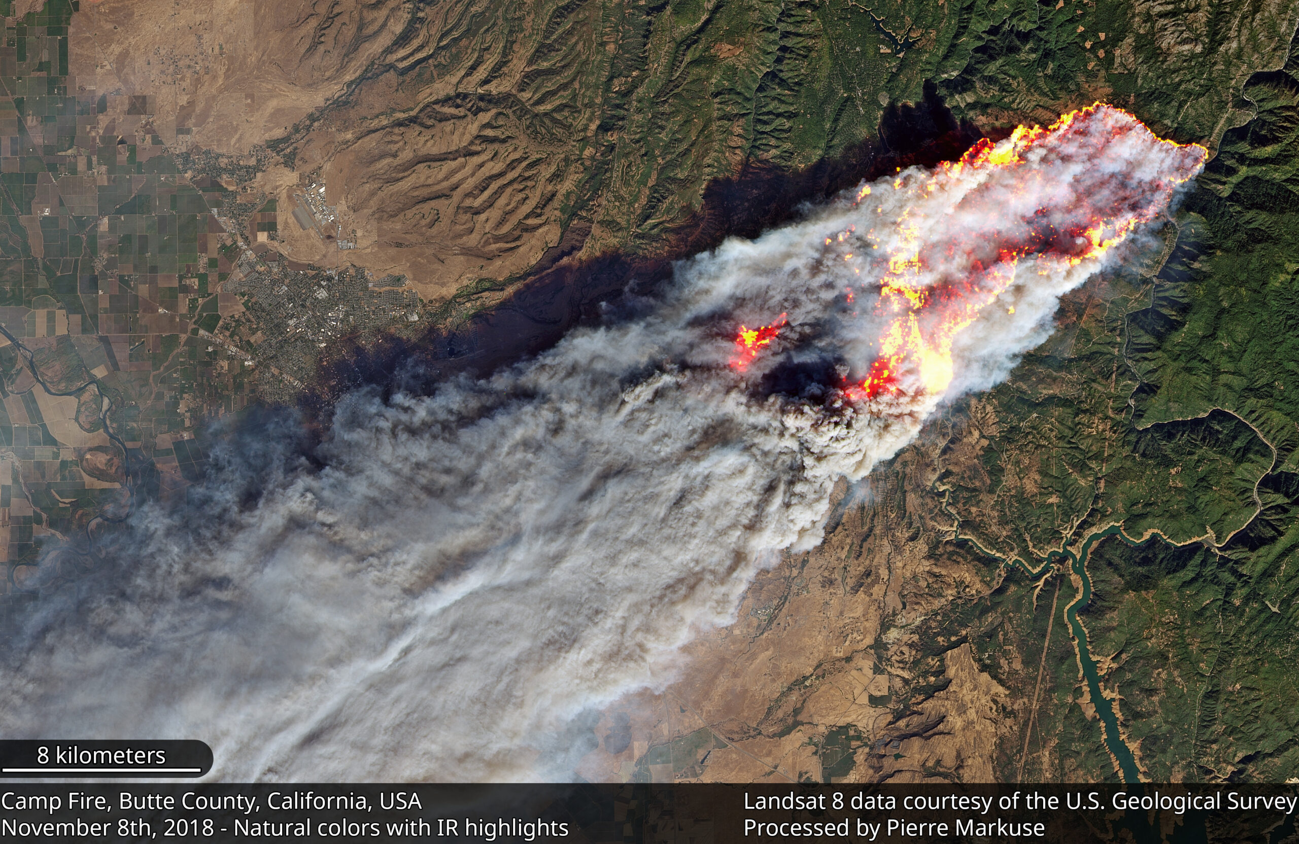
Sprawling urban fires that once plagued civilization were thought to be a thing the past—the Camp Fire let us know they are back.
The first study that connects field-measured data with satellite-derived burn severity in this corner of the world.
A new Burned Area algorithm has been developed by USGS to identify burned areas in images across the Landsat archive.
A combination of lightning, drought and human activity caused fires to scorch more than one-third of Yellowstone National Park in the summer of 1988.
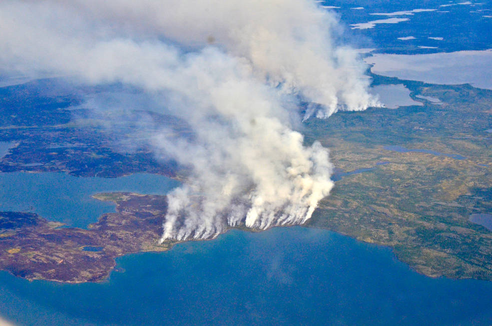
The 2014 megafires in Canada’s Northwest Territories burned 7 million acres of forest, making it one of the most severe fire events in Canadian history.
A new indicator of fire risk for peat moss environments that relys on Landsat 8’s new blue band.
Finding out how fire severity affects soil microbes.
By incorporating seasonal variability of herbaceous cover and biomass in the Southwest U.S., fine fuel loading can be measured. The measurements are then used to capture changes to fire behavior fuel models based on the current fire season.
The LANDFIRE program produces annual fire disturbance maps for the conterminous U.S. Recently, the program developed an image tiling and compositing process to aid in vegetation change mapping.
Forest resource managers, natural resource policy makers, and global change scientists need comprehensive, consistent, and up-to-date information on trends in forest cover and condition. This information is essential for understanding carbon budgets, predicting fire behavior, quantifying biodiversity, and hydrologic modeling.
Landsat 8 imagery is being used to identify increased wildfire susceptibility due to the invasion of cheatgrass on rangelands.
LANDFIRE National used approximately 5,340 Landsat scenes to map CONUS, Alaska and Hawaii. Landfire continues to rely on Landsat imagery for updates. There were 13,185 scenes processed from 1984-2009 to capture landscape change for CONUS for the LANDFIRE 2008 update (representing change 1999-2008). Additional years are included because the algorithm used to identify change needed a longer time horizon.
Lighting ignited the Castle Rocks fire in the deep backcountry of Denali National Park and Preserve in early July, 2013. Over the next two months, the Castle Rocks fire would fluctuate between periods of activity and inactivity depending on changing weather conditions, eventually burning more than 12,900 acres by the time it was declared out on September 4, 2013. Remote even by Alaska standards, the Castle Rocks fire plotted approximately 100 miles to the west of Denali park headquarters and 160 miles southwest of Fairbanks.
Although dousing the flames was foremost in people’s minds during the recent Rim Fire in Stanislaus National Forest and Yosemite National Park, U.S. Geological Survey scientific work continues well after the fire is out. USGS scientists are continuing their critical research characterizing the hidden dangers faced after large wildfires.
Speeding around the Earth at 16,800 mph (27,000 kph), two Landsat satellites are quietly, expertly watching and recording changes in Earth’s lands from space. They are gathering data for people to make maps–all kinds of wonderful maps–of our cities growing, rivers flooding, lava flowing from volcanic eruptions, forests expanding or shrinking, crops greening through the growing season, and even of evidence of pollution.
Two recent images from the Landsat 8 satellite compare land conditions in the vicinity of Yosemite National Park before and during the Rim Fire. The images, from August 15 before the fire began and from August 31, can be contrasted and downloaded from the USGS Earth Resources Observation and Science (EROS) Center.
