
Satellites are important management tools in our fiery new world. Long-term foundational data sets like Landsat have exposed troublesome new trends: wildfires are growing more extreme and destructive. Since 2000, wildfires have grown four-times larger and three-times as frequent. They are moving faster, burning longer through the night, and at higher elevations than ever before.
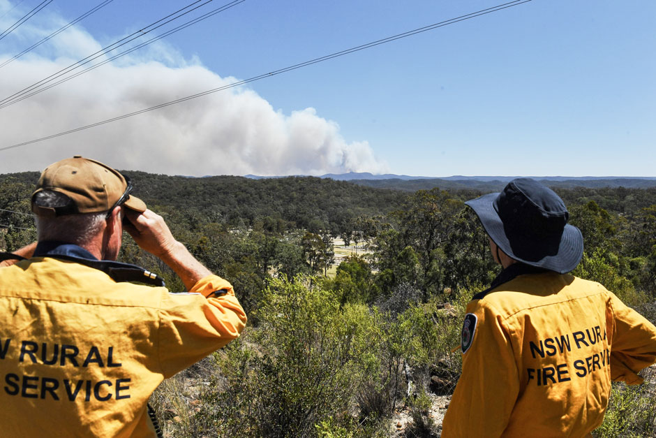
California’s Camp Fire, America’s deadliest since 1918 at the time, killed more than 85 people and let us know that the sprawling urban fires that seemed a relic of the past, were back. The Lahaina fires on Maui in 2023 took even more lives and shocked the world.
Climate change has made wildfires a growing scourge of our time, putting homes and humans at greater risk. But even when fires are in very remote areas and homes and humans are not directly impacted, human infrastructure can be in peril.
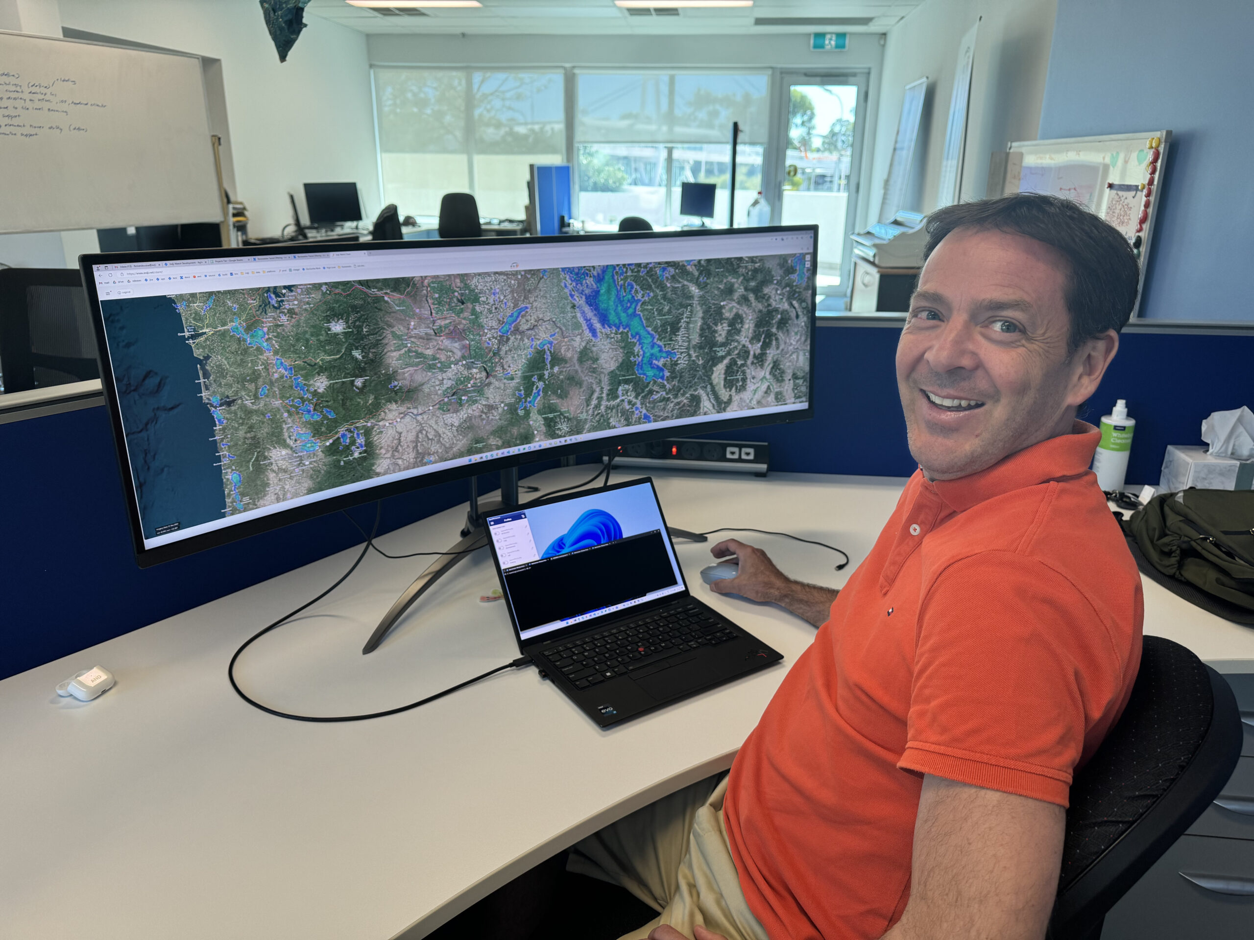
A recent NASA Earthdata story by Joseph M. Smith profiles the Australian company Indji Systems that uses a variety of satellite data to provide real-time hazard monitoring and alerts to utility and renewable energy companies across Australia, North America and Europe.
Different satellites have different fire monitoring strengths. Some satellites like NOAA’s GOES-16 and -18 can provide multiple images each hour, but their spatial resolution has limited detail. Sensors like MODIS and VIIRS can provide better spatial detail at a daily pace with spectral bands honed to find thermal anomalies. Satellite data from Landsat and the European Space Agency’s Sentinel-2 can be combined to provide even more detailed looks that aid fire detection and produce finer delineations of burned areas on a sub-weekly basis.
NASA’s Fire Information for Resource Management System (FIRMS) brings all of these satellite resources from NASA and its partner agencies (NOAA, USGS, and ESA) together for people monitoring fires like Mark Carniello, a product manager with Indji Systems.
“Our clients generally care about where the fires are now, so we grab the hotspot data from FIRMS as soon as they become available,” Carniello shared with Smith.
“Over time, NASA has become better and better at providing these data in easier to consume formats. So, now we just grab the raw data, but the nice thing about FIRMS is that the raw data [are] harmonized in a way that makes it easier for us to use and there are less variables we have to consider when building our own systems.”
Full story:
Active Fire Data Key to Keeping Staff Safe and Energy Assets Running (April 2024)
Related Reading
+ Landsat Fire and Thermal Anomaly Data Now Part of FIRMS (Oct. 2022)
+ Climate Change Pushes Wildfires to New Heights (Sept. 2021)
+ The Synoptic View of California’s Camp Fire: A Scorching Reality of Today’s Fires (Feb. 2019)


