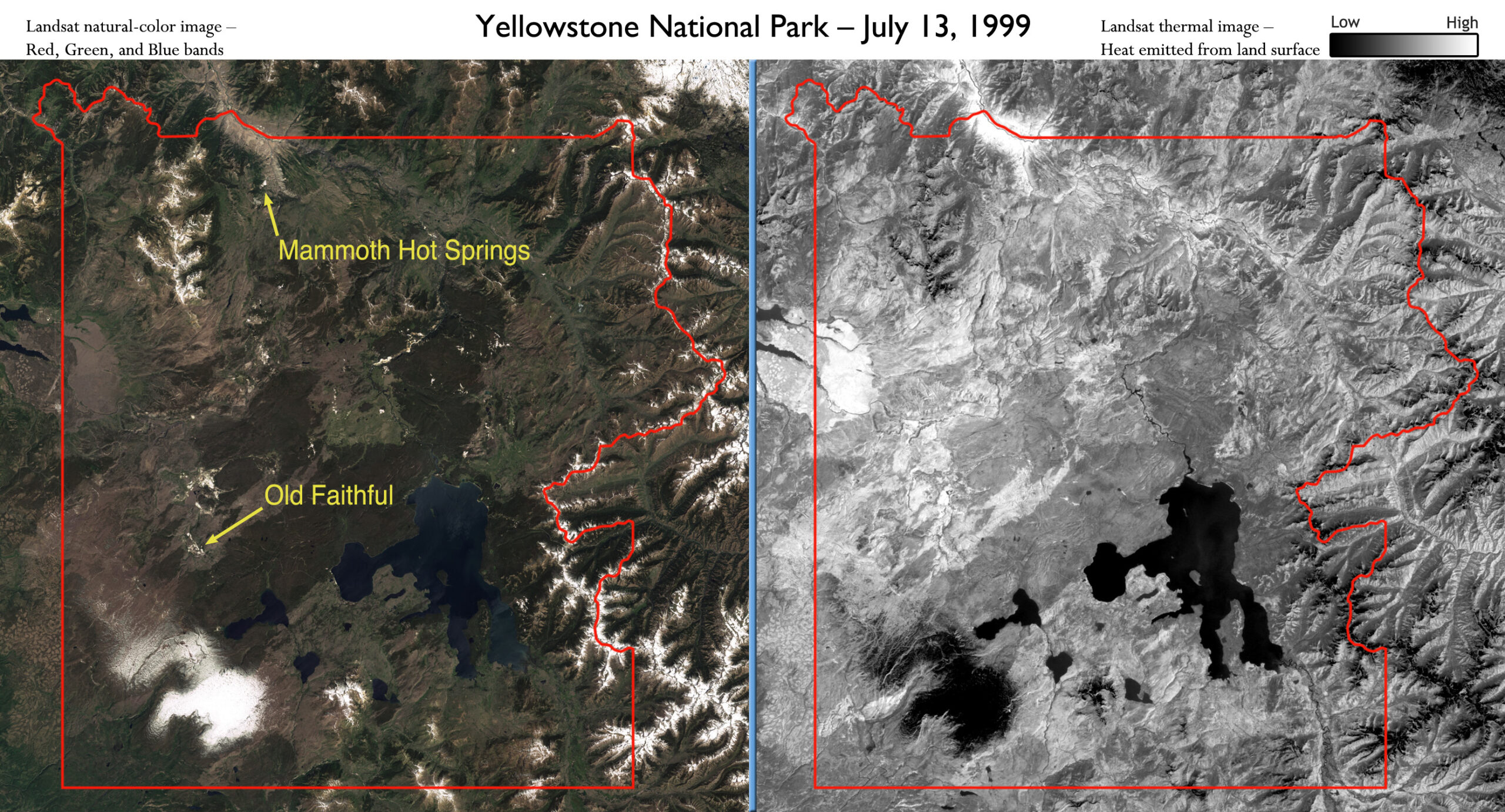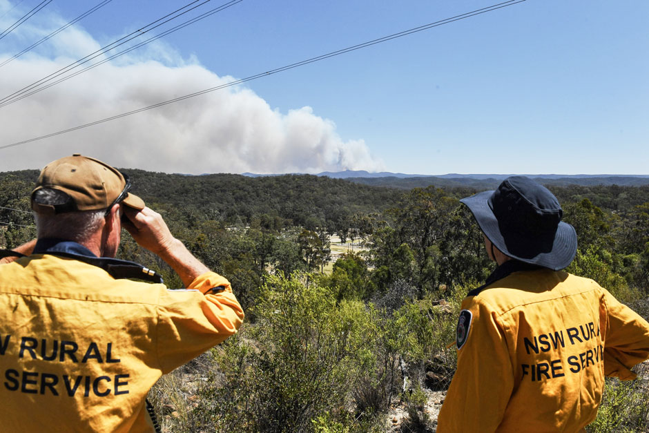
Spotted by Satellite: Situational Awareness in Fiery Times
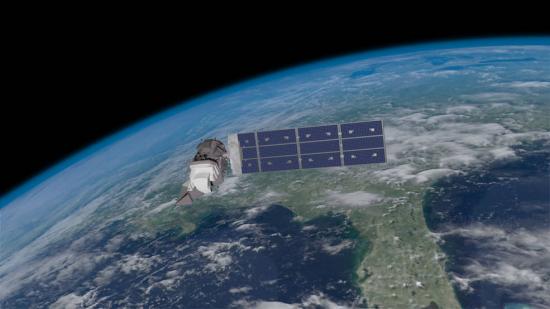
The Australian company Indji Systems uses a variety of satellite data to provide real-time hazard monitoring and alerts to utility and renewable energy companies across Australia, North America and Europe.