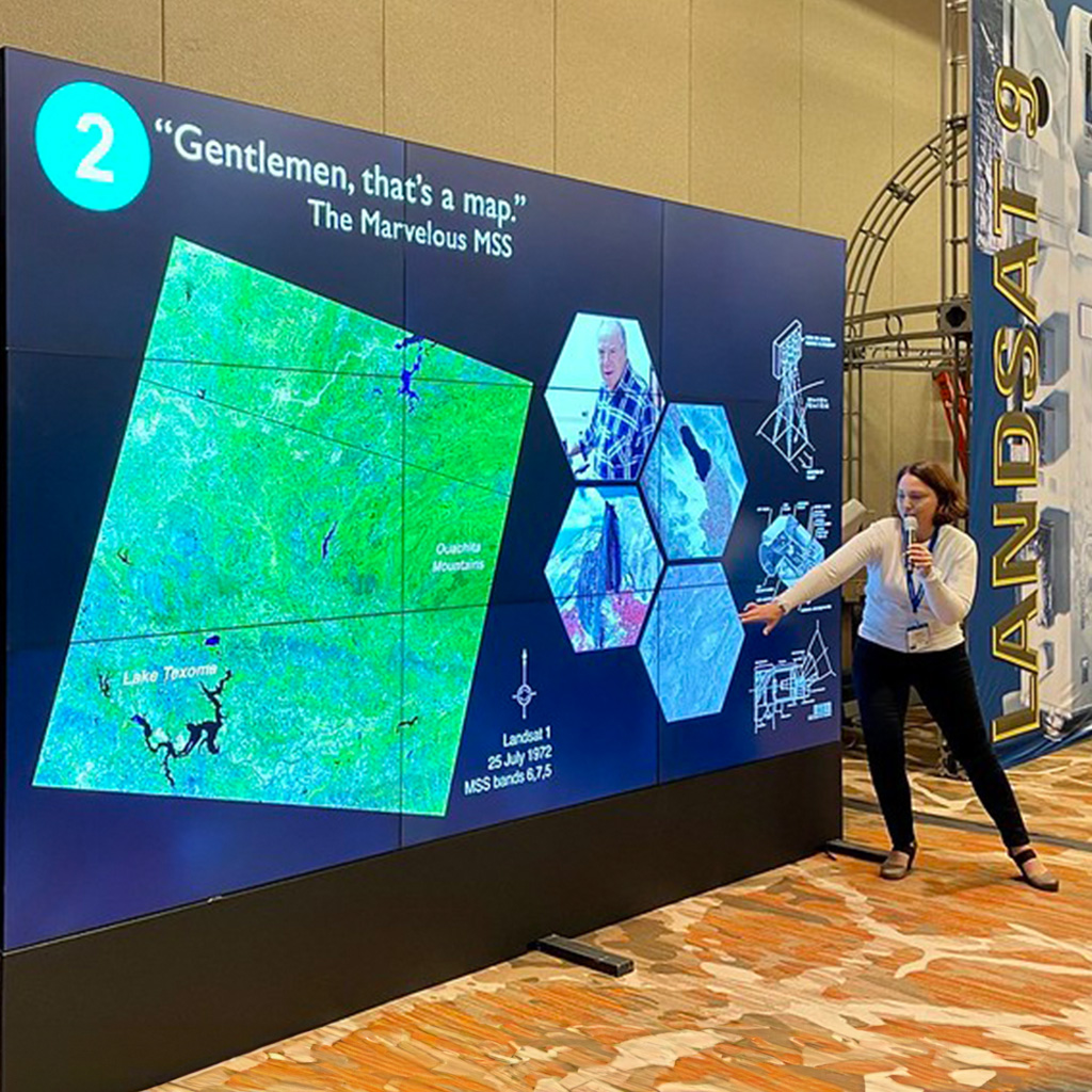
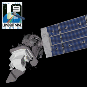
Find all Landsat images published by the award-winning NASA Earth Observatory here. Beautifully annotated (and unannotated) images collected throughout Landsat’s long history are featured along with detailed descriptions and scientific explanations. All of the images are in the public domain and may be used with attribution.
See for yourself how our planet is changing at the World of Change gallery featured on NASA’s Earth Observatory. Via time series satellite images, you can witness the unfolding transformation of Earth’s surface. Many different satellite data sets are featured on this site. As you’ve probably guessed, you can find Landsat—with its nearly five-decade archive—in heavy rotation here.


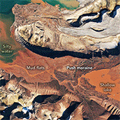
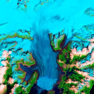
In addition to their scientific value, many satellite images are simply intriguing to look at. Satellites capture an incredible variety of views of Earth. See the mesmerizing beauty of river deltas, mountains, and other sandy, salty, and icy landscapes. Some might even remind you of actual famous works of art!
The surface of the Earth is always changing. Some changes like earthquakes, volcanoes, floods, and landslides happen quickly and other changes, such as most erosional processes, happen slowly over time. It’s often hard to see these changes from ground level. A much broader view is needed, and multiple views that provide a record of change over time are especially helpful. Earthshots shows you how satellite data are used to track these changes.
The Scientific Visualization Studio wants you to learn about NASA programs through visualization. The SVS works closely with scientists in the creation of visualizations, animations, and images in order to promote a greater understanding of Earth and Space Science research activities at NASA and within the academic research community supported by NASA.
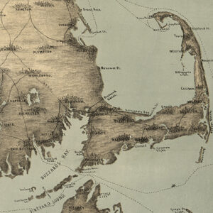
Look at the history of how humans have mapped our earth from petroglyphs to satellite imagery. Early geographers documented their travels through stunning and detailed cartography, helping navigate, settle disputes, and illustrate the extent of an Empire's power. Maps have inspired us to venture into the unknown and have inspired generations of exploration to this day.

Look through a collection of virtual backgrounds and Wallpapers for desktop and Zoom/Teams meetings.