The Earth to Sky Partnership nurtures and supports a growing community of interpreters, educators and scientists learning and sharing science and communication techniques. Their community of practice develops interpretive and educational products and programs for use in refuges, parks and other sites of place-based education.
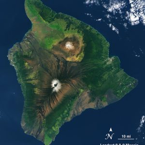
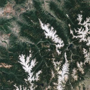
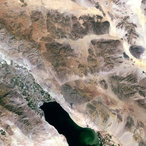
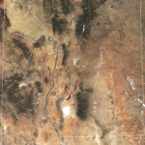
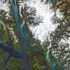
This collection includes Landsat imagery created to help Earth to Sky community members tell effective stories with satellite data. These images have been used in public programs, wayside exhibits, park ranger training, student activities, and more! The collection includes visualizations of locations across the United States such as Hawaii, Alaska, and Colorado.
Additional Resources:
+ https://earthtosky.org/
+ http://emapr.ceoas.oregonstate.edu/pages/media/webmaps/Trendr/parks.html

