
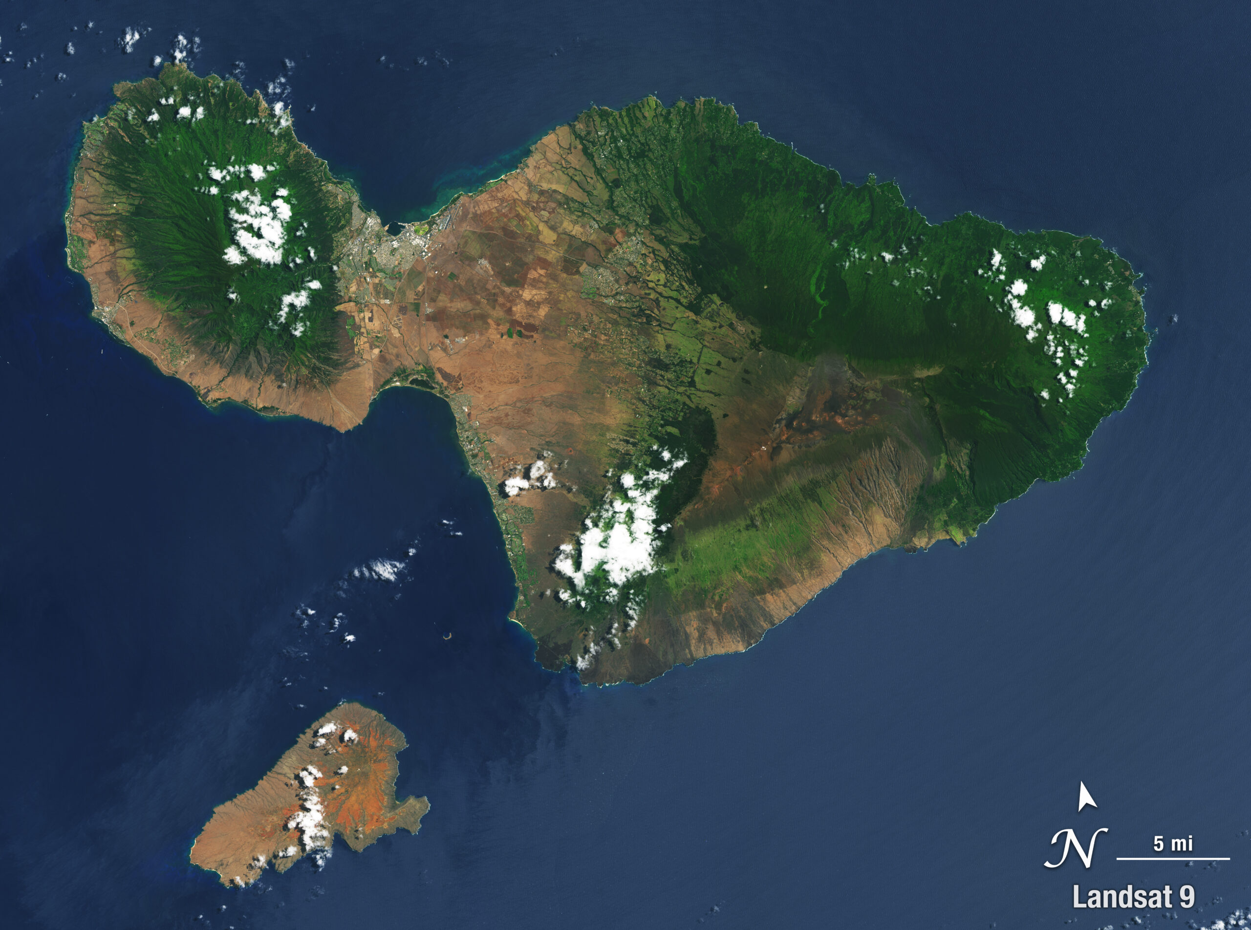
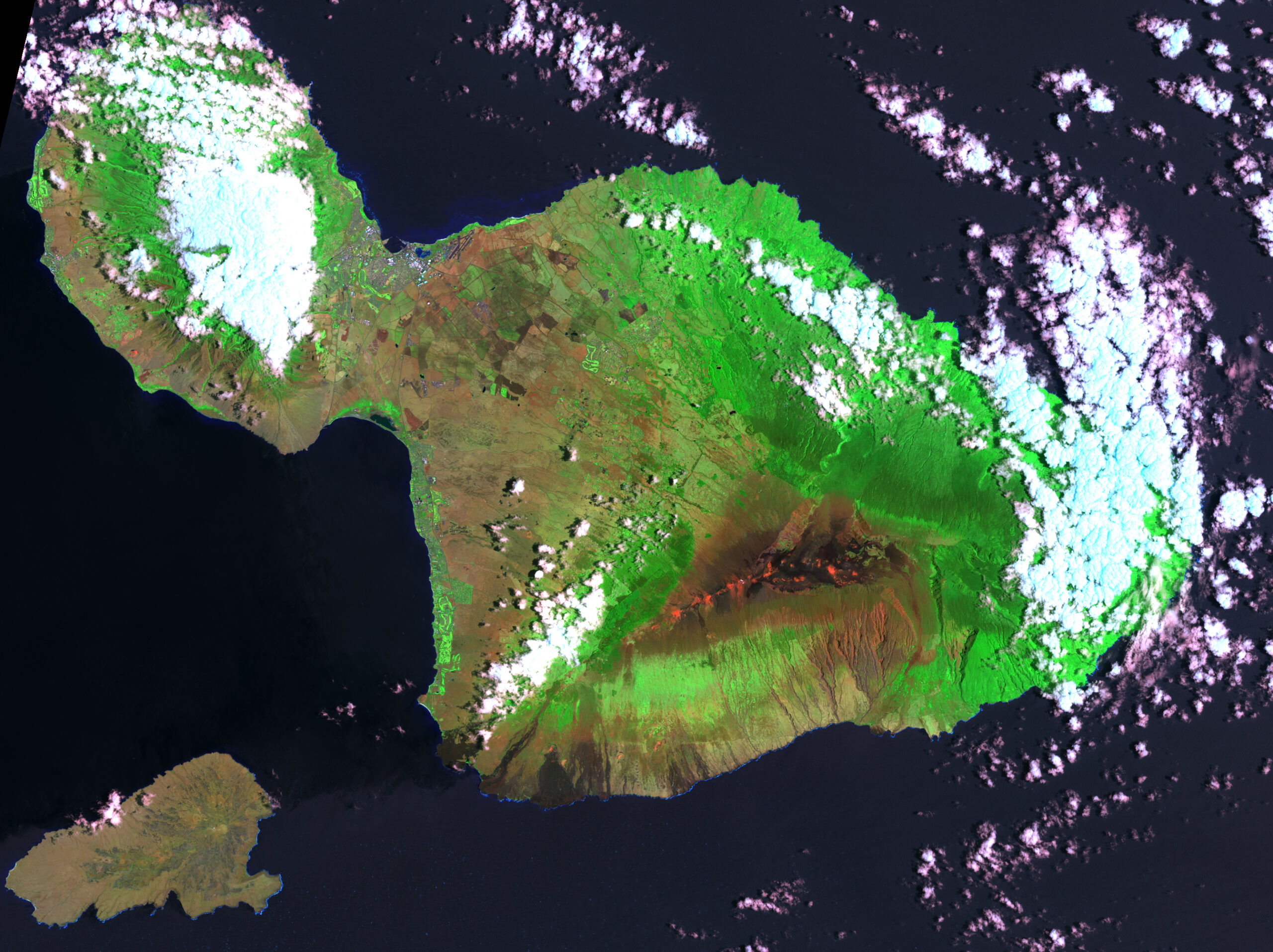
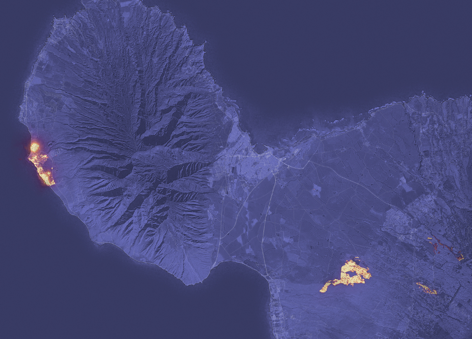
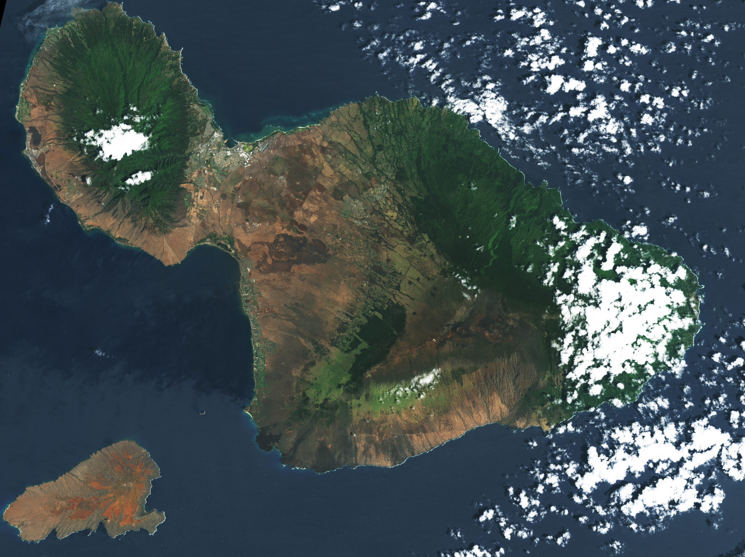
This collection of Landsat images includes high-resolution mosaics of Hawaii’s main islands as well as selected events including fires, eruptions, and urban growth.
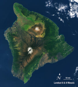
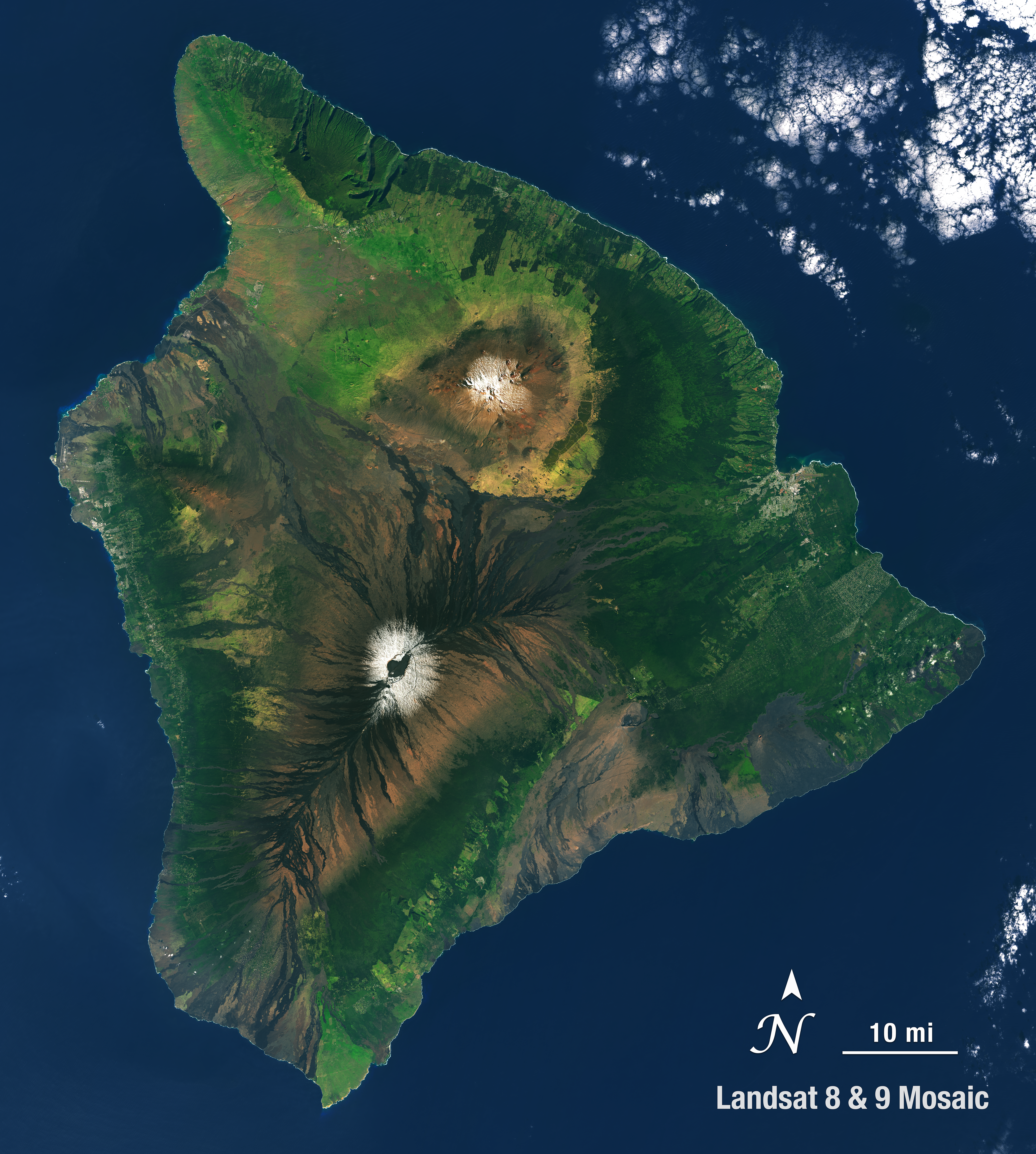
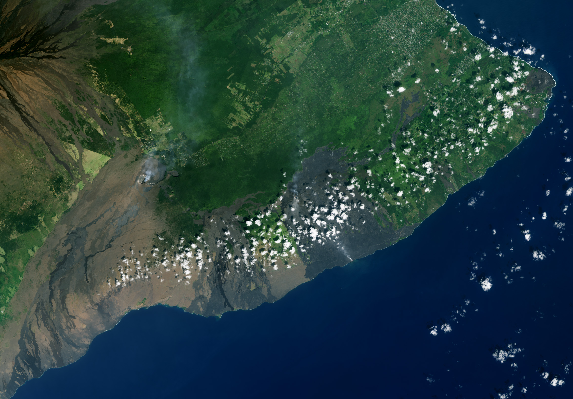
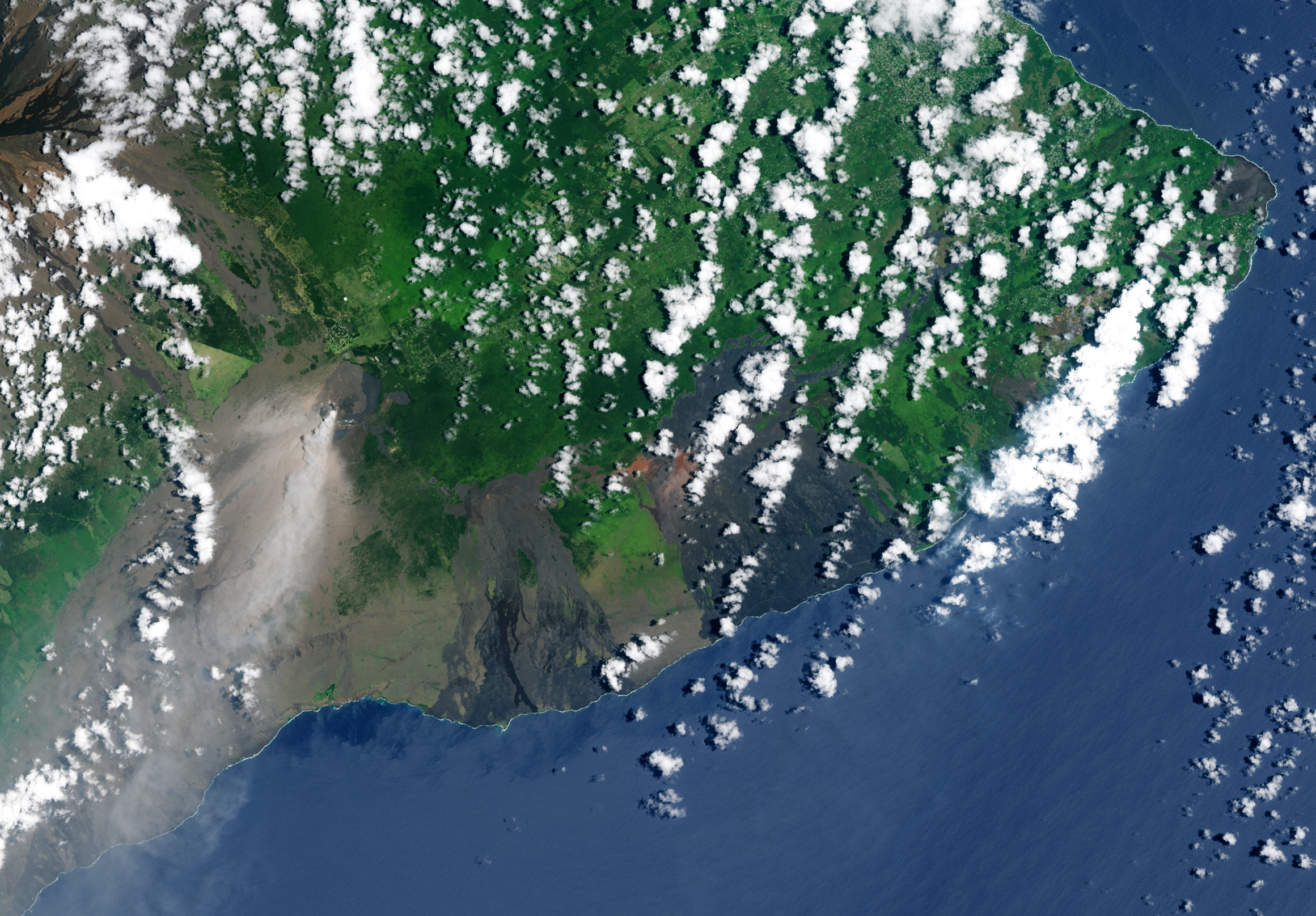
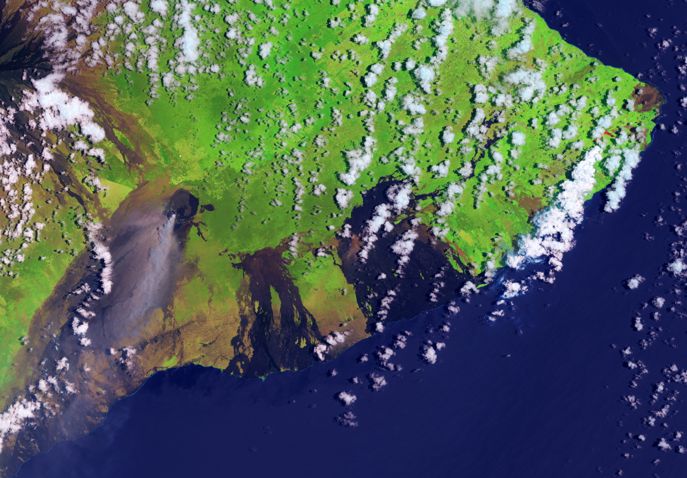
Big Island
- Big Island of Hawaii – full island (2023) High-res (TIFF), Low-res (JPEG)
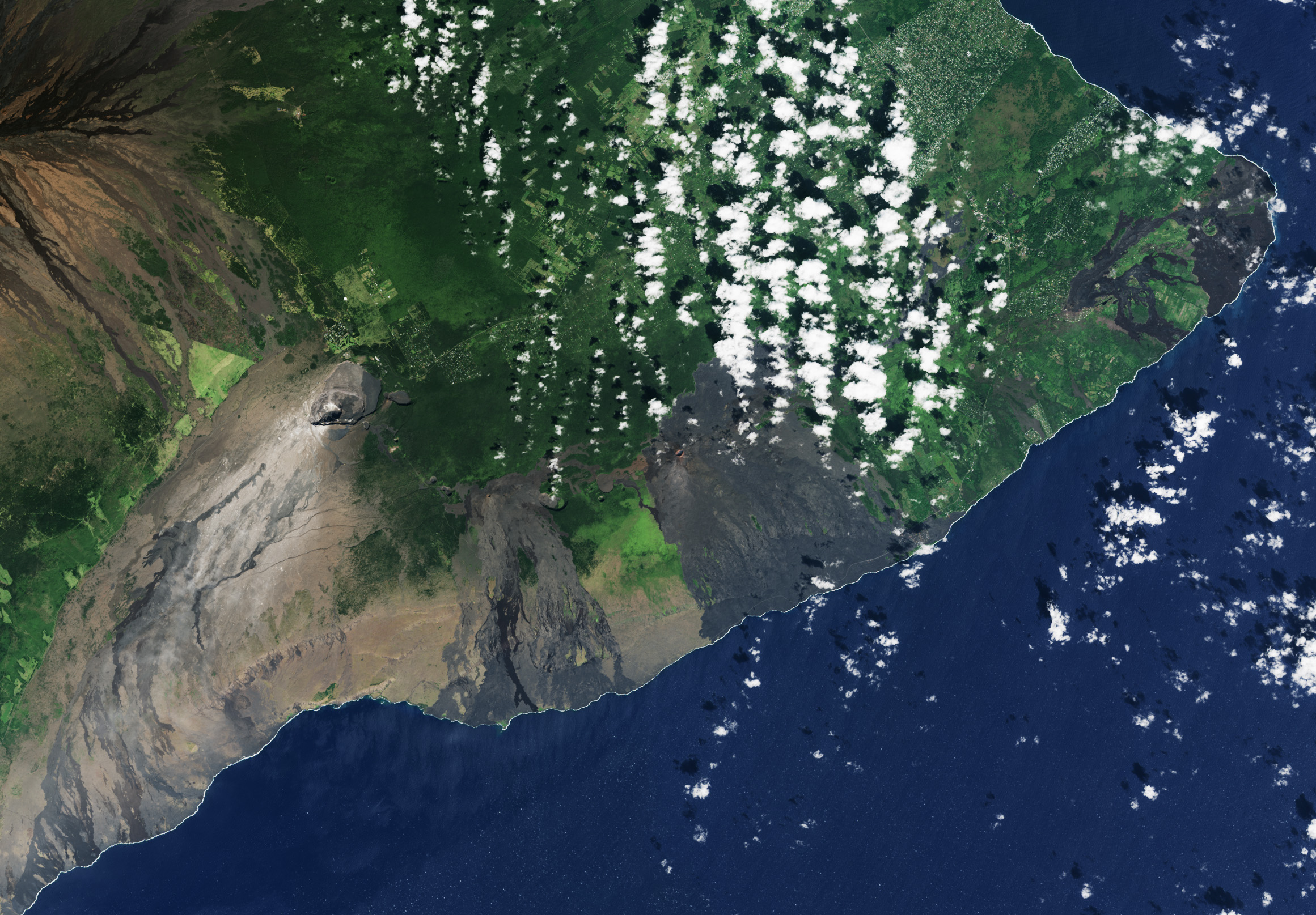
- Kīlauea eruption
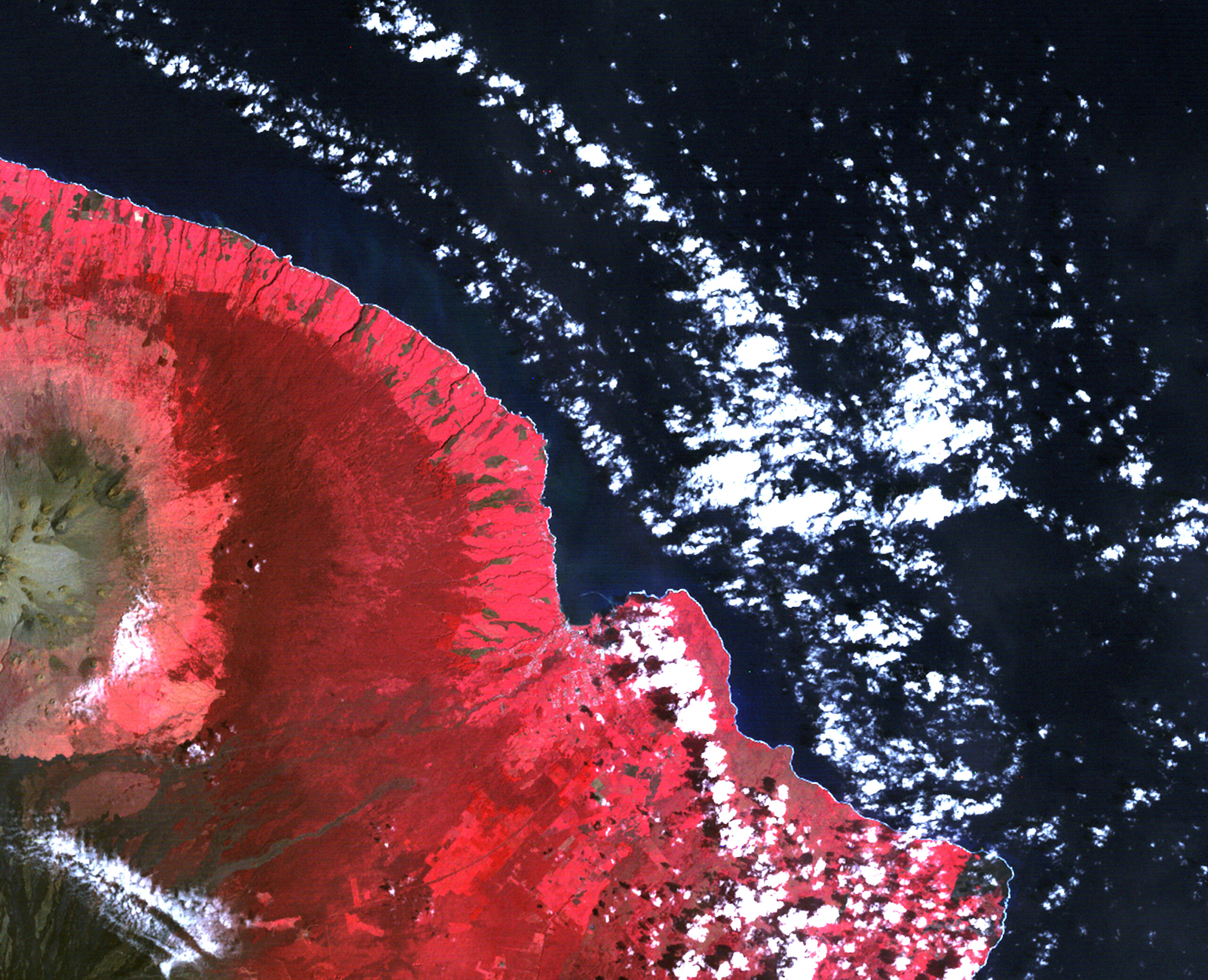
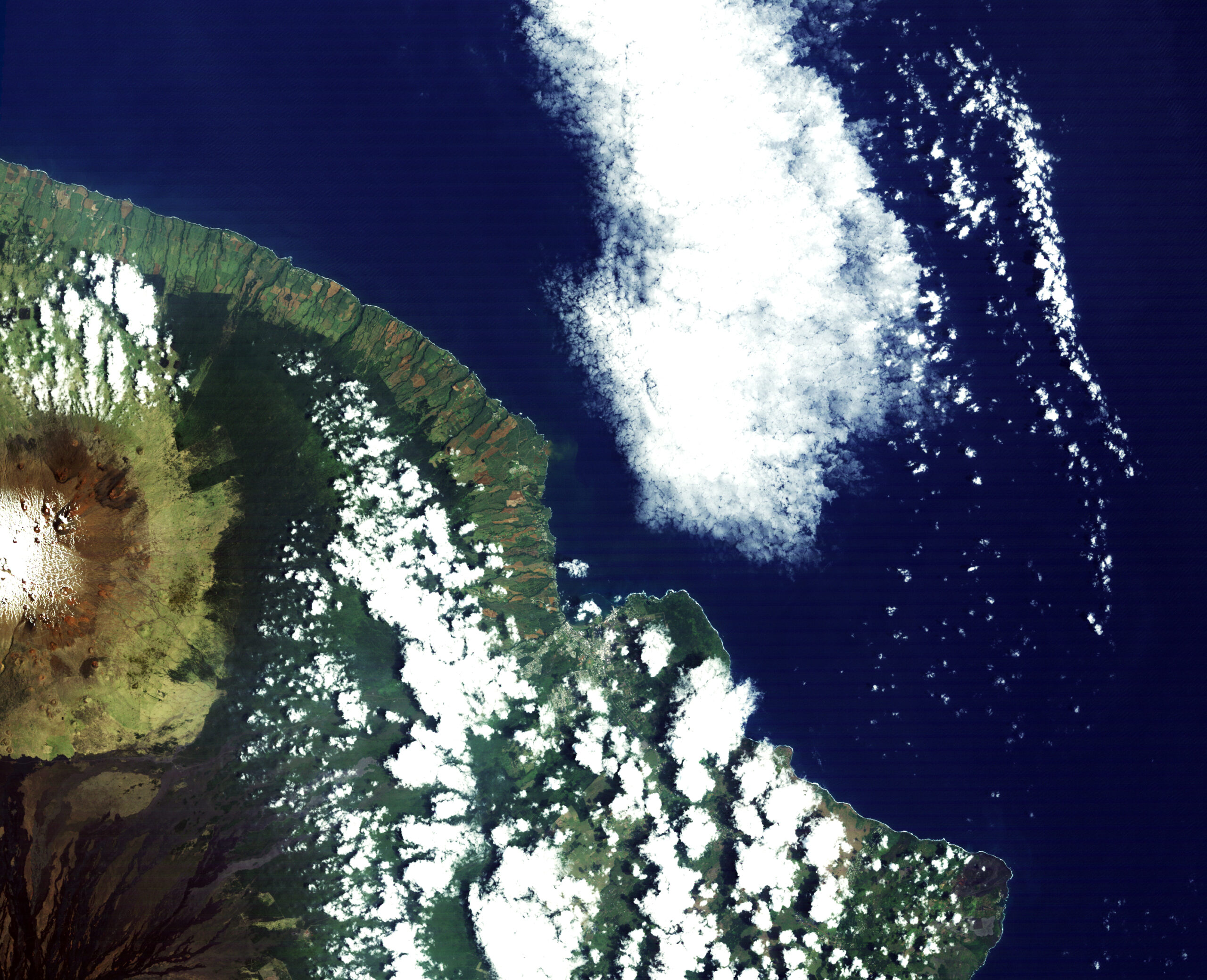
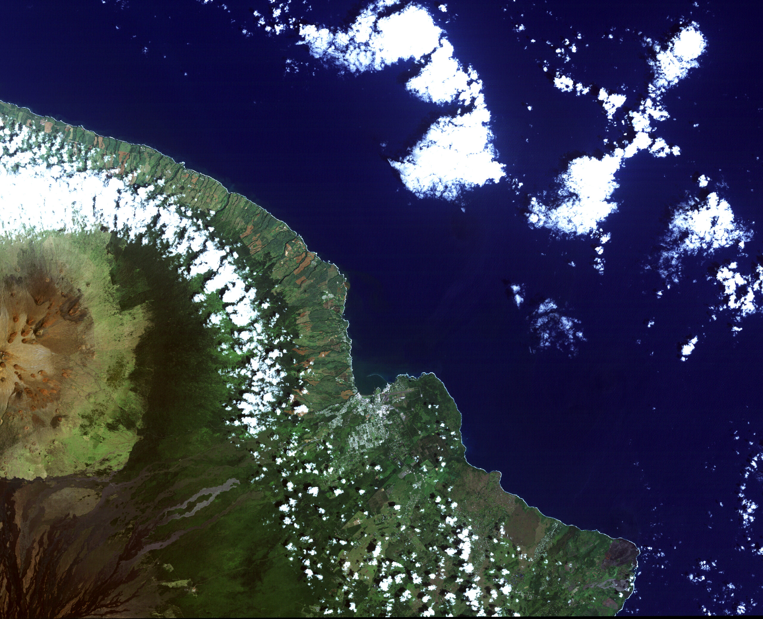
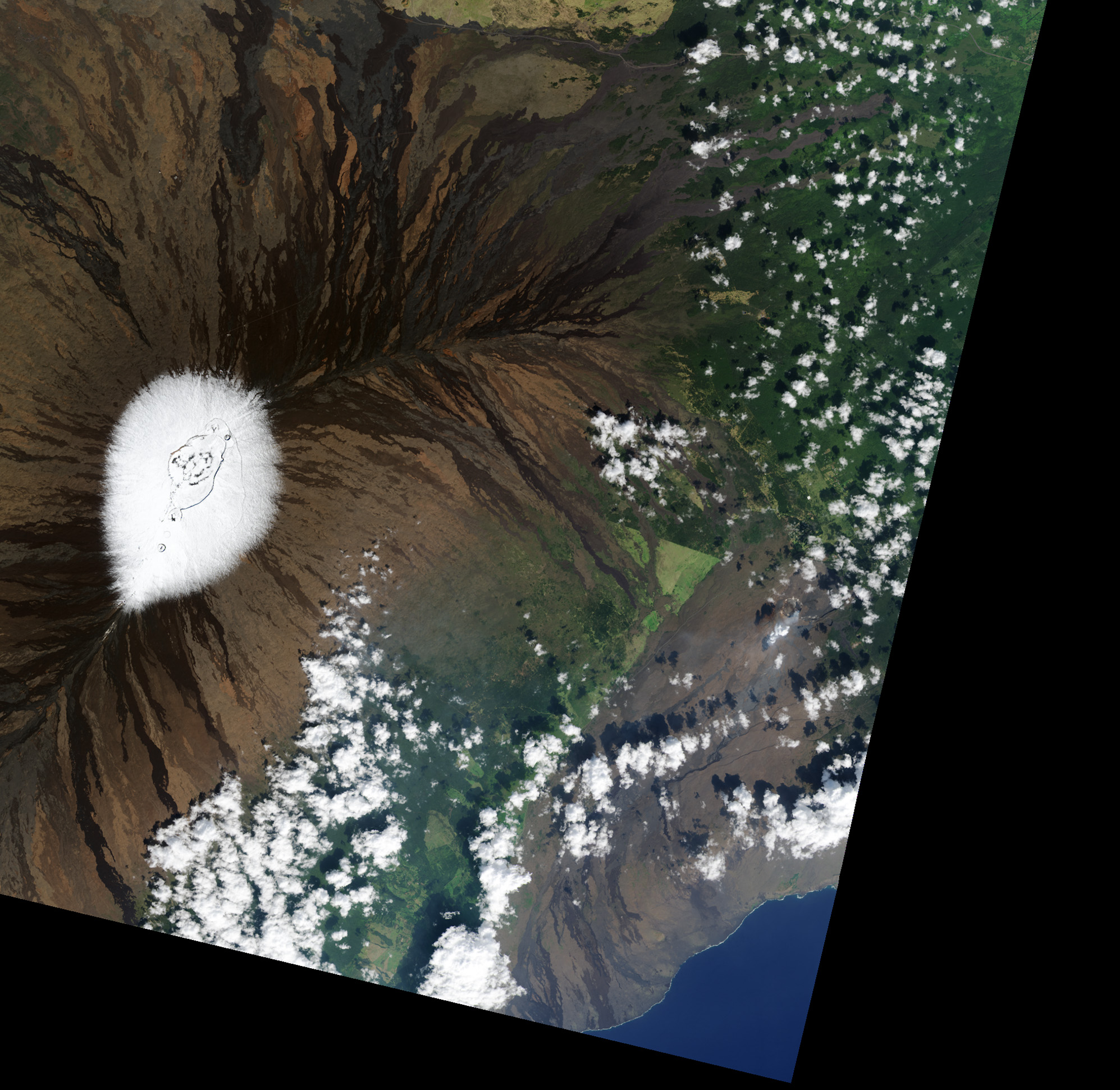
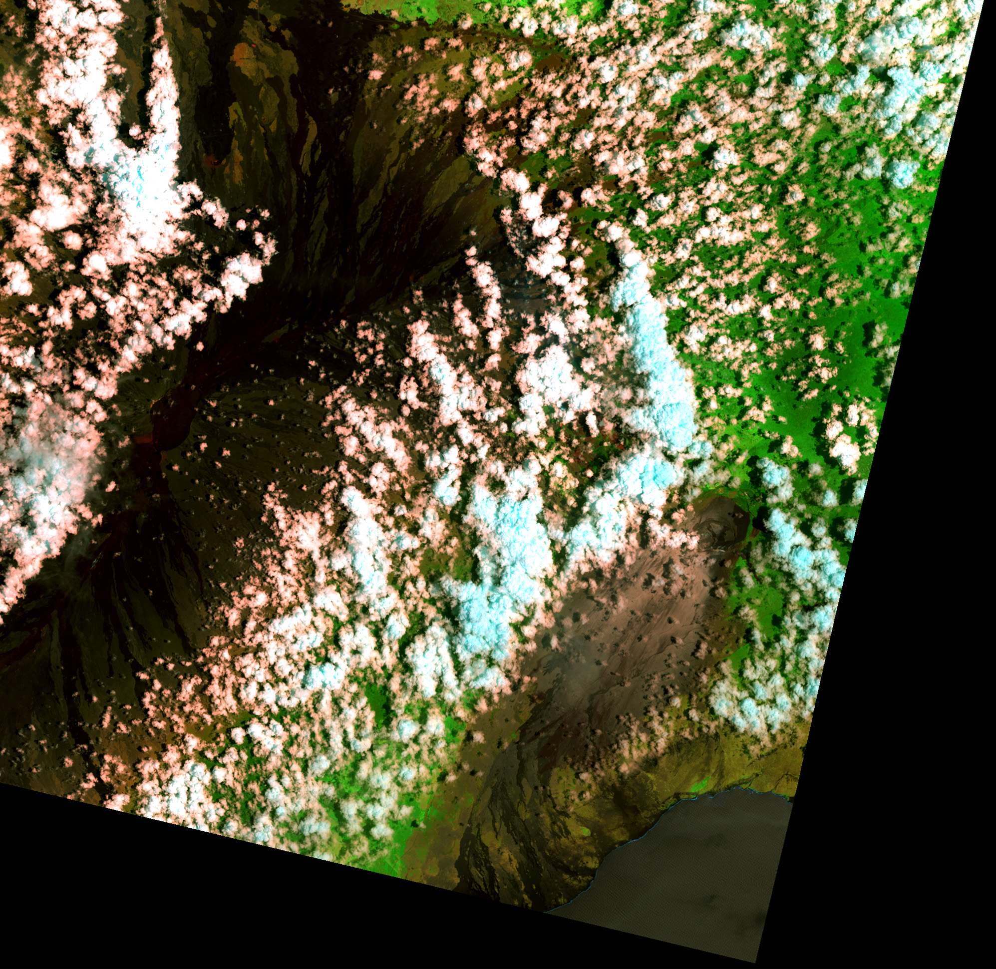
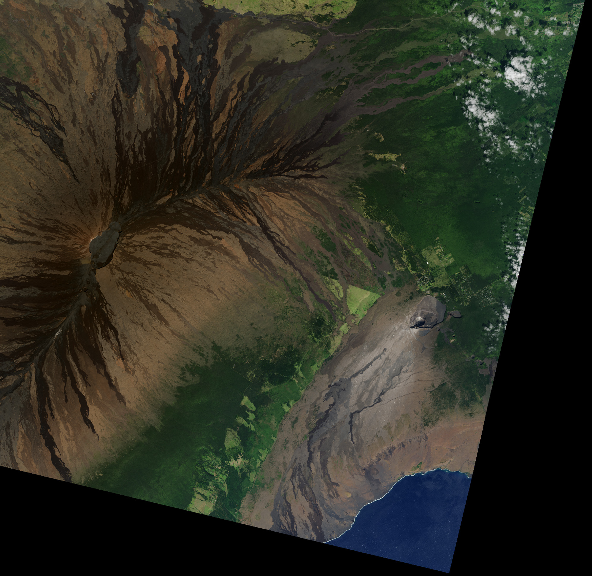
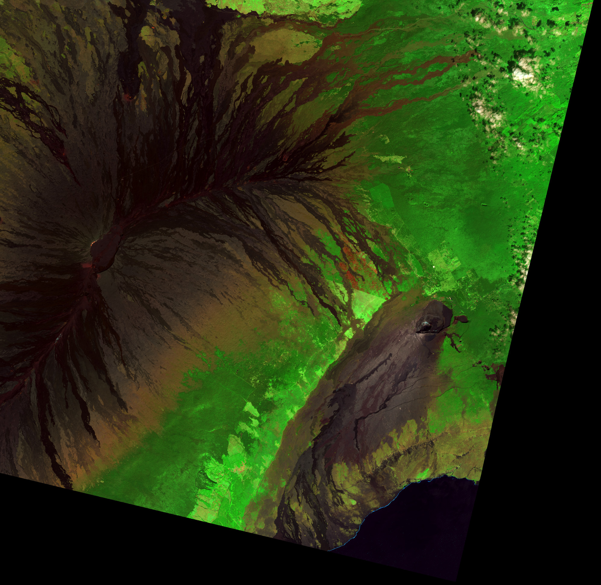
- Hamakua Coast
- Keauhou Ranch fire
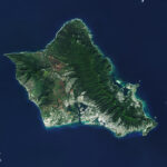
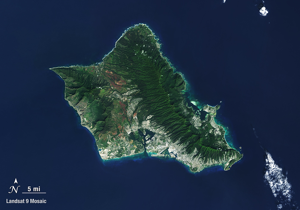
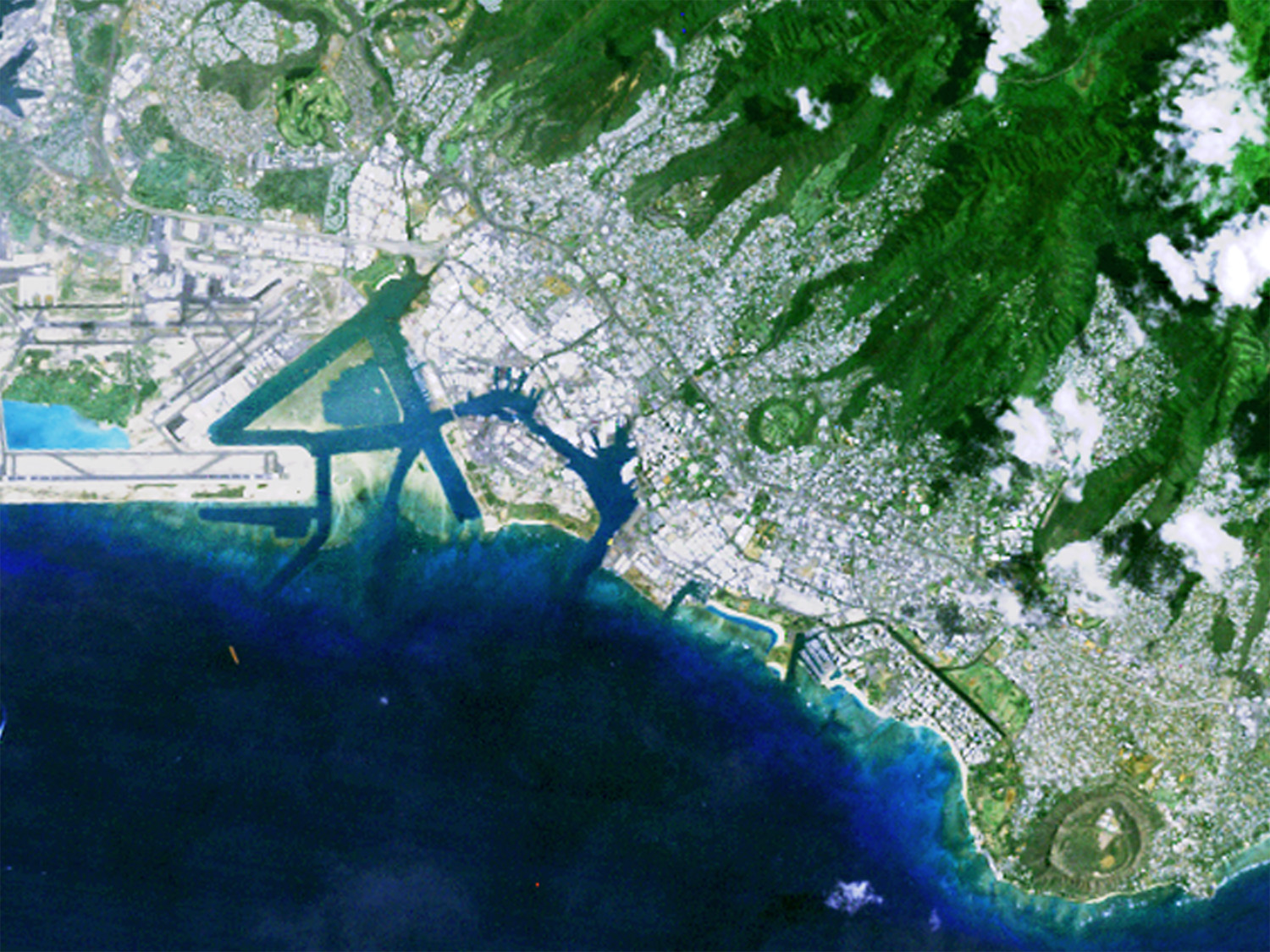
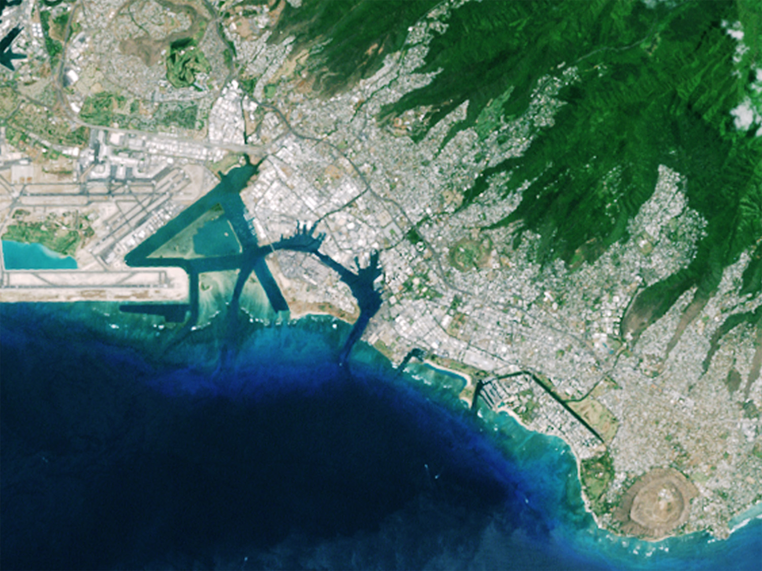
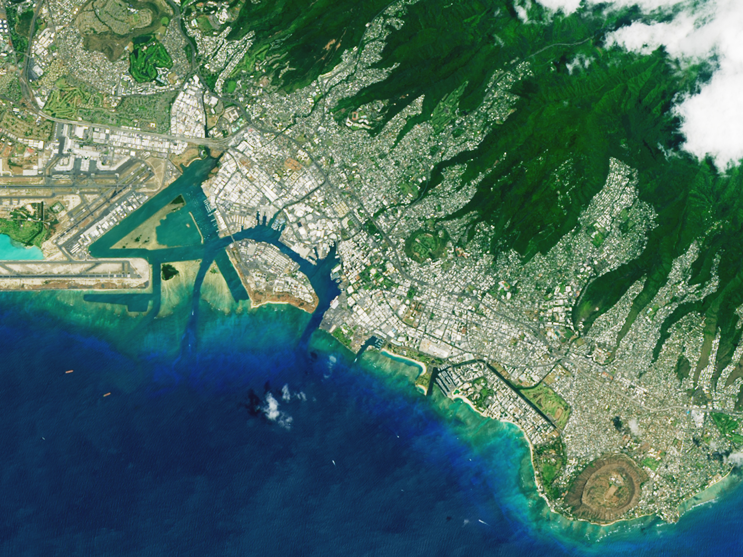
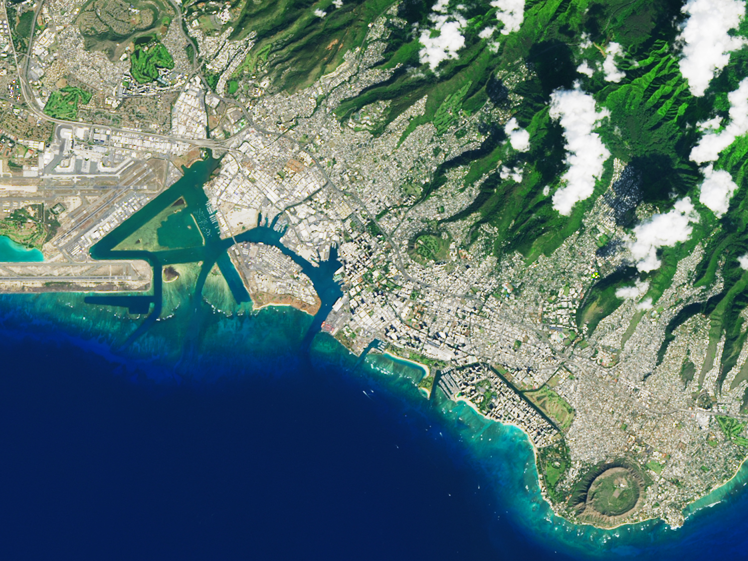
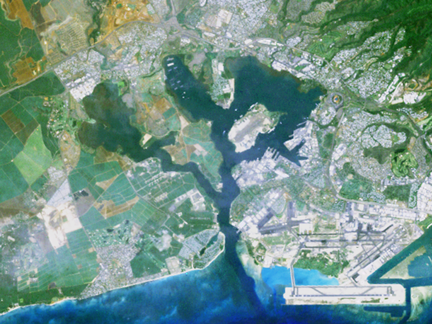
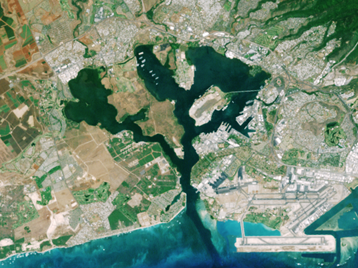
O'ahu
- O’ahu – full island (2023) High-res (TIFF), Low-res (JPEG)
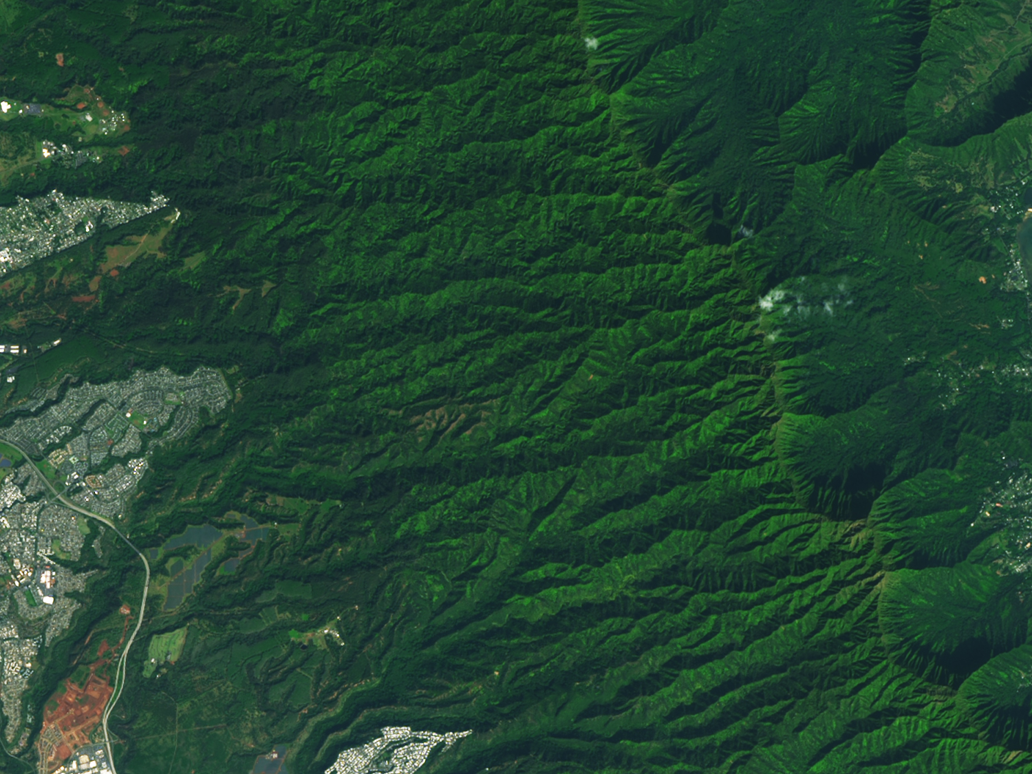
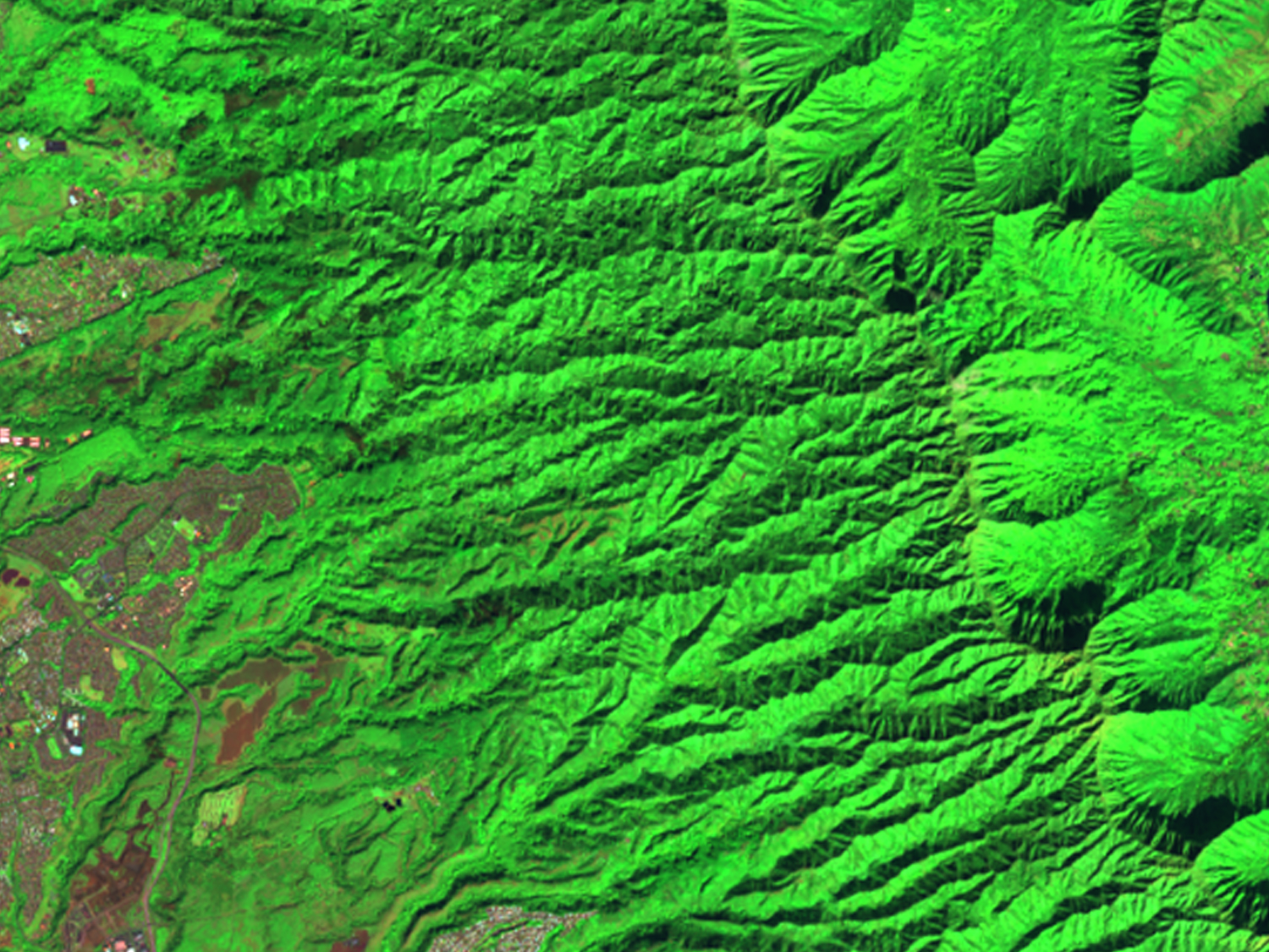
- Honolulu
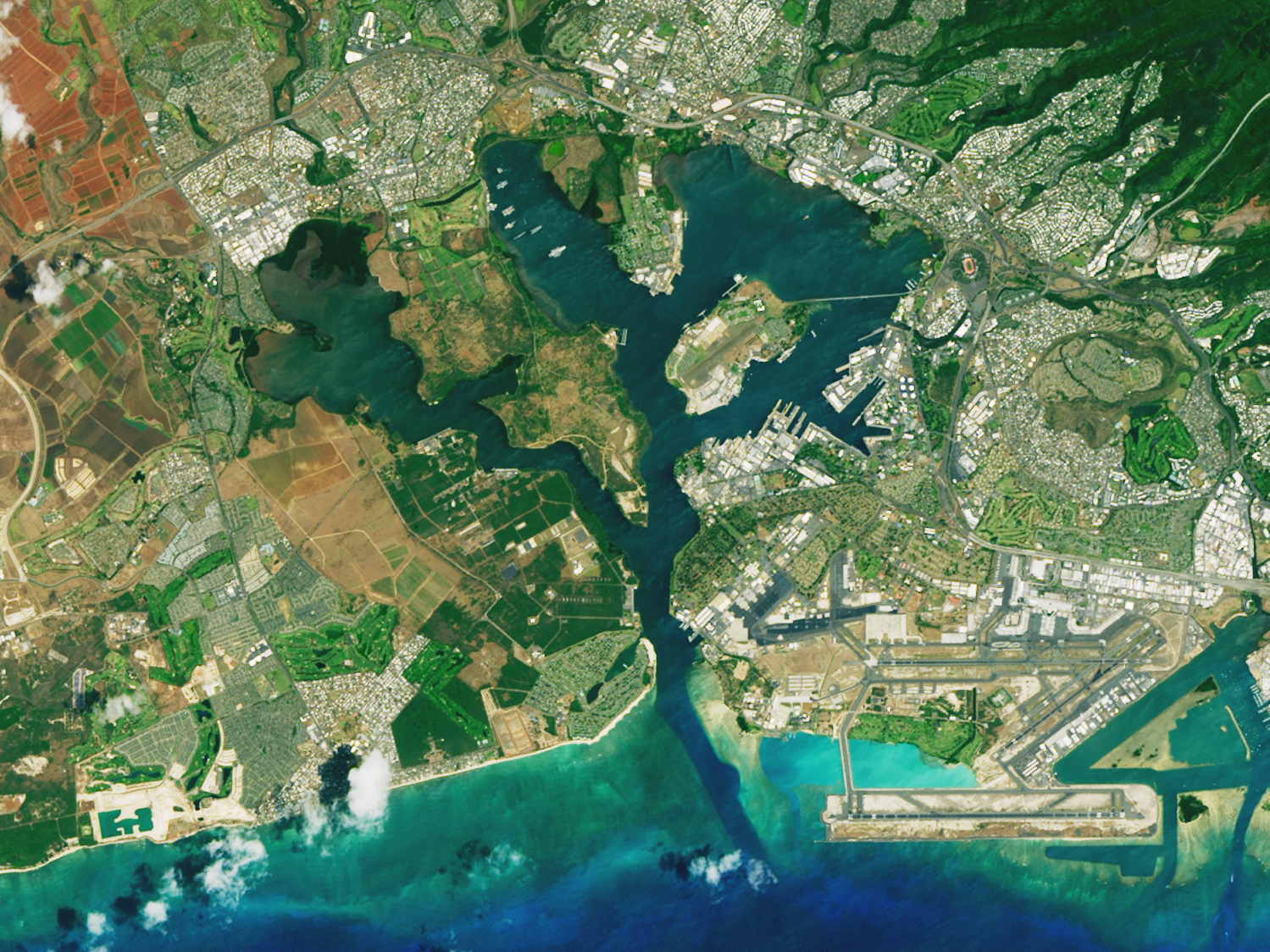
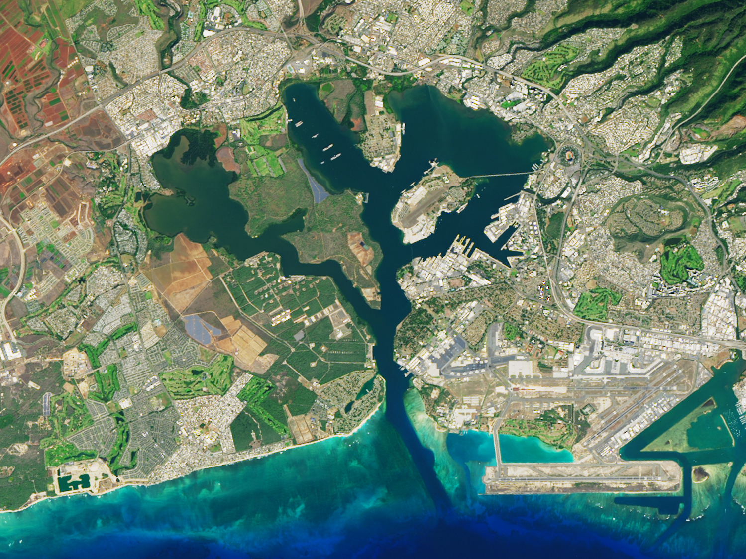
- Pu’Uloa
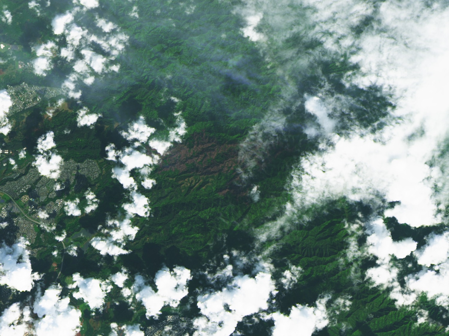
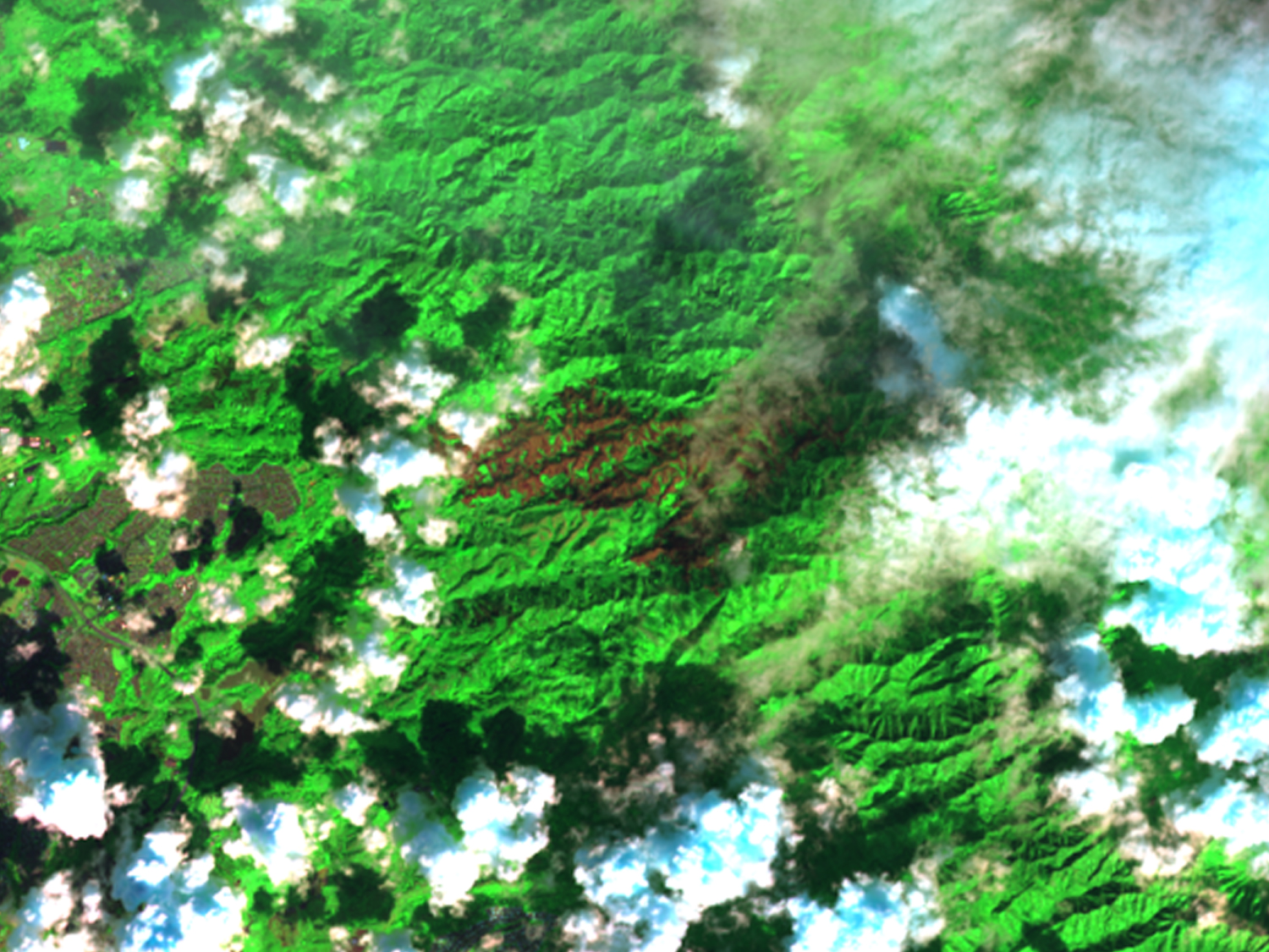
- Mililani fire
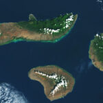
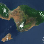
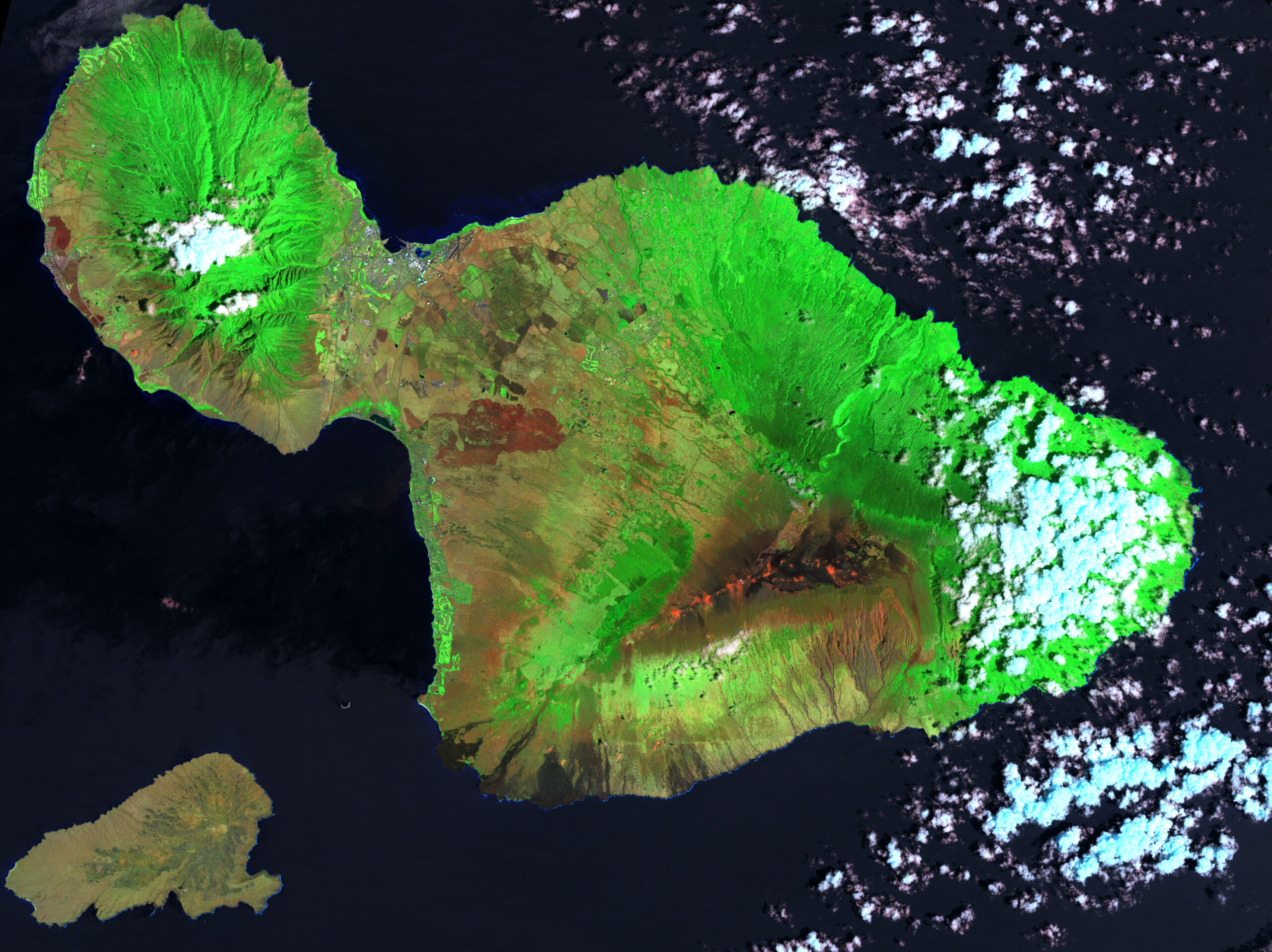
Moloka'i and Lanai
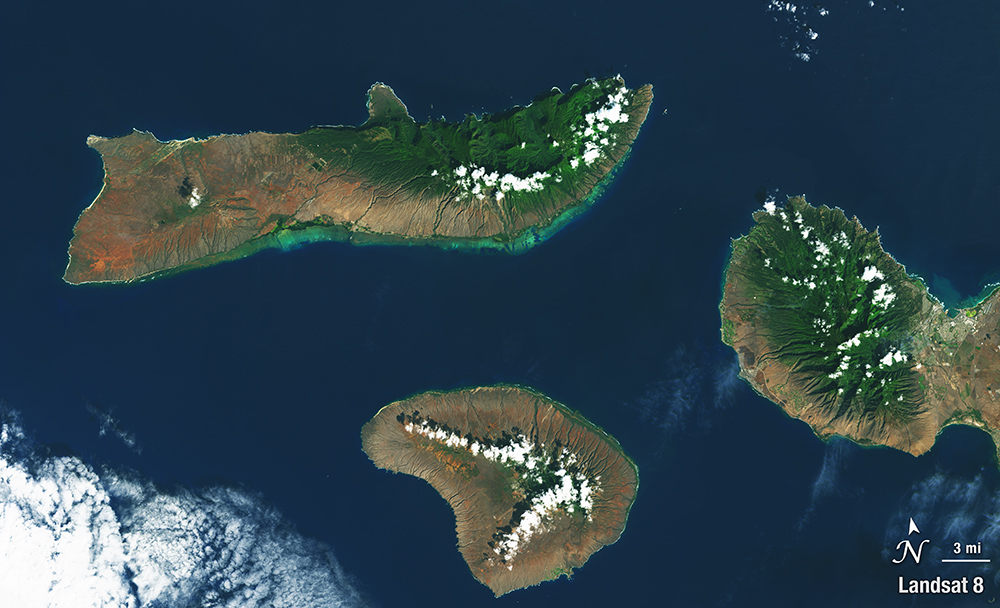
- Moloka’i and Lanai – full islands (2023) High-res (TIFF), Low-res (JPEG)
