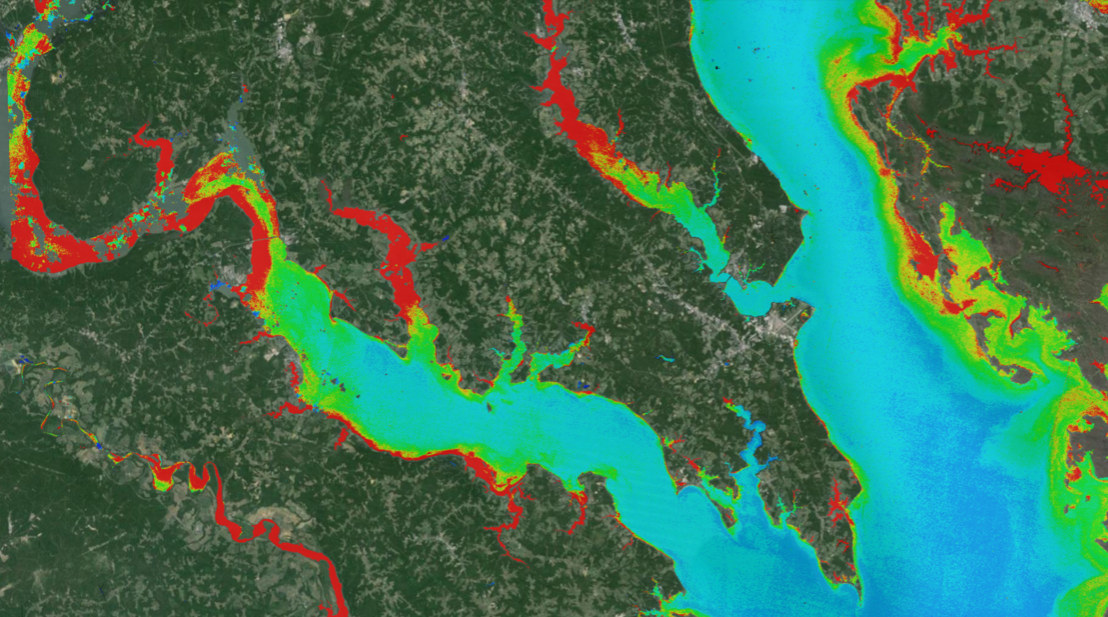
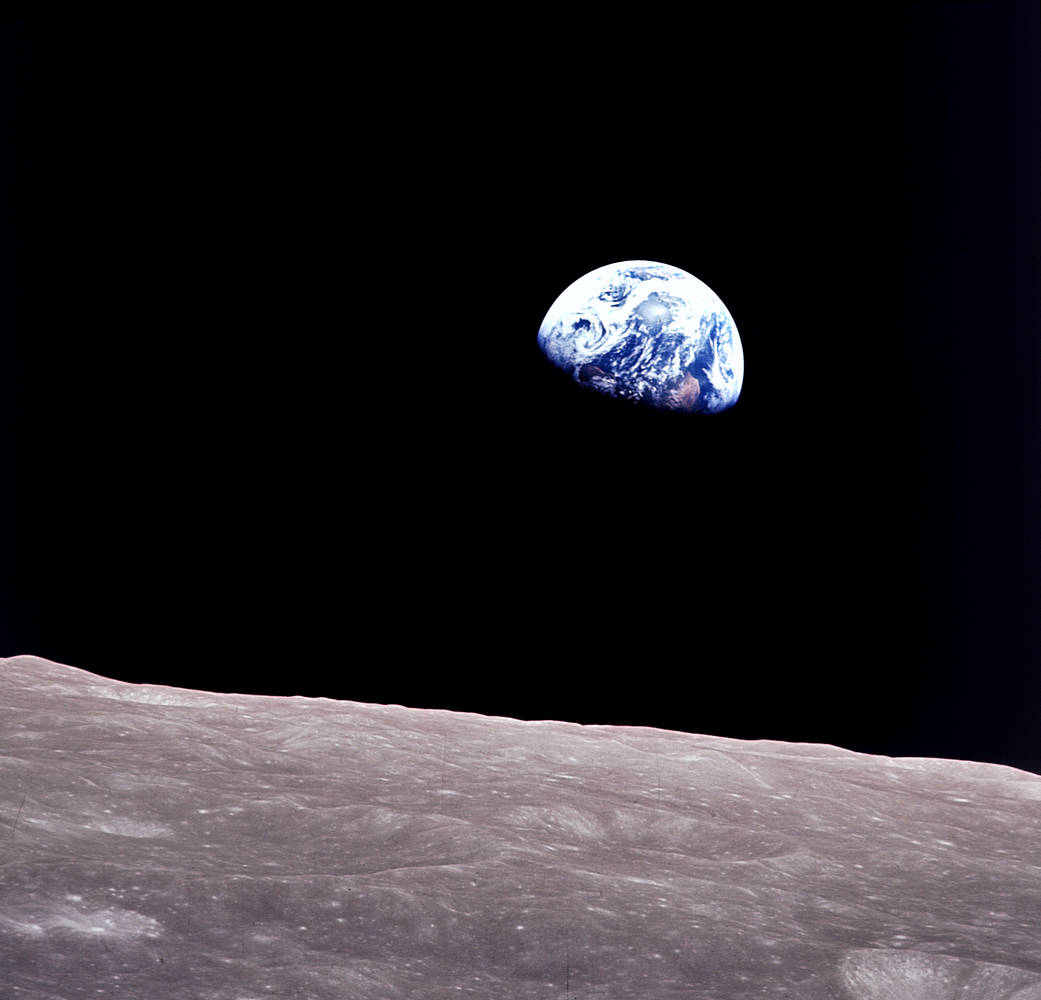
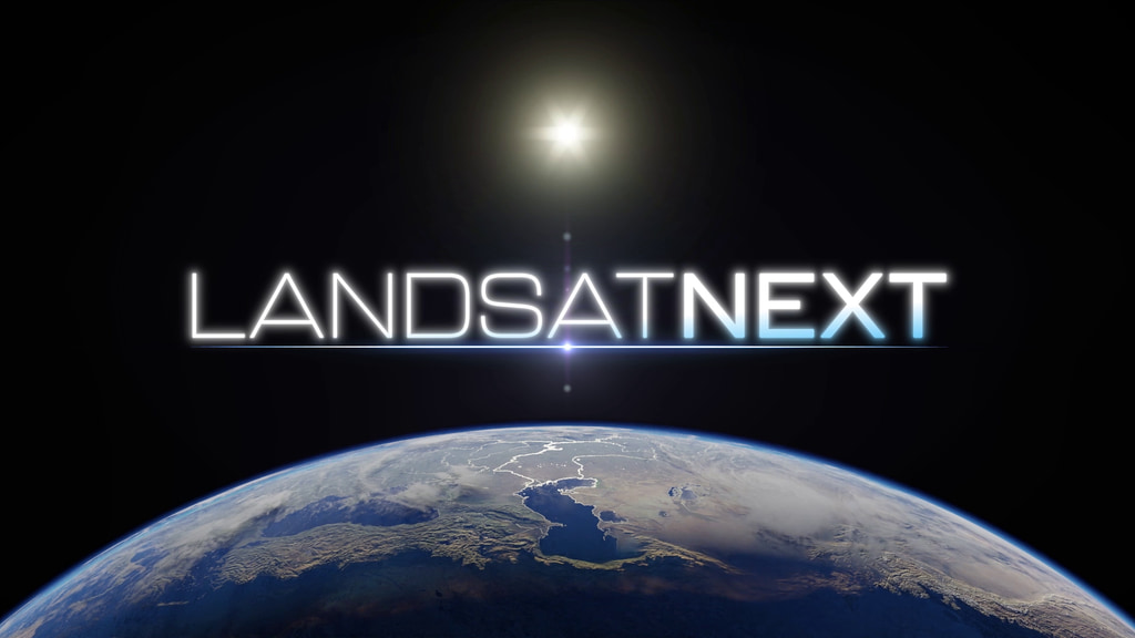
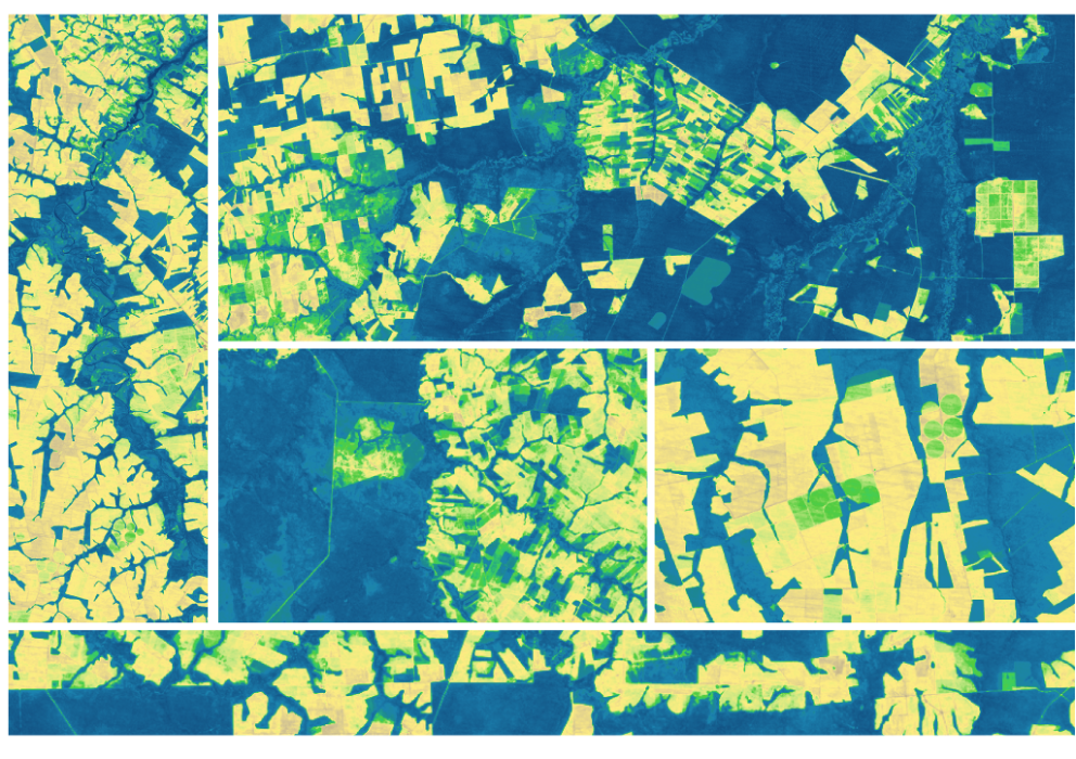
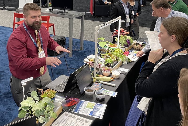
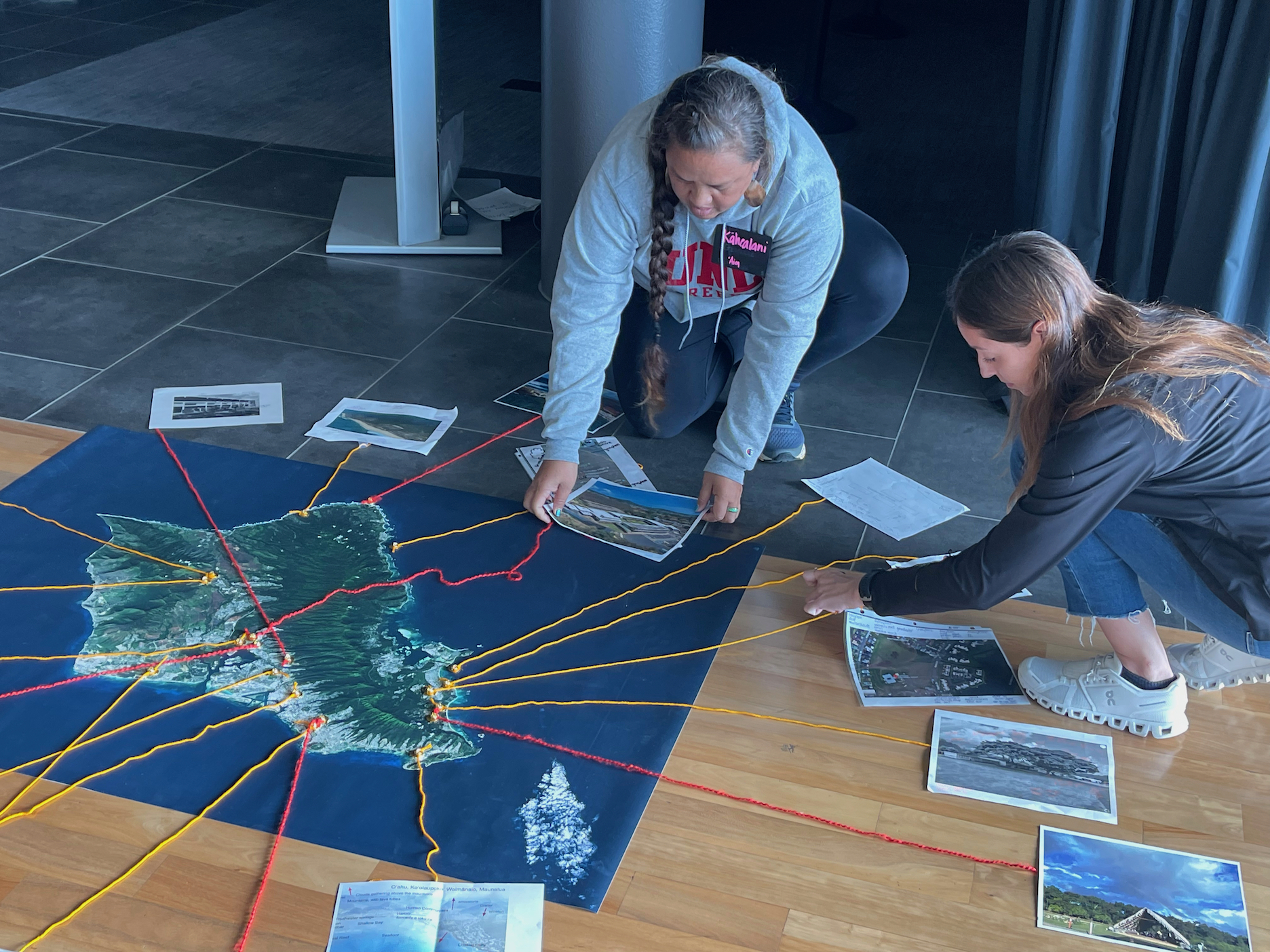
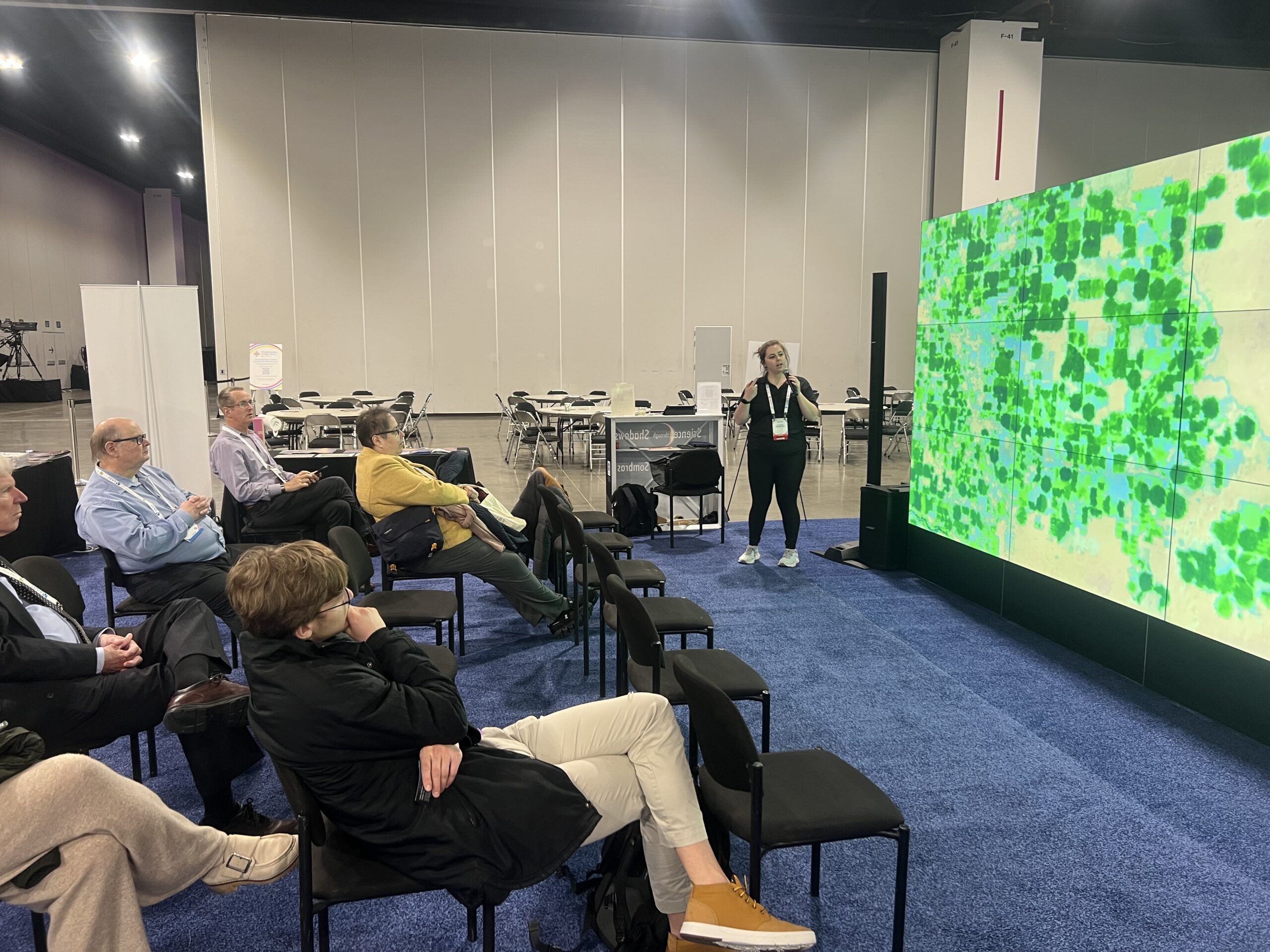
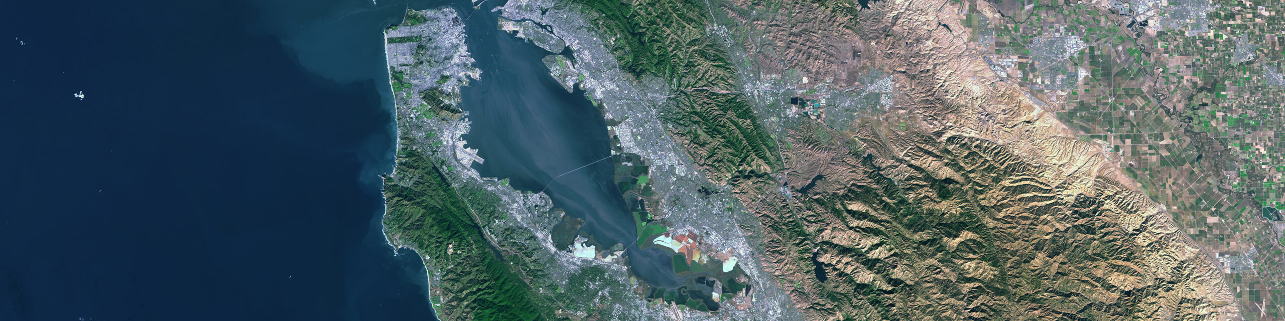
Category: News

News Archive
This is an illustration of the Landsat 7 satellite acquiring imagery of the Earth from space. The artist rendering of Landsat 7 is above an image of Earth and is scanning a swath.

A Final Farewell to Landsat 7

The Landsat 7 satellite launched in April 1999 and will be decommissioned after 26 years in orbit. Its science mission, focused on collecting imagery data of Earth’s land and inland waters, spanned 25 years.

Read More »
Landsat image of a Klamath reservoir after dam removal. A skinny dark band shows a river surrounded by silty formerly-submerged lands.

Undamming the Klamath

Between October 2023 and October 2024, the four dams of the Klamath Hydroelectric Project were taken down, opening more than 400 miles of salmon habitat.

Read More »
A headshot of Brian Markham. Tree branches can be seen in the background; Brian is smiling.

Data as Good as it Gets:
A Discussion with Brian Markham

Why do we calibrate Landsat data? We spoke with Brian Markham, a key figure of Landsat calibration science for four decades. He said that it all comes down to this: “If we’re using a system to quantify changes on the Earth, we must make sure the system we’re using is not changing.”

Read More »
Two researchers standing in a forest in British Columbia after a wildfire. There are burned trees on the landscape and short vegetation.

Understanding Forests After Fire With Landsat and LiDAR

Wildfires have been increasing in frequency and size across North America in recent years. British Columbia is no exception to that trend; more than 4% of the heavily-forested province has burned since 2017. In 2023, Canada saw its worst wildfire season in recorded history. These high intensity fires affect ecosystem health and local economies, as timber is a major industry in BC.

Read More »
Map shows South Korea with waterways highlighted. In the top right corner is a north arrow and in the bottom left corner is a legend of different rivers in South Korea.

Monitoring Water Quality in South Korea

South Korea is facing a water quality problem. Researchers Hyunglok Kim and Seongjun Lee from the Gwangju Institute of Science and Technology (GIST) embarked on developing a model to predict water quality indicators in near real-time.

Read More »
Landsat outreach specialist Allison Nussbaum and GEDI/UMD Faculty Specialist Talia Schwelling hold Landsat/GEDI postcards at the NASA exhibit booth at AGU24.

Landsat at AGU24

The NASA Landsat Science and Outreach teams attended the American Geophysical Union’s annual meeting in DC in December. At AGU24, they shared research and educated the public about Landsat.

Read More »
A smiling Ally (left) and Ross (right) hold up their favorite Landsat letters: A (Ally) and O (Ross).

Finding Your Name in Landsat

More than 715,000 visitors have transcribed their names and messages into Landsat letters using the “Your Name in Landsat” tool since it was unveiled in August as part of Camp Landsat 2024.

Read More »