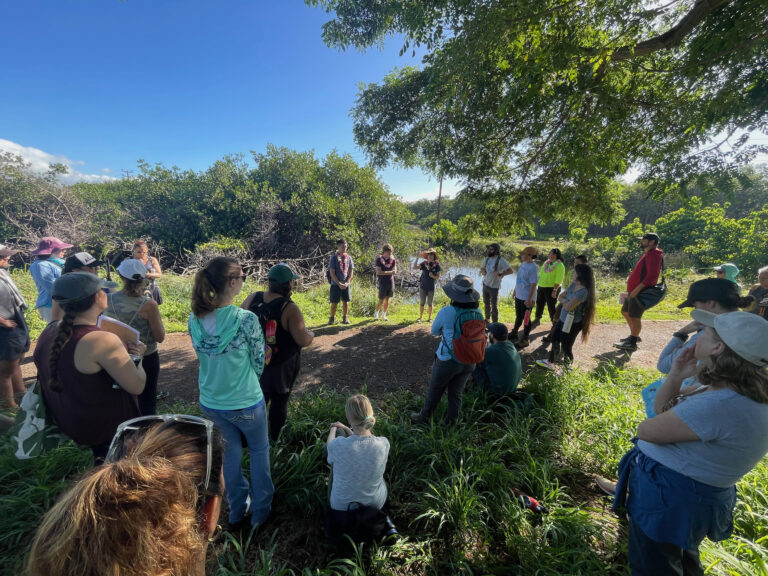
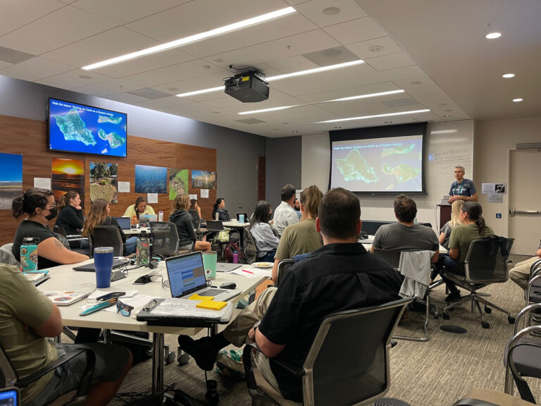
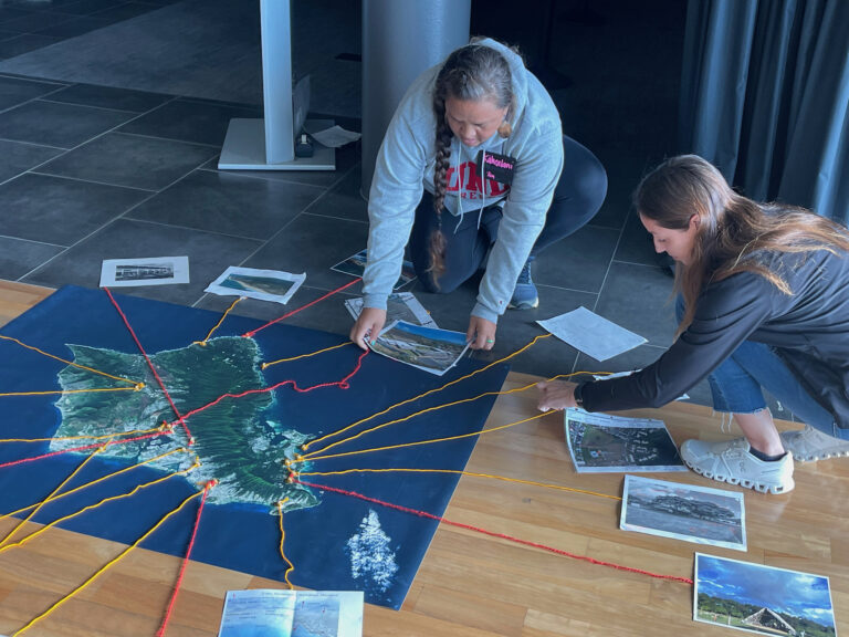
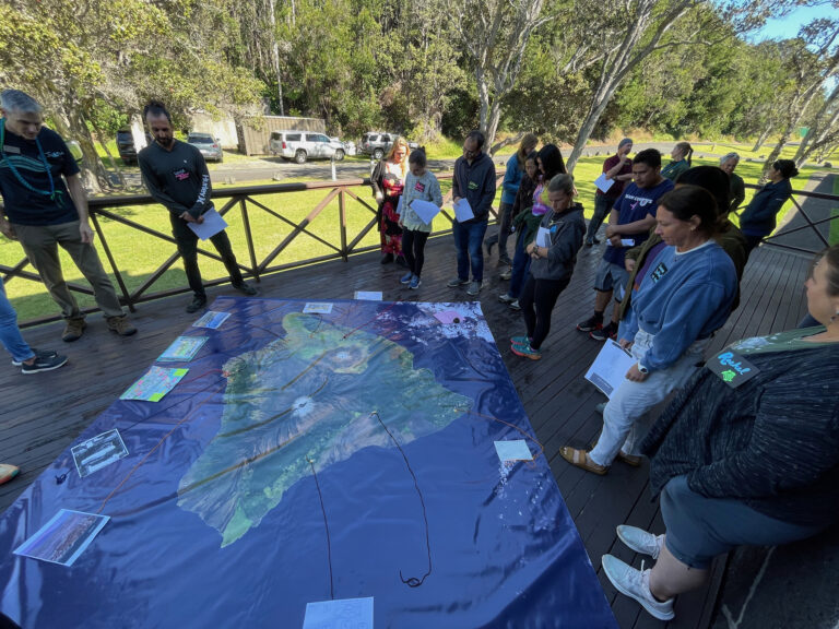
Search
Close this search box.

Landsat Goes to Hawaiʻi to Help Inspire Climate Change Connections

Landsat Goes to Hawaiʻi to Help Inspire Climate Change Connections

During two recent Earth to Sky (ETS) Climate Science Education workshops, participants learned how the Landsat data record helps us understand the impacts of climate change and how Landsat images can be used to visualize and assess changes in land cover and land use. The workshops, organized by ETS’s Genevieve de Messieres, John Ceballos, and the Hawaiʻi regional team, took place in January 2024 and were tailored for informal and 4th-8th grade formal educators from Hawaiʻi Island, Maui, Molokaʻi, and Oʻahu.

To help foster a growing regional community around climate education in Hawaiʻi, the workshops focused on three objectives: 1) build pilina with people and place, 2) develop an understanding of climate science and tools specific to Hawaiʻi, 3) engage with climate science researchers and educators, and 4) develop learning products.

The word Pilina is Hawaiian for association, relationship, and connection.

Ginger Butcher, a Landsat Senior Outreach Specialist, delivered two presentations catered to the different Hawaiian islands. She highlighted natural events and features that can be seen and monitored using Landsat images including land cover and land use change. A gallery of Hawaiʻi islands Landsat images was created by team members Ross Walter and Ally Nussbaum and made available online for educators to use in their classrooms. 

The presentations also included a demonstration on how to access, download, and compare Landsat images in NASA’s Worldview online viewer including the 2023 Maui fires and 2016 snowstorm on Mauna Kea.

In addition to an extensive variety of Landsat resources which included large floor maps of the islands and demonstrations of the STELLA instrument, particular NASA resources shared included My NASA Data, the NASA Fire Information for Resource Management System, and the NASA Sea Level Projection Tool.

Evaluation feedback revealed that teachers feel confident incorporating Landsat images and data into their projects. Butcher demonstrated the STELLA spectrometer and air quality instrument and how they can be used to take in situ measurements. Educators gained literacy with NASA resources that they can share with their students to help empower future citizens and scientists.

This effort represented a strong collaboration between NASA, NOAA, NPS, and local experts including the Marine Sanctuary Foundation, and Hawaiʻi State Department of Education. To learn more about the program, visit the Hawaiʻi Hui Climate Science Educators Workshop website.

Earth to Sky (ETS) originated in 2004 within the Landsat Education and Public Outreach team as a partnership with other federal agencies to provide face-to-face, distance-learning and blended learning opportunities. Since 2008, the effort has focused on climate change science and communication. This collaborative approach to interagency professional development brings scientists and educators together in collegial learning environments with an emphasis on integrating course content in participants’ work environment. The ETS network has now expanded to include a growing network of nine regional teams that provide climate communication training tailored to their regions.

Learn more about this program on the Earth to Sky website.

On Key

Recent Posts

On Key

Related Posts