
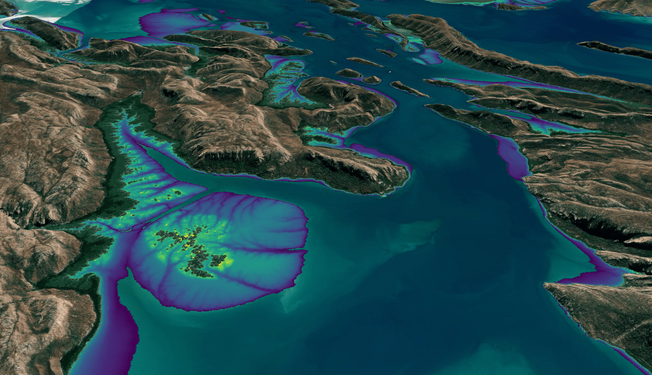
This month, the Digital Earth Australia (DEA) team released a new Landsat and Sentinel-2 based intertidal data product. The new data set characterizes the tidal shoreline zone of Australia in more detail than ever before.
The released DEA Intertidal core products include shoreline elevation and intertidal zone exposure time—how long intertidal regions are not underwater. This information is valuable in an ecological context because the unexposed areas are forging grounds for migratory shore birds, including some endangered species.
Further details can be found on the Digital Earth Australia website; see “Understanding the coastal zone’s multiple dimensions with DEA Intertidal product suite.”
Related Reading
+ Shifting Shores of the Australian Continent Mapped with Landsat (Dec. 2021)
+ More than Naught: The “Z” of Where Land Meets Sea (June 2019)
+ Welcome to the Intertidal Zone: Mapping Australia’s Coast with Landsat (May 2017)


