
Using satellite imagery is a cost-effective way to assess burned areas and triage mitigation measures post-wildfire, a recent report found. Federal agencies can save as much as $7.7 million annually in post-fire costs by using Landsat.
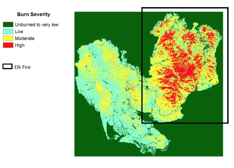
The study focused on the U.S. Forest Service’s Burned Area Emergency Response (BAER) program.
Using a “value of information” approach, the study authors compared the costs of producing BAER maps (specifically Burned Area Reflectance Classifications) with and without satellite imagery. They looked at map creation with Landsat data and with commercial satellite imagery, and found:
“In both cases, satellite imagery (in particular, Landsat) is the most cost-effective way to input burn severity information to the BAER program, with cost savings of up to $35 million over a five-year period.”
The study was conducted by Resources for the Future (RFF), a DC-based nonprofit research group, through cooperative agreement with NASA (VALUABLES Consortium).
Read the full report here.
Related reading:
+ The Synoptic View of California’s Camp Fire: A Scorching Reality of Today’s Fires
+ Blazing Fast Relief: A NASA-Supported Tool is Accelerating Wildfire Recovery


