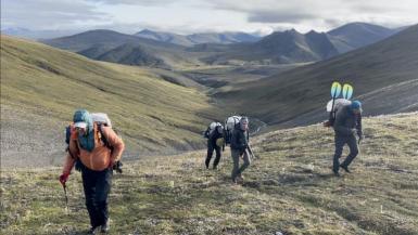
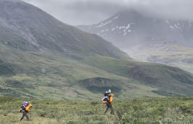
October 06, 2021 • In the summer of 2021, on the tundra of Alaska’s remote Brooks Range mountains, a team of researchers trekked some 800 miles making detailed notes of vegetation conditions on the ground. This field data, collected with a smartphone app over Landsat pixel-sized 30-square-meter plots of land, is being used to better decipher the Landsat satellite data record and thereby better understand what impacts climate change is having on the Arctic.
What happens in the Arctic has relevance for us all. As research participant Logan Berner said, “Arctic greening is really a bellwether of global climatic change.”
Two recent NASA blog posts share what it was like to be on this field trip and why the field-collected data is an important part of understanding the changes happening to the plant communities of the Arctic. You can read those posts here:

Too Remote, Too Wild, and Too Cold: Helping Satellites See Arctic Greening With Boots on the Ground
by Roberto Molar Candanosa
for NASA Earth Expeditions

Unraveling the Mysteries of Arctic Greening and Browning
by Logan Berner, Patrick Burns, and Roman Dial
for NASA Earth Observatory
Related Data Set:
ABoVE: Landsat Tundra Greenness and Summer Air Temperatures, Arctic Tundra, 1985-2016


