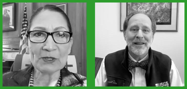
USGS Director Talks Landsat
In an Instagram Live event titled “Guided by Science,” Deb Haaland, U.S. Secretary of the Interior, spoke with USGS Director Dr. David Applegate. The Landsat portion of that discussion is shared here.

In an Instagram Live event titled “Guided by Science,” Deb Haaland, U.S. Secretary of the Interior, spoke with USGS Director Dr. David Applegate. The Landsat portion of that discussion is shared here.
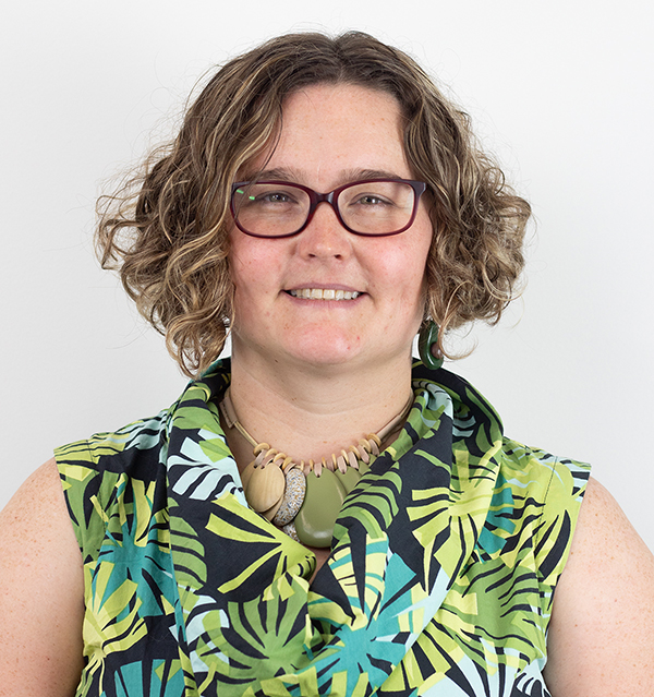
Bex Dunn is an Earth Observation Scientist at Geoscience Australia where she uses Landsat data to better understand wetlands.
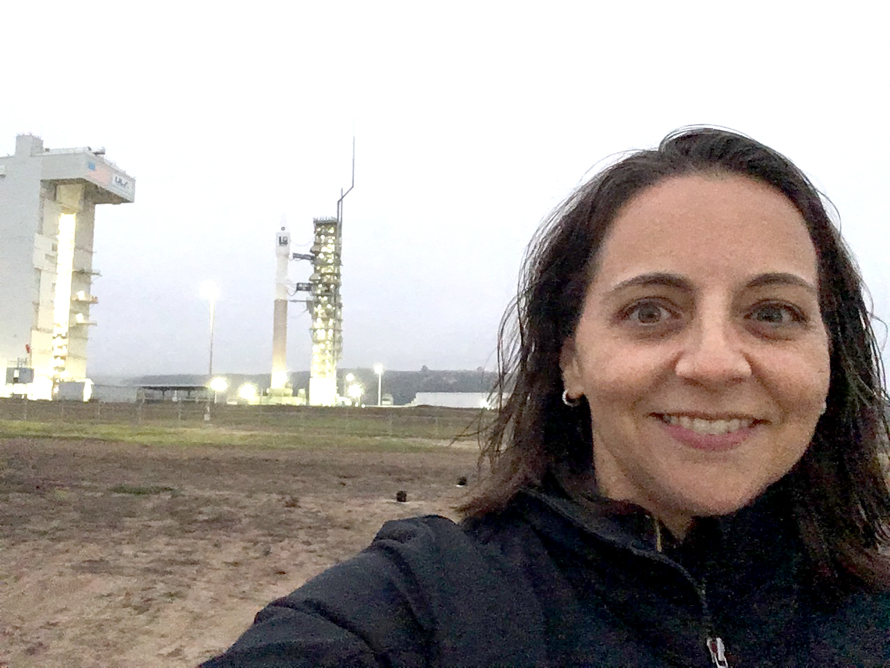
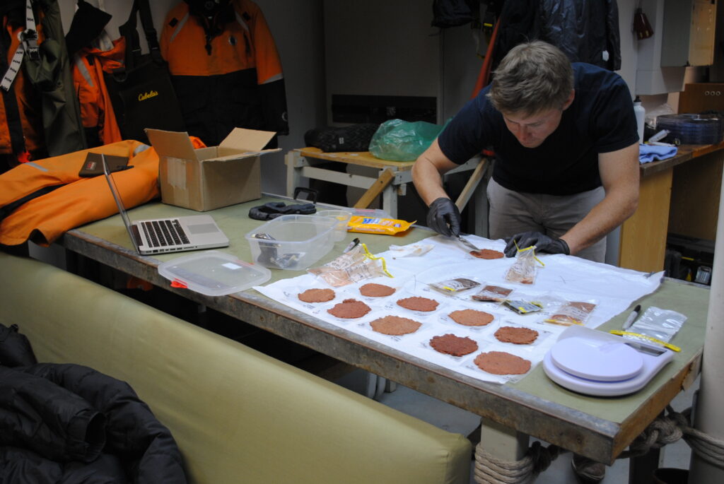
Julia Barsi calibrates instruments on Landsat satellites.
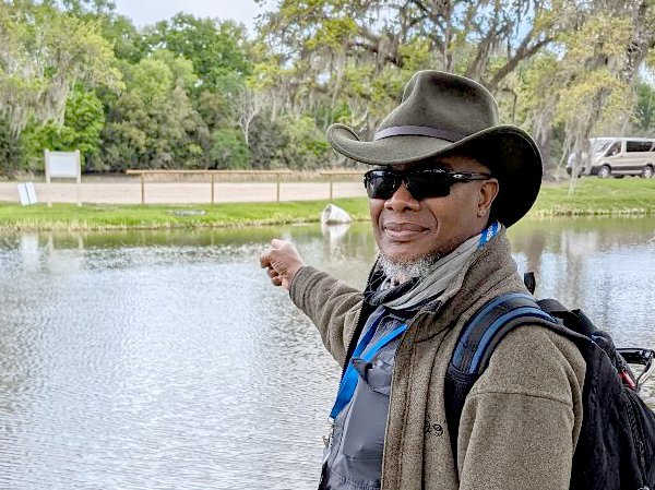
Washington-Allen is a longtime Landsat data user working towards drylands restoration and sustainability solutions.

Wu wants anyone to be able to derive meaningful information from geospatial data like Landsat.
The Harmonized Landsat Sentinel-2 (HLS) project offers daily, 30-meter global land surface data products to facilitate a wide range of terrestrial Earth science research.
Justin Braaten is a code wizard, helping everyone from wildlife ecologists to machine learning experts more easily use Landsat.
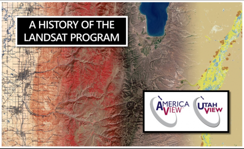
UtahView’s Ellie McGinty has created a Google Earth Web Map showcasing Landsat’s history.
Goldberg will launch Cloud to Classroom, an innovative project that uses satellite imagery to help K-12 classrooms understand global environmental change through remote sensing.
How the fields of epidemiology and remote sensing intersect to help the public.
Ecologists are using Landsat to locate waterbird habitat that may be vulnerable in dry years.

Landsat-based urban extent and phenology indicators provide new information about urban environments.
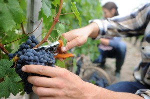
IndigoAg is using HLS data to help fulfill its mission of making farms more profitable and sustainable.
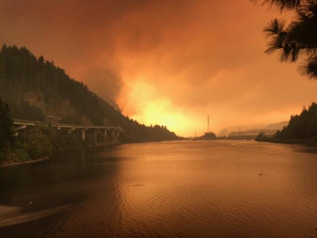
Fires in forested watersheds that support drinking water supplies can introduce contaminants that overwhelm current treatment capabilities. Earth observation data are helping.
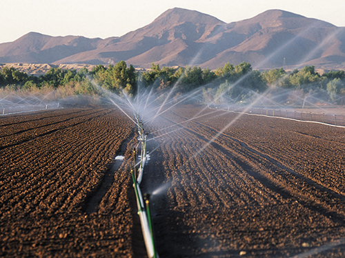
New Mexico is one of the most arid states in the US, and precise and accurate information on water use is of utmost importance.
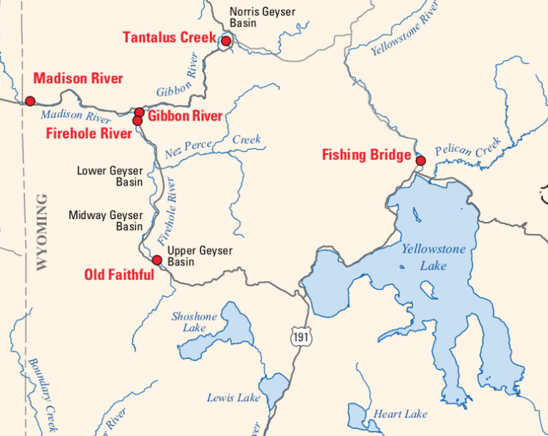
Landsat is among the resources that scientists are using to assess hazards and track volcanic activity in Yellowstone.
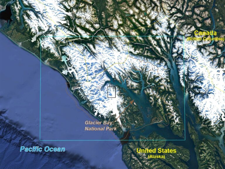
Southwest Banks Island has experienced the deleterious effects of climate change.
December 11, 2019 • Dr. Christopher Shuman is a glaciologist with NASA Goddard Space Flight Center and the University of Maryland at Baltimore County. Here is
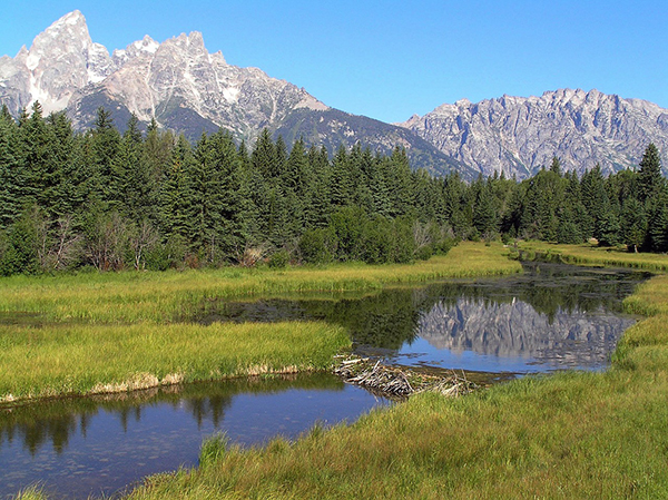
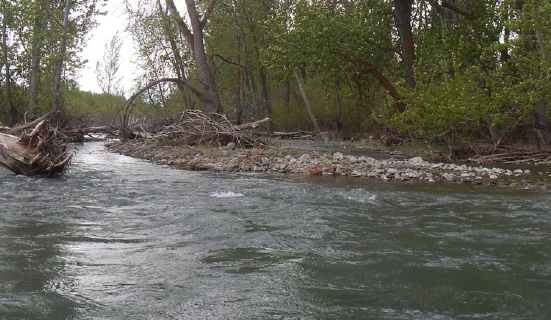
Landsat helped confirm and quantify what was only anecdotally known before: beaver dams make wetlands uniquely resistant to wildfires.
Remote sensing can aid the monitoring and evaluation of incentivized farming programs like the one in Maryland.
Socio-economically vulnerable populations are at a higher risk of experiencing urban heat effects.
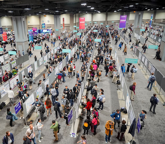
At the 2019 AGU Fall Meeting, over 500 presentations feature research conducted with the aid of Landsat data.
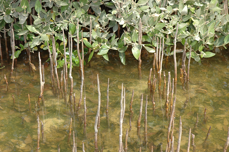
A group of researchers have used Landsat data to help solve a case of missing mangroves in Saudi Arabia’s Jubail Conservation.
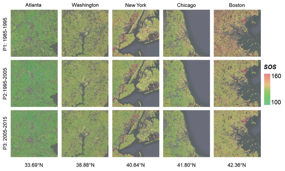
New insights on how vegetation phenology in urban and surrounding areas respond to urbanization.
USGS EROS scientists are leveraging the capability and history of Landsat along with weather data to map landscape-wide water consumption.
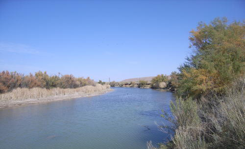
For larger rivers, Landsat provides a rich dataset to define spatiotemporal patterns of channel shifting.
Landsat thermal bands allow for the measurement of water use and moisture status at the management scale.
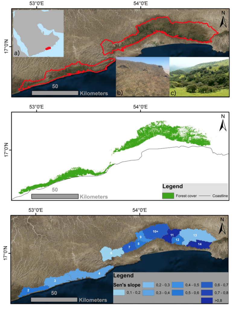
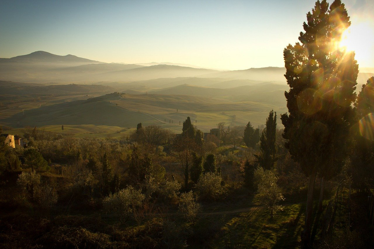
Learn more about this rather unusual seasonal and semi-arid cloud forest.
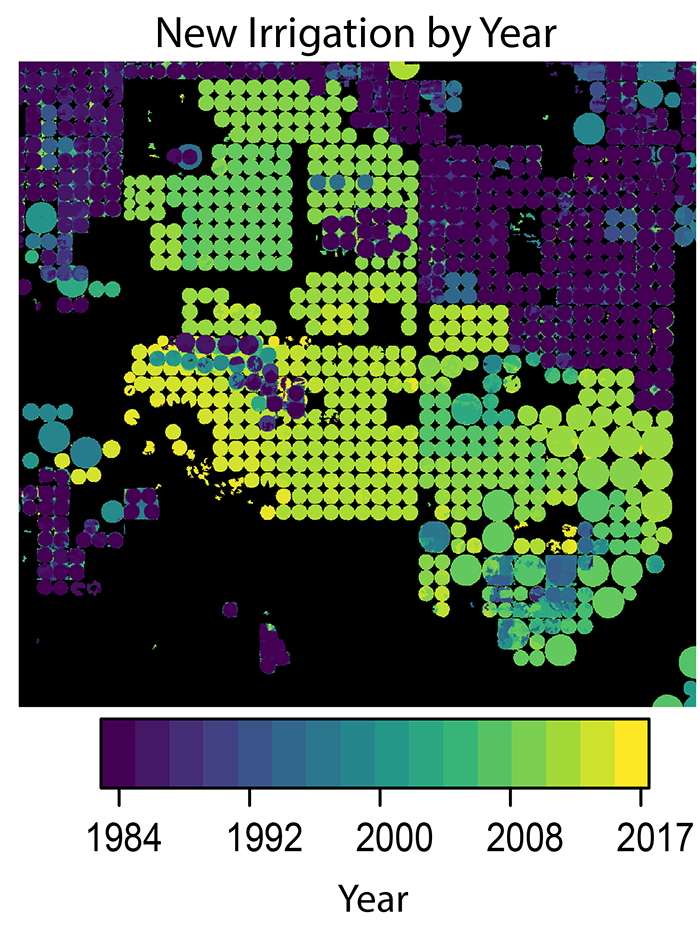
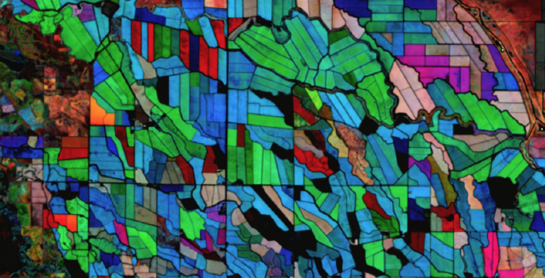
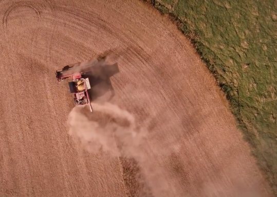
A new method to use the full Landsat archive to produce annual maps of irrigated area over the High Plains Aquifer in the central United States.
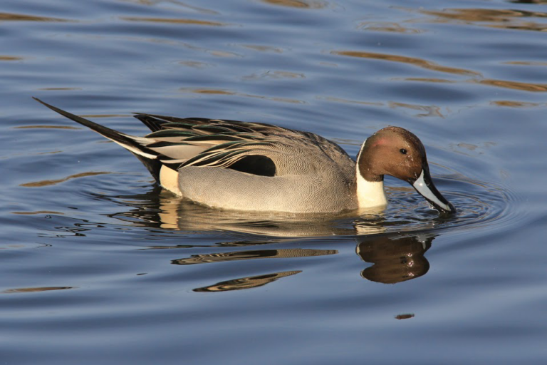
Scientists are now able to determine what penguins are eating from space.

Landsat 8 allows for the acquisition of spectral data for monitoring water quality from lakes and drinking water reservoirs across the United States.
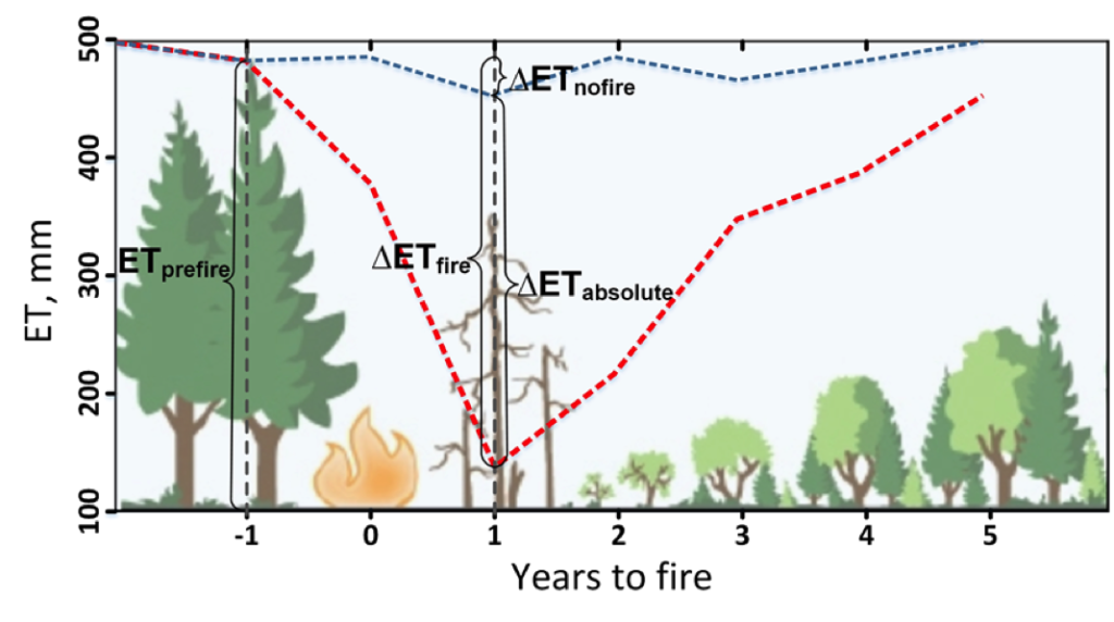
Fires play an important role in regulating forest density, vegetation water use, and runoff.
