
Andrew Nelson is a senior geomorphologist with Northwest Hydraulic Consultants in Seattle, Washington. Here is what Andrew shared with us about the work he is presenting today at #AGU18:
Multi-scale Geomorphic Visualization to Understand, Manage, and Communicate Local Flood Hazards: a Geomorphologist’s Perspective
What are the major findings of this research?
We have found that integrating river-scale geomorphic investigations into flood hazard studies creates an opportunity for cost-saving during the geomorphic investigation and increased value for the flood study.
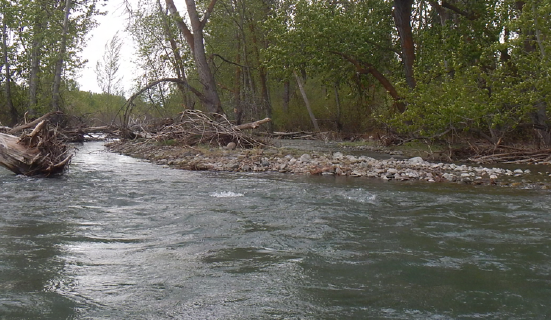
A particularly useful format for communication and dissemination of the geomorphic investigation findings has been the assembly of geomorphic atlases (here is a link to an example published by Yakima County in Eastern Washington PDF, 56 Mb), which present map- and graphical data visualizations at a range of overlapping geographic scales. This enables stakeholders who may know a local area intimately to better understand the connection of those conditions to processes occurring over longer spatial and temporal scales.
What are the implications of your findings?
River managers should consider conducting geomorphic investigations as an integral part of flood hazard studies. This gives a better perspective on the timescale of validity for the hydrologic and hydraulic underpinnings of the flood modeling and fuller perspective of the whole suite of hydrogeomorphic hazards affecting the valley bottom.
What role does Landsat imagery play in your analysis and/or data visualization?
Landsat data represents one of the routine data sources that gets included in the preparation of a geomorphic atlas. In much of the world, it remains one of the most accessible ways to assess and prepare maps to communicate basin-scale landcover and land use. For larger rivers, where the scale of the channel can be clearly resolved in Landsat imagery, it provides a rich dataset to define spatiotemporal patterns of channel shifting.
Recently, I’ve found the ability to animate a long time series of imagery showing river evolution extremely helpful for enhancing both my own understanding of river dynamics and communication to others. Recent changes like the advent of Google Earth Engine’s Timelapse feature and the higher radiometric resolution of Landsat 8 imagery have substantially increased the utility of Landsat data for my work. Google Earth Engine’s Timelapse has dramatically reduced the amount of effort required to produce animations showing channel change through time and the reduced pixel size of Landsat 8 imagery has substantially broadened the scope of rivers where it is a useful dataset.
Do you consider the open Landsat data policy pertinent to this work?
Absolutely, it is the high temporal resolution, long period of record, and accessibility of the dataset that has resulted in it becoming an important data source for this work. It is particularly important for our work on international large rivers where aerial photography is not generally available.

Co-authors:
Karin Boyd
Applied Geomorphology Inc.
Kathy V Dube
Watershed GeoDynamics
Anyone can freely download Landsat data from the USGS EarthExplorer or LandsatLook.
Further Reading:
+ Landsat at #AGU18


