
 MacKenzie Friedrichs is a Remote Sensing Scientist with Stinger Ghaffarian Technologies working at the U.S. Geological Survey Earth Resources Observation and Science Center in Sioux Falls, SD. Here is what Mac shared with us about the work being presenting today at #AGU18:
Advances in SSEBop Evapotranspiration Modeling within a Cloud Computing Environment for Large Area Water Use Mapping
What are the major findings of this research?
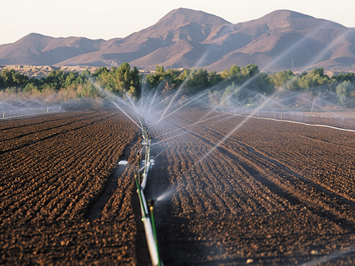
Using cloud computing resources for planetary-scale analysis capabilities, USGS EROS scientists are leveraging the capability and history of Landsat along with weather data to quantify and map the spatial and temporal distribution of landscape water consumption, i.e. water used/lost by the soil-vegetation complex and then returned to the atmosphere as evaporation and transpiration.
Evapotranspiration (ET) estimates, generated using remote sensing and climate data, are important for global, national, and regional water management and budget decisions.
What are the implications of your findings?
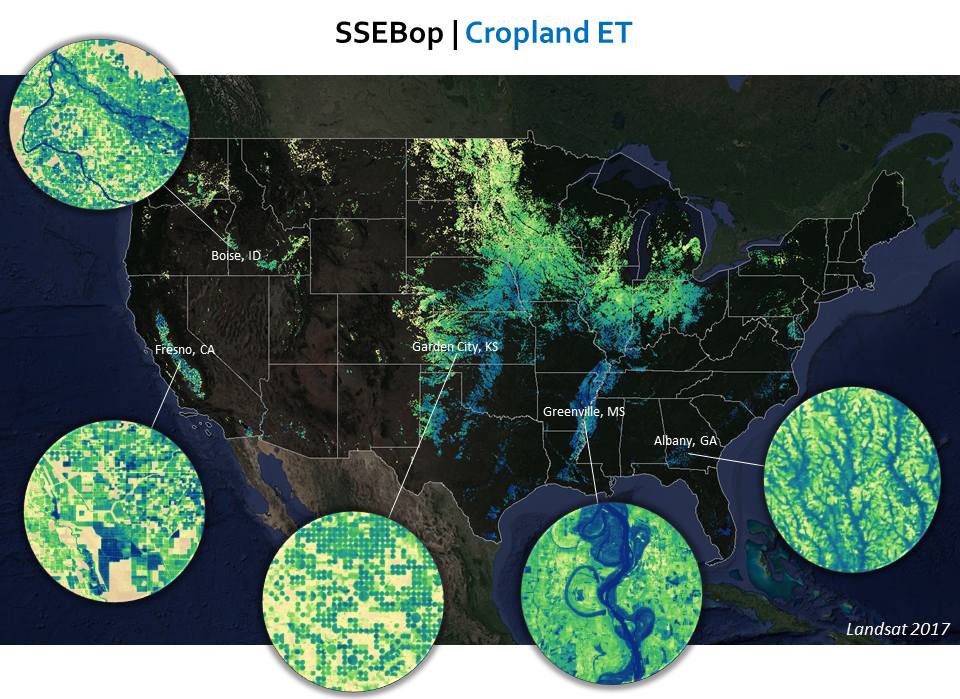
Innovative cloud computing resources for remote sensing science have enabled advanced developments for solving complex largescale water management data gap challenges across space and time. Using 30-meter resolution Landsat data and the Operational Simplified Surface Energy Balance (SSEBop) model, multi-year large area results are now supporting the National Water Census through field-level and basin-scale ET information for water resources assessment, development, and management.
What insight did you gain from Landsat that would have been difficult to ascertain otherwise?
1. Landsat provides the ideal combination of coverage and scale, along with a vast archive, to capture necessary field-level ET observations across all landscapes through time.
2. Landsat’s quality calibration and thermal imaging capabilities means that energy balance ET techniques can be used to accurately determine how much water is being used and where.
What is the National Water Census and how does your Landsat-based ET work support it?
The goal of the National Water Census is to provide nationally-consistent base layers of well-documented data for assessment of status and trends of water availability and use in the U.S. This goal is supported through the USGS Water Availability and Use Science Program which works to understand and quantify the inputs, outputs, and changes in the water budget.
Landsat-based ET is one of the primary building blocks of the water budget base layers, providing more accurate and finer scale information relevant to local management decisions related to water availability and use.
Co-authors:
Charles Morton
Desert Research Institute
Gabriel B Senay
U.S. Geological Survey Earth Resources Observation and Science
Justin L Huntington
Desert Research Institute
Anyone can freely download Landsat data from the USGS EarthExplorer or LandsatLook.
Further Reading:
+ Landsat at #AGU18
+ USGS Video: Landsat in Action—Water Use with Molly Maupin and Gabriel Senay
+ Solving the Riddle of Water Use in the Upper Klamath Basin, USGS EROS
+ Farm Crops for City Drops: Assessing Water Right Transfers With Landsat, AGU17 Q&A
+ Watching Water Use in the Southwest, AGU16 Q&A


