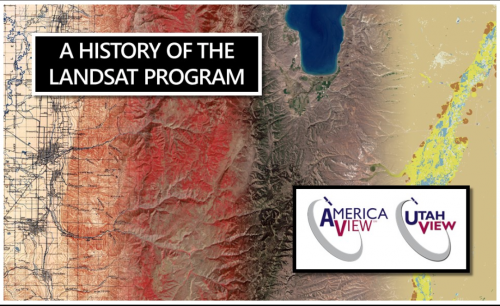
Mapping Landsat’s Long History
UtahView’s Ellie McGinty has created a Google Earth Web Map showcasing Landsat’s history.

UtahView’s Ellie McGinty has created a Google Earth Web Map showcasing Landsat’s history.

Landsat 9 Project Scientist Jeff Masek from NASA Goddard was interviewed for NOVA Now.
November 30, 2020 • This month, the world lost a giant in the world of quantitative remote sensing. David A. Landgrebe passed away on November 21,
Scientist and Landsat data user Africa Flores recently talked with Science Friday about her work.
In Beck’s “Hyperlife” video, the abstract beauty of our planet morphs from geographic location-to-location with the flow of the etherial track.
We have Virginia Norwood to thank for the design and engineering that made the Landsat program a success and set the path for modern Earth observation.

Goldberg will launch Cloud to Classroom, an innovative project that uses satellite imagery to help K-12 classrooms understand global environmental change through remote sensing.
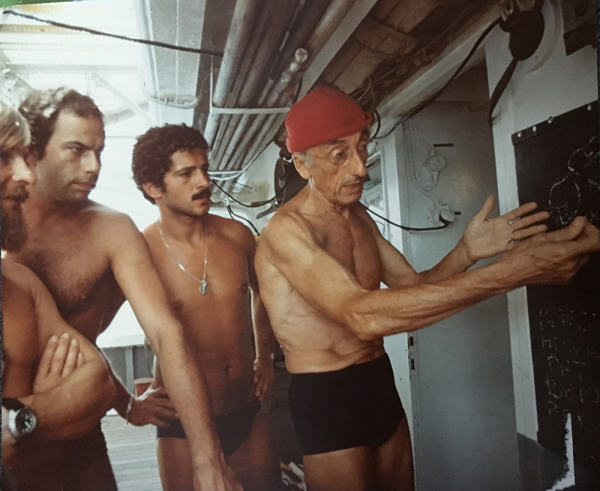
In August 1975, Jacques Cousteau and his divers helped determine if Landsat could measure the depth of shallow ocean waters.
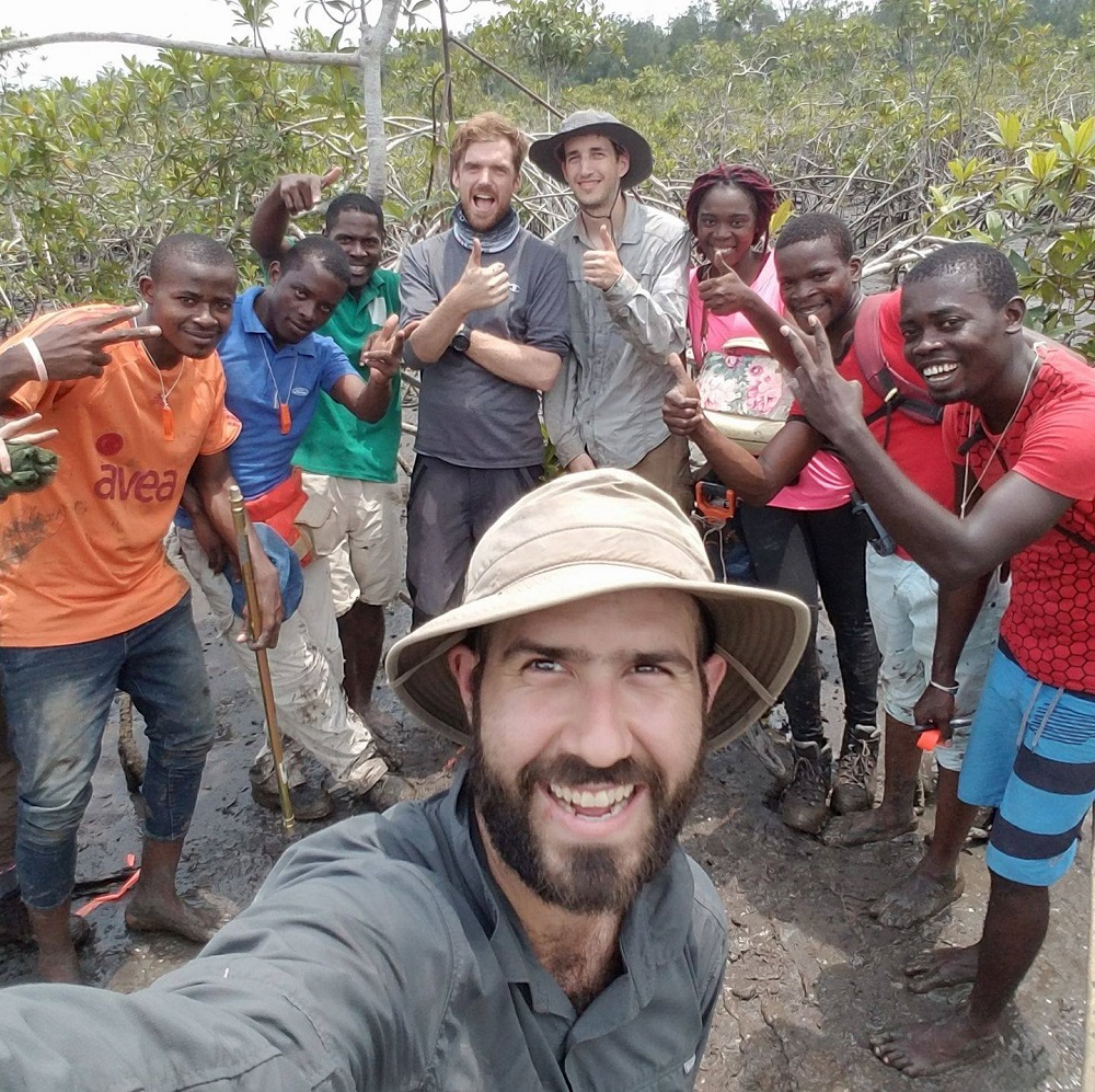
Coastal ecosystems are some of Earth’s most biologically diverse environments, especially coastal mangrove forests. Dr. Lagomasino uses Earth observing data to study these vital biomes.
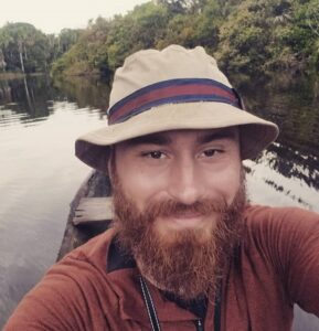
Dr. Eric Bullock uses Earth observation data to explore the consequences of land use and land cover change in high biodiversity areas.

Zhe Zhu has dedicated his research career to learning what’s happening on our planet from satellite images of Earth.
The 2019 Pecora Award recipients include former Landsat Science Team leader Thomas R. Loveland and the Terra Science and Flight Operations Team.
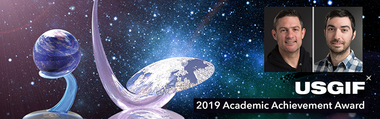
Aaron Gerace and Matthew Montanaro earned the 2019 USGIF Academic Achievement Award for their work on the Landsat 8 TIRS stray-light issue.
Dr. Gao has been awarded in recognition of his original research in the application of remote sensing for crop and vegetation monitoring.
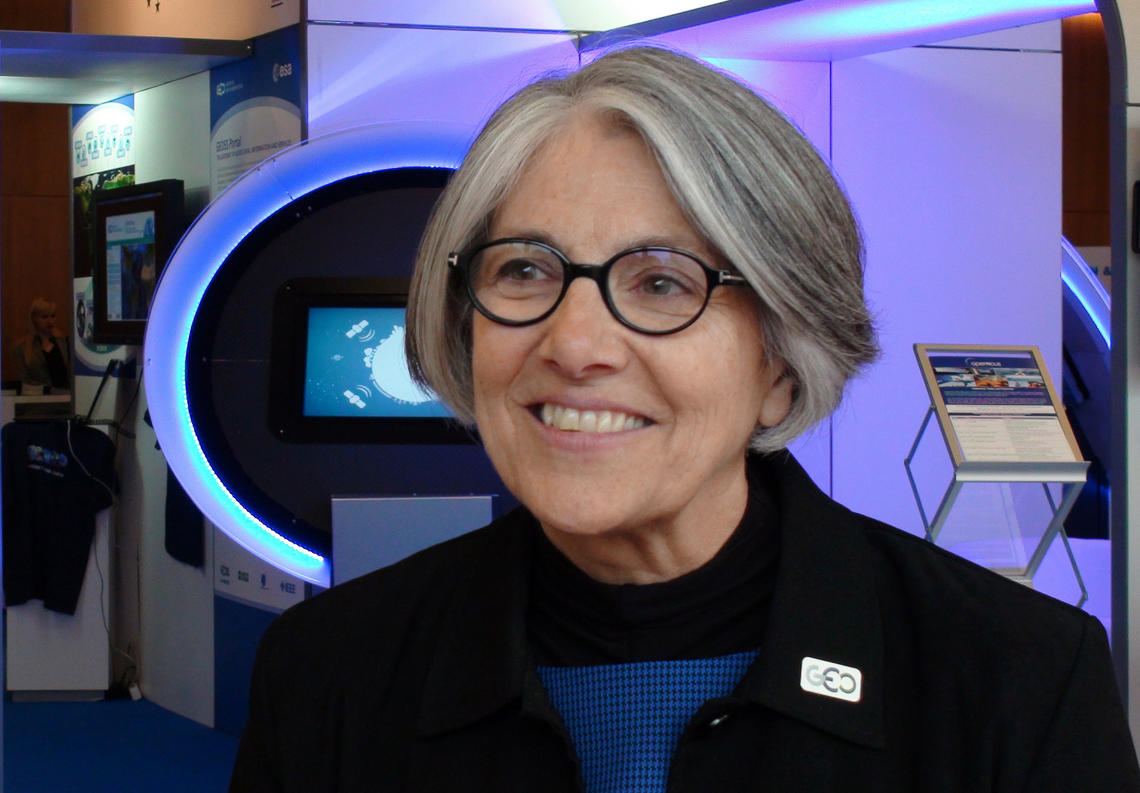
Barb Ryan was recognized with the individual Pecora award for her outstanding contributions as a scientist and visionary leader for advancing the global use of remote sensing through championing data democratization.
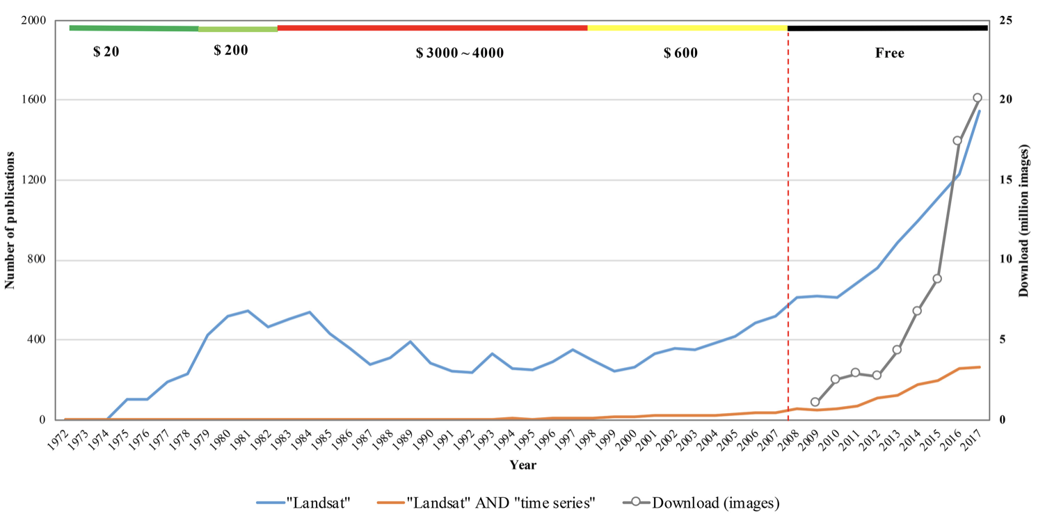
The resounding takeaway from a recent paper authored by Landsat Science Team members: Keep Landsat data free and open.
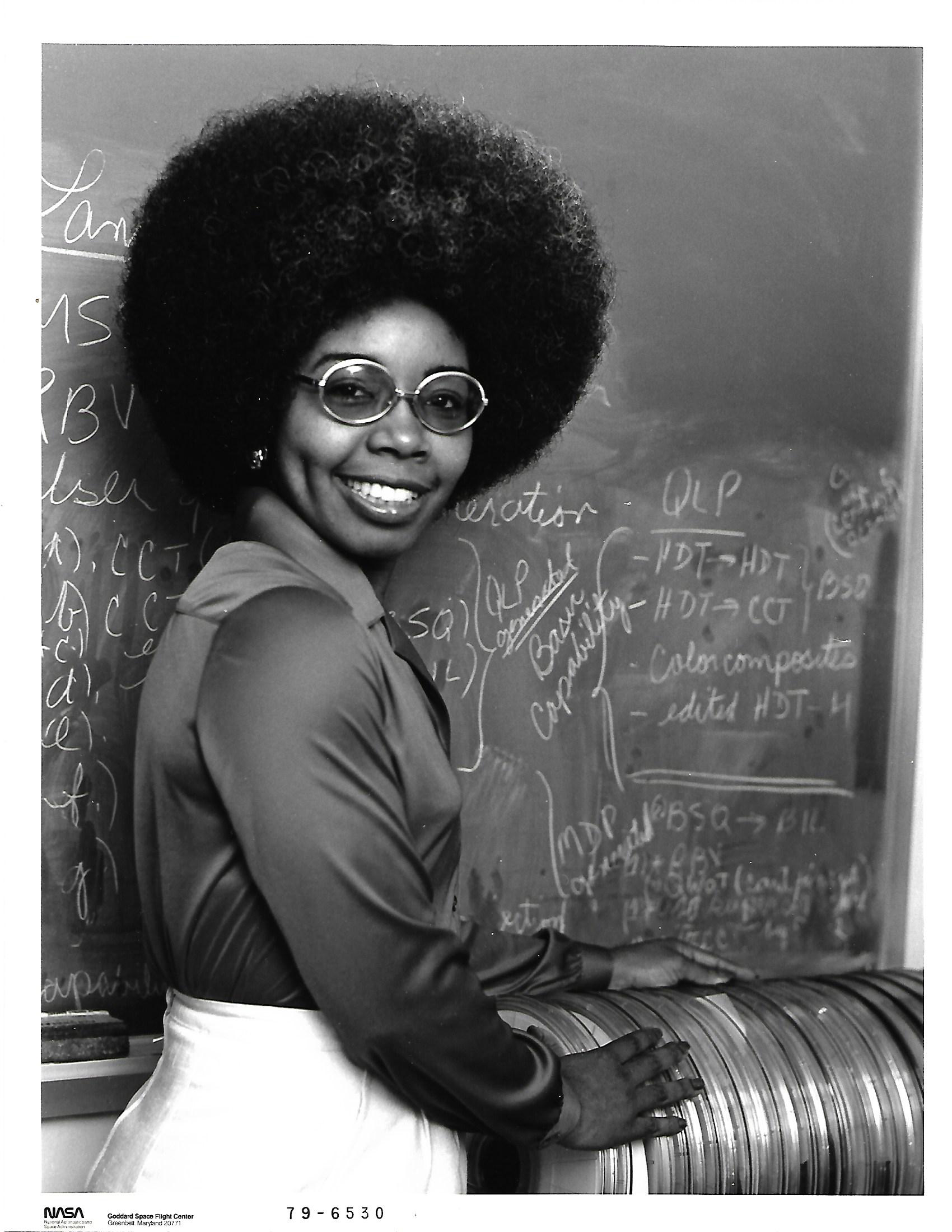
Thomas managed the development of early Landsat image processing software systems and became the resident expert on the Computer Compatible Tapes that were used to store early Landsat imagery.
C.J. Loria will oversee Landsat satellite and Earth imaging operations.
Agencies like NASA and the U.S. Geological Survey (USGS) that commit multiple millions of dollars to put Landsat satellites into space need to know that the spacecraft, the sensors onboard, the ground system operating the satellite, and the launch vehicle are all designed and built the right way.
Summer 2018 Landsat Science Team presentations have been made available by USGS.
National Park Service cartographer Tom Patterson’s mapmaking process often incorporates information from Landsat.
Landsat 9 Project Scientist Jeff Masek discusses the ways Landsat data is used and how important it is to have high quality data.
Patrick Hostert from the University of Berlin discusses the value of Landsat’s long archive to studying phenology.
Engineers and scientists from both Landsat and Sentinel missions talk about working together to calibrate observation data and validate its quality to improve the science using these resources.
Warren Cohen from the USDA Forest Service talks about the value of Landsat’s long history of observations in monitoring and assessing forests.
Q&A conducted by Laura E.P. Rocchio Grayson Cooke Artist “Open Air” is a media project of Australia-based artist Grayson Cooke that features Landsat 8 imagery
Martha Anderson talks about the value of Landsat and its thermal data for understanding agricultural lands.
Leif Olmanson talks about the value of Landsat data for monitoring the thousands of lakes in Minnesota.
Barbara Ryan, Director of GEO talks about the distribution of Landsat data.
In this USGS Landsat in Action video Mike Wulder of Canada’s Forest Service talks about the value Landsat images have for mapping and monitoring Canada’s forested areas.
Tom Loveland spoke with reporter Cara Hetland from South Dakota Public Broadcasting about his role as co-chair of the Landsat Science Team and the team itself.
A new program uses Landsat satellite data to automatically categorize what’s on the ground more accurately than other land cover products.
