Faces of NASA: Emil Cherrington

Faces of NASA: Emil Cherrington

Interview by Esprit Smith, NASA
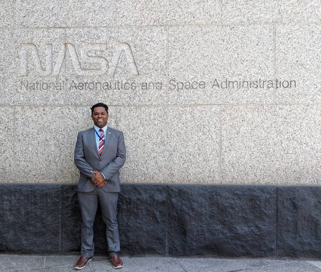
Emil Cherrington

Lee esta historia en español aquí.

“As a kid growing up in Central America, I was fascinated by science and I was a voracious reader of science textbooks, science fiction, and comic books. Not having many real-life scientific role models, the exploits of the fictional Mentats and of Peter Parker helped pique my interest, eventually leading to the pursuit of degrees in science in the U.S. and Europe – places far from the land of my birth. In graduate school, I got my first exposure to NASA Landsat data, whose pixels seemed like puzzles that needed to be unraveled. Something clicked.

“Now, I work for NASA’s Applied Sciences Capacity Building Program as the West African Regional Science Coordination Lead for the NASA/USAID SERVIR program. In addition to still being fascinated with and getting to work with Landsat data almost 20 years later, what gets me excited about coming into work each day is the science we do, and the connections we make through the program with users around the globe who are interested in using Earth observations to make better decisions about resource allocation. Having grown up in Belize – a country that benefited from the SERVIR program’s first hub – this work continues to resonate with me. 

“It’s especially rewarding to hear from SERVIR’s users that the information that you have provided has made a difference to them, whether it has been through assistance with co-developing open science solutions or interpreting the outputs of climate models. It’s pretty inspiring to work for NASA.”

— Emil Cherrington, Scientist, NASA’s Marshall Space Flight Center

Get the latest from Landsat in your inbox.


By submitting this form, you are consenting to receive marketing emails from: Landsat Science. You can revoke your consent to receive emails at any time by using the SafeUnsubscribe® link, found at the bottom of every email. Emails are serviced by Constant Contact
On Key

Recent Posts

Map shows South Korea with waterways highlighted. In the top right corner is a north arrow and in the bottom left corner is a legend of different rivers in South Korea.

Monitoring Water Quality in South Korea

South Korea is facing a water quality problem. Researchers Hyunglok Kim and Seongjun Lee from the Gwangju Institute of Science and Technology (GIST) embarked on developing a model to predict water quality indicators in near real-time.

Read More »
Landsat outreach specialist Allison Nussbaum and GEDI/UMD Faculty Specialist Talia Schwelling hold Landsat/GEDI postcards at the NASA exhibit booth at AGU24.

Landsat at AGU24

The NASA Landsat Science and Outreach teams attended the American Geophysical Union’s annual meeting in DC in December. At AGU24, they shared research and educated the public about Landsat.

Read More »
On Key

Related Posts

Map shows South Korea with waterways highlighted. In the top right corner is a north arrow and in the bottom left corner is a legend of different rivers in South Korea.

Monitoring Water Quality in South Korea

South Korea is facing a water quality problem. Researchers Hyunglok Kim and Seongjun Lee from the Gwangju Institute of Science and Technology (GIST) embarked on developing a model to predict water quality indicators in near real-time.

Read More »