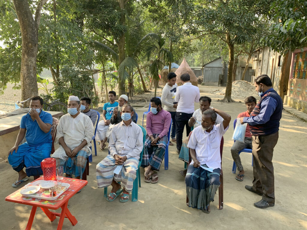
With nearly 170 million residents, Bangladesh is one of the most densely populated nations in the world. Nearly half of its residents work on or live around farms, and rice crops are critical to feeding that population.

So when researchers from the University of Washington and Bangladesh’s Ministry of Agriculture joined forces to use data from NASA and its partners to help the country’s rice farmers, the potential benefit was substantial. Through their IRAS program, short for the Integrated Rice Advisory System, researchers from UW and Bangladesh use satellite data to deliver information to farmers about how much water they are using, how much they have, and how much their crops need. The program is funded by Bangladesh’s Department of Agricultural Extension.
Rice is an essential crop in Bangladesh, and cultivating it requires a lot of water and fuel. During the country’s dry season, which takes place from January to June, farmers typically pump groundwater from aquifers. Pumping is expensive, and it usually requires burning fuels that release carbon dioxide into the atmosphere.
“To create sustainable and climate-resilient agriculture for the future, we need to minimize irrigation waste and de-carbonize the production by using affordable solutions that can be scaled globally,” said Faisal Hossain, professor of civil and environmental engineering at the University of Washington and leader of IRAS.
The IRAS team completed its first nationwide effort in June 2023, providing advisories on irrigation needs to more than 10 million farmers across Bangladesh.
Hossain and the IRAS team estimate that the program has the potential to reduce agricultural water waste in Bangladesh by about 30%, reduce agricultural fuel consumption by 45%, save $115 million annually in fuel subsidies, and reduce carbon emissions by 300,000 tons per year.

How IRAS Works
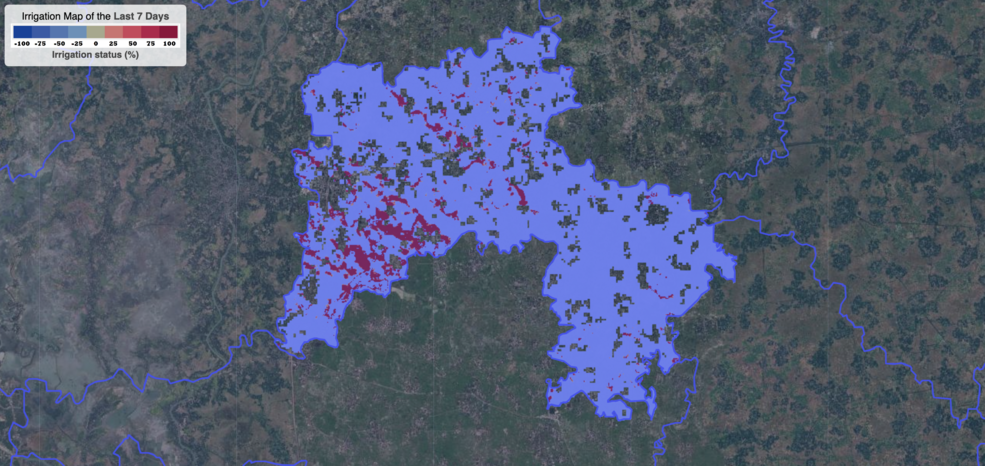
IRAS analyzes specific satellite data to craft irrigation advisories for users around Bangladesh. The advisories tell farmers how much water they need for their crops based on precipitation and groundwater measurements in the area. They can also report whether people in a region have previously over- or under-irrigated their fields.
Some of the data for the advisories comes from the NASA/USGS Landsat mission; researchers use that imagery and data to determine the water use at farming locations. Other data come from GPM, or Global Precipitation Measurement, a joint mission of NASA and the Japan Aerospace Exploration Agency. GPM tracks the total amount of precipitation in the area.
Those datasets are then combined with information from GFS, the Global Forecast System, produced by the U.S. National Weather Service. GFS provides precipitation forecasts for the upcoming week. These datasets and reports are evaluated and assembled by agricultural specialists in Bangladesh, creating a comprehensive advisory and recommendations for farmers that is specific to their location.
“The synergistic use of Landsat, GPM, and GFS can help the world become more water-efficient and energy-efficient in growing food, while also becoming more affordable and convenient for farmers,” Hossain said.
Human Impacts, Now and Later
“When I see my work positively impacting someone, even if it’s just a single person, it brings me joy,” said Shahzaib Khan, a graduate research student with Hossain at the University of Washington. “To see this work impacting so many people, that is beyond words.”
Khan worked directly with staff at Bangladesh’s Department of Agricultural Extension, as well as the country’s Agro-Meteorological Information Service, to develop and install the IRAS system.
Hossain and the team aim to expand the reach of IRAS in the coming years. Because NASA and Landsat datasets are free and accessible to the public, the doors are open to developing similar cost-effective programs. For instance, sugar cane – which is often grown in places like Africa, South Asia, and Indonesia – is another water-intensive crop that could benefit from a program like IRAS.
“Our hope is that this template can be applied to any region where we know what crop is being grown and what their crop water demand characteristics are,” Hossain said.


