Satellite Data Helps Bangladeshi Farmers Save Water, Money, Energy
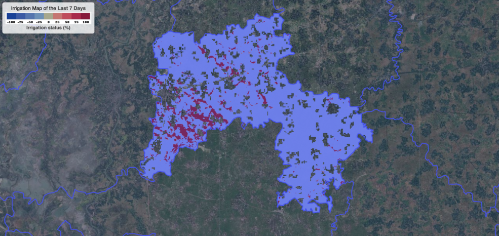
Satellite data are providing information to Bangladeshi farmers about how much water they are using, how much they have, and how much their crops need.

Satellite data are providing information to Bangladeshi farmers about how much water they are using, how much they have, and how much their crops need.

Practitioners managing the wellbeing of wetlands have a new tool at their disposal. The Wetland Insight Tool, developed by Geoscience Australia, provides a visual summary of 35+ years of wetland dynamics.
As global temperatures rise, melting permafrost is expected to cause more frequent and hazardous landslides.

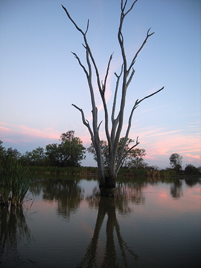
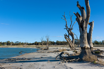
Using a quarter century of Landsat data, geospatial researchers have mapped and modeled how vegetation responds to water availability across the entire Murray-Darling Basin.