
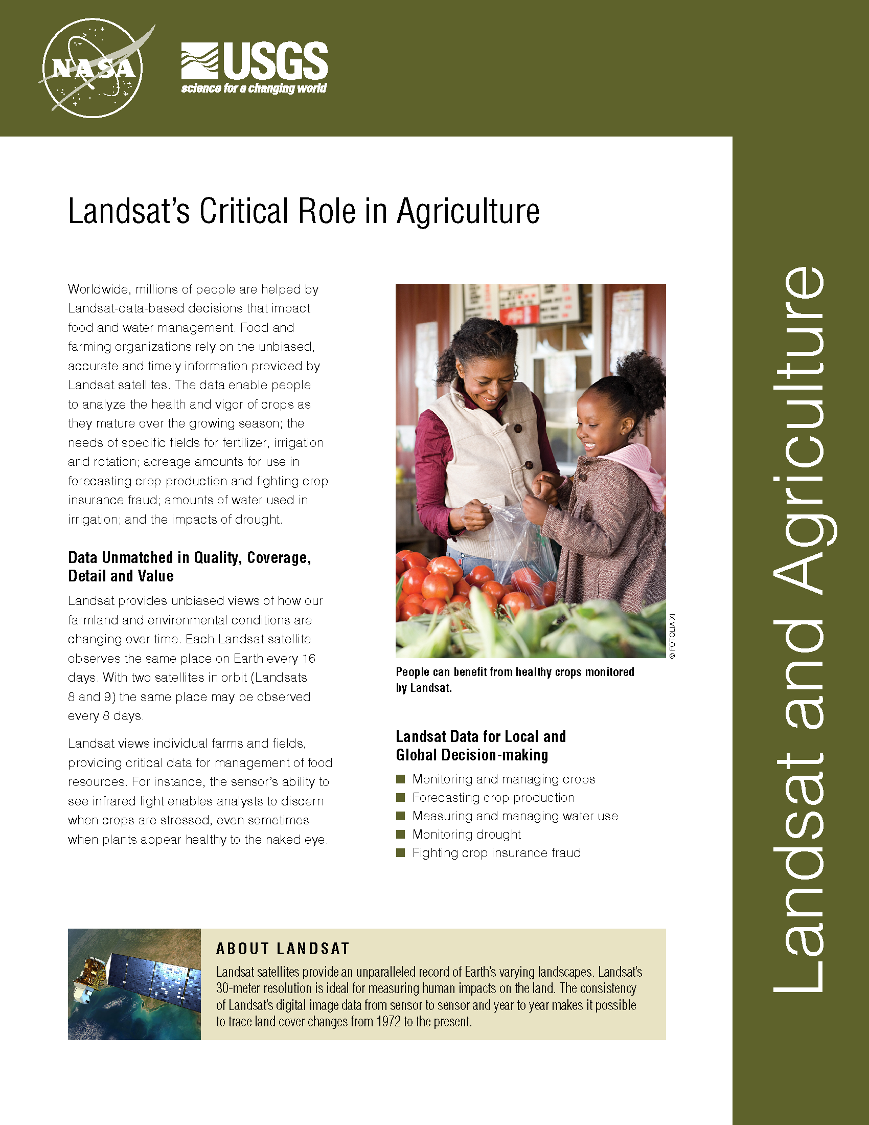
Shoring up the Corn Belt’s Soil Health
Soil is the foundation of our food systems, and sustainable farming depends upon healthy soil, which has impacts far beyond the field on air, water and climate.
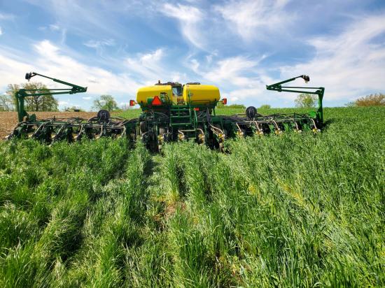
Spotting Brittany’s ‘Green Tides’ from Space
‘Green tides’ of algae have wreaked havoc across the coastlines of Brittany, France, for half a century due to high levels of agricultural runoff. With efforts to reduce these underway, a new technique using over three decades of satellite images highlights the extent of the continuing problem.
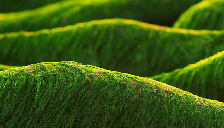
South Asian Farmers Fine Tune When to Water with Landsat
Putting NASA and USGS satellite information at farmers’ fingertips leads to less water use and better crop yields in South Asia.
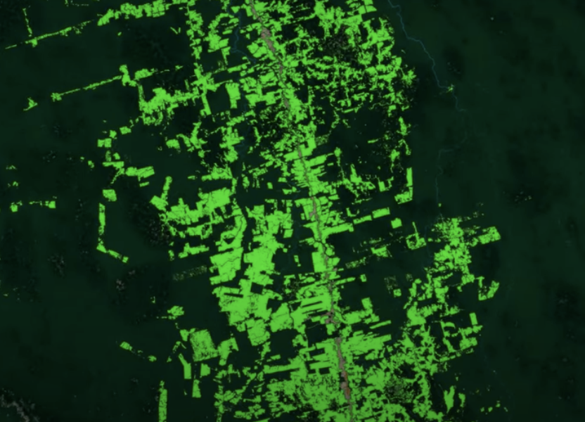
Earth Day Connections: NASA Investigates Vegetation
Scientists use Landsat to track changing patterns of deforestation that tells them how Amazonian agricultural practices have changed, from small family holdings to massive ranching operations.
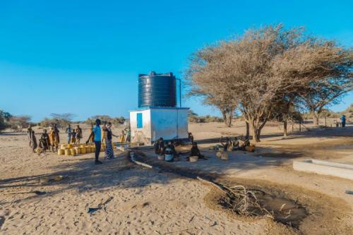
Keeping a Dry Eye on Drought in East Africa
The SERVIR team has developed models for groundwater demand based on Earth observations for parameters like rainfall and surface water from satellite missions.

From Space to Farm
Farmers rely on the accuracy of a crucial NASA and USGS mission, Landsat, to make decisions about crops.