

Landsat Data Show Rapid Recovery for Some Forests in Santa Cruz Mountains Despite Drought
NASA and the U.S. Geological Survey’s Landsat satellite images over the past three decades showed that the severe drought periods recorded since the 1980s have not slowed rapid tree and shrub growth, especially on steep slopes burned recently by wildfires.

Staying Alert: How a New Landsat-Based Tool Spots Deforestation
Forests are commodities. The biggest driver of deforestation worldwide is the economic value of trees and the land they stand on. With the high demand for agricultural land and wood products, deforestation has become an intractable problem.
Landsat Uncovers Underground Forest Fungi
A NASA-led team of scientists has developed the first-ever method for detecting the presence of different types of underground forest fungi from space, information that may help researchers predict how climate change will alter forest habitats.
Documenting Spatial and Temporal Trends of Drought
We turned to the remote sensing archive to determine if drought altered forest structure over the course of a decade-and-a-half. We analyzed 22 years of Landsat satellite data to determine changes in forest condition between 1985 and 2012.
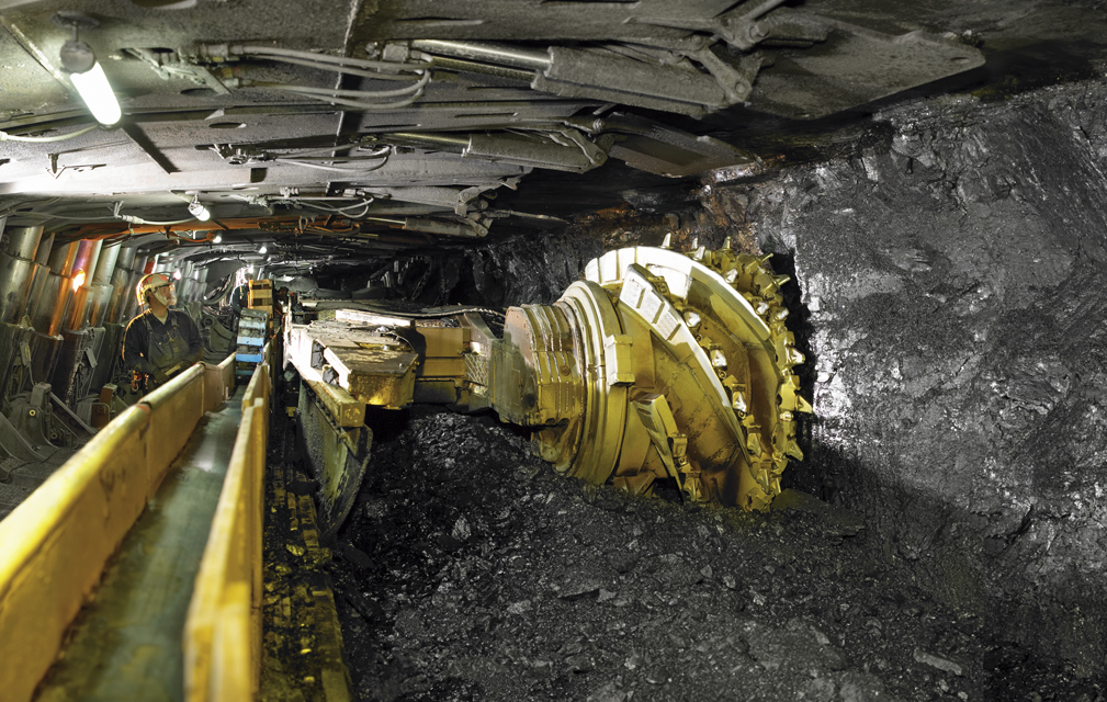
Assessing Longwall Mining Impacts on the Forests Above
Erin Pfeil-McCullough, a graduate student at the University of Pittsburgh, gave a talk at #AGU15 on insights that she has gained from her research to determine what impacts longwall mining has on forest canopies above as the ground subsides and local hydrology is altered.
Forest Disturbances and their Causes in California
Courtney Reents, a graduate student at University of Illinois at Urbana-Champaign, presented a poster on forest disturbance in California at #AGU15.
