Landsat’s Role in Managing Water Resources
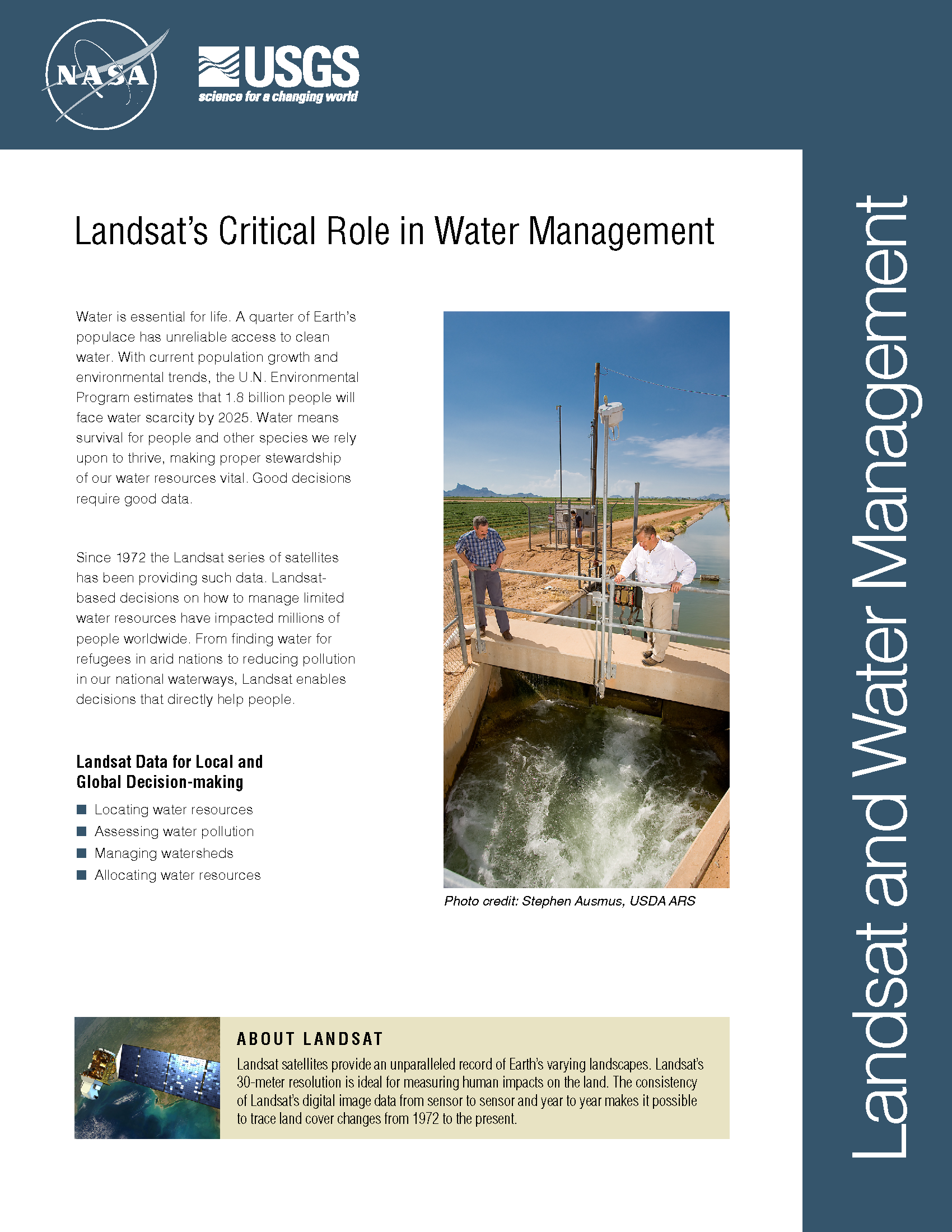
Water is essential for life. A third of Earth’s populace has unreliable access to clean water. With current population growth and environmental trends, the U.N. Environmental Program estimates that 1.8 billion people will face water scarcity by 2025. Water means survival for people and other species we rely upon to thrive, making proper stewardship of our water resources vital. Good decisions require good data. Since 1972 the Landsat series of satellites has been providing such data. Landsat-based decisions on how to manage limited water resources have impacted millions of people worldwide. From finding water for refugees in arid nations to reducing pollution in our national waterways, Landsat enables decisions that directly help people.
World Water Day
http://www.youtube.com/embed/c6OmfYEgzA0 Water is an essential resource for food cultivation. With 7 billion humans to feed, efficiently managing the planet’s water supply is essential. On March 22, 2012 the UN celebrates World
A New Way To Map Drought and Water Use Worldwide
Every month, the National Oceanic and Atmospheric Administration’s (NOAA) Center for Climate Prediction has a drought briefing by teleconference to identify the latest drought areas in North America. ARS scientists

Detecting Detrimental Change in Coral Reefs
Over dinner on R.V. Calypso while anchored on the lee side of Glover’s Reef in Belize, Jacques Cousteau told Phil Dustan that he suspected humans were having a negative impact on coral reefs.
EarthSky Interview with Martha Anderson: Using Landsat to Monitor Water Use from Space
Martha Anderson, a research scientist at the U.S. Department of Agriculture, uses images from the Landsat satellite program to monitor water use and drought on U.S. farms with pinpoint accuracy,
Scientists Track Environmental Influences on Giant Kelp with Help from Landsat Data
Scientists at UC Santa Barbara have developed new methods for studying how environmental factors and climate affect giant kelp forest ecosystems at unprecedented spatial and temporal scales. The scientists merged
Landsat Data Addresses Needs of California Growers
With the capability to provide valuable information about individual farm fields, vineyards, and orchards, NASA satellites soon will provide California growers in the San Joaquin Valley with important information about

